Hut hike Hike to Jagdhausalm 2.009m

St. Jakob im Defereggental / Rieserferner
Difficulty ratings: easy
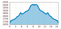
Route length: 16.6 km
Duration: 5:00 h

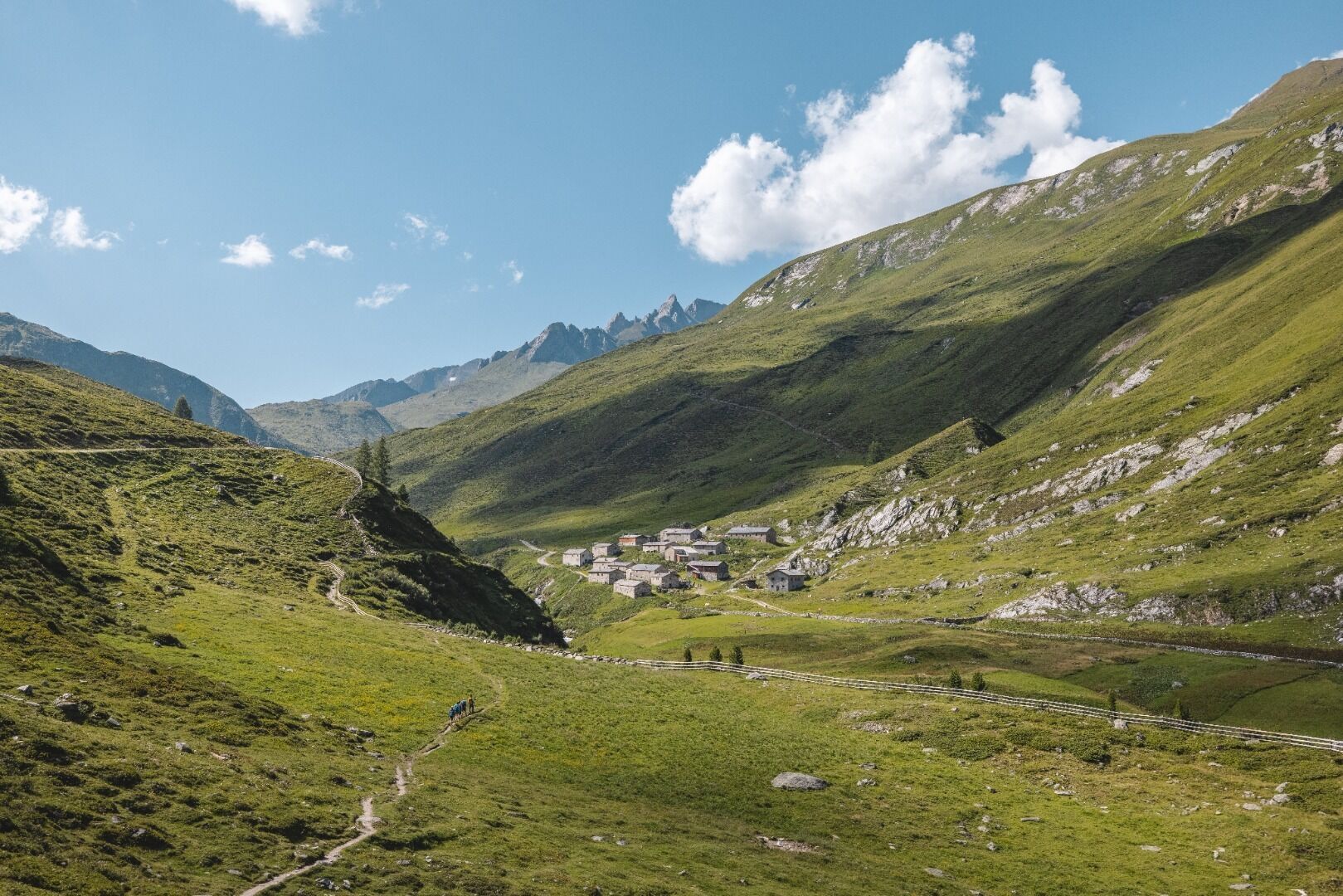
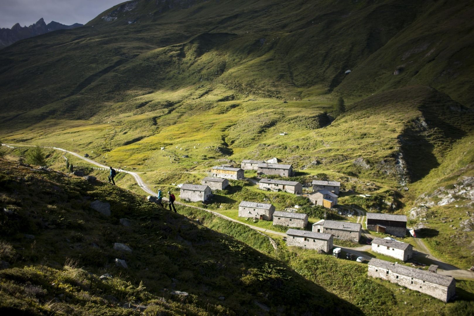
Step by step, time moves on and we walk with it - into the eventful history of the Ostiroler Jagdhausalm. Its ancient alpine huts were built from stone due to a lack of wood. Visitors suffer no shortage, the snack station offers the best food.

Tour character

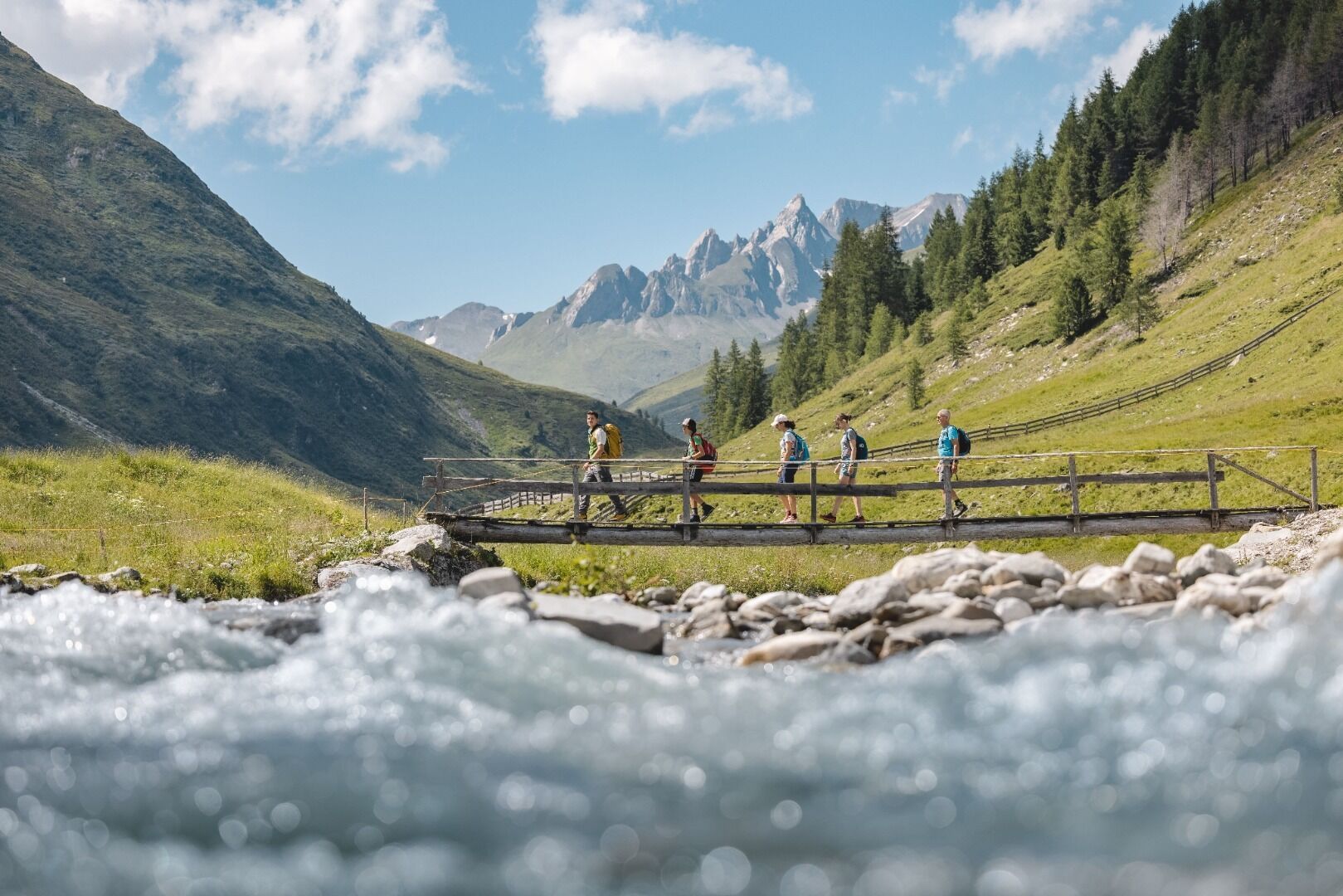
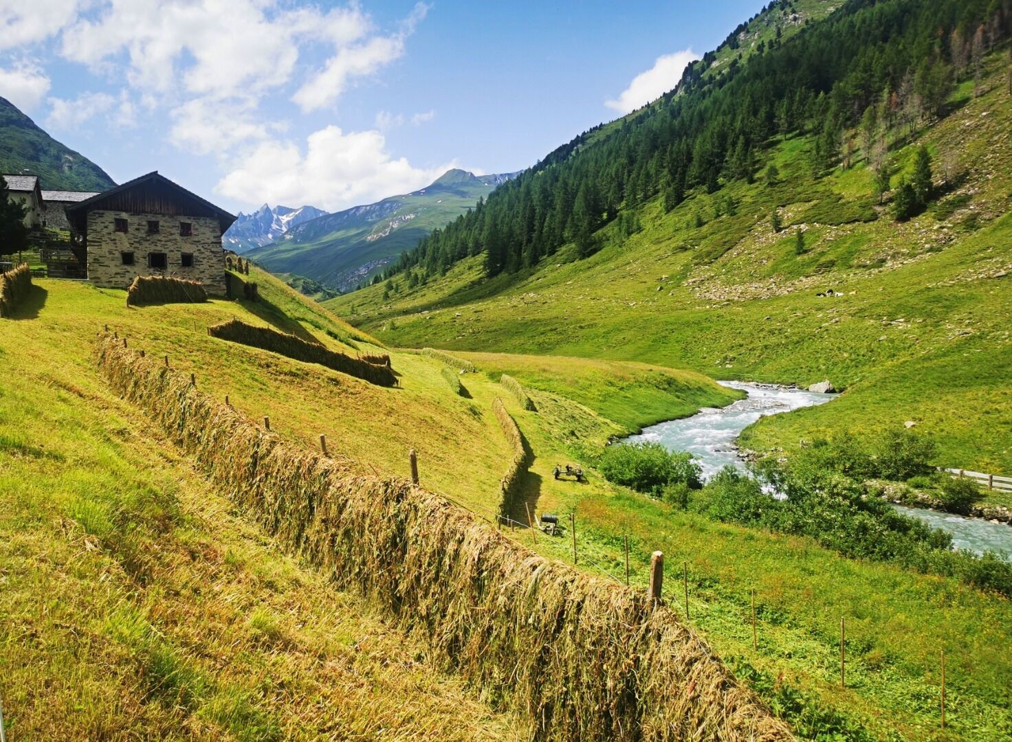
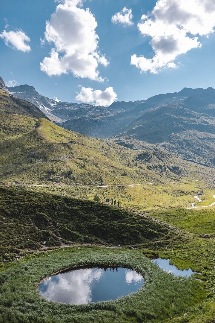
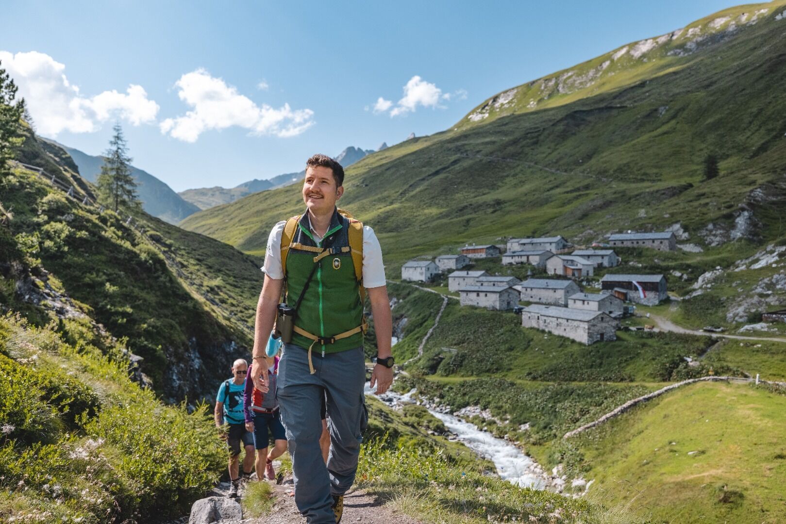
The hike via the Seebachalm through the Swiss stone pine forest to the Jagdhausalm is easy, but long: it is 15 kilometers there and back from the Alpengasthof Oberhaus in St. Jakob in Defereggen. A fascinating excursion into alpine pasture history: the origins of the Jagdhausalm settlement date back to the 13th century, the charming stone houses to the 16th century. Today they serve as stables for alpine cattle and as housing for shepherds and dairymen. Also worth seeing is the somewhat hidden little mountain pond called Pfauenauge.
Tour information

  • Requirement: easy
  • Length: 16.6 km
  • Duration: 5:00 h
  • Elevation uphill:400 hm
  • Elevation downhill:400 hm
Highest point2,014 m

Starting point

Patsch

Finishing point

Jagdhausalm
  • Fitness level 3 / 6
  • Technique 2 / 6

Features

  • Suitable for families

Best time of year

  • January
  • February
  • March
  • April
  • May
  • June
  • July
  • August
  • September
  • October
  • November
  • December

Trail condition

Schotter
Source: TVB Osttirol

Description

On the driveway from St. Jakob, 1389 m, via Maria Hilf and Erlsbach, 1555 m. All the way to Erlsbach (turn-off Staller Sattel) state road, from Erlsbach to Alpengasthof Oberhaus (carpark) toll road - here is where the protected area of Hohe Tauern National Park begins. Follow the alpine driveway via Seebachalm to Jagdhausalm, Austria’s oldest alpine farm, which is farmed by South Tyrolean farmers.

At the hiking trail from Erlsbach; to Patscheralm 1 hour 15 minutes, to Oberhausalm 1 hour 45 minutes, Seebachalm 3 hours, Jagdhausalm 4 hours, Klammljoch 5 hours.

Nearby huts and mountain restaurants

Weather

Today

clear sky
20°C/6°C
0%0l5 km/h

Wed

light rain showers
20°C/9°C
75%19.3l5 km/h

Thu

Thunderstorm
14°C/9°C
70%15.7l0 km/h
Go to weather forecast

More tours in the surrounding area

  • Children's mile Golzentipp

    Difficulty:easy
    Length:3.7 kmDuration:2:00 hElevation uphill:140 m
  • Badener Hütte

    Difficulty:difficult
    Length:23.2 kmDuration:12:00 hElevation uphill:1,754 m
  • Lucknerhaus - Stüdlhütte

    Difficulty:medium
    Length:9.3 kmDuration:4:30 hElevation uphill:862 m
  • Hiking tour to St. Pöltner Hütte and 3 lakes

    Difficulty:difficult
    Length:14.8 kmDuration:7:40 hElevation uphill:1,119 m
  • Hike to Kalser Tauernhaus

    Difficulty:medium
    Length:12.2 kmDuration:4:00 hElevation uphill:244 m
  • Hiking tour to Neue Sajathütte 2.600m

    Difficulty:medium
    Length:10.3 kmDuration:6:50 hElevation uphill:1,086 m
  • Hiking tour to Zupalsee Hütte 2.350m

    Difficulty:medium
    Length:14.9 kmDuration:8:30 hElevation uphill:1,261 m
  • Hike to Neuen Reichenberger Hütte

    Difficulty:medium
    Length:18.2 kmDuration:9:00 hElevation uphill:1,252 m
  • Hiking tour to Lasörlinghütte 2.350m

    Difficulty:medium
    Length:14.6 kmDuration:7:50 hElevation uphill:1,135 m
  • Circular walk church St. Nikolaus

    Difficulty:easy
    Length:5.4 kmDuration:1:39 hElevation uphill:150 m
  • Lasörling 3.098m

    Difficulty:difficult
    Length:22.0 kmDuration:12:00 hElevation uphill:1,940 m
  • Lake Schwarzsee

    Difficulty:medium
    Length:7.8 kmDuration:3:30 hElevation uphill:790 m
  • Rote Spitze 2,956 m

    Difficulty:medium
    Length:10.2 kmDuration:5:30 hElevation uphill:1,260 m
  • Rotenkogel

    Difficulty:difficult
    Length:3.9 kmDuration:3:00 hElevation uphill:383 m
  • Rollitour with Swiss Trac

    Difficulty:easy
    Length:3.2 kmDuration:1:30 hElevation uphill:135 m
Newsletter

The mountain is calling? So does our newsletter!

In our monthly newsletter we reveal the best holiday tips for Tyrol.