Mountain hikes Fiss via Mittlerer Sattelkopf

Fiss / Samnaungruppe
Difficulty ratings: medium
Route length: 6.8 km
Duration: 3:00 h

Fiss via Mittlerer Sattelkopf

Tour information

  • Requirement: medium
  • Length: 6.8 km
  • Duration: 3:00 h
  • Elevation uphill:61 hm
  • Elevation downhill:959 hm
Highest point2,427 m

Starting point

Schönjochbahn top station

Finishing point

Fiss
Source: Serfaus-Fiss-Ladis

Description

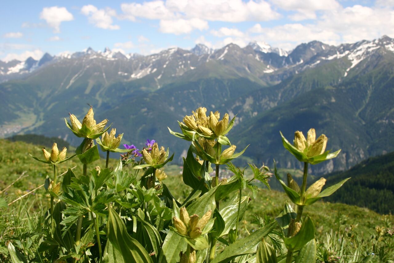
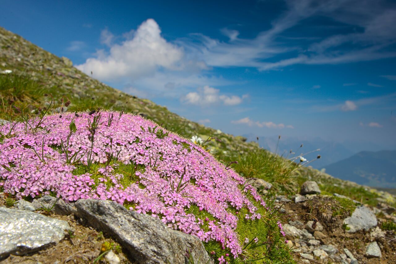
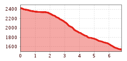
From the Schönjochbahn (F087) at the Fisser Joch on the Adlerweg trail no. 20 to the Mittleren Sattelkopf (S250). From here, go left on the Sattelsteig path no. 11 (S251) down to the Möseralm (F113) and to Fiss (F129), also possible on the Waalsteig trail no. 8.

Nearby huts and mountain restaurants

More tours in the surrounding area

Newsletter

The mountain is calling? So does our newsletter!

In our monthly newsletter we reveal the best holiday tips for Tyrol.