
Opening hours:Today closed
Place:
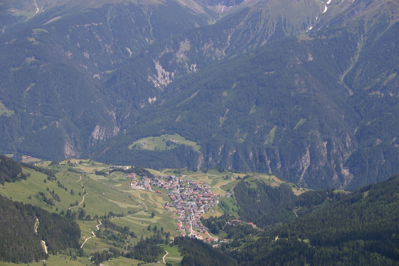
Fiss
:
Alpine pasture / hut / mountain restaurant
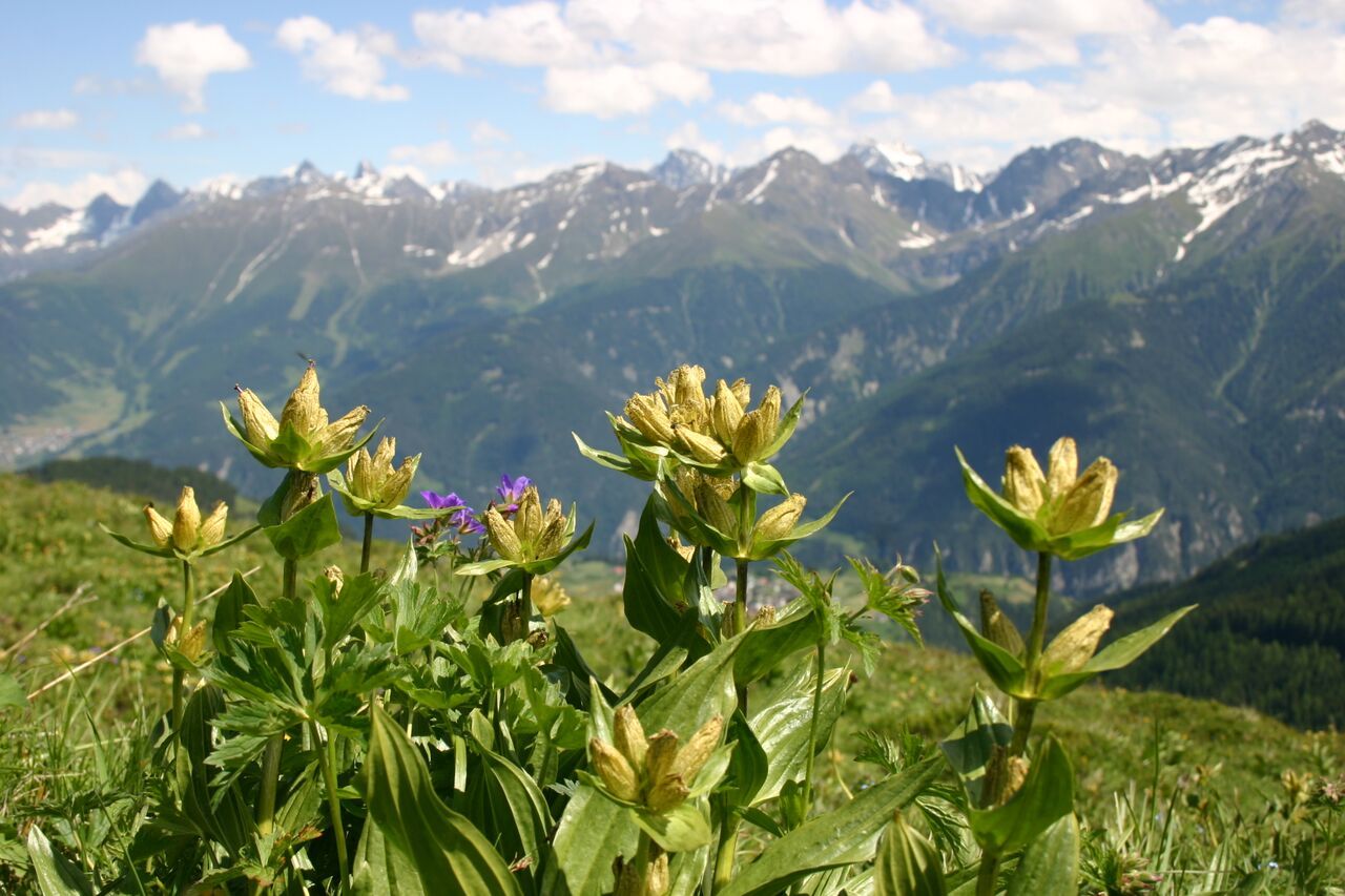
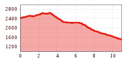
Fiss via Unterer Sattelkopf
From the Schönjochbahn mountain terminal (F087) on the Gratsteig path no. 23 to the Brunnenkopf (S255), from here a steeper descent on the Brunnenkopf trail (S246, no. 20 a) to the Wuellensteig trail no. 20 (S244/247). In eastern direction to the crossing (S248), turn right down on trail no. 8 to the Unteren Sattelkopf (S251) and via Sattelsteig path no. 11 again rather steeply down to the Möseralm (F113) and on the vehicle track to Fiss (F129).


