
Opening hours:Today closed
Place:
Fiss
:
Alpine pasture / hut / mountain restaurant
Fisser Joch to Lazid
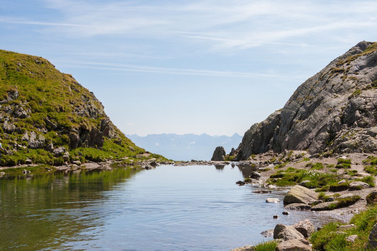
From the Fisser Joch (F087) take trail no. 20 to the crossing with the Brunnenjochsteig path (S247), take this trail and continue along the slope on trail no. 702 (S207) to the Furglersee lake (S211). On the other side of the lake, go to the Kitzköpfle and on the eastern side of the Furgler, over to the Scheid (S217) and over the ridge to the cablecar at the Lazid (S301, trail no. 25a).


