Mountain hikes Fisser Joch via Brunnenjoch

Fiss / Samnaungruppe
Difficulty ratings: medium
Route length: 9.0 km
Duration: 5:00 h

Fisser Joch via Brunnenjoch

Tour information

  • Requirement: medium
  • Length: 9.0 km
  • Duration: 5:00 h
  • Elevation uphill:653 hm
  • Elevation downhill:627 hm
Highest point2,658 m

Starting point

Schönjochbahn top station

Finishing point

Schönjochbahn top station

Features

  • Circular route
Source: Serfaus-Fiss-Ladis

Description

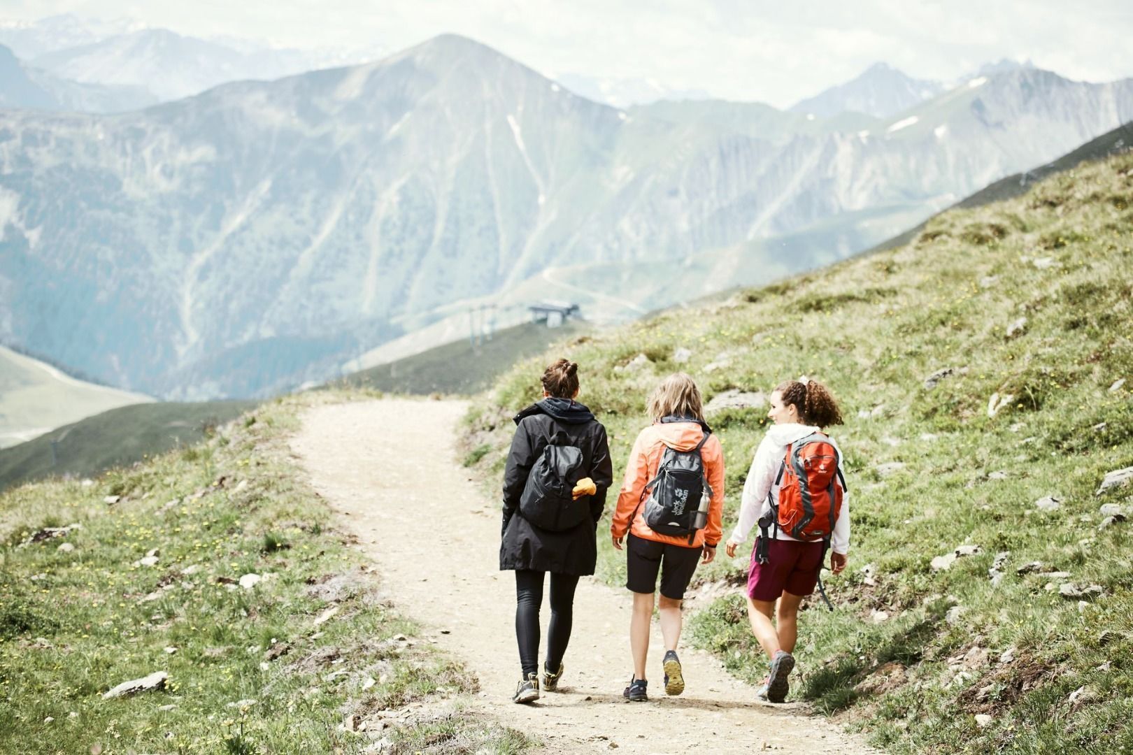
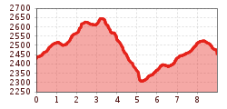
From the Fisser Joch (F087) on the Gratweg trail no. 23 pass the Brunnenjoch (S257) to the crossing (S258). Descent on trail no. 17 through the Urgtal valley to the Spinnseensteig path (F104, no. 16) and on this trail back to the Fisser Joch.

Nearby huts and mountain restaurants

More tours in the surrounding area

Newsletter

The mountain is calling? So does our newsletter!

In our monthly newsletter we reveal the best holiday tips for Tyrol.