
Opening hours:Open today
Place:Söll
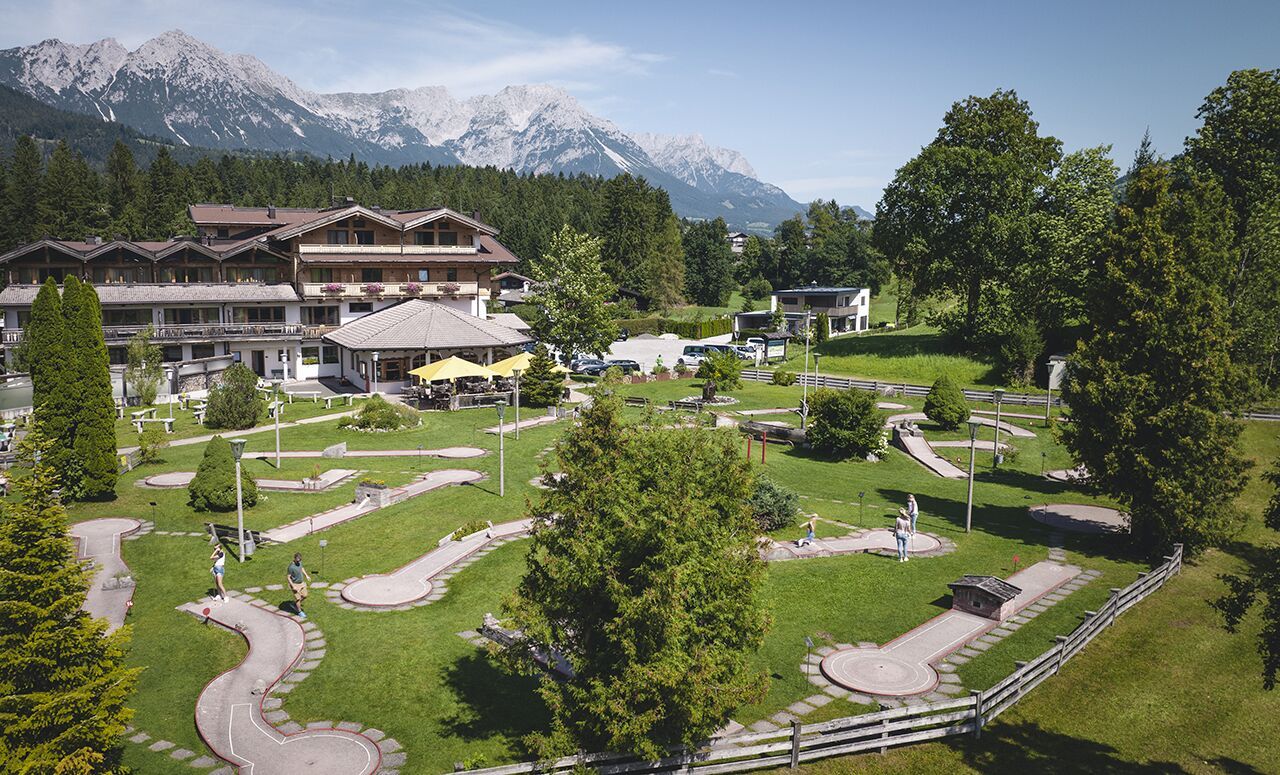
:Restaurant, café
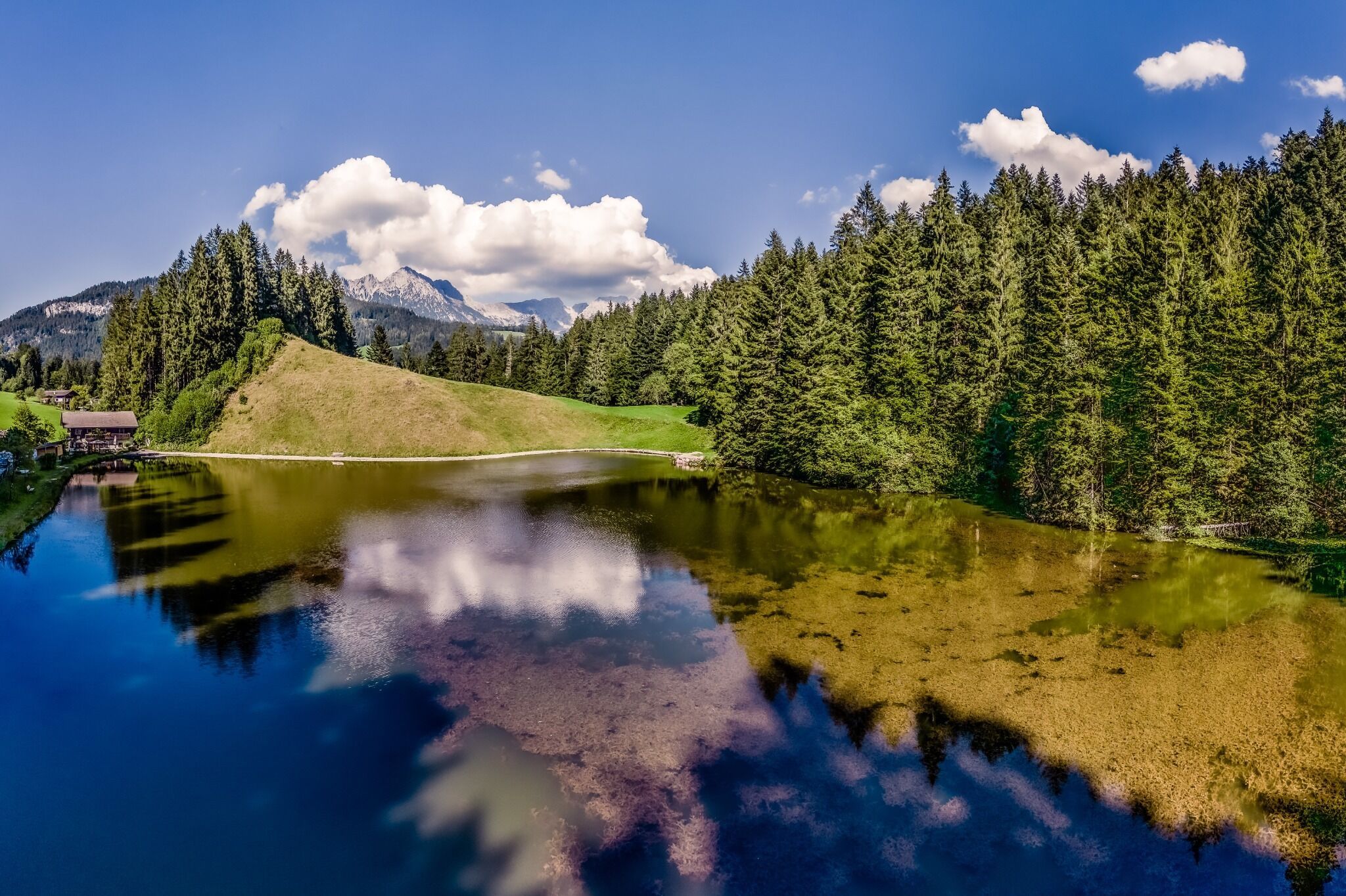
Short, idyllic forest circuit with training opportunities in nature parkour.
KaiserJet/Postbus stop “Söll Dorf” – followed by approx. 10-minute hike to the hiking starting point (Franzlhof leisure centre).
More information at: www.wilderkaiser.info/mobility
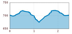
Franzlhof leisure centre car park, Söll (703 m) – free


