
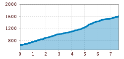
Difficulty:
medium
Length:
7.0 km
Duration:
3:00 h
Elevation uphill:
940 m
Flaurlinger Alm mountain hut
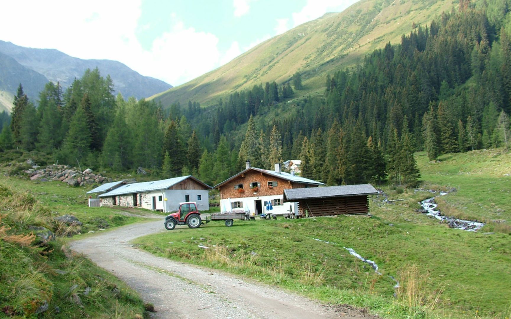
Starting from the village centre, the trail first leads to the hamlet of Schwaighof and continues through the Flaurlinger Tal valley. After crossing the Kanzingbrücke bridge, the route leads past the Kohlerkapelle chapel on Alpine Club trail no. 154 to the Flaurlinger Alm mountain hut at 1,614 metres. If you wish, you can hike on to the Oberhofer Galtalm, which is also serviced, in around five minutes. Both mountain huts offer Tyrolean cuisine. The route is varied on tarmac, gravel and forest paths.


.jpg")


