Mountain hikes Flirsch - Mösli - Ganatschalm - Gsellaplon - Flirsch

Flirsch / Verwall
Difficulty ratings: medium
Route length: 9.0 km
Duration: 5:00 h

Flirsch - Mösli - Ganatschalm - Gsellaplon - Flirsch

Tour information

  • Requirement: medium
  • Length: 9.0 km
  • Duration: 5:00 h
  • Elevation uphill:813 hm
Highest point1,914 m

Features

  • Circular route

Best time of year

  • January
  • February
  • March
  • April
  • May
  • June
  • July
  • August
  • September
  • October
  • November
  • December

Trail condition

Forest and panorama hike

Equipment

Good walking boots, poles and drinks/snacks, rain jacket, sun protection
Source: St. Anton am Arlberg (Region)

Description

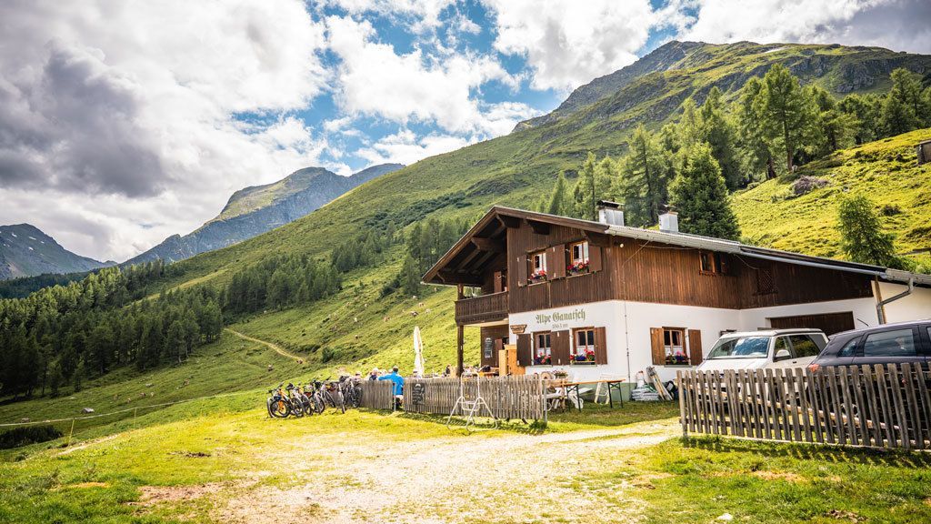
Starting from the church, follow the village road in an easterly direction until the junction with the main road, then follow this road in an easterly direction until the junction on the right over the Rosanna. From here, follow the Alpe Gampernun road (trail11) to the first bend, then continue on the steep trail no. 10 towards Mösli (biotope, nature reserve), a marshy high ground with a small pond. A marked trail (trail 13) leads on to the Ganatschalm (St). Shortly after the alpine pasture, branch off onto trail no. 13A, follow it to the next junction, where we now continue hiking on trail 12 to Flirsch.

More tours in the surrounding area

Newsletter

The mountain is calling? So does our newsletter!

In our monthly newsletter we reveal the best holiday tips for Tyrol.