
Arrival by public transport
By train to Sonthofen, Pfronten/Ried or Reutte, then by bus to Grän/Haldensee. Bus stop Seeparkplatz.
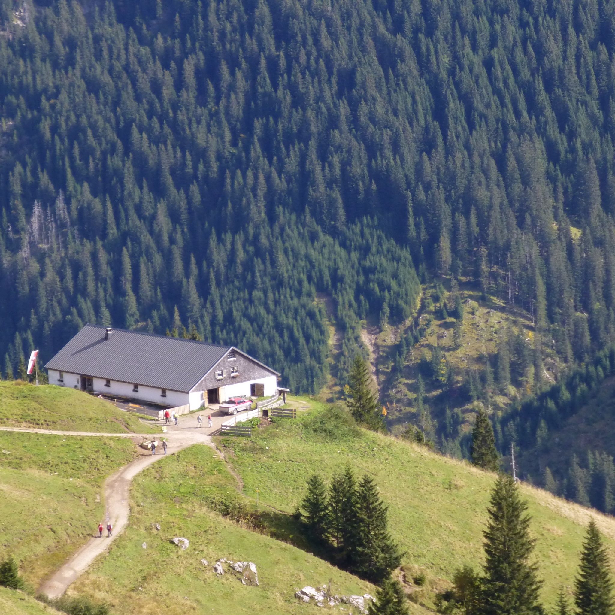
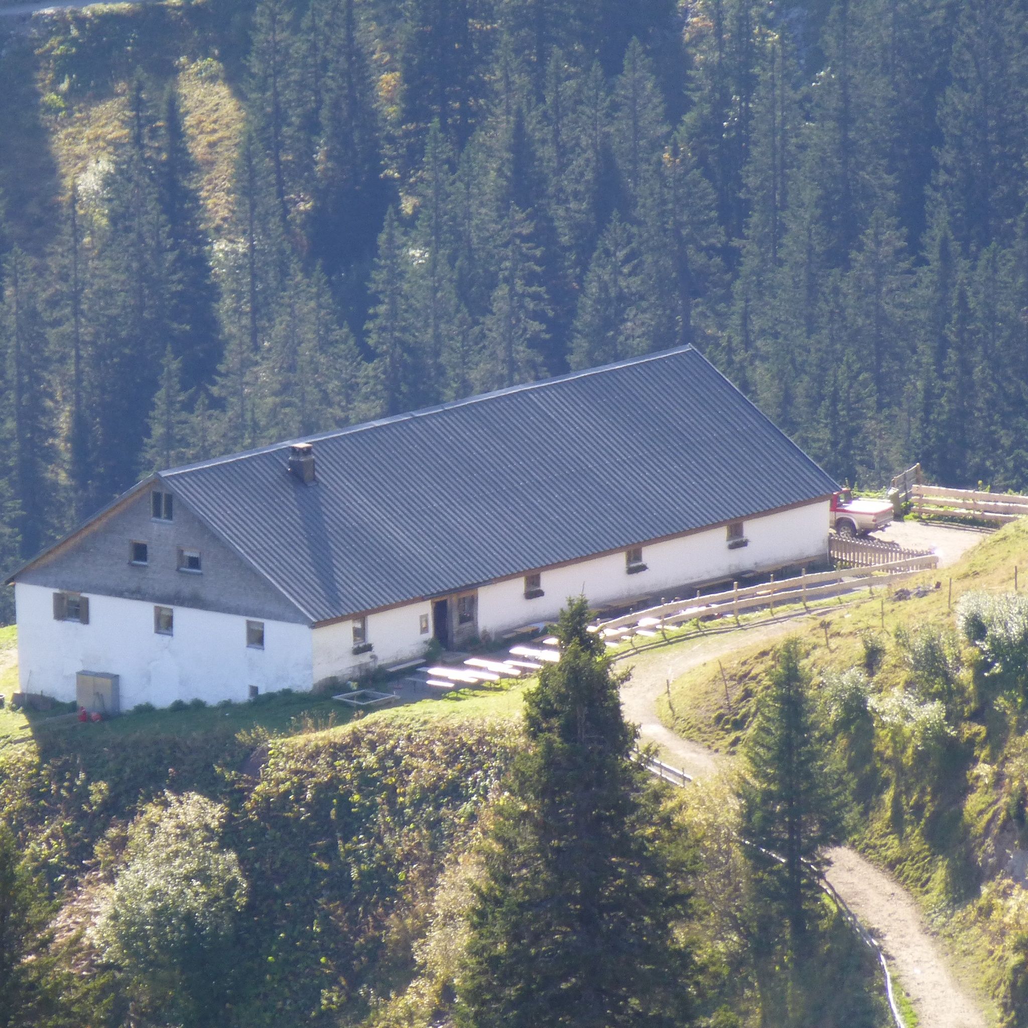
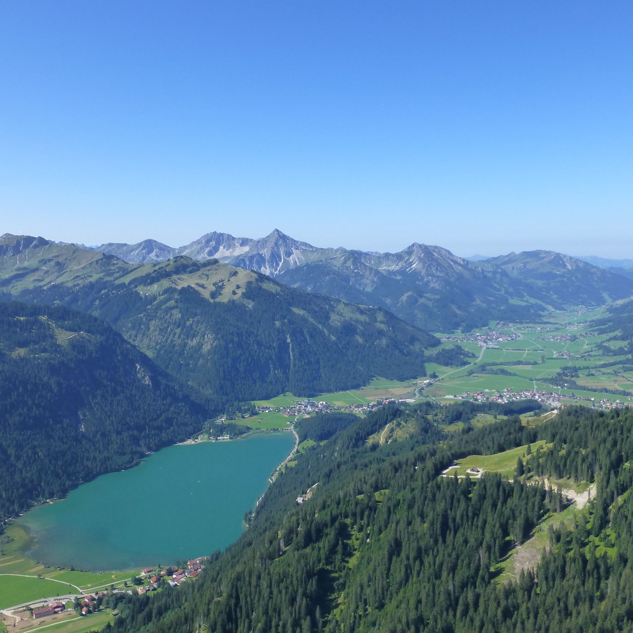
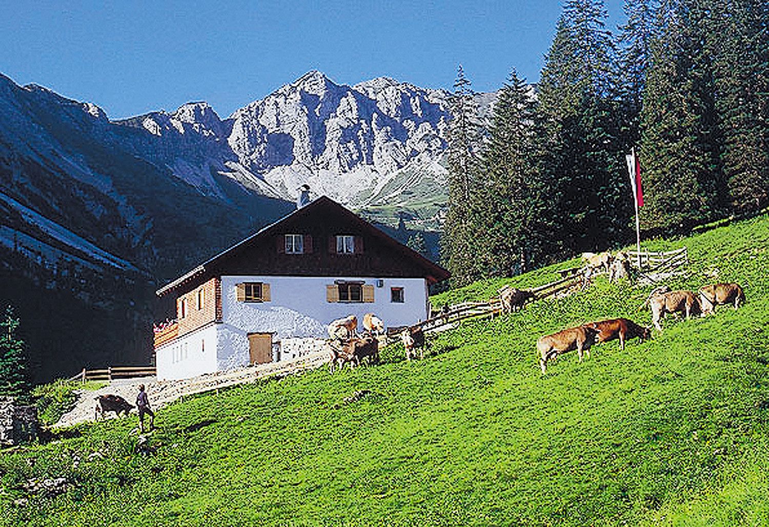
A hike for the whole family to Strindenalm in Haldensee.
General valid and common rules of conduct:It should be noted that mountain sports carry an increased risk of accidents and injuries. Despite careful route planning, there is always a basic risk. Preparation for the tour through endurance training, appropriate technical training and further education as well as personal prudence reduces the risk of accidents and hazards. But please never forget that the weather in the mountains can change very quickly. Stay on the marked hiking trails.
Personal mountain sports equipment must be safe and functional and correspond to the respective technical standard. Every hiker is advised to inform themselves about the planned routes in alpine specialist literature or on site.Hikers can expect a versatile offer in the "most beautiful high valley in Europe." There are hiking trails for every taste and every requirement. A walk to Vilsalpsee is pure pleasure hiking. For the ambitious vacationer, the Tannheimer circular hiking trail is a special experience. It can be completed in around ten hours by well-trained hikers.
By train to Sonthofen, Pfronten/Ried or Reutte, then by bus to Grän/Haldensee. Bus stop Seeparkplatz.
On the A7 motorway at the exit "Oy-Mittelberg" take the B310 towards Wertach and then to Oberjoch. There follow the signs "Tannheimer Tal" B199 until Haldensee. From the Tyrol side via Reutte on the B198 towards Lechtal to Weißenbach, over the Gaichtpass along the B199 to Haldensee.
Parking lot at Haldensee - paid.

