.jpg")
Difficulty:
difficult
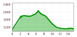
Length:
13.0 km
Duration:
7:30 h
Elevation uphill:
1,054 m
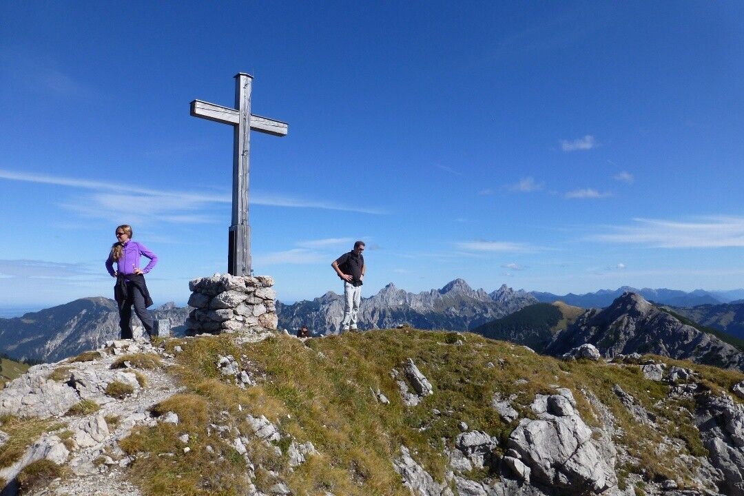
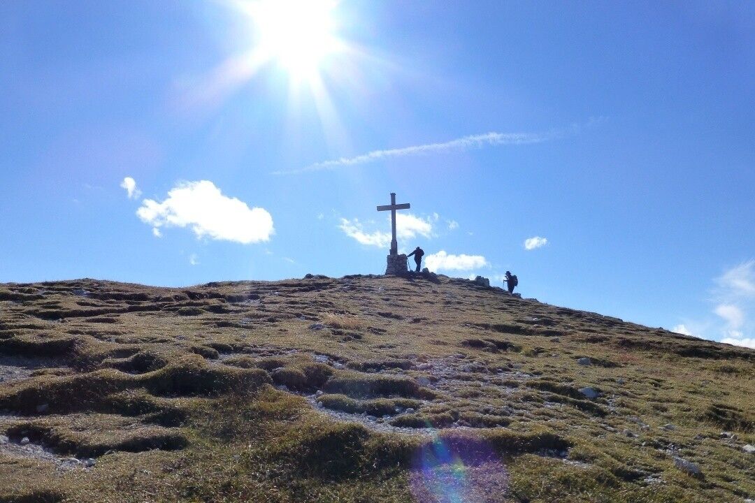
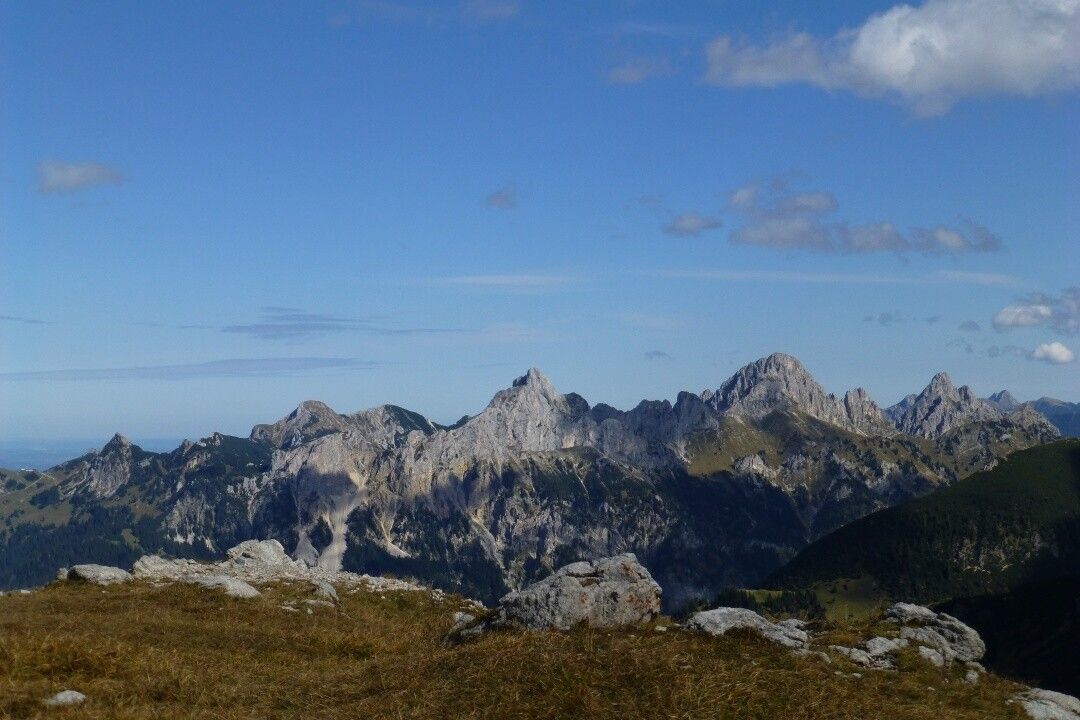
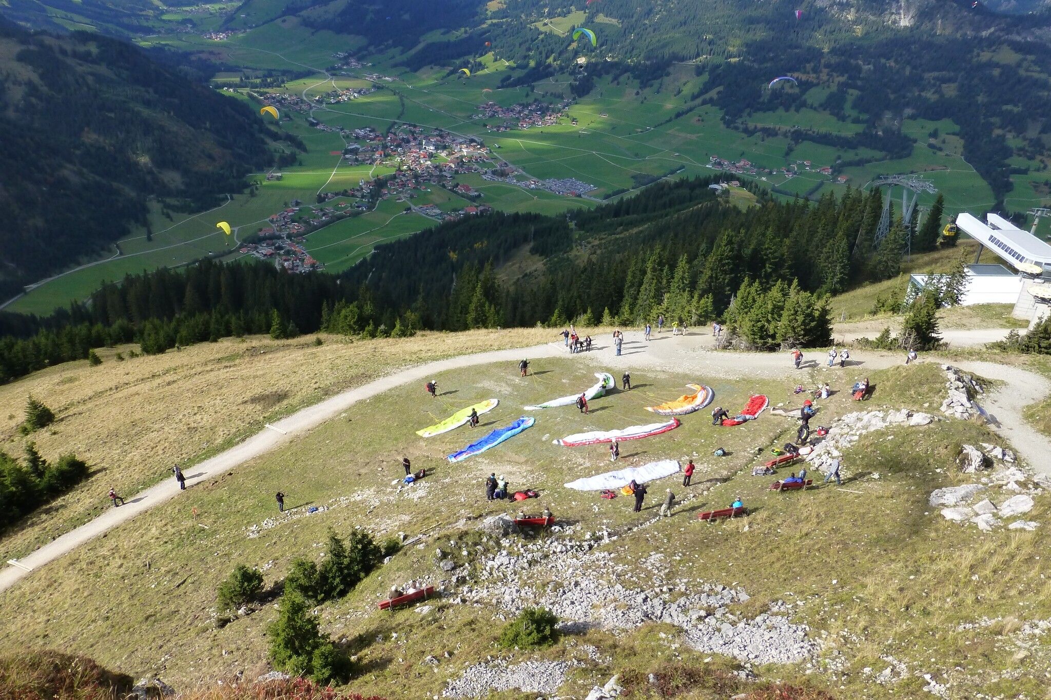
Short description:Dreamlike summit route to the SulzspitzeQuality of experience: ******Recommended season:JuneJulyAugustSeptemberOctoberProperties:LoopScenicRefreshment stops availableGeological highlightsBotanical highlightsFaunistic highlightsCableway ascent/descentSummit route
Description:
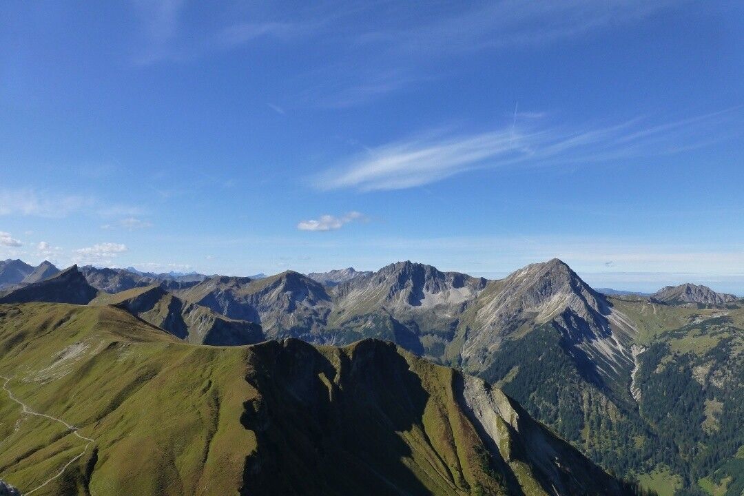
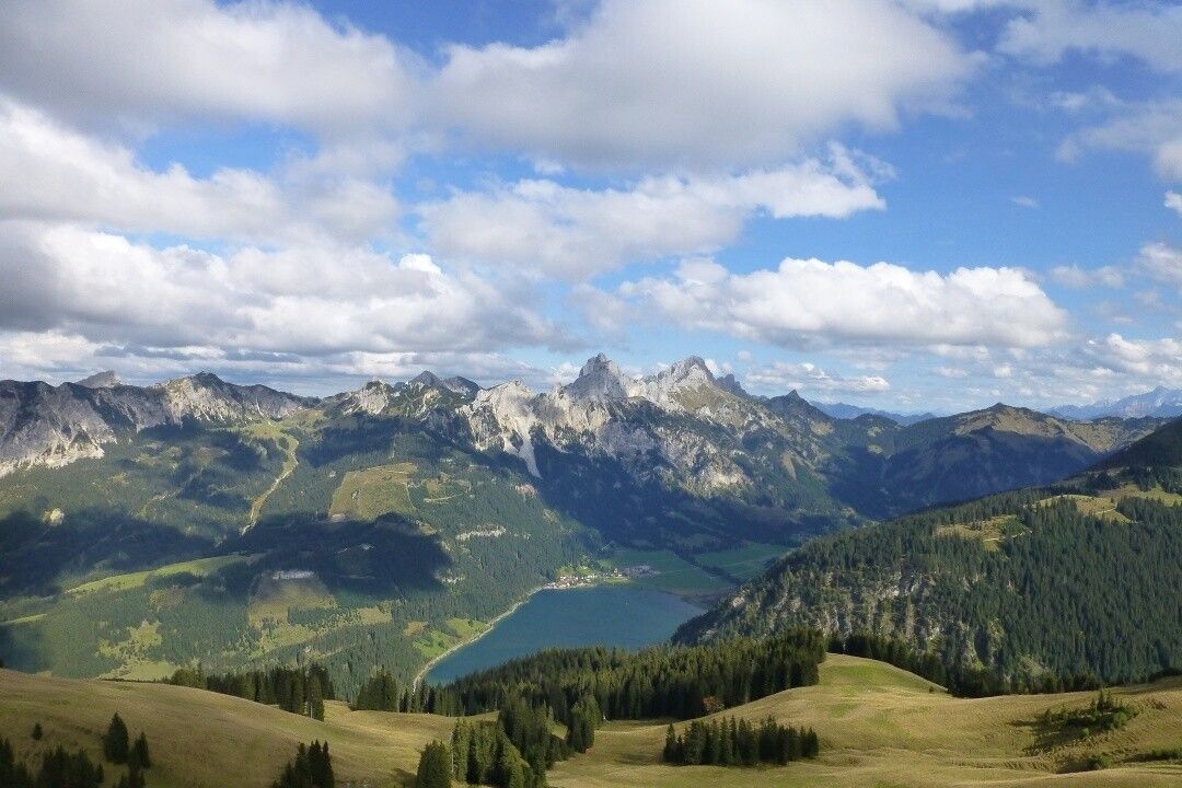
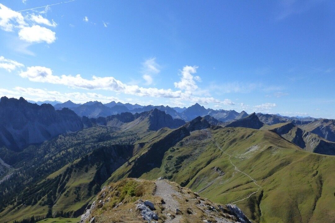
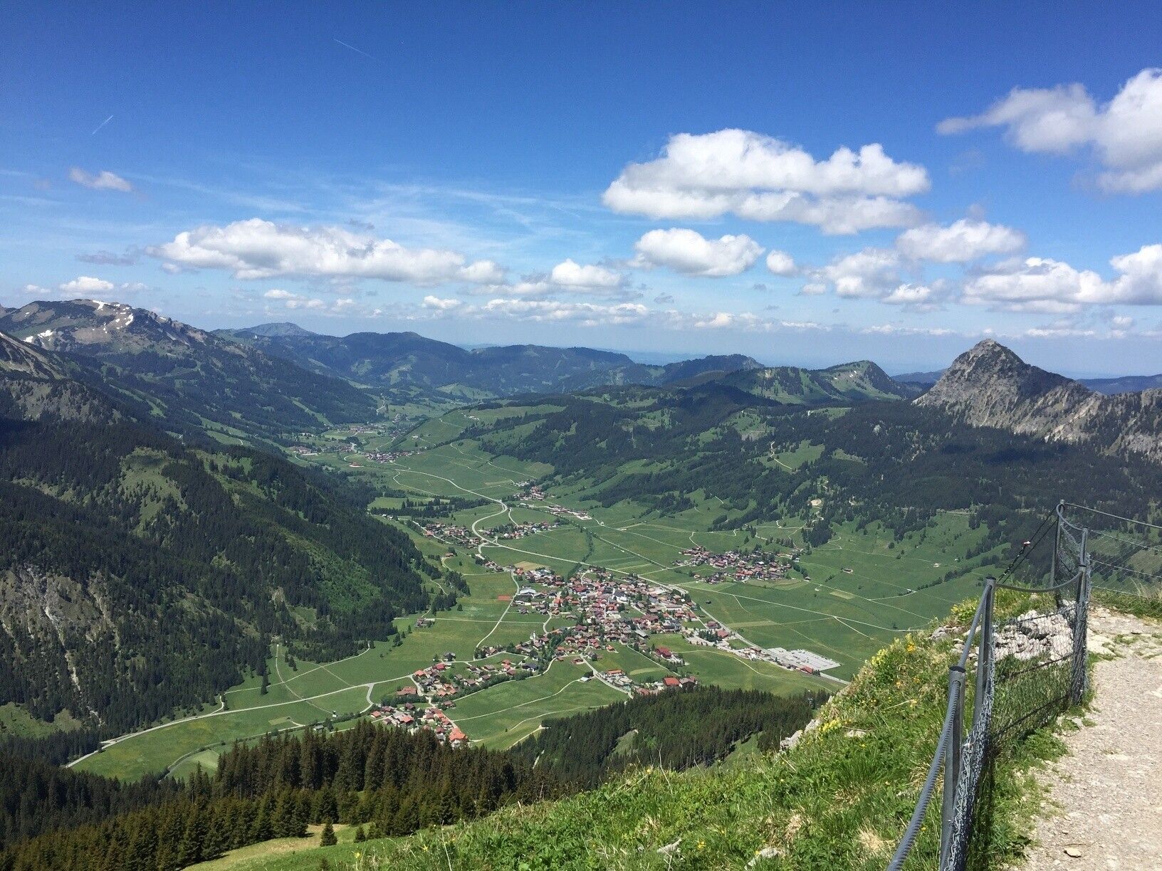
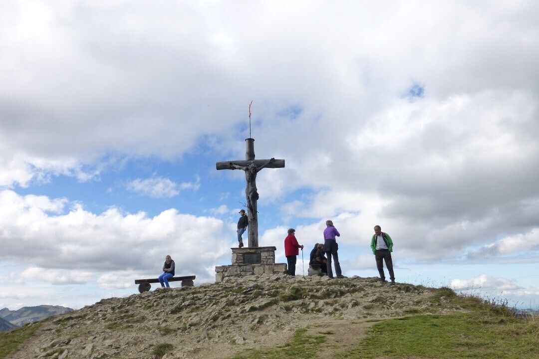
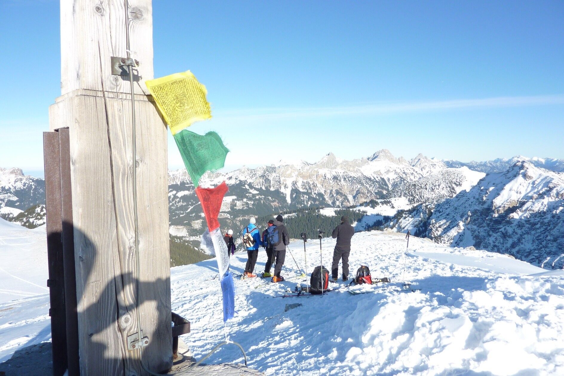
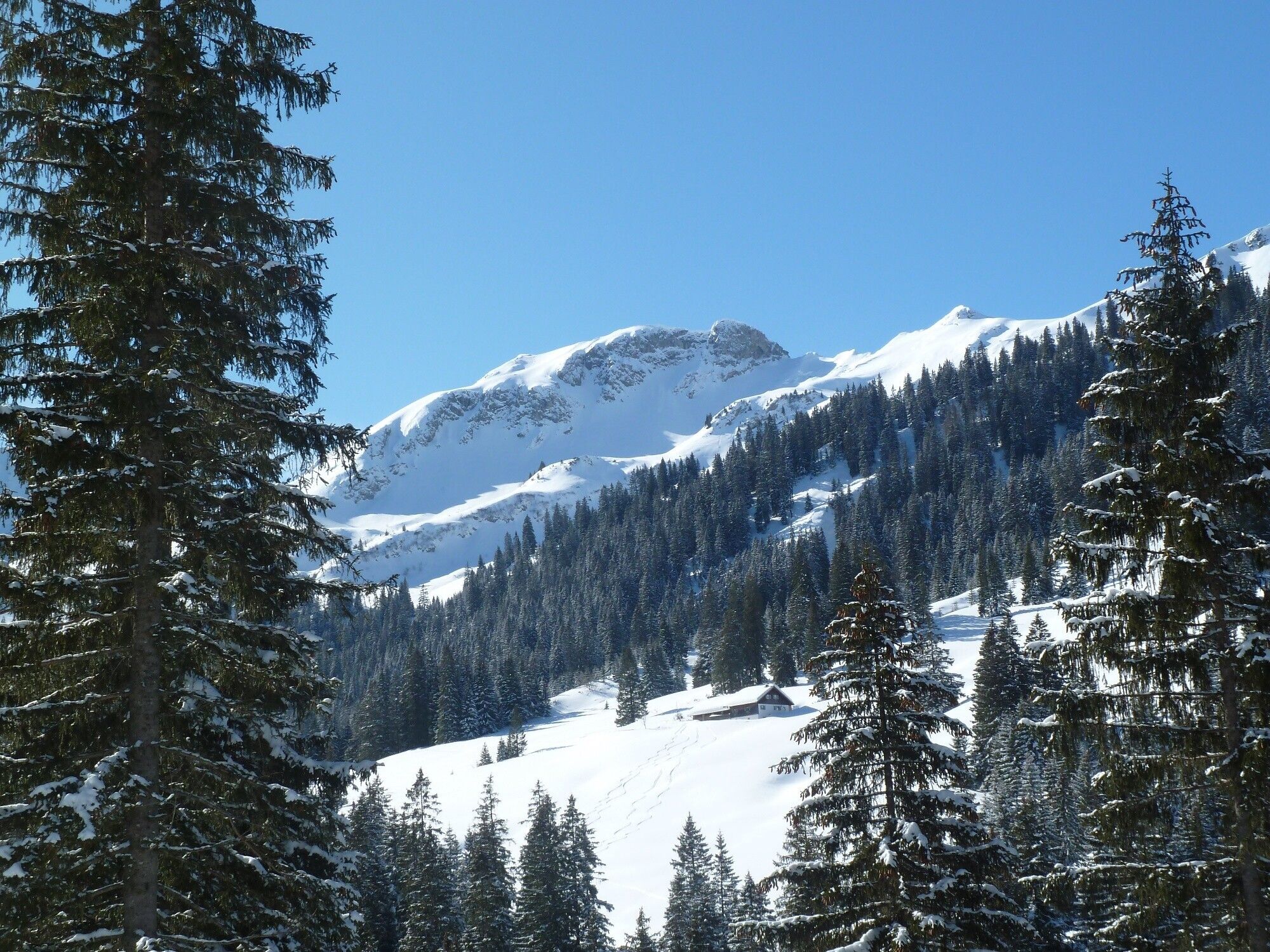
A wonderful summit hike to the Sulzspitze. The route offers wonderful views, a beautiful summit panorama, and several refreshment options. The Sulzspitze is not only a popular mountain in summer but also a favorite for ski tourers in winter. The Sulzspitze is a beautiful, not too difficult mountain that can be hiked in almost any season.
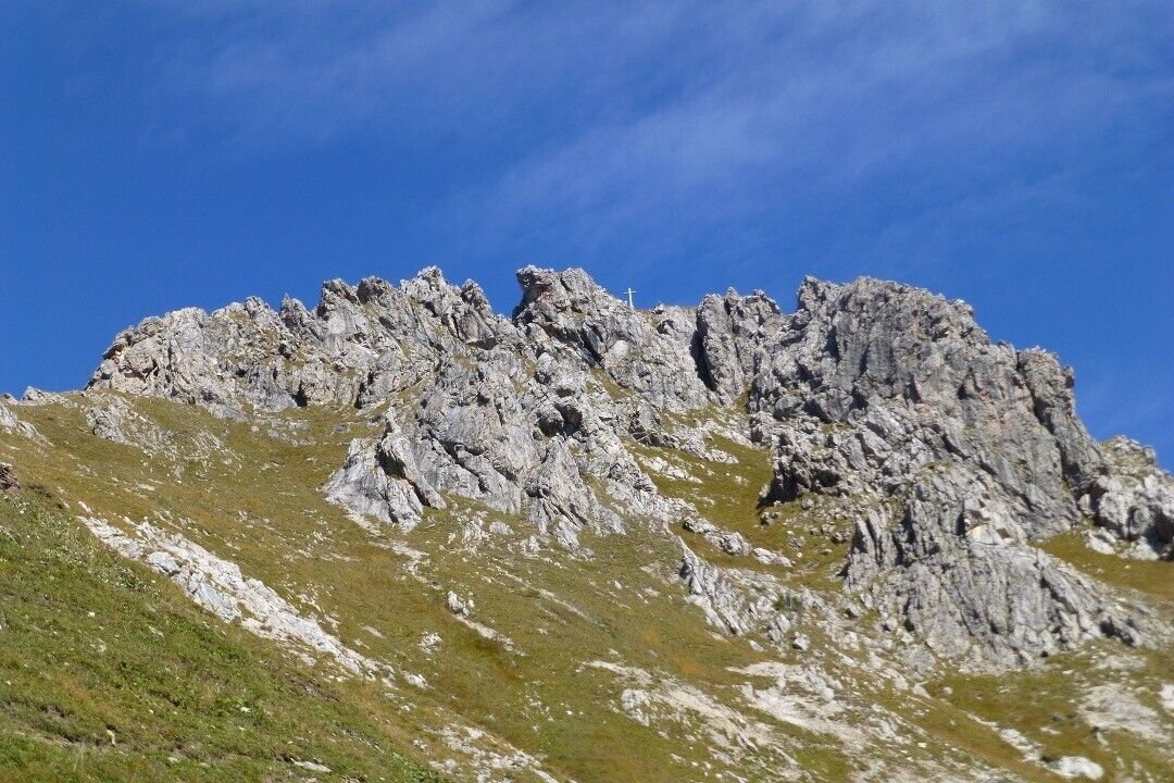
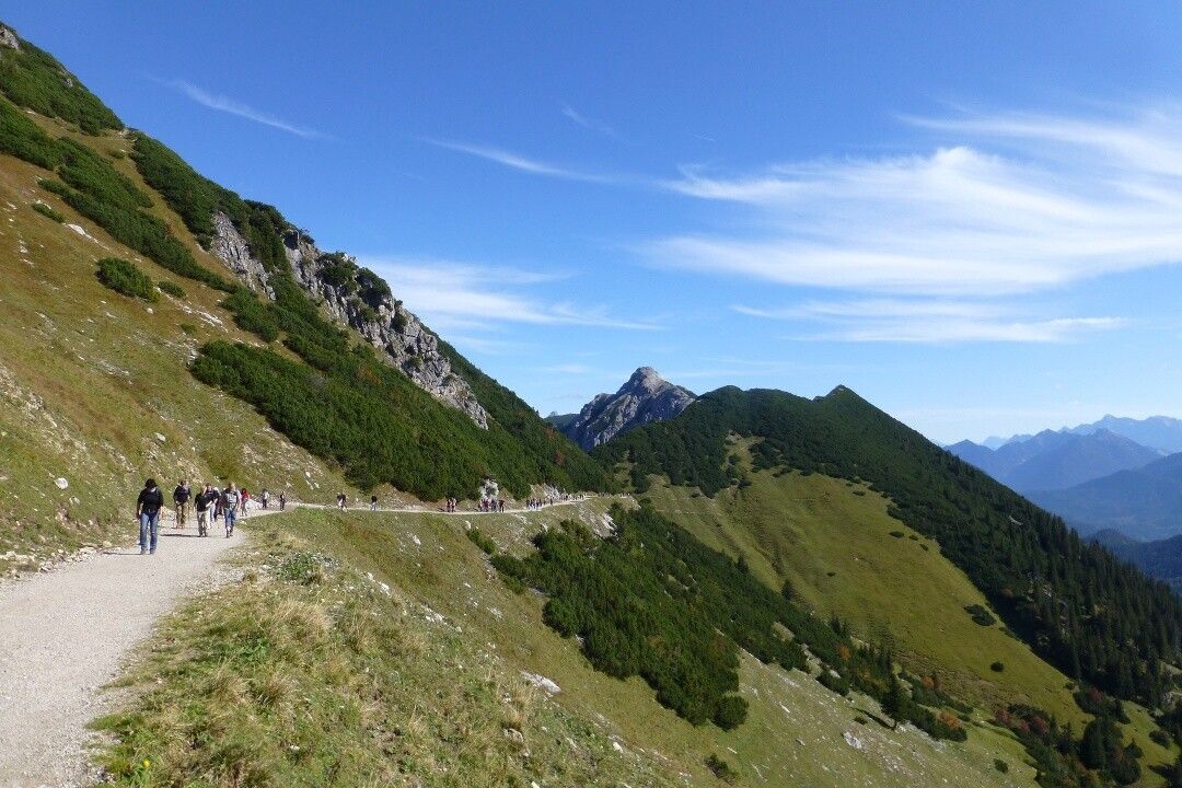
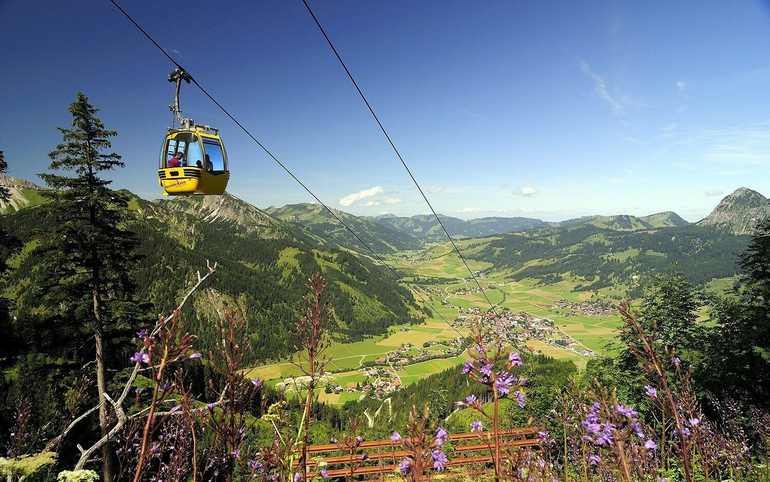
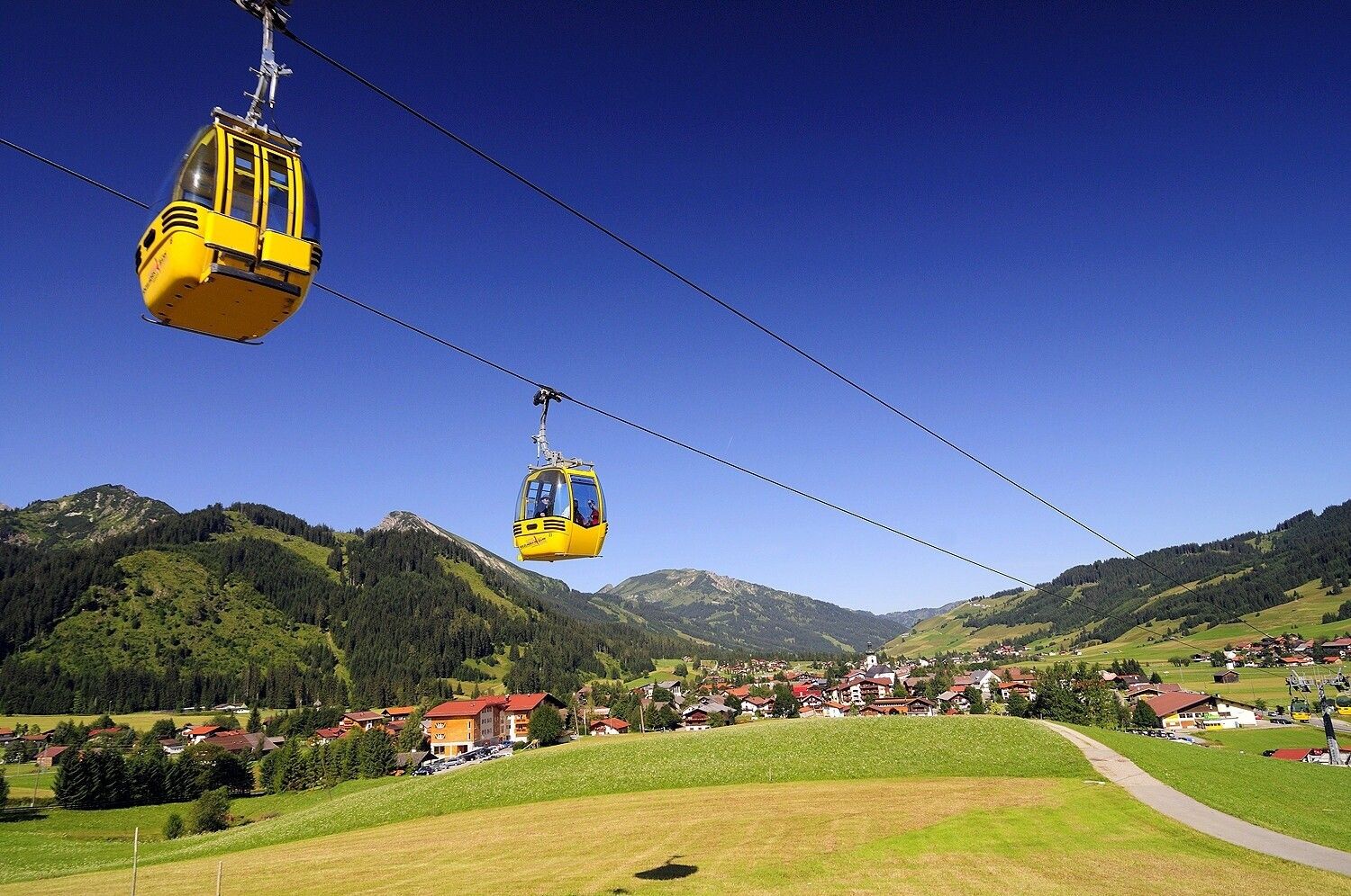
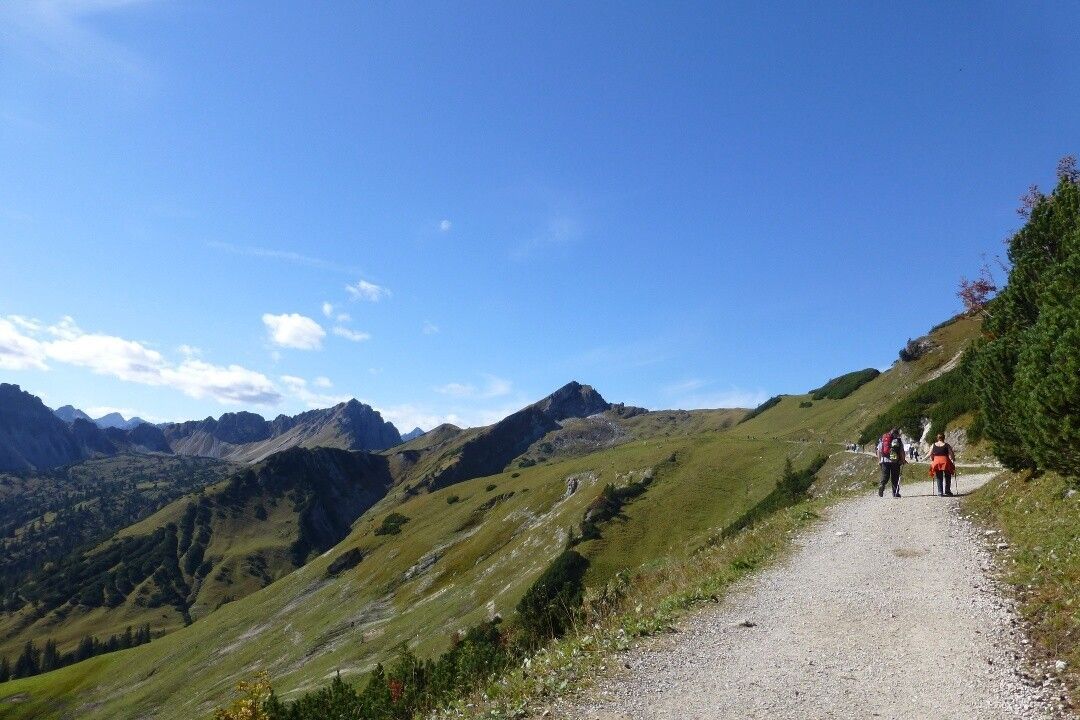
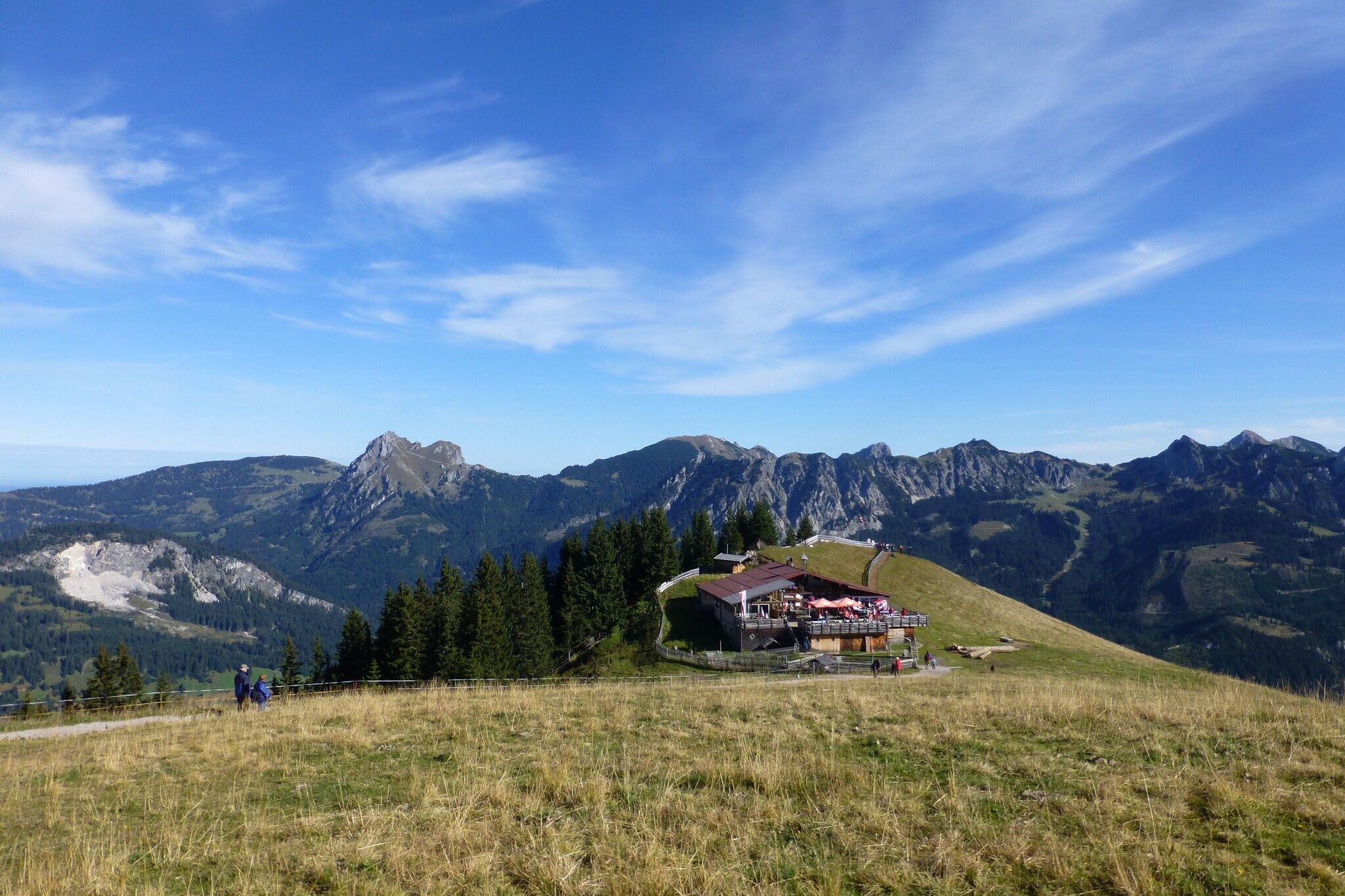
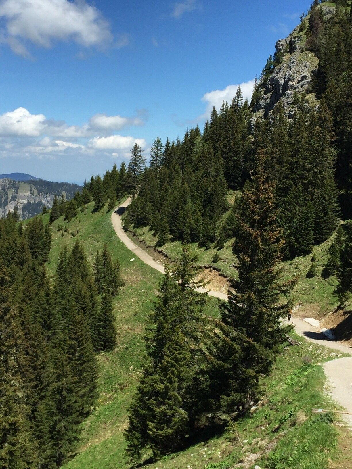
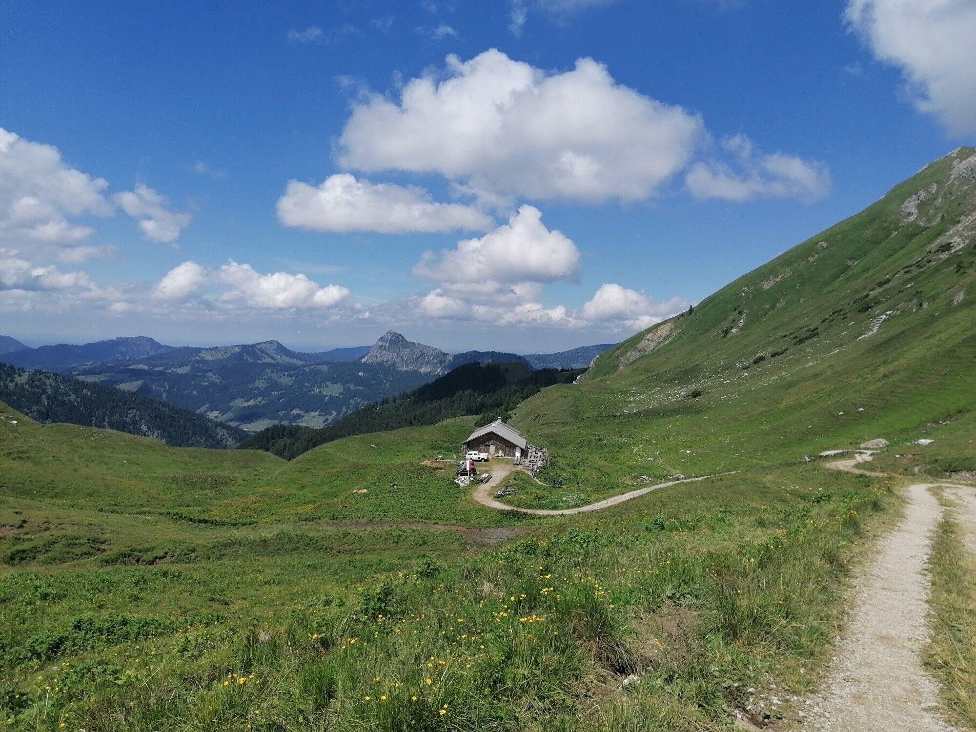
Directions:After the comfortable ascent by cable car to Neunerköpfle, we were already able to leave some altitude behind us. The path leads us below Neunerköpfle further south. On the left below lies the Strindenalm. The path is wonderful to hike. We pass the spot and shortly after come to a signpost. Here we follow it to the summit of the Sulzspitze. After the break at the summit, we continue hiking over the Gappenfeldalm back into the valley. Here we follow the path towards Tannheim. Due to a rockfall (May 2021), the previous path (past the gravel pit) had to be closed for safety reasons! A replacement path was created in a very short time - over the Gappenfeldbach bridge (signposted). Shortly before the bridge at Vilsalpsee road (about 80 meters after the gravel pit) we then follow the forest path to the right straight ahead to the starting point.
Tip:


