
Arrival by public transport
By train to Sonthofen, Pfronten/Ried or Reutte, then by bus to Tannheim.
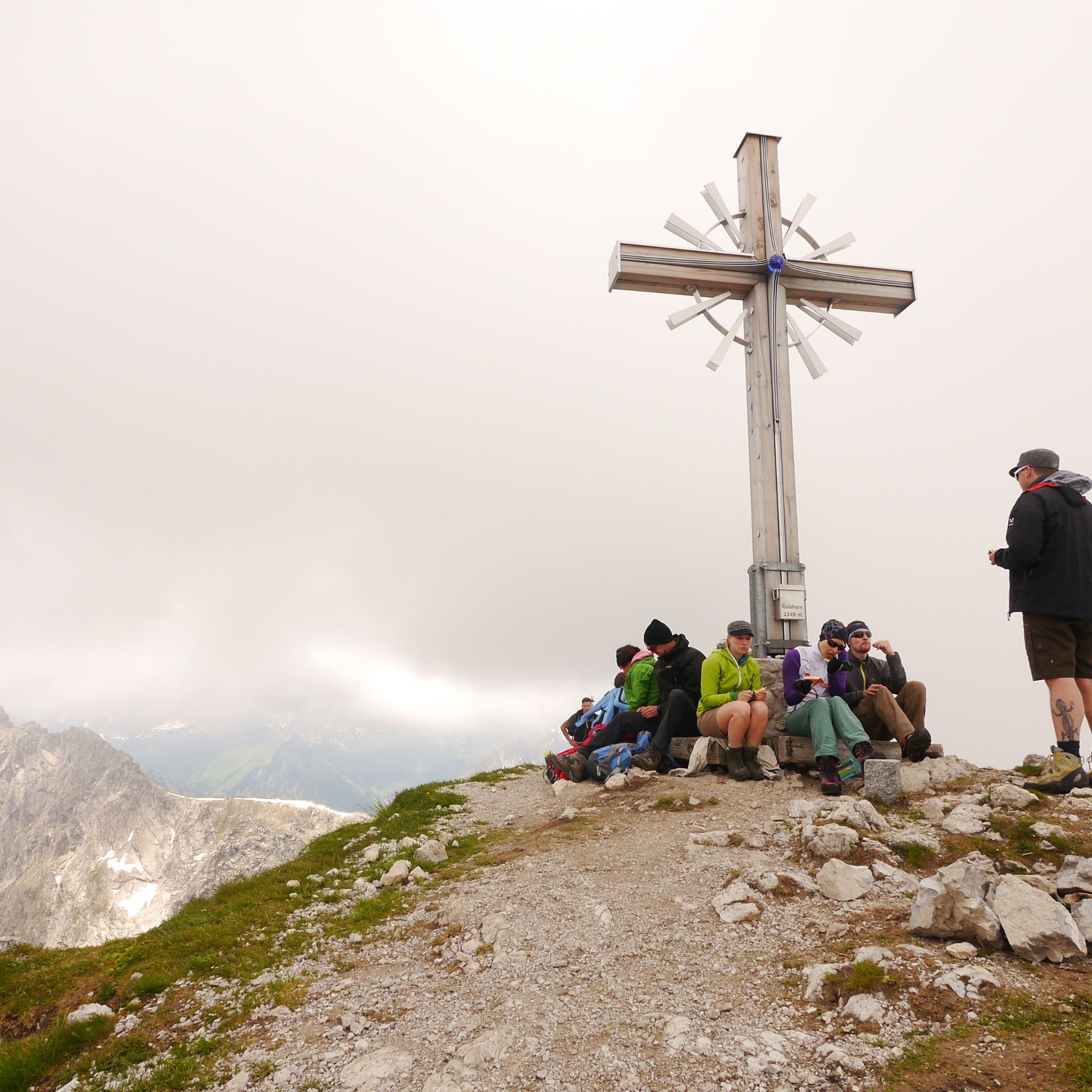
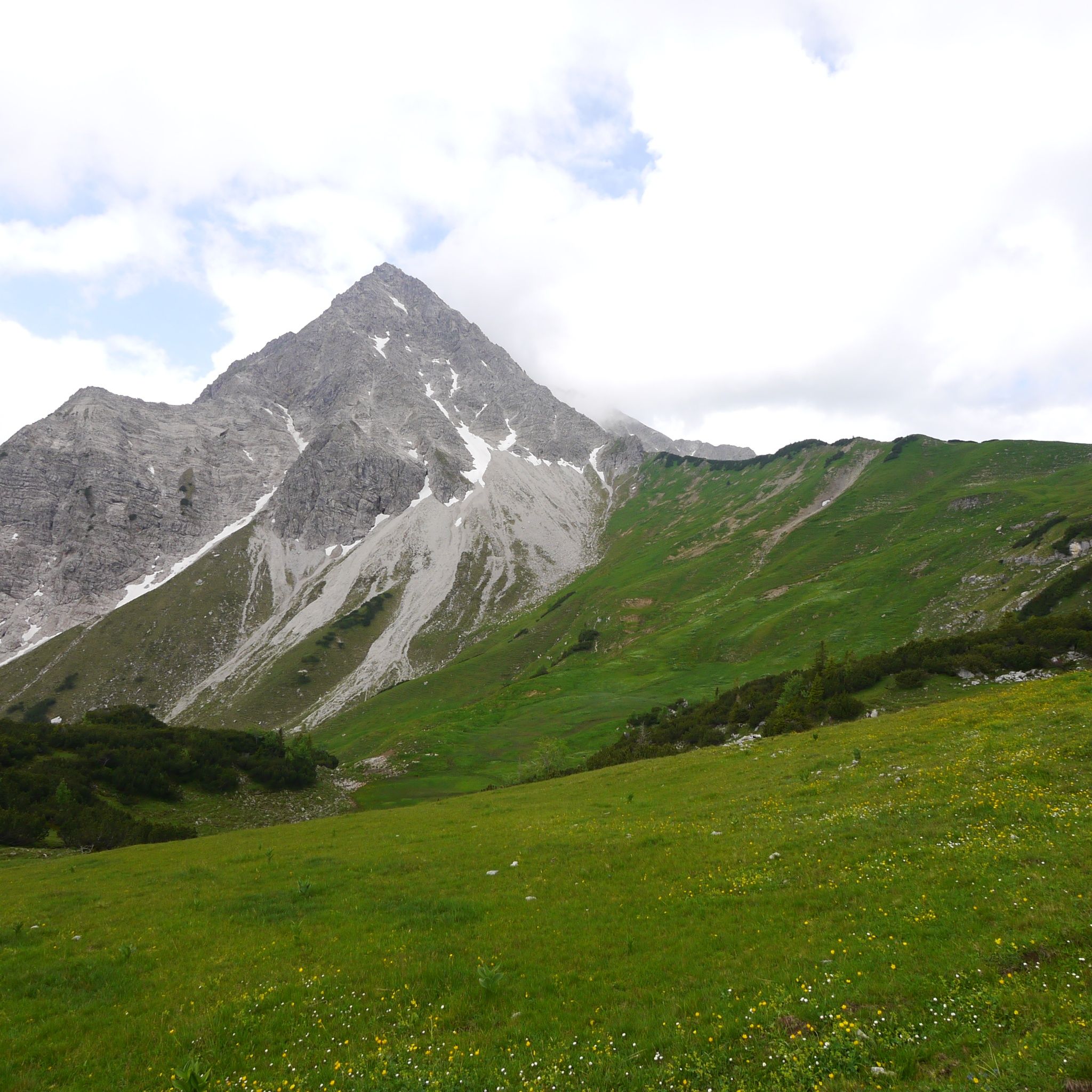
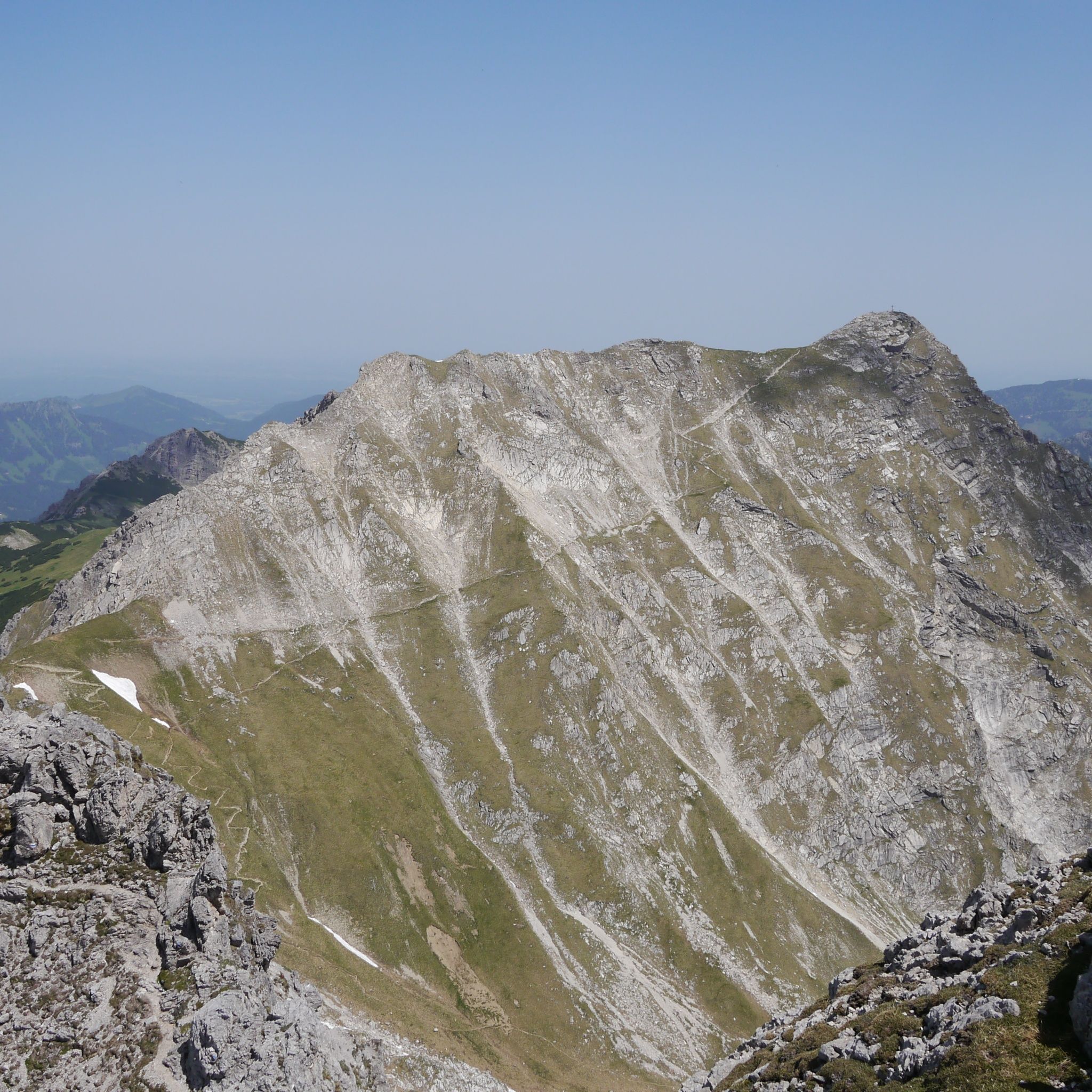
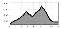
First-class summit hike to the highest mountain in the Tannheimer TalStarting from Zöblen-Katzensteig towards Pontental. Ascent to Zirleseck, about 2 1/2 hours. From Zirleseck first over grassy areas to Zerrerköpfle and then over rocks and ridges to the Gaishorn, about 1 1/2 hours. ATTENTION!! Only for experienced mountaineers, partial fixed ropes present, sure-footedness and freedom from vertigo required. Walking time to the summit about 2 1/2 hours.Descent options:a) Trail no. 58/59/60 to Feldalpe and Lower Rossalpe (no huts) and Tannheimb) Trail no. 58/59 to Älpele and Tannheimc) Trail no. 56/423/424 to Vilsalpsee and TannheimWalking time about 6 1/2 hoursStarting from Tannheim sports ground via Lower Rossalpe (not managed) to Feldalpe (no hut), about 2 hours. Further to Gaishorn, about 1 hour. Descent via Älpele (see above) or ascent about 2 1/2 hours. Walking time about 6 1/2 hours
General valid and usual rules of conduct! It should be noted that mountaineering involves an increased risk of accidents and injuries. Despite careful tour planning, there is always a basic risk. Tour preparation through endurance sports, appropriate technical training and further education as well as personal caution reduces the danger of accidents and risks. But please never forget that the weather in the mountains can change very quickly. Stay on the marked hiking trails.
Personal mountaineering equipment must be safe and serviceable and meet the respective technical standard. Every hiker is advised to inform themselves about the planned tours in alpine literature or locally.
High, dreamy, strenuous, sweat-inducing, unique and simply beautiful... These adjectives best describe the hike to the highest mountain of the Tannheimer Tal. A natural jewel in the Tannheimer Tal. Enjoy a unique view.
By train to Sonthofen, Pfronten/Ried or Reutte, then by bus to Tannheim.
On the A7 motorway at the "Oy-Mittelberg" exit, take the B310 towards Wertach and then to Oberjoch. There, follow signs for "Tannheimer Tal" B199, exit Tannheim, Neu Kienzen. From the Tyrolean side via Reutte on the B198 towards Lechtal to Weißenbach, over Gaichtpass along the B199 to Tannheim, exit Neu-Kienzen.
Tannheim West parking lot - paid


