
Opening hours:Today closed
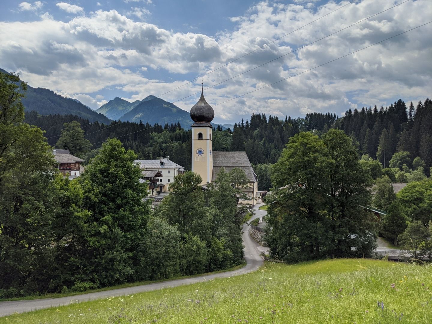
Place:Aurach bei Kitzbühel
:Restaurant, Tavern, Fine-dining restaurant
The high altitude hike in the middle of the Kitzbühel South Mountains
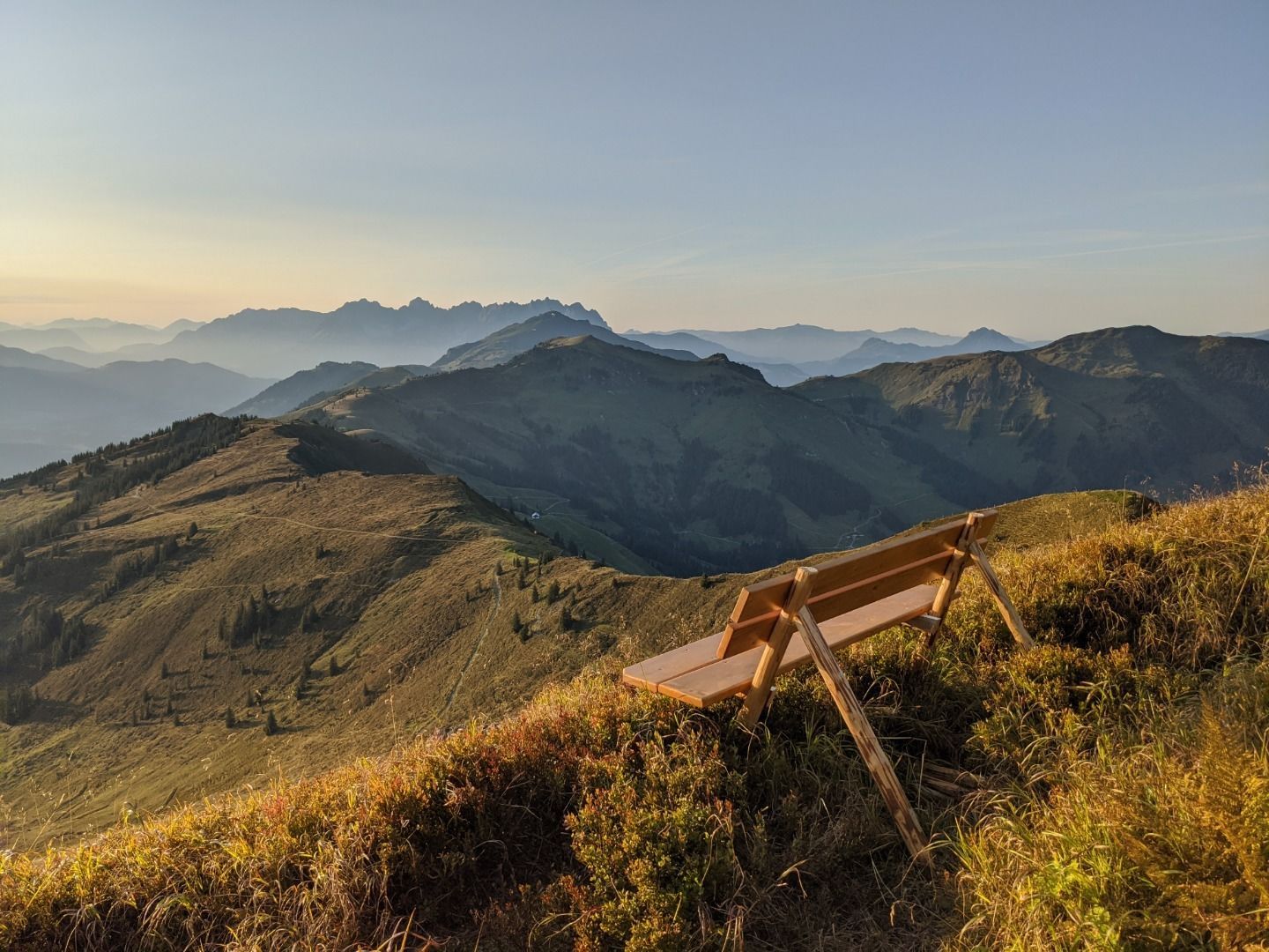
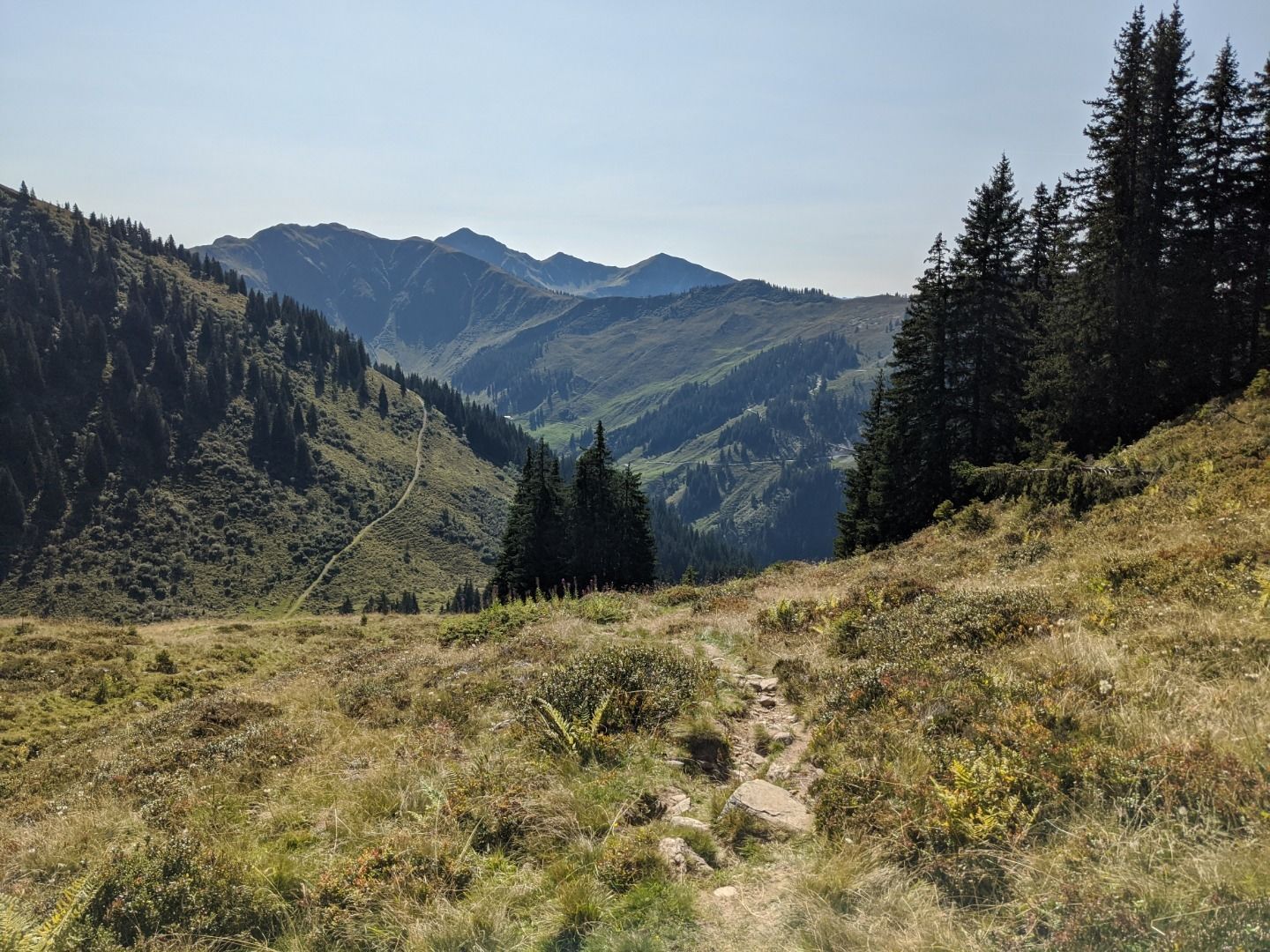
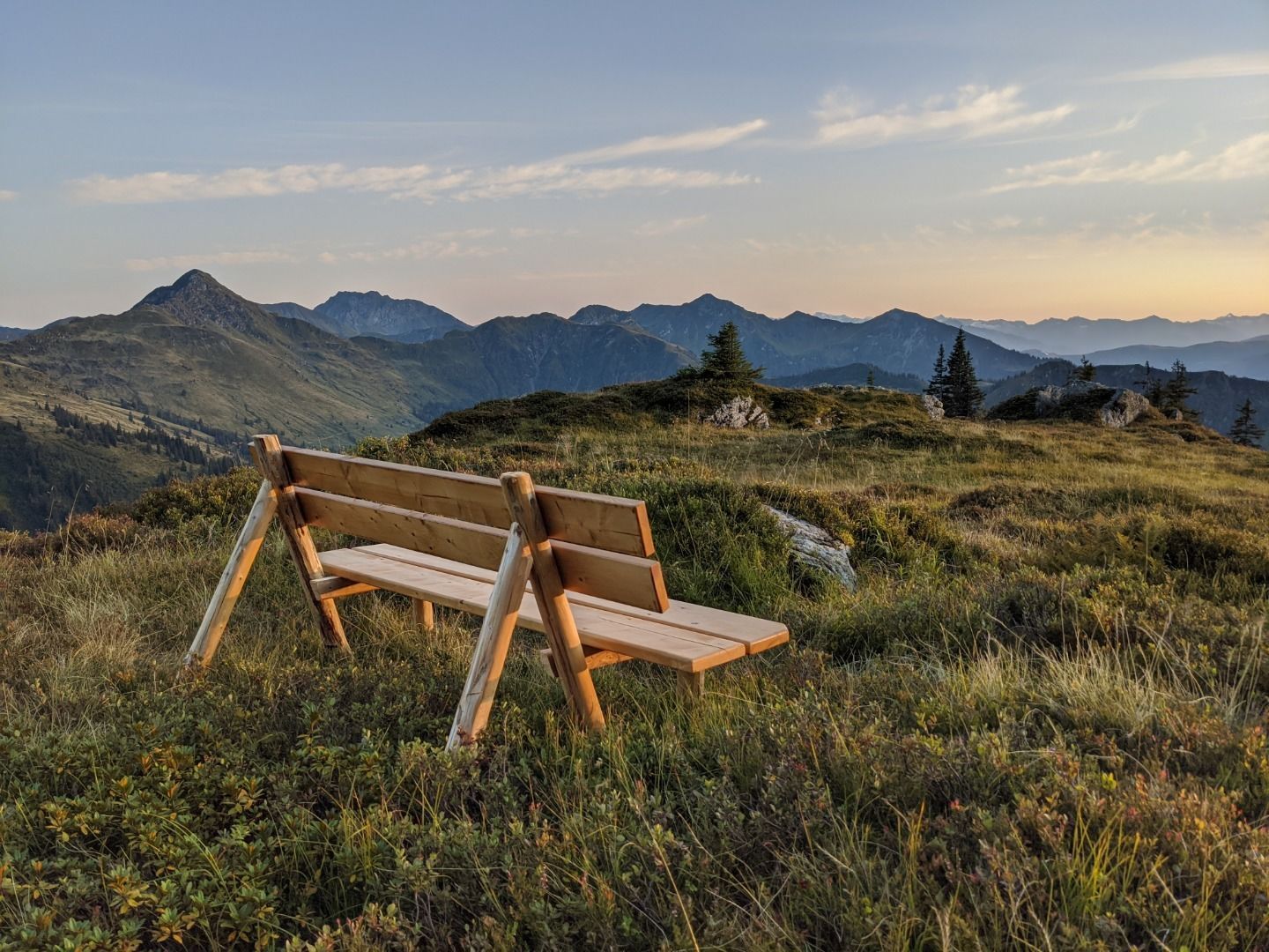
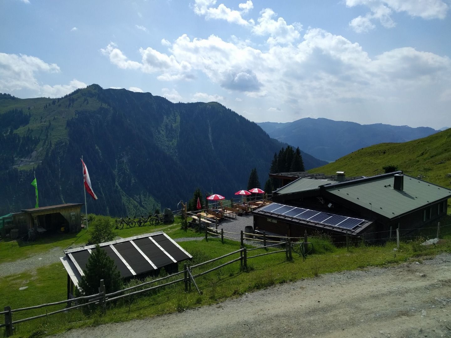
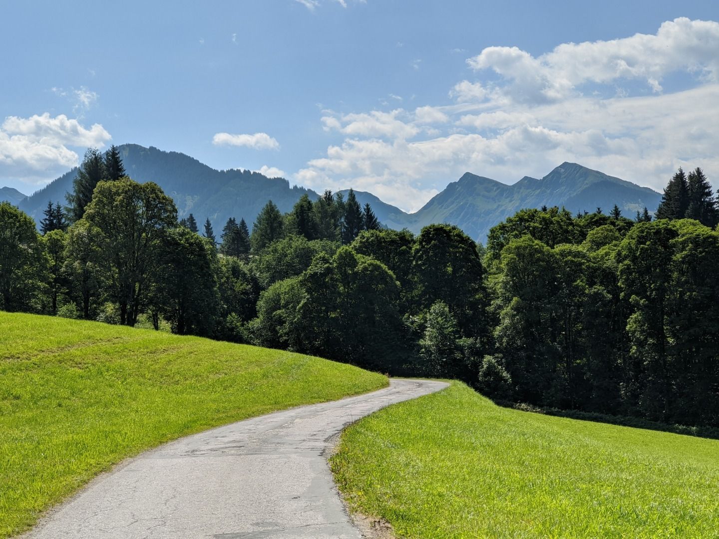
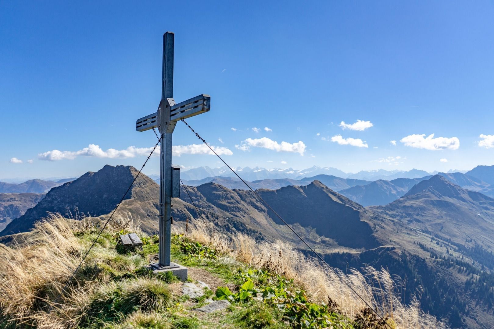
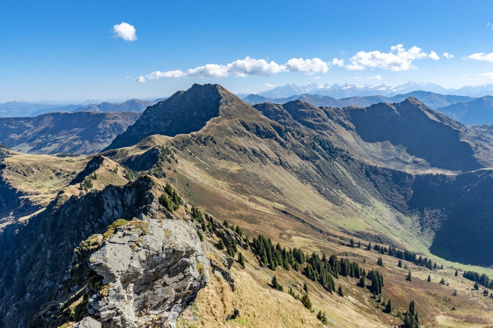

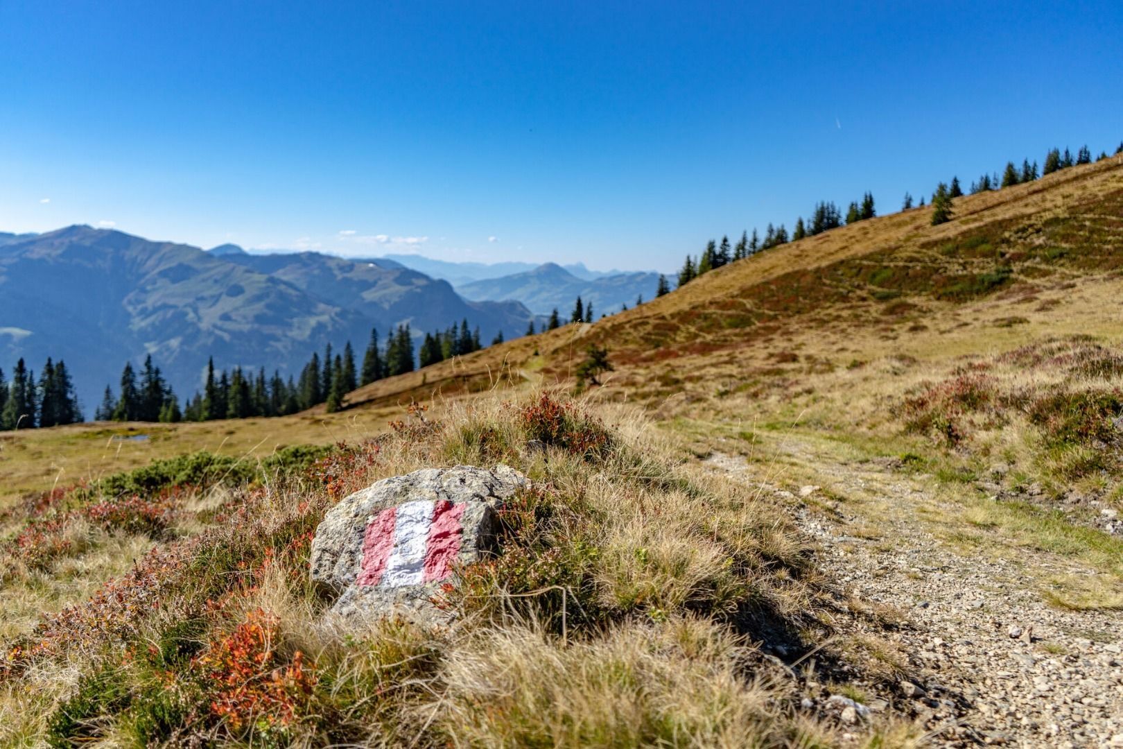
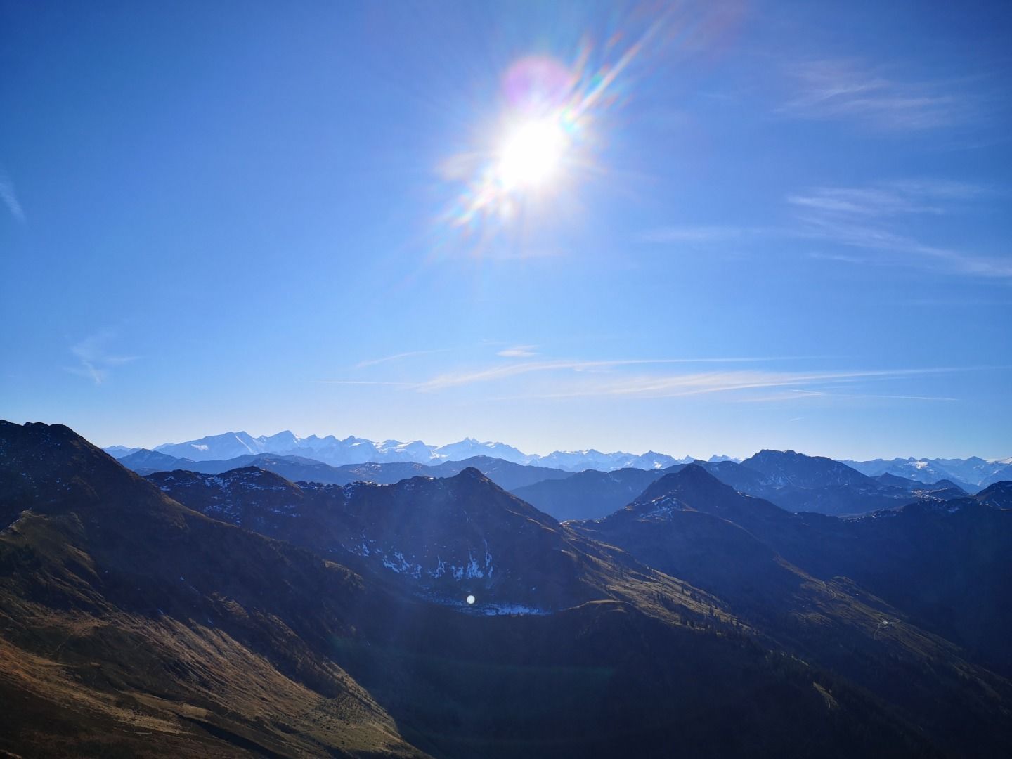
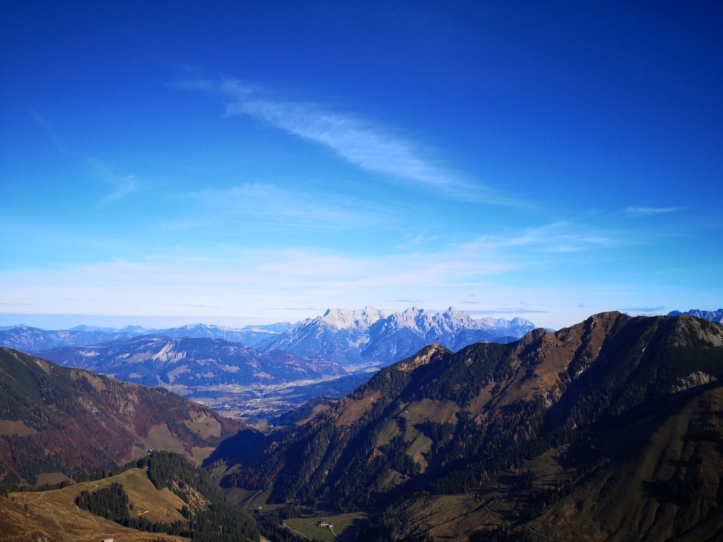
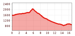
This hike starts from the Bichlalrn mountain lift station and follows the Panoramaweg trail over the Gaisbergsattel col to Gebrajoch. After reaching the Gebrajoch col, you start the final climb up to the summit of Gebra mountain. From the top you can admire the Gebrakapelle chapel in this former mining village. The descent follows the same route back until you reach the signpost and then branches off towards the Hochwildalm mountain hut. From the Hochwildalm, follow the signs to Oberaurach until you reach the Hallerwirt and then walk from there back to the Bichlalm lift.


.jpg")

.jpg")


