Mountain hikes Hochlechen circular route

Söll / Kitzbüheler Alpen
Difficulty ratings: medium
Route length: 13.5 km
Duration: 4:30 h

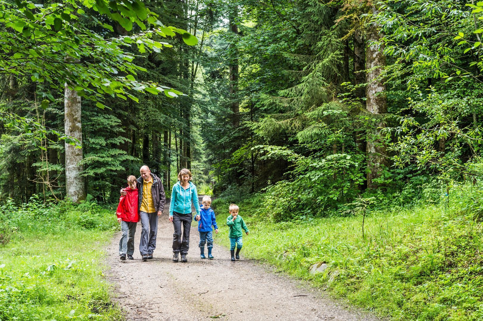
A leisurely up and down with views of the Wilder Kaiser.

Tour information

  • Requirement: medium
  • Length: 13.5 km
  • Duration: 4:30 h
  • Elevation uphill:470 hm
  • Elevation downhill:470 hm
Highest point1,060 m

Starting point

Hiking starting point Bergbahn, Söll (725 m)

Finishing point

Hiking starting point Bergbahn, Söll (725 m)
  • Fitness level 4 / 6
  • Technique 3 / 6

Features

  • Circular route

Best time of year

  • January
  • February
  • March
  • April
  • May
  • June
  • July
  • August
  • September
  • October
  • November
  • December

Equipment

Rucksack, sturdy hiking/mountaineering boots with anti-slip treaded soles, weather-appropriate hiking gear (breathable), a change of clothes, sun protection (sunglasses, sun cream, lip protection, headgear), waterproofs (rain jacket/poncho, pocket umbrella, rucksack protector), cold protection (hat, gloves), sufficient food and drink, hiking poles (height adjustable) if required, first aid kit incl. rescue blanket and bivouac sack, mobile phone with fully charged battery, headlamp, plastic bag for waste, hiking map, route description and information materials (GPX track), ID, insurance card, cash
Source: TVB Wilder Kaiser

Description

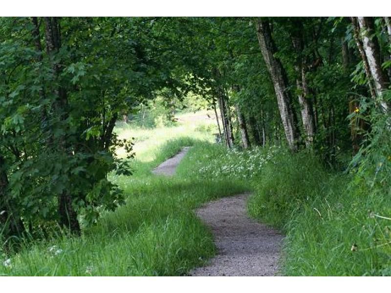
Starting from the valley station, follow the signs towards Scheffau via Schattseite until you reach the hamlet of Fallbichl. At the Heisbauern signpost, keep right and follow the road to Schadlbauern. Here, the path turns into a dirt track and a steeper path leads you to the Hochlechen inn. Enjoy the indescribable view of the Wilder Kaiser here. Return downhill along the road, past the Bavaria inn. At the crossroads, keep left towards Scheffau via the road. At the signpost Weber Wasserbasin, turn left, past the Granbach and Ed farms, through the hamlet of Fallbichl again and back to Söll along the familiar path.

Nearby huts and mountain restaurants

  • Hochlechen

    Opening hours:Open today
    Place: Söll
    : Alpine pasture / hut / mountain restaurant

Getting here

  • Arrival by public transport

    KaiserJet stop “Söll Gondelbahn Hexenwasser – Hohe Salve”.
    More information at: www.wilderkaiser.info

  • Parking

    Parking area cable car valley station, Söll (725 m) – free

More tours in the surrounding area

  • Hintere Goinger Halt summit tour

    Difficulty: difficult
    Length: 9.3 km Duration: 6:30 h Elevation uphill: 1,090 m
  • Hochalm hike

    Difficulty: medium
    Length: 19.6 km Duration: 7:00 h Elevation uphill: 1,140 m
  • Panoramic circuit Brandstadl–Hartkaiser

    Difficulty: easy
    Length: 6.0 km Duration: 1:50 h Elevation uphill: 170 m
Newsletter

The mountain is calling? So does our newsletter!

In our monthly newsletter we reveal the best holiday tips for Tyrol.