
Arrival by public transport
By train to Sonthofen, Pfronten/Ried or Reutte, then by bus to Nesselwängle.
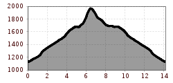
Beautiful summit tour to the Krinnenspitze
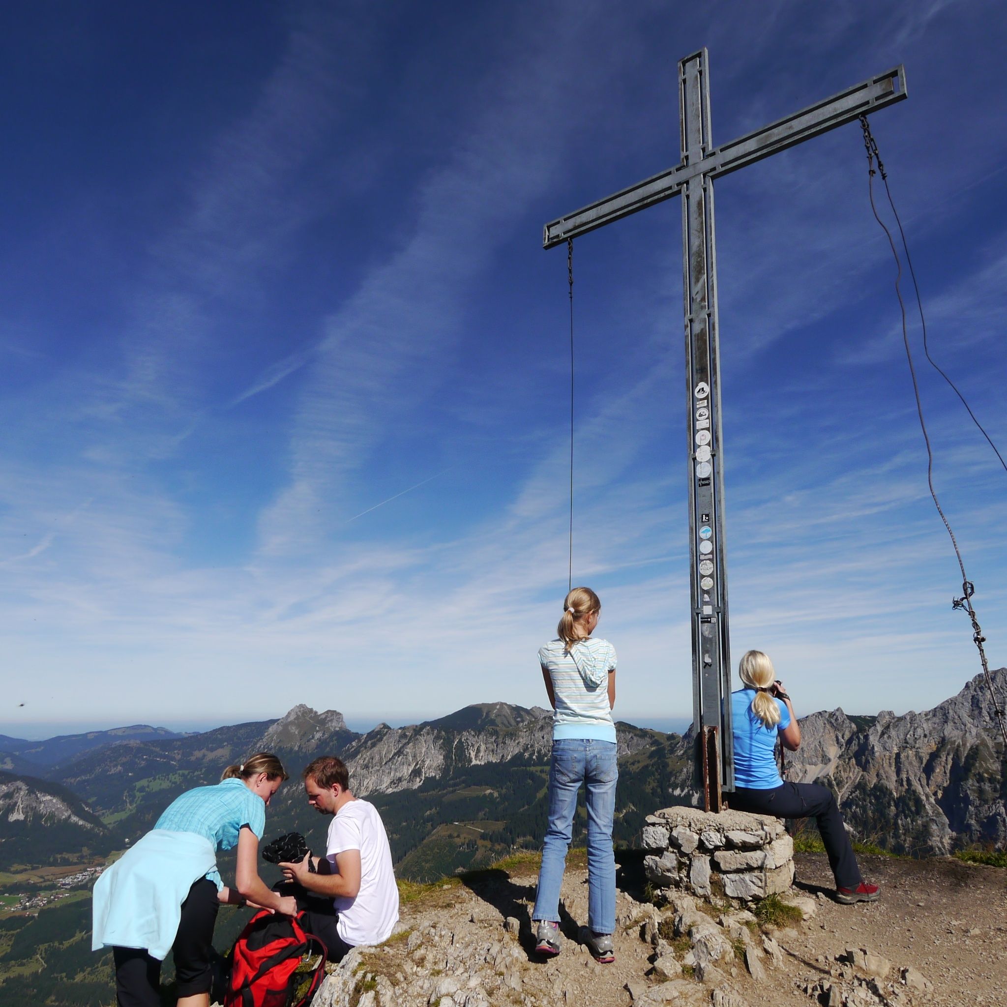
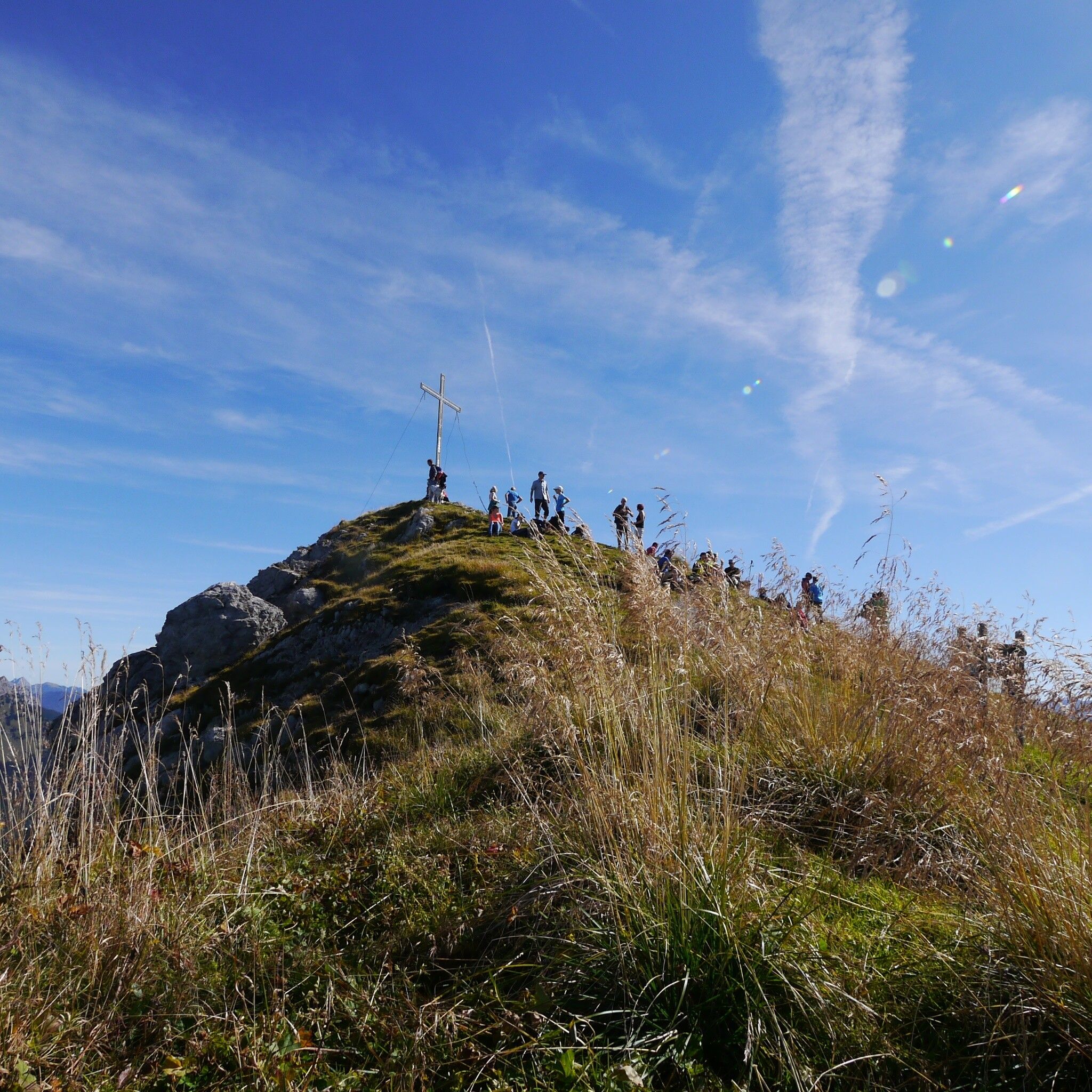
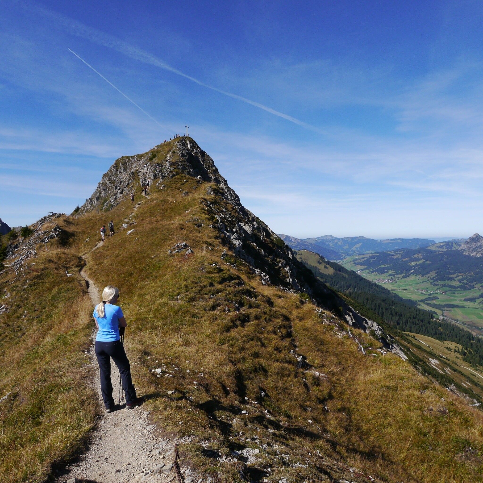
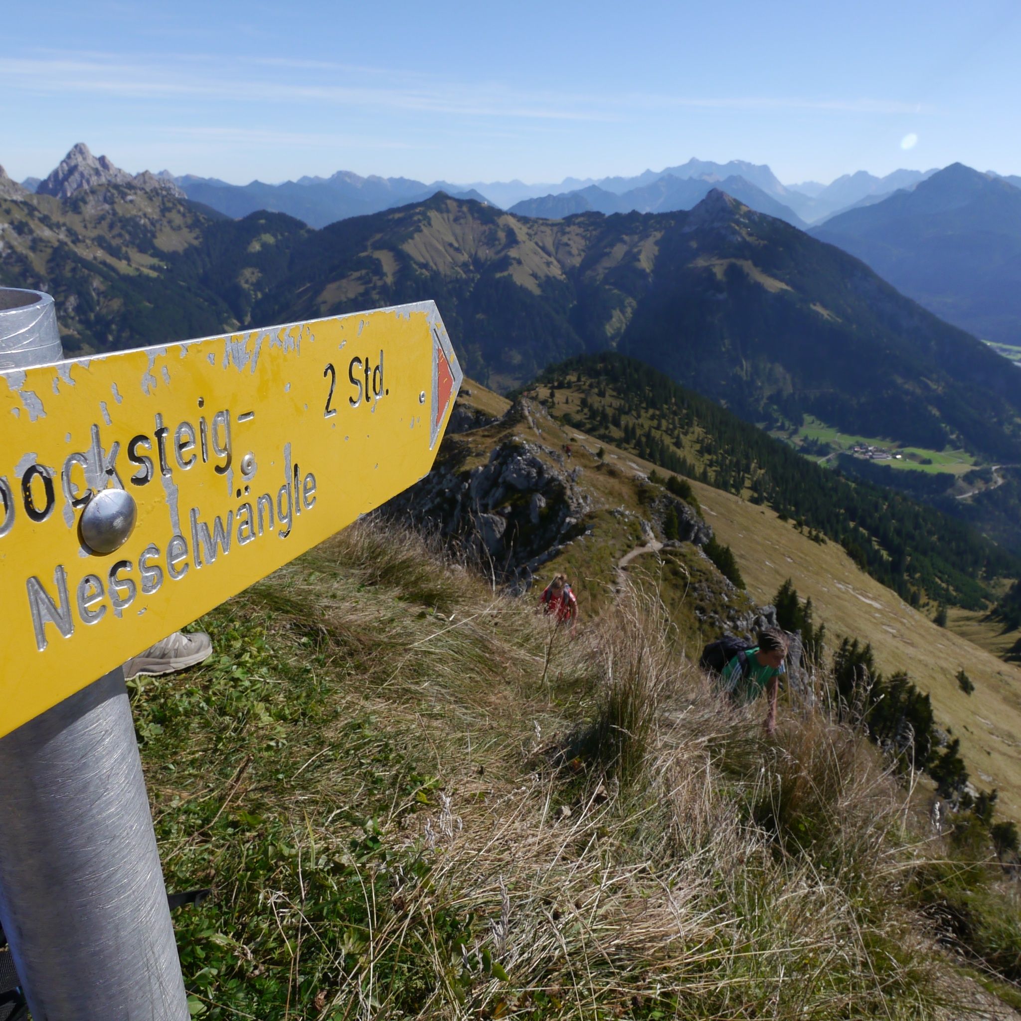
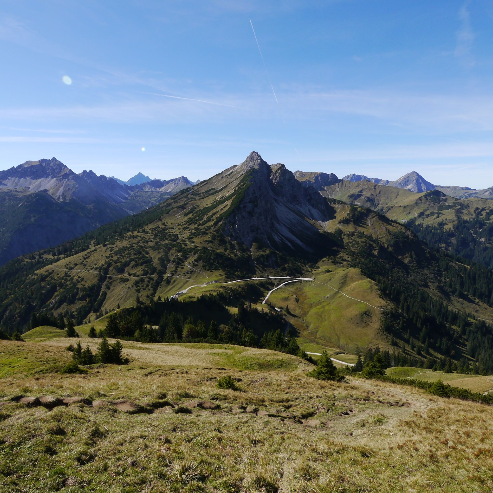
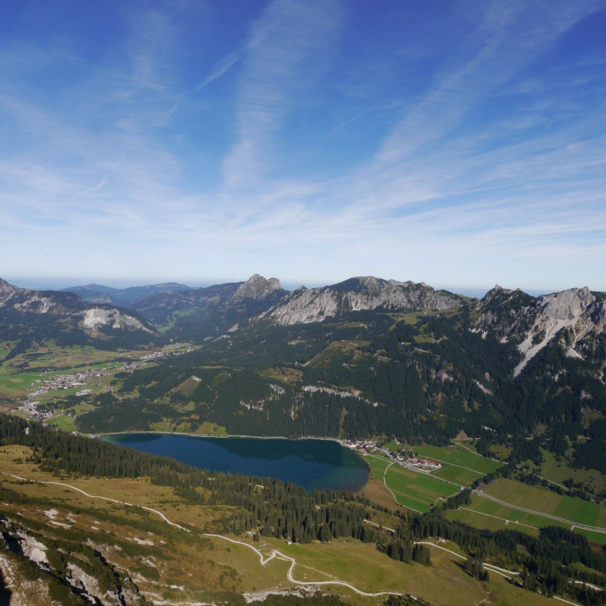
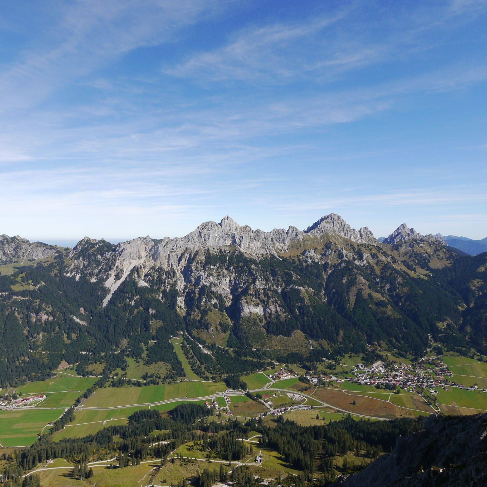
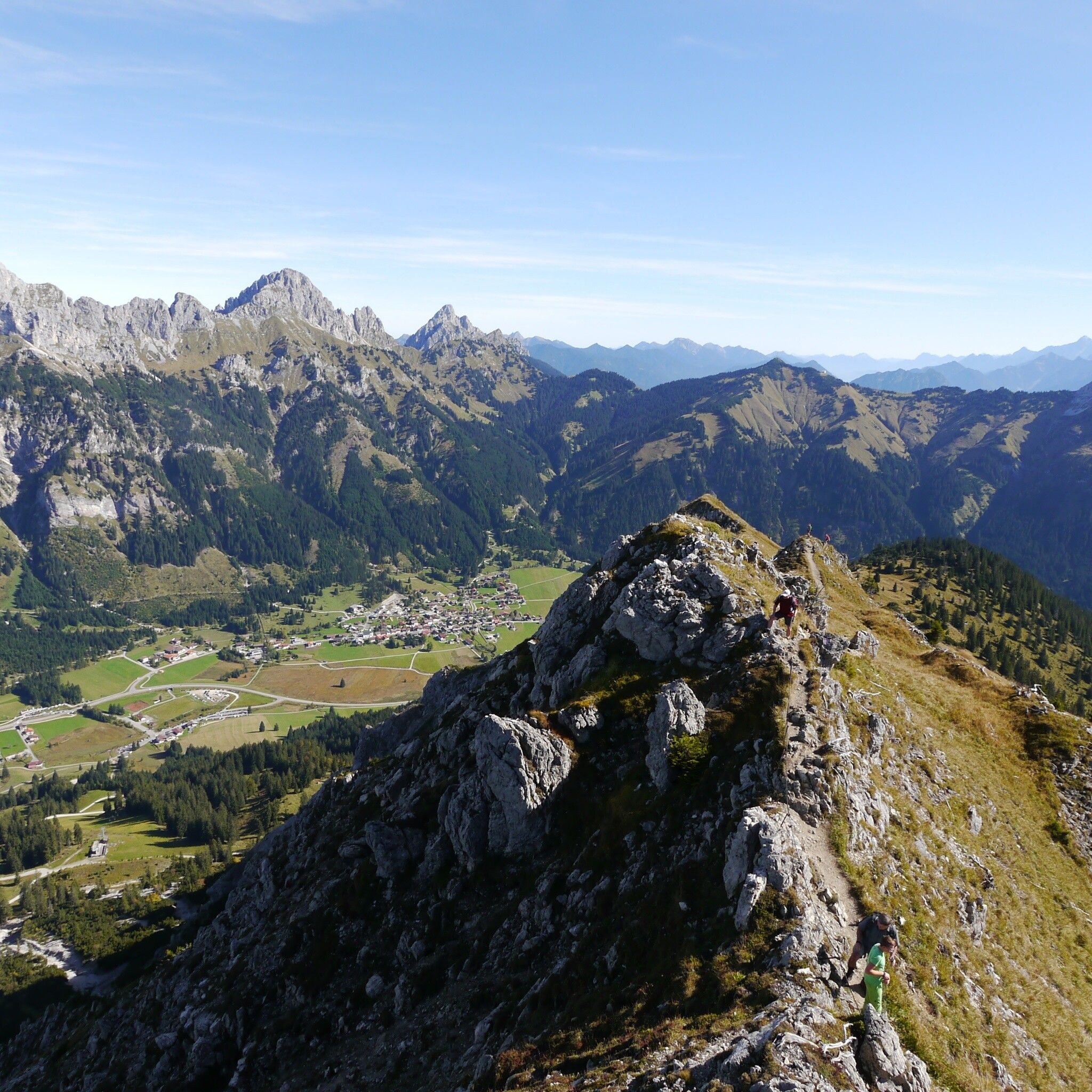
It should be noted that in mountaineering there is an increased risk of accidents and injuries. Despite careful route planning, a basic risk always remains. Tour preparation through endurance sports, appropriate technical training and further education as well as personal prudence reduces the danger of accidents and risks. However, please never forget that the weather in the mountains can change very quickly. Stay on the marked hiking trails.
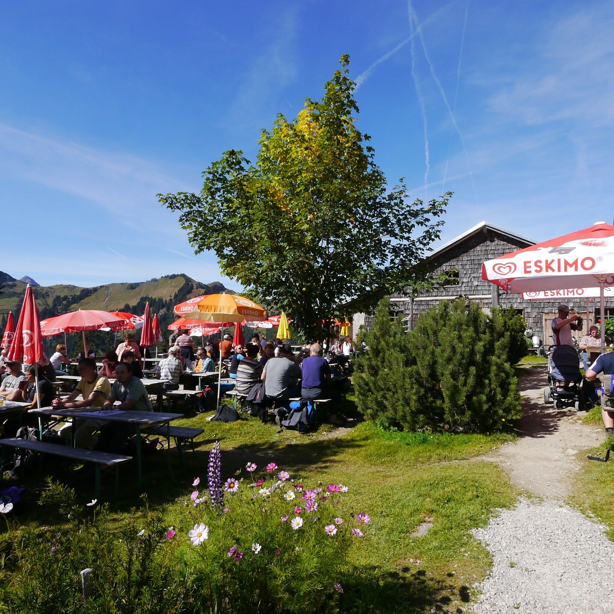
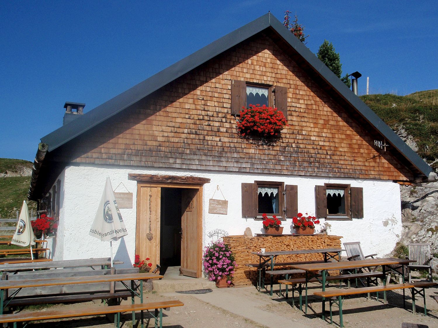
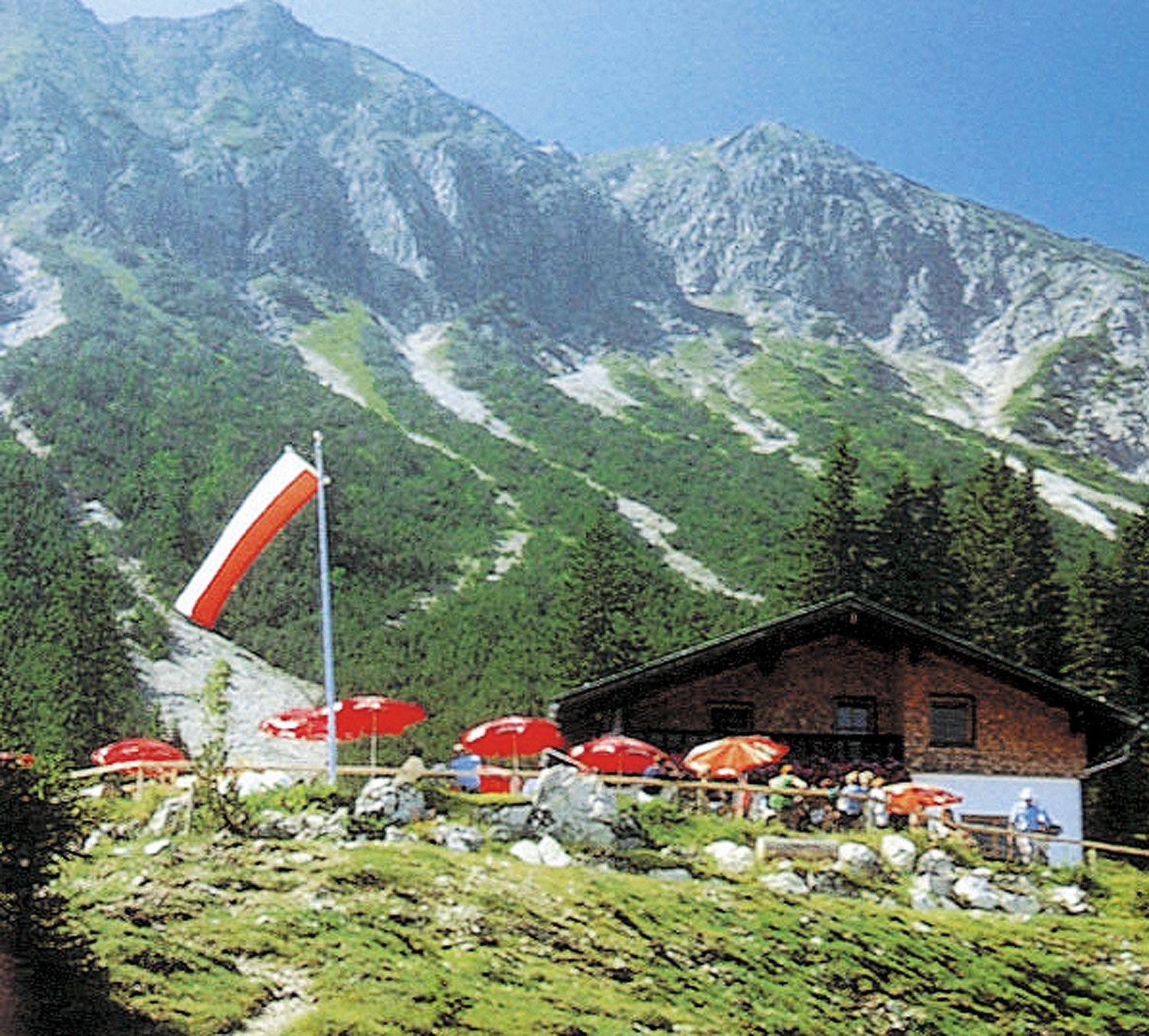
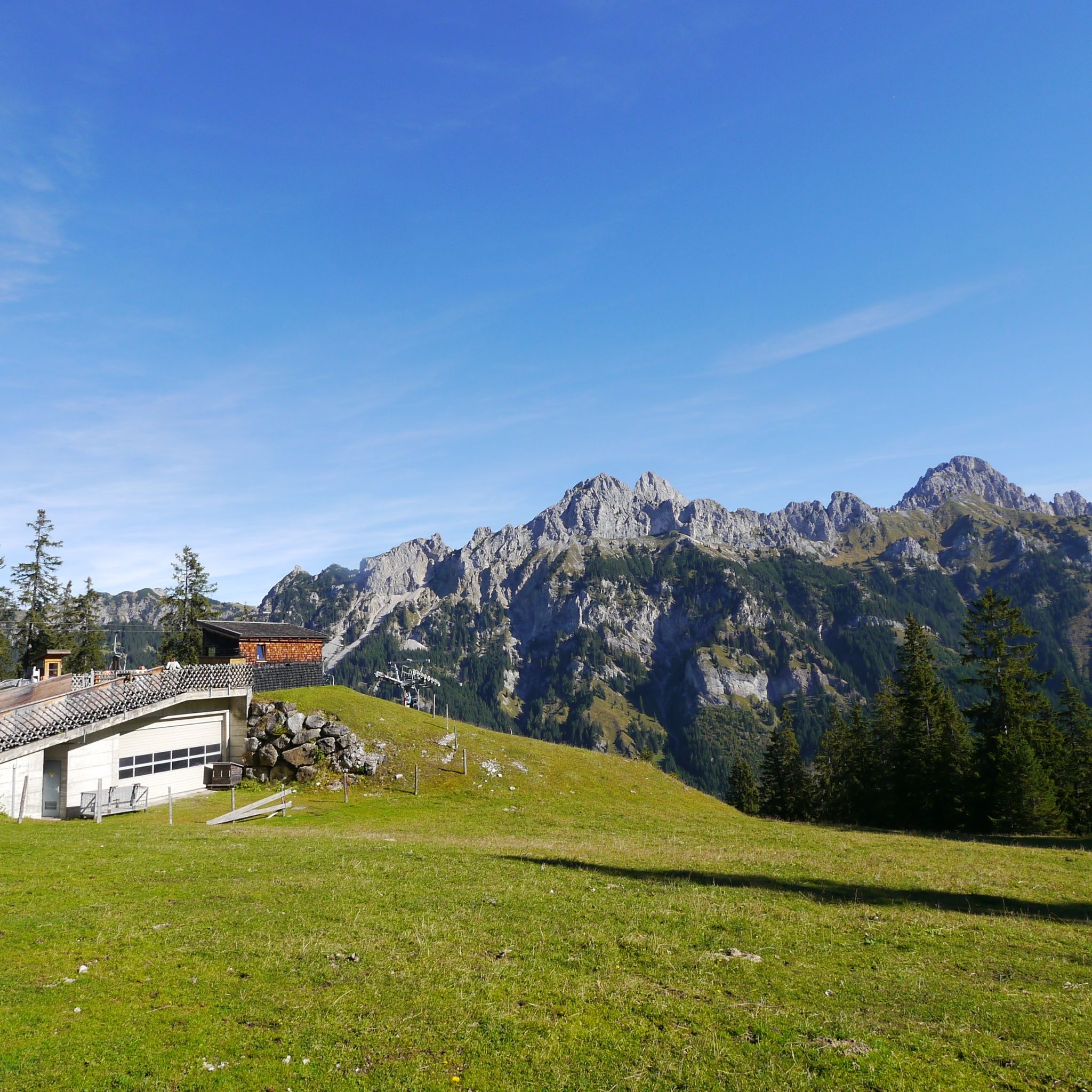
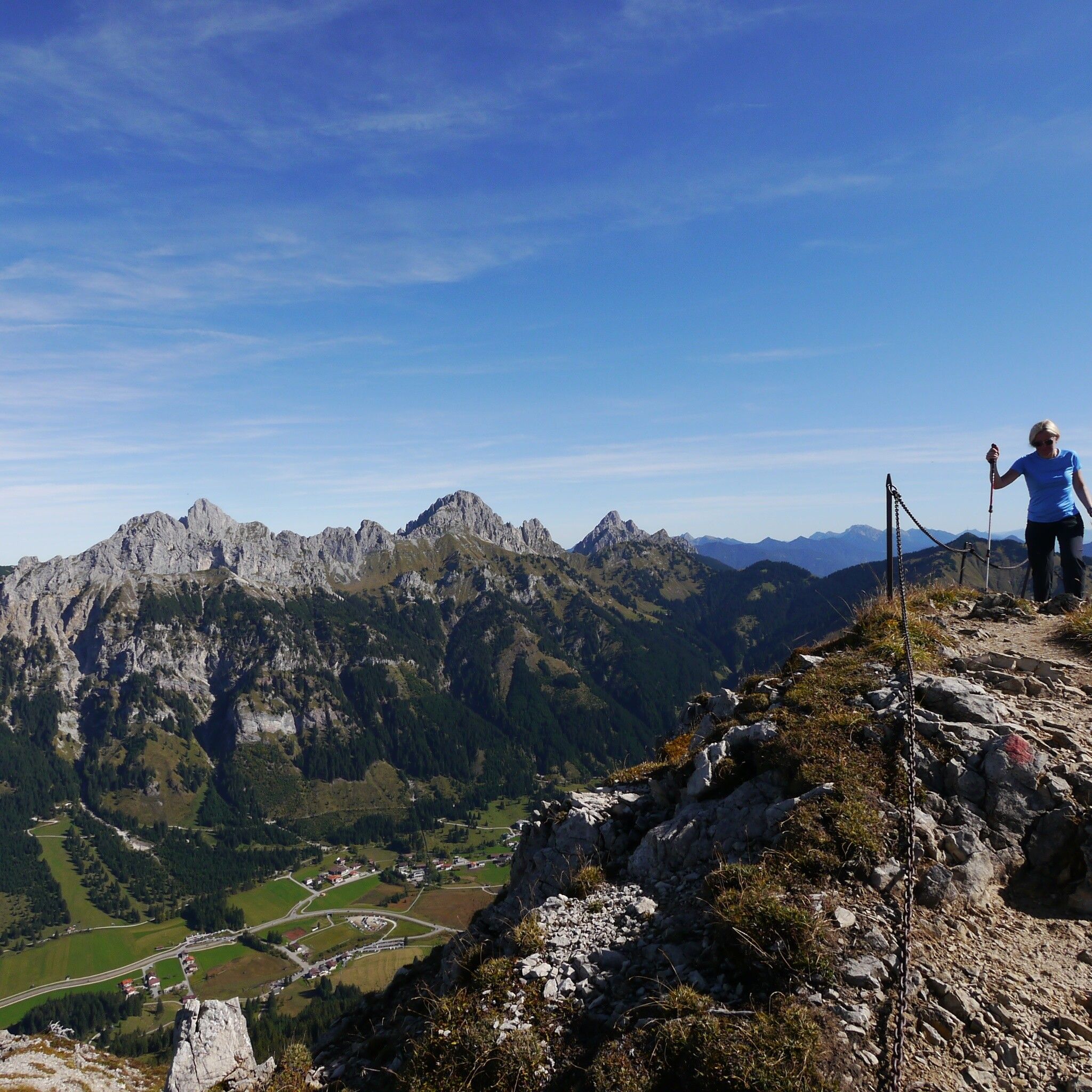
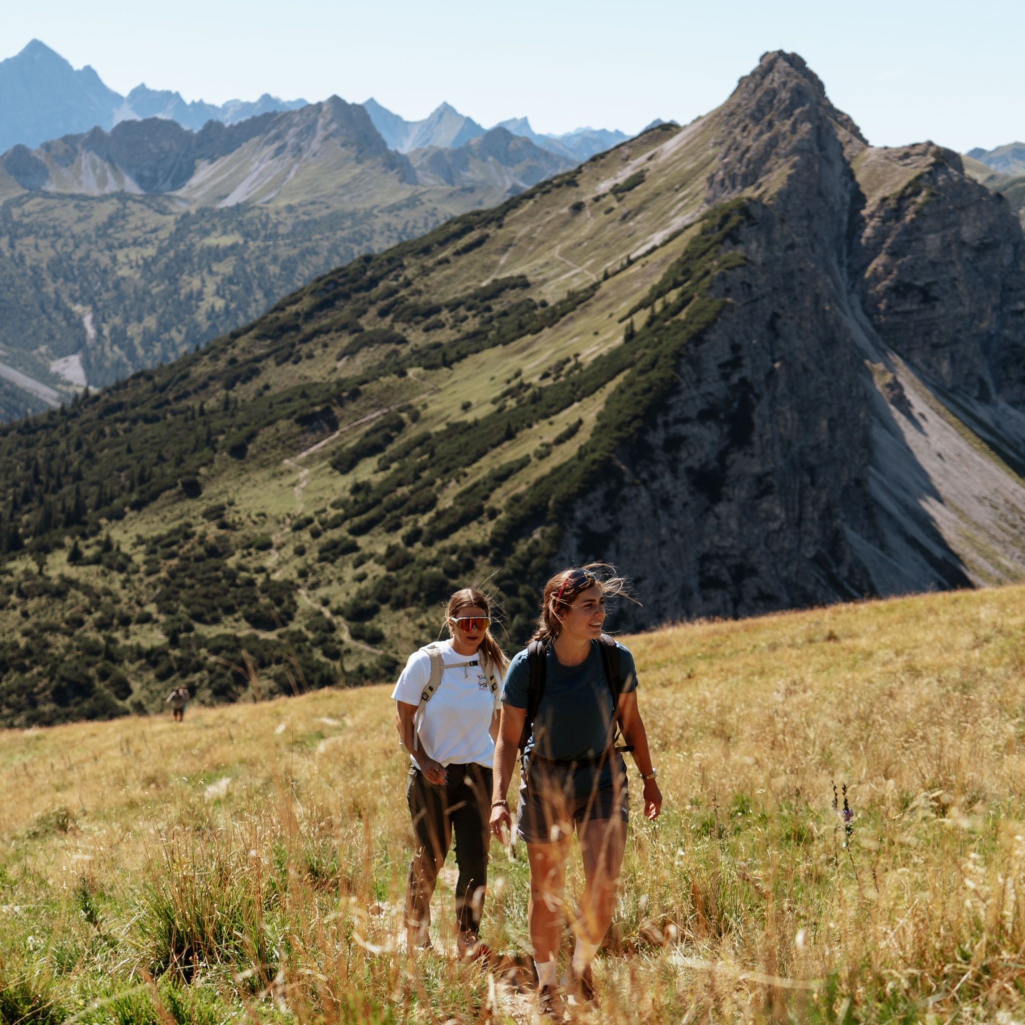
The personal mountaineering equipment must be safe and serviceable and meet the relevant technical standards. Every hiker is recommended to obtain information about the planned tours from specialist alpine literature or on site.The area around the Krinnenspitze conceals a wonderful nature. Especially alpine roses bloom here almost everywhere. From the peak of the Krinnenspitze you have a wonderful view over the whole Tannheimer Tal. After the sport a stop is a matter of course, there are three huts on the way. Enjoy the Tyrolean hospitality.
By train to Sonthofen, Pfronten/Ried or Reutte, then by bus to Nesselwängle.
On the motorway A7 at the exit "Oy-Mittelberg" on the B310 towards Wertach and to Oberjoch. There follow the signposting "Tannheimer Tal" B199, exit Nesselwängle.From the Tyrolean side via Reutte on the B198 towards Lechtal until Weißenbach, over the Gaichtpass along the B199 until exit Nesselwängle.
Lift parking lot in Nesselwängle - parking fee


