
Opening hours:Today closed
Place:
Kelchsau
:
Restaurant, Alpine pasture / hut / mountain restaurant
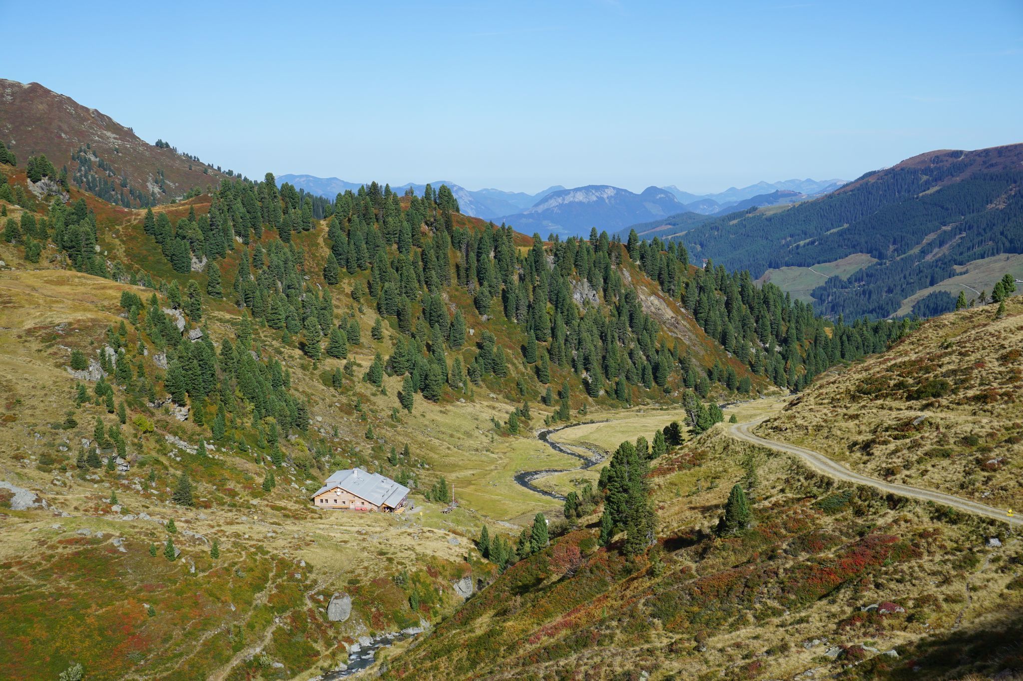
Neue Bamberger Hütte past Gasthof Wegscheid
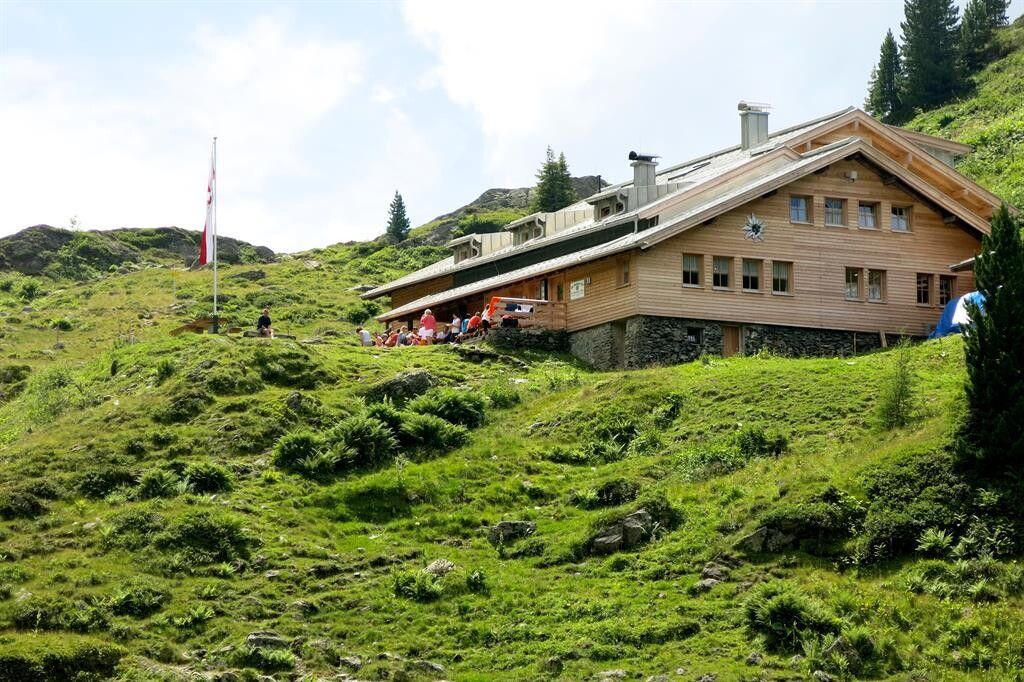
The starting point of the hike is the parking lot at Gasthof Wegscheid in Kurzen Grund.
From there, follow the signs No. 718 in the direction of the Neue Bamberger Hütte. Along the forest path you reach the alpine pasture area and finally also the destination of this tour.
You return to the starting point via the same path.
bus: Steinerbrücke in Kelchsau
Guest card = travel ticket - bus & train included!
Online timetables:
www.vvt.at
www.oebb.at
free parking at the toll station in Kelchsau or directly at Gasthof Wegscheid


