Mountain hikes Pontental - Älpele

Zöblen / Allgäu Alps
Difficulty ratings: medium
Route length: 11.1 km
Duration: 5:30 h

A wonderful hike through the beautiful Pontental over the Zirleseck to the Älpele. A magnificent summit world awaits you.

Tour information

  • Requirement: medium
  • Length: 11.1 km
  • Duration: 5:30 h
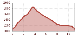
  • Elevation uphill:800 hm
  • Elevation downhill:800 hm
Highest point1,872 m

Starting point

Lift car park in Zöblen

Finishing point

Tannheim
  • Fitness level 4 / 6

Best time of year

  • January
  • February
  • March
  • April
  • May
  • June
  • July
  • August
  • September
  • October
  • November
  • December

Equipment

It should be noted that mountain sports can involve an increased risk of accidents and injuries. Despite careful route planning, a base risk always remains. Preparing for tours through endurance training, appropriate technical training and education, as well as personal caution reduces the risk of accidents and dangers. But please never forget that the weather in the mountains can change very quickly. Stay on the marked hiking trails. Personal mountain sports equipment must be safe, functional, and meet the current technical standards. Every hiker is recommended to inform themselves about the planned routes in alpine literature or locally.
Source: Tannheimer Tal

Description

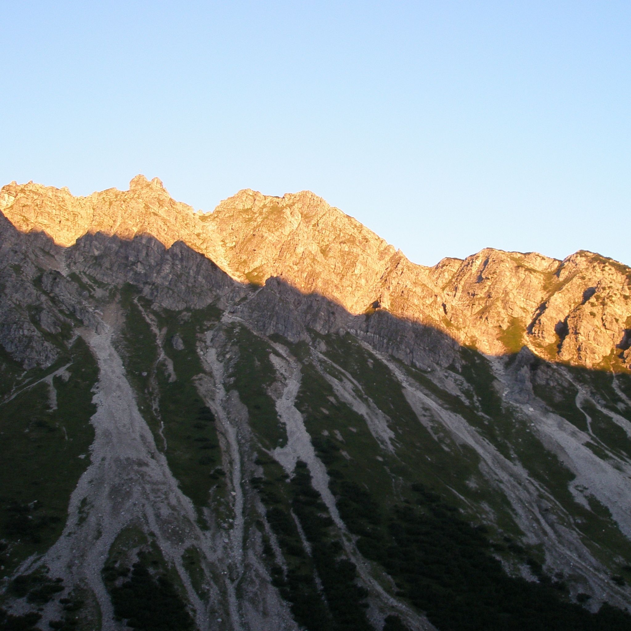
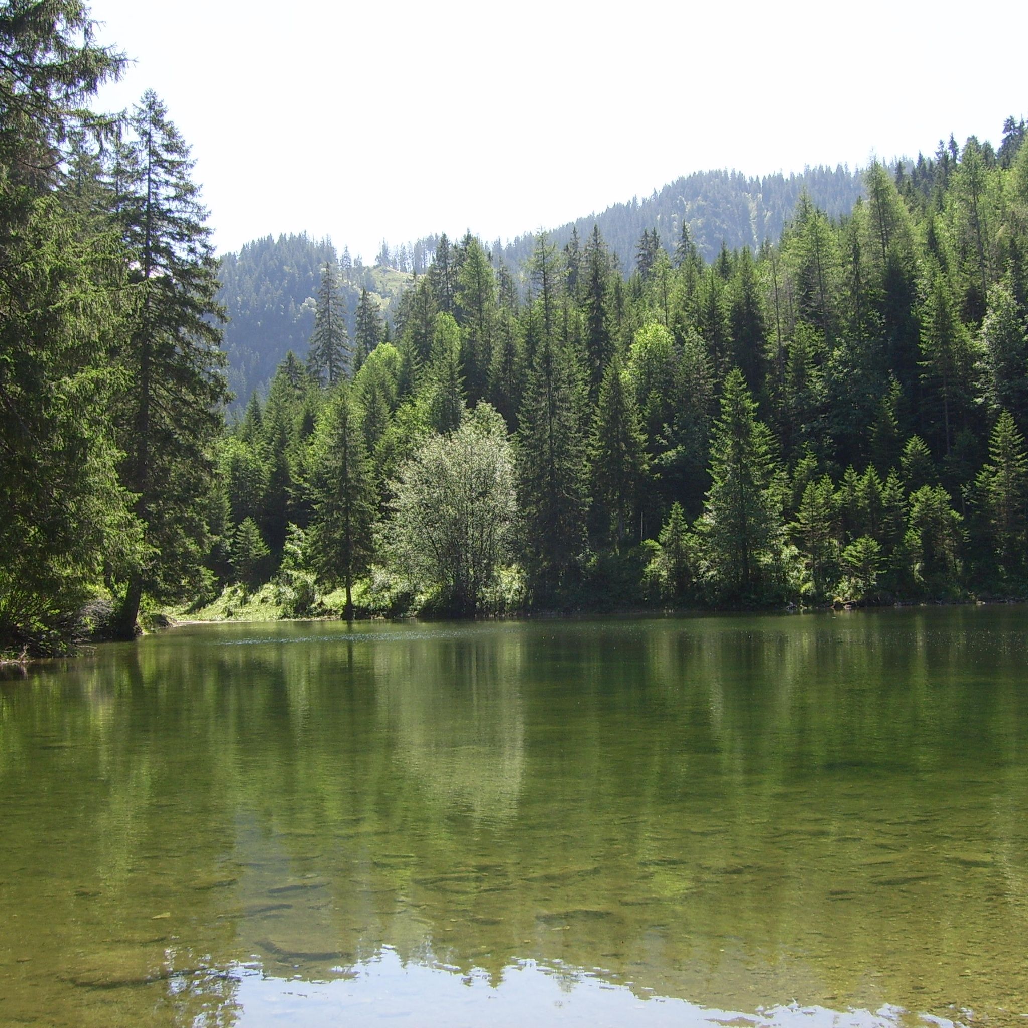
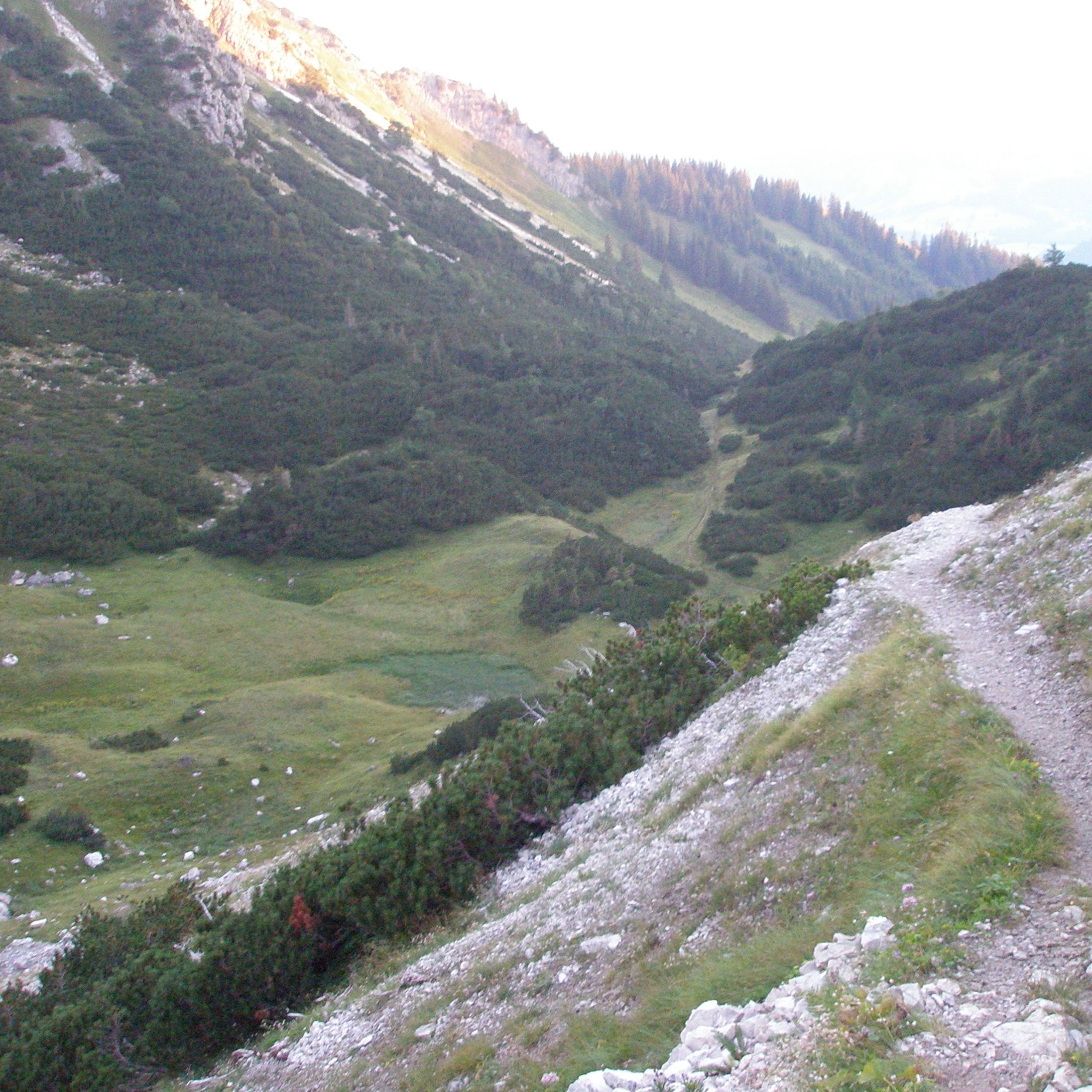
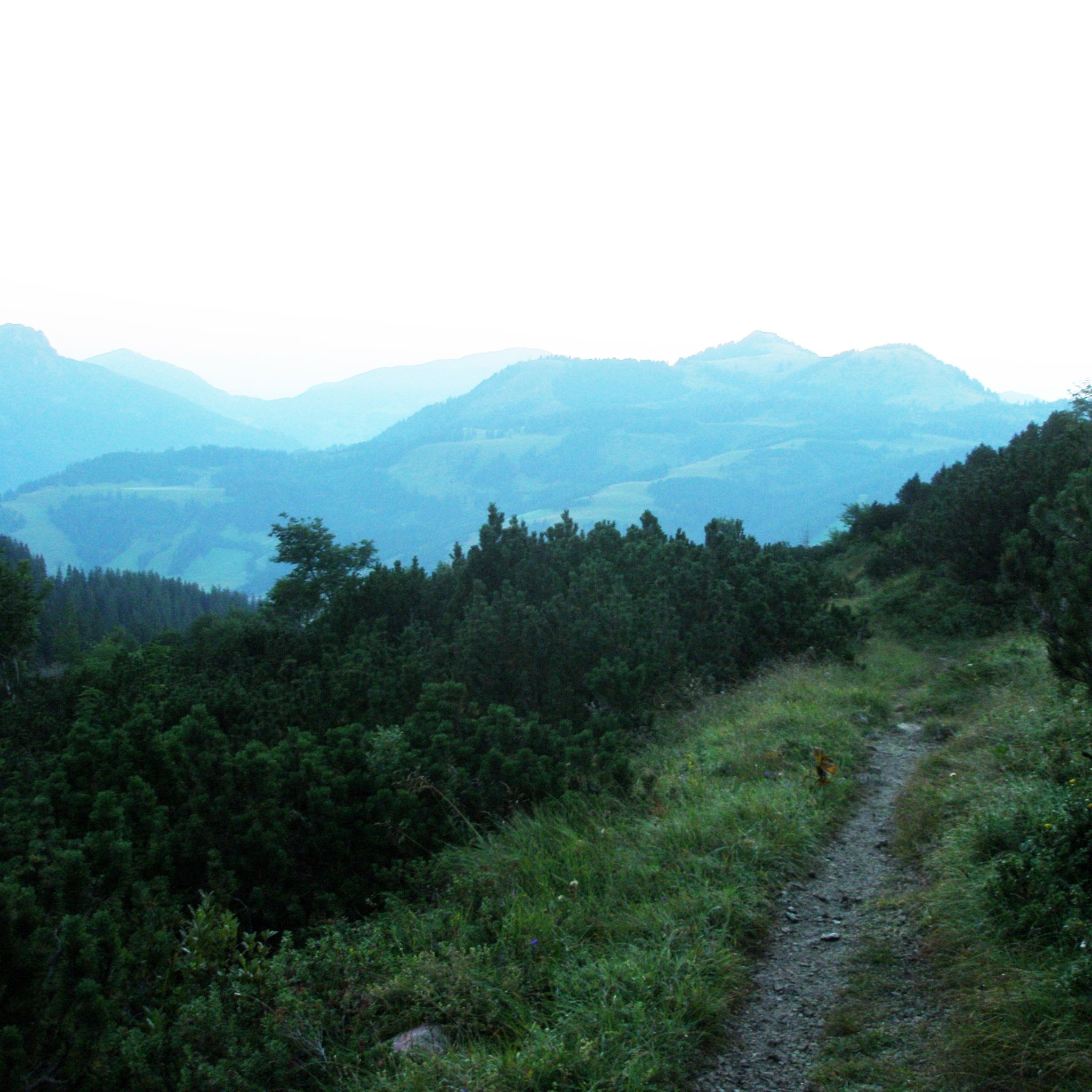
From the lift car park in Zöblen, the path climbs almost parallel to the ski slope into the Pontental. This beautiful valley between the Rohnenspitze and Ponten even has a small lake at the back end of the valley. The end of the Pontental is a slope up to the Zirleseck. From there, you can see far into the Alps and also into the Allgäu. After a few meters towards the Geißhorn, which stands impressively before us, we go left, downhill to the Älpele, a managed alpine hut, and continue downwards out of the Älpeletal. On the way back, we make a detour to the Höfersee, a small gem in this landscape. Via a high path with great views, we reach Zöblen again.


Getting here

  • Arrival by public transport

    By train to Sonthofen, Pfronten/Ried, or Reutte, then by bus to Zöblen.

  • Parking

    On the A7 motorway at the "Oy-Mittelberg" exit take the B310 towards Wertach and then to Oberjoch. There, follow the signs "Tannheimer Tal" B199, exit Zöblen, lift car park Zöblen.From the Tyrol side via Reutte on the B198 towards Lechtal to Weißenbach, over the Gaichtpass along the B199 to the exit Zöblen, lift car park Zöblen.

    Lift car park in Zöblen

Weather

Today

moderate rain
11°C/5°C
90%6.7l5 km/h

Sun

cloudy
11°C/4°C
45%0.3l5 km/h

Mon

mainly clear
13°C/2°C
10%0l5 km/h
Go to weather forecast
Newsletter

The mountain is calling? So does our newsletter!

In our monthly newsletter we reveal the best holiday tips for Tyrol.