Mountain hikes Riffel - Höhenweg

St. Christoph am Arlberg / Verwall
Difficulty ratings: medium
Route length: 11.4 km
Duration: 4:00 h

Riffel - Höhenweg

Tour information

  • Requirement: medium
  • Length: 11.4 km
  • Duration: 4:00 h
  • Elevation uphill:384 hm
Highest point2,238 m

Starting point

Rendl mountain station

Finishing point

Arlberg WellCom

Best time of year

  • January
  • February
  • March
  • April
  • May
  • June
  • July
  • August
  • September
  • October
  • November
  • December

Trail condition

Panorama hike

Equipment

Good walking boots, poles and drinks/snacks, rain jacket, sun protection
Source: St. Anton am Arlberg (Region)

Description

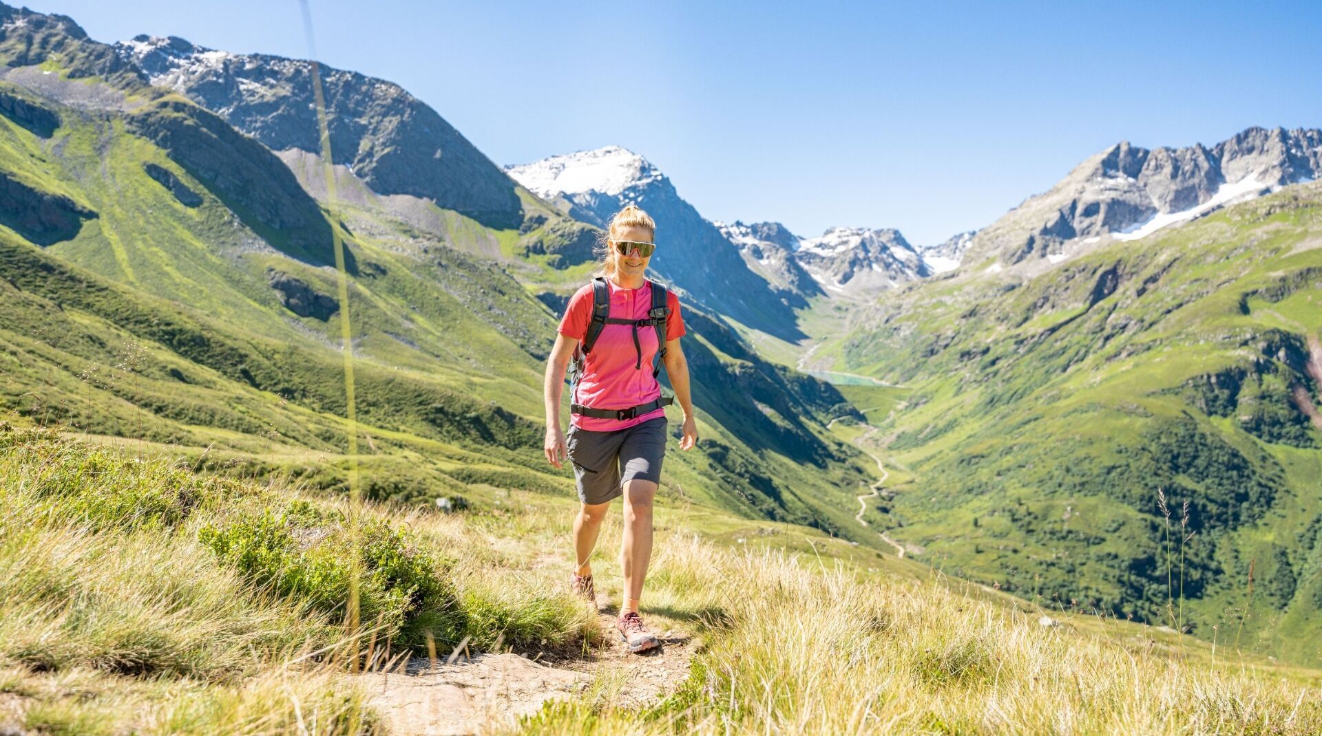
Take the Rendlbahn lift up to the mountain station. Next, head south in the direction of Riffelbahn I, following
the trail markers. The trail leads to the Rossfallalpe. First take the Moostal road and then head back to St. Anton via the Moostalwanderweg (Trail 32). Variation: From the Rossfallalpe, you have the option to take the Moostal road up in the direction of Kartellsee or climb up to the Darmstädter Hütte.

Nearby huts and mountain restaurants

More tours in the surrounding area

Newsletter

The mountain is calling? So does our newsletter!

In our monthly newsletter we reveal the best holiday tips for Tyrol.