
Opening hours:Open today
Place:
Fiss
:
Alpine pasture / hut / mountain restaurant
Highest summit in the Urgtal valley, wonderful views, great mountain tour in splendid landscape, not many people. The shortest ascent is on the Spinnseensteig path to the Oberen Spinnsee lake, the Spinnscharte and then via the north ridge to the summit.
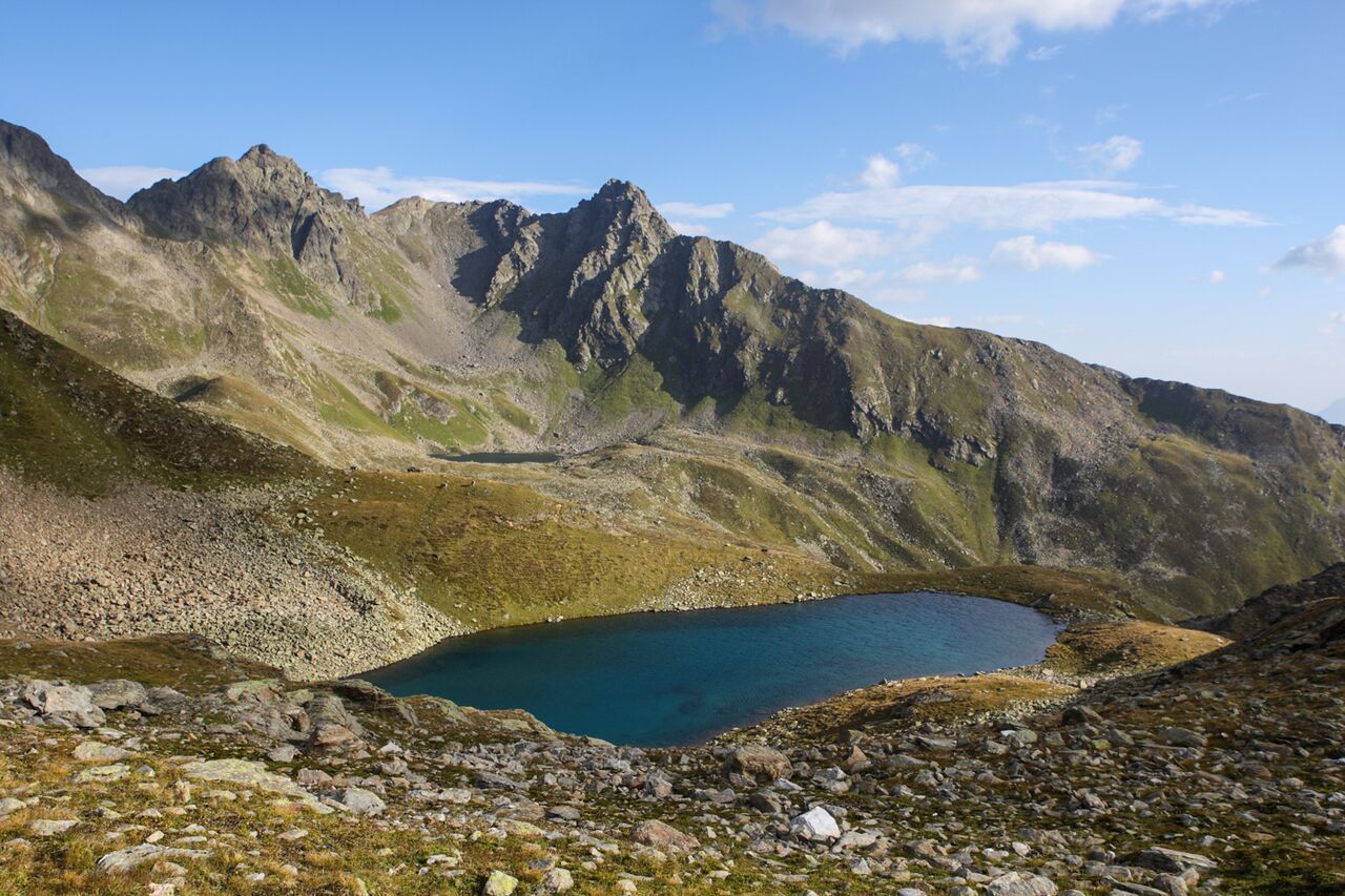
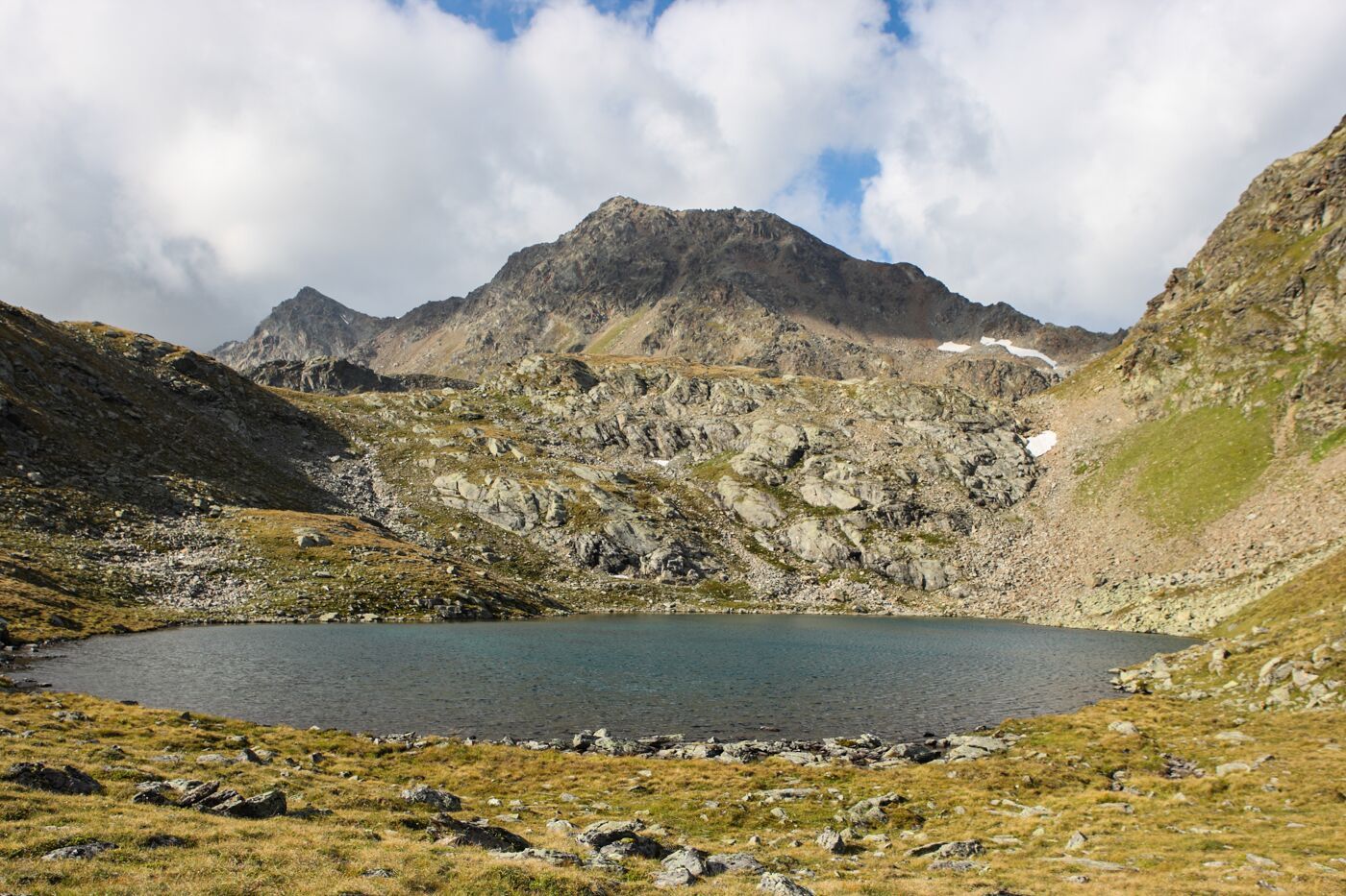
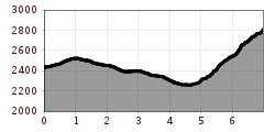
You reach the Oberen Spinnsee lake as descripted on trail no. 16. From the lake, go left up over the Steinkare to the Spinnscharte 2,681 m (F106a) and over a boulder ridge on a beautiful trail with short fixed rope route to the summit 2,936 m (S275). Descent is possible via Kübelgrubenscharte (S276) and the Urgjoch (S271) to the Komperdell (S103) 3 hours, or via Planskopf (S260) and the Gratweg trail back to the Fisser Joch (F087).


