Arrival by public transport
Dienstags mit dem Wanderbus Lienzer Dolomiten.
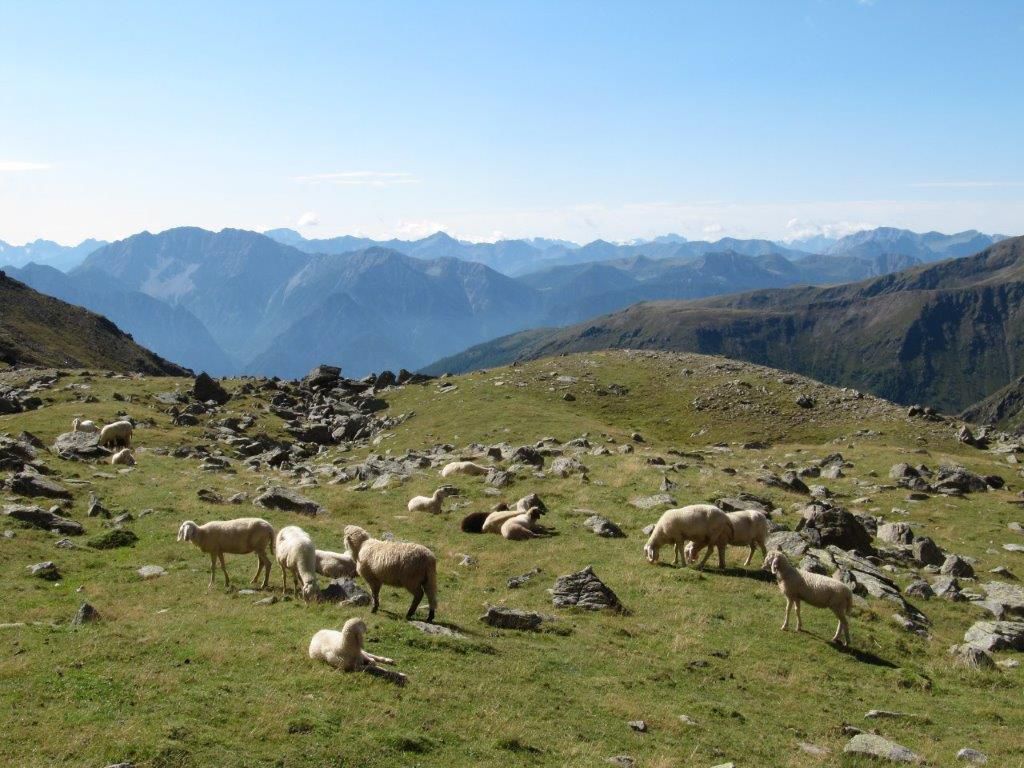
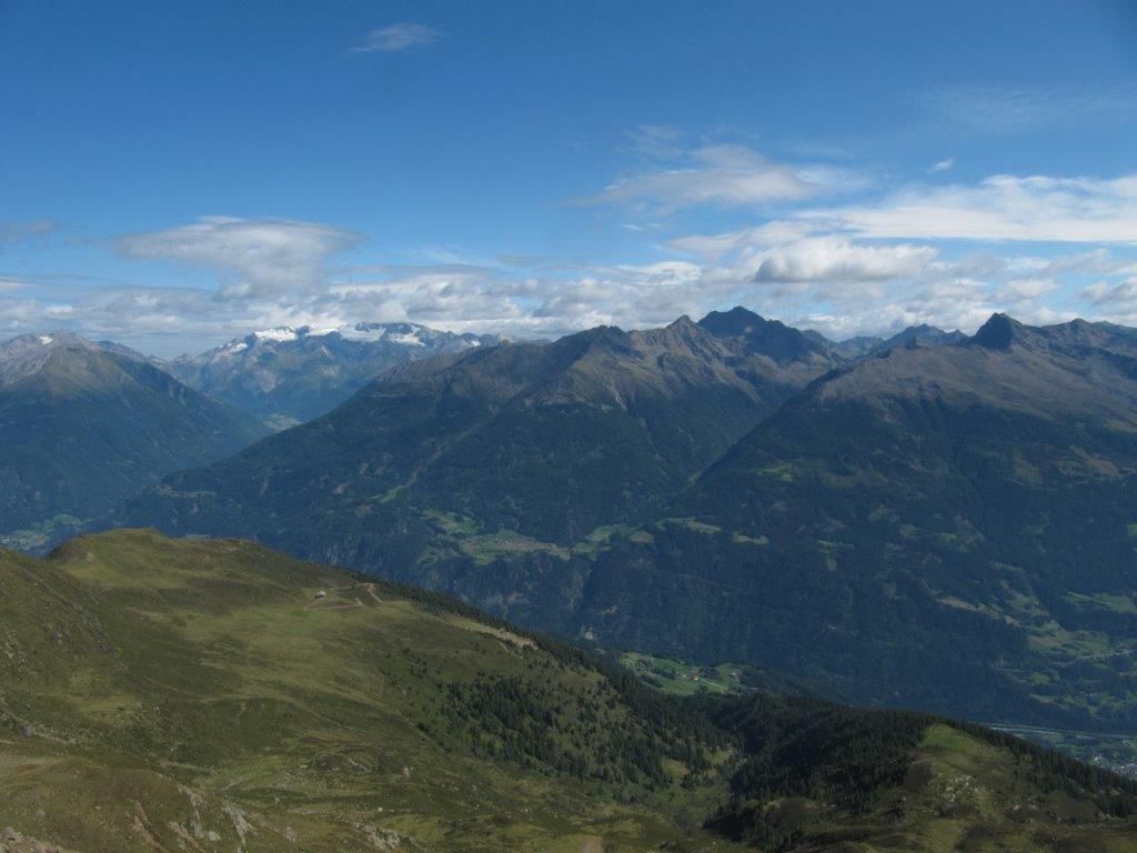
The Rotstein is a wonderful viewing mountain in the Deferegger Alps. The view extends from the Lienz Dolomites in the south-east to the Schober group and the Glockner group in the north.
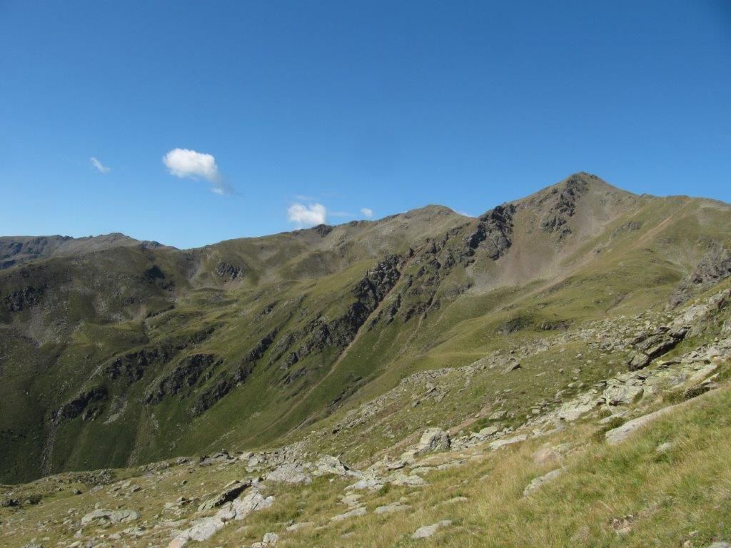
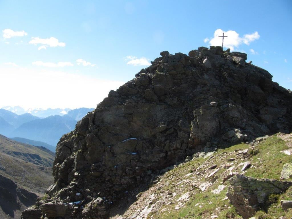
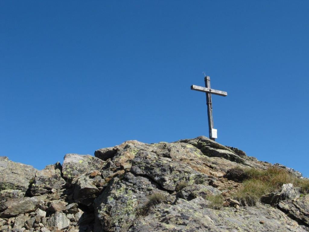
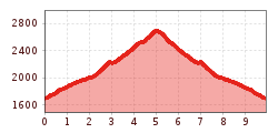
From Lienz by car to Thal, then bear right on the Pustertaler Höhenstraße road to Assling Wildlife Park. Take a right there to Wilfernertal, passing the Warscherbauer to the head of the valley at Wilfernertal, 1701m. ‘Parking available’. From the car park across the bridge, heading north, up the agricultural road to Huber Kaser, take a left here, continue in a northerly direction to the Wilfernerlacke. Continue up to the wind gap between Schlaitenkofel and Rotstein, via the easy climb on the eastern ridge up to the summit, 2702m.
Dienstags mit dem Wanderbus Lienzer Dolomiten.
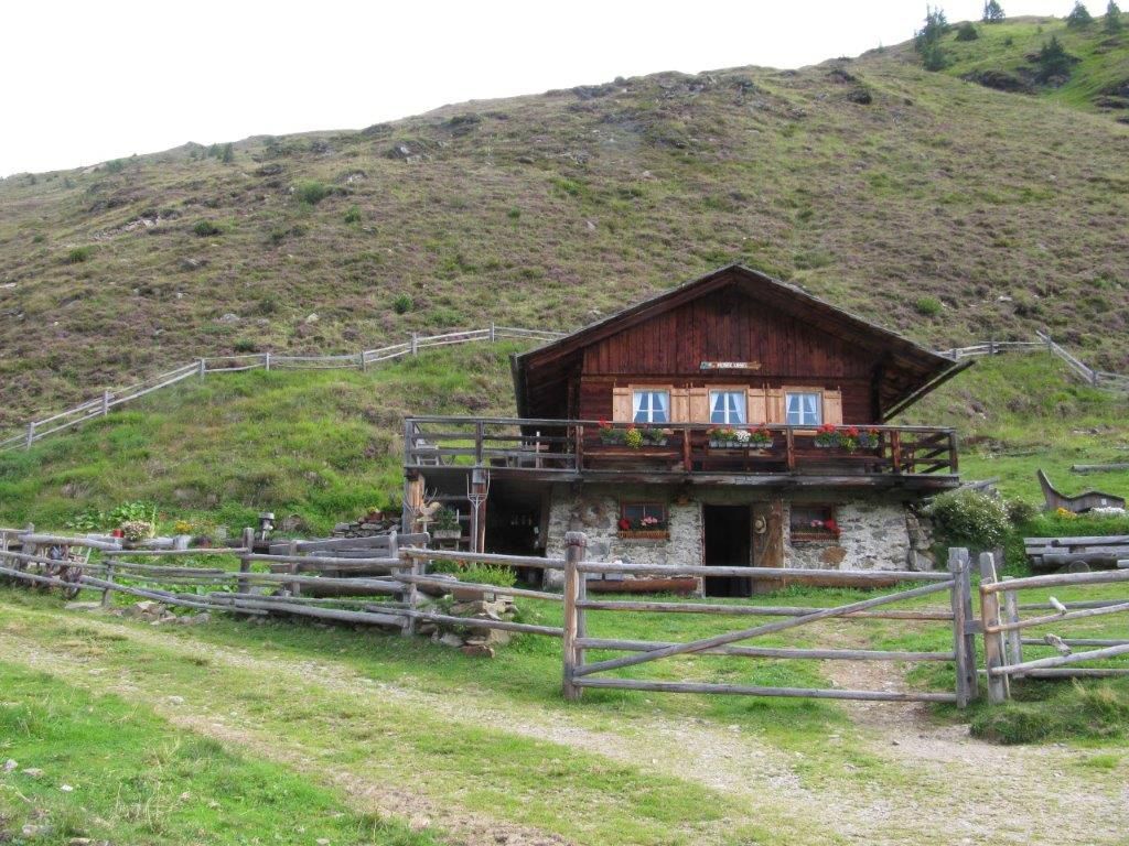
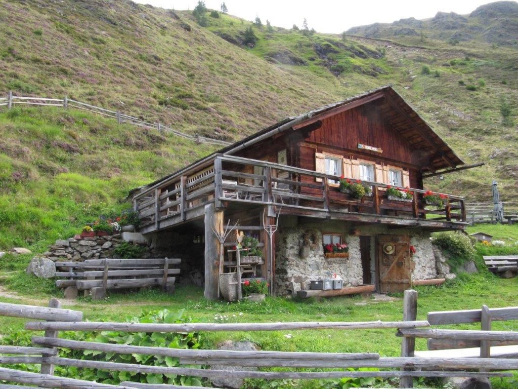
Parkplatz Pedretscher Kaser


