Mountain hikes Sonnenweg Hohe Salve

Westendorf / Kitzbüheler Alpen
Difficulty ratings: easy
Route length: 700 m
Duration: 0:20 h

Sonnenweg Hohe Salve

Tour information

  • Requirement: easy
  • Length: 700 m
  • Duration: 0:20 h
  • Elevation uphill:20 hm
  • Elevation downhill:29 hm
Highest point1,829 m

Starting point

Hohe Salve Gipfel, 1829m

Finishing point

Hohe Salve Gipfel, 1829m
  • Fitness level 1 / 6
  • Technique 1 / 6

Features

  • Circular route
  • Suitable for families

Best time of year

  • January
  • February
  • March
  • April
  • May
  • June
  • July
  • August
  • September
  • October
  • November
  • December

Trail condition

Gravel path

Equipment

Outdoor clothing Sufficient food and drinks First aid kit Mobile phone with full battery & charger Hiking map & guide literature Possibly a GPS device or download GPS data to your mobile phone Sun protection (sunglasses, sun cream & cap) Rain gear Cash
Source: Kitzbüheler Alpen - Brixental

Description

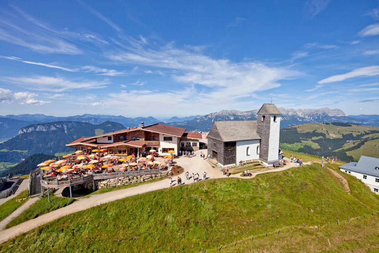
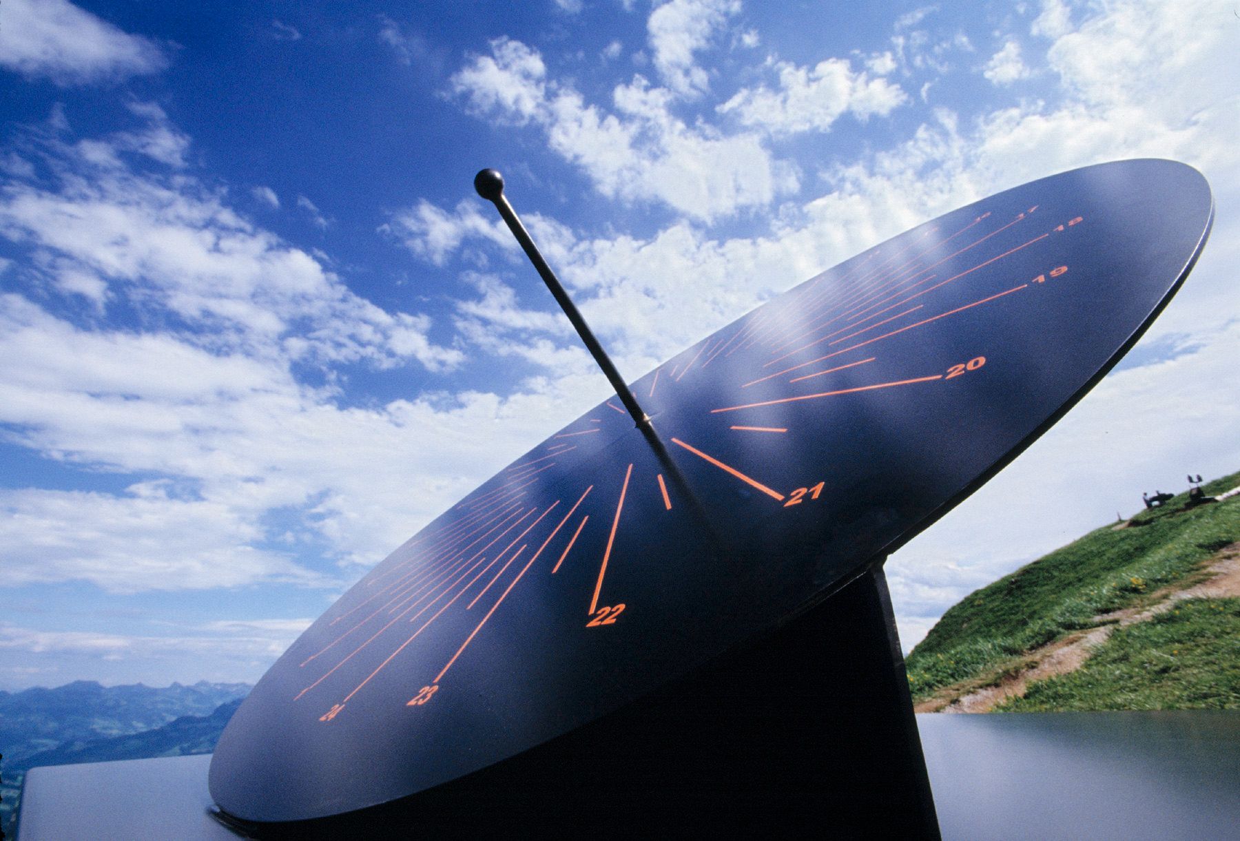
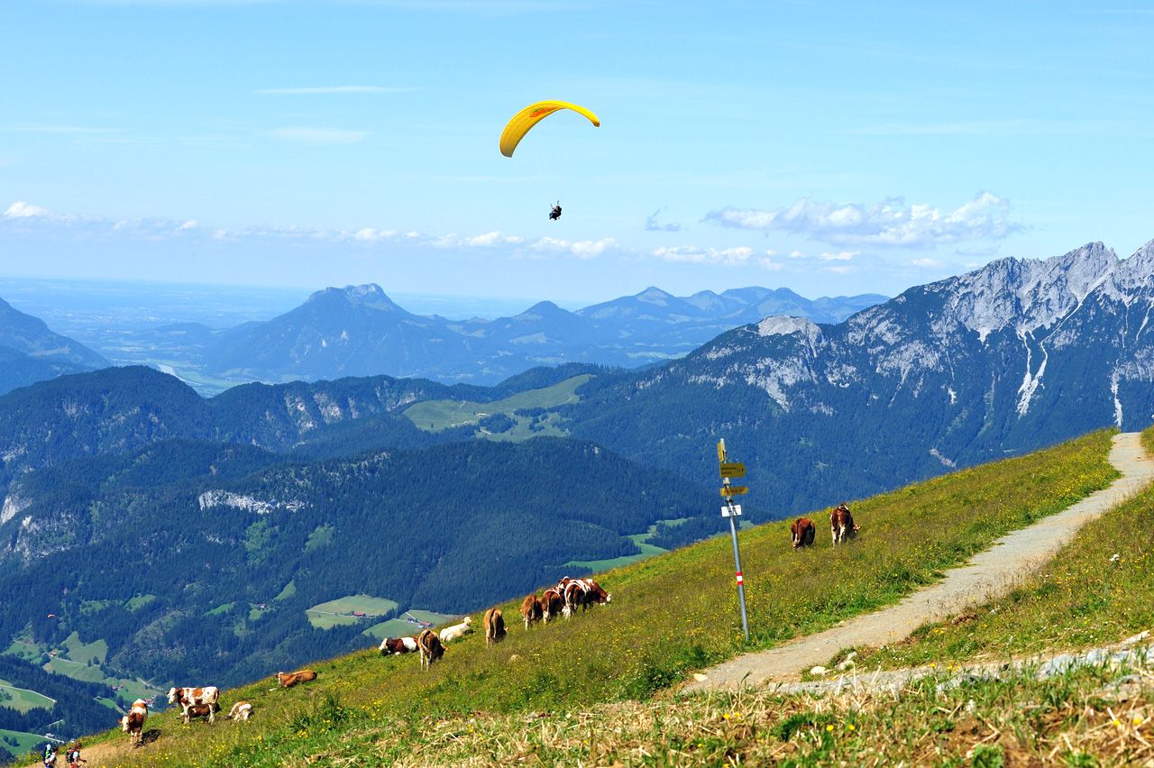
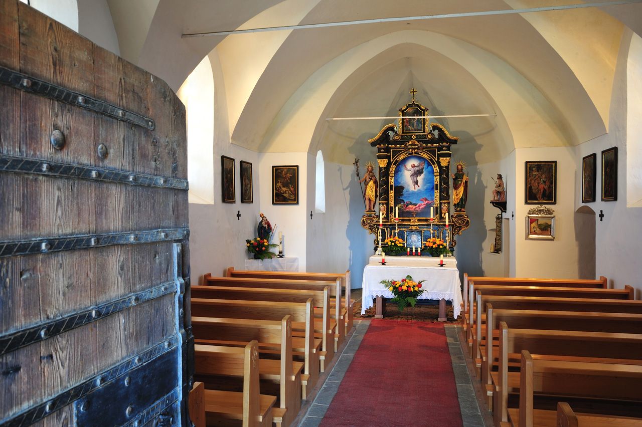
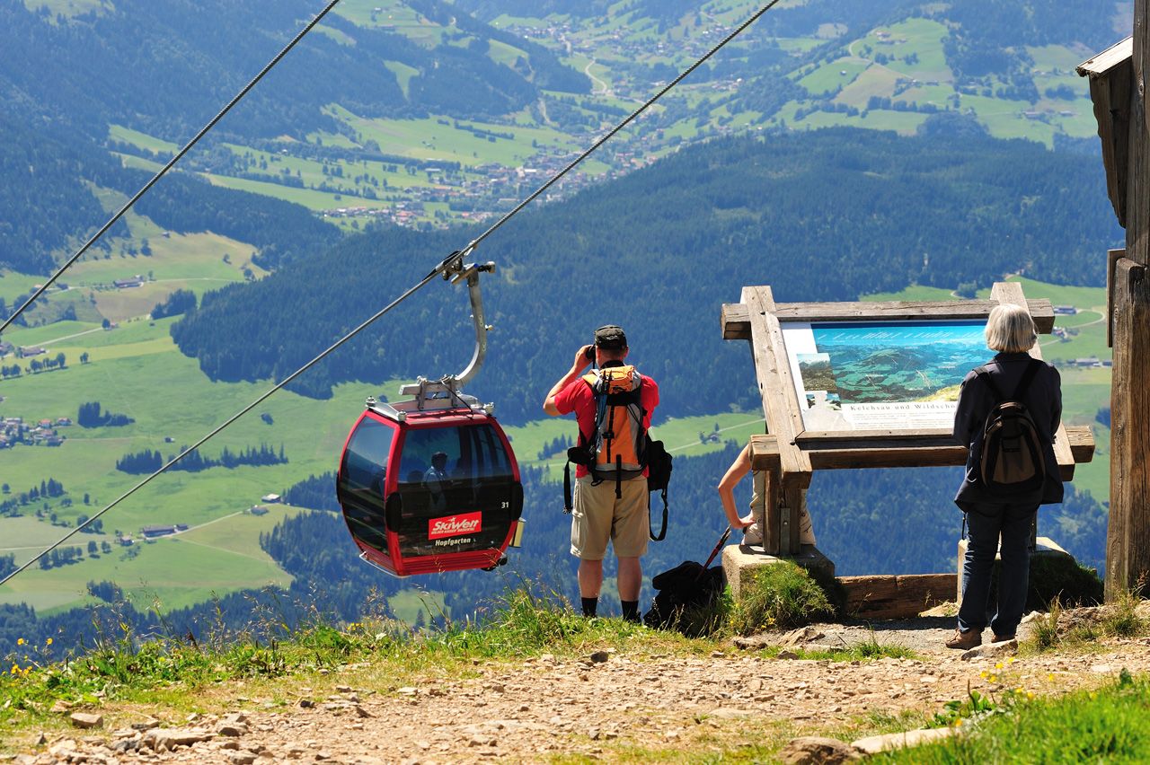
The starting point of this hike is at the summit of the Hohe Salve, which is best reached via the Salvenbahn I and II from Hopfgarten.  It takes about 20 minutes to walk along the Sundial Trail past sundials and a wind harp once around the summit of the Hohe Salve. 
This route is suitable for young and old and can even be done with an all-terrain pushchair.

Nearby huts and mountain restaurants

Getting here

  • Arrival by public transport

    bus: Hopfgarten Berglift train station
    train: Hopfgarten Berglift Bahnhof

    Guest card = travel ticket - bus & train included! 
    Online timetables:

    www.vvt.at
    www.oebb.at

  • Parking

    Car park P3 Wasserfeld (free of charge
    Lift car park - free of charge when using the gondola

More tours in the surrounding area

Newsletter

The mountain is calling? So does our newsletter!

In our monthly newsletter we reveal the best holiday tips for Tyrol.