Mountain hikes Sonnjoch

Hopfgarten im Brixental / Kitzbüheler Alpen
Difficulty ratings: medium
Route length: 14.4 km
Duration: 5:45 h

Sonnjoch

Tour information

  • Requirement: medium
  • Length: 14.4 km
  • Duration: 5:45 h
  • Elevation uphill:944 hm
  • Elevation downhill:941 hm
Highest point2,292 m

Starting point

Tiefentalalm (1439m)

Finishing point

Tiefentalalm
  • Fitness level 3 / 6
  • Technique 3 / 6

Best time of year

  • January
  • February
  • March
  • April
  • May
  • June
  • July
  • August
  • September
  • October
  • November
  • December

Trail condition

Forest road, hiking trail

Equipment

outdoor clothing Sturdy shoes sufficient food and water First aid kit Mobile phone with full battery & charger Hiking map & guide literature Possibly a GPS device or download the GPS data to your mobile phone Sun protection (sunglasses, sunscreen & cap) Rainwear & cash
Source: Kitzbüheler Alpen Region Hohe Salve

Description

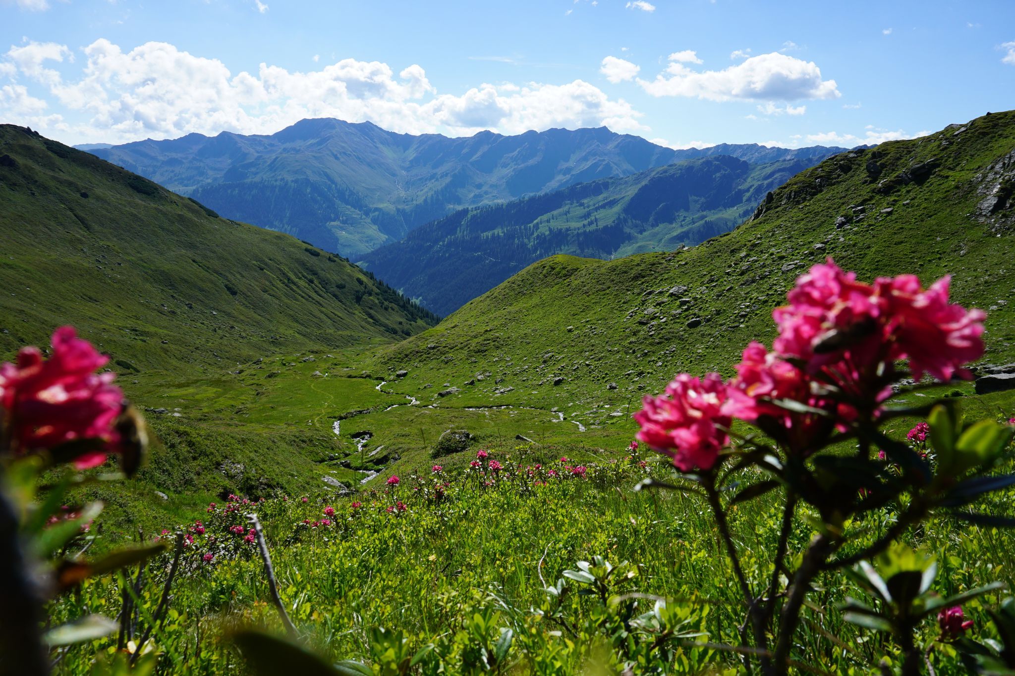
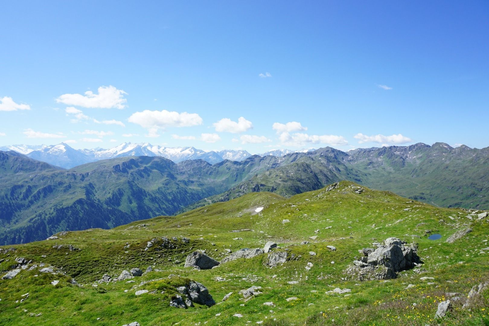
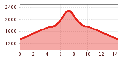
The starting point for this hike is the Tiefentalalm parking lot in Langer Grund. From there, follow the signs no. 76 in the direction of Sonnjoch. At the first junction, above the Ochsenschlag Niederalm, continue along the forest road until just before the Seefeldalm. Passing a small mountain stream, you hike up over the summit ridge until you reach the Sonnjoch (2287 m).
Back to the starting point you follow the signposting no. 76 in the direction of the Tiefentalalm.

There are no refreshment stops on the tour. Therefore, we strongly recommend that you take enough food and drink with you.

Getting here

  • Arrival by public transport

    bus: Steinerbrücke“ in Kelchsau 

    Guest card = travel ticket - bus & train included! 
    Online timetables:

    www.vvt.at
    www.oebb.at

More tours in the surrounding area

  • Schafsiedel

    Difficulty: medium
    Length: 15.6 km Duration: 6:45 h Elevation uphill: 1,280 m
Newsletter

The mountain is calling? So does our newsletter!

In our monthly newsletter we reveal the best holiday tips for Tyrol.