Long-distance hike St. James way Section 5 Haldensee - Bad Hindelang

Grän-Haldensee / Allgäu Alps
Difficulty ratings: medium
Route length: 19.8 km
Duration: 5:30 h

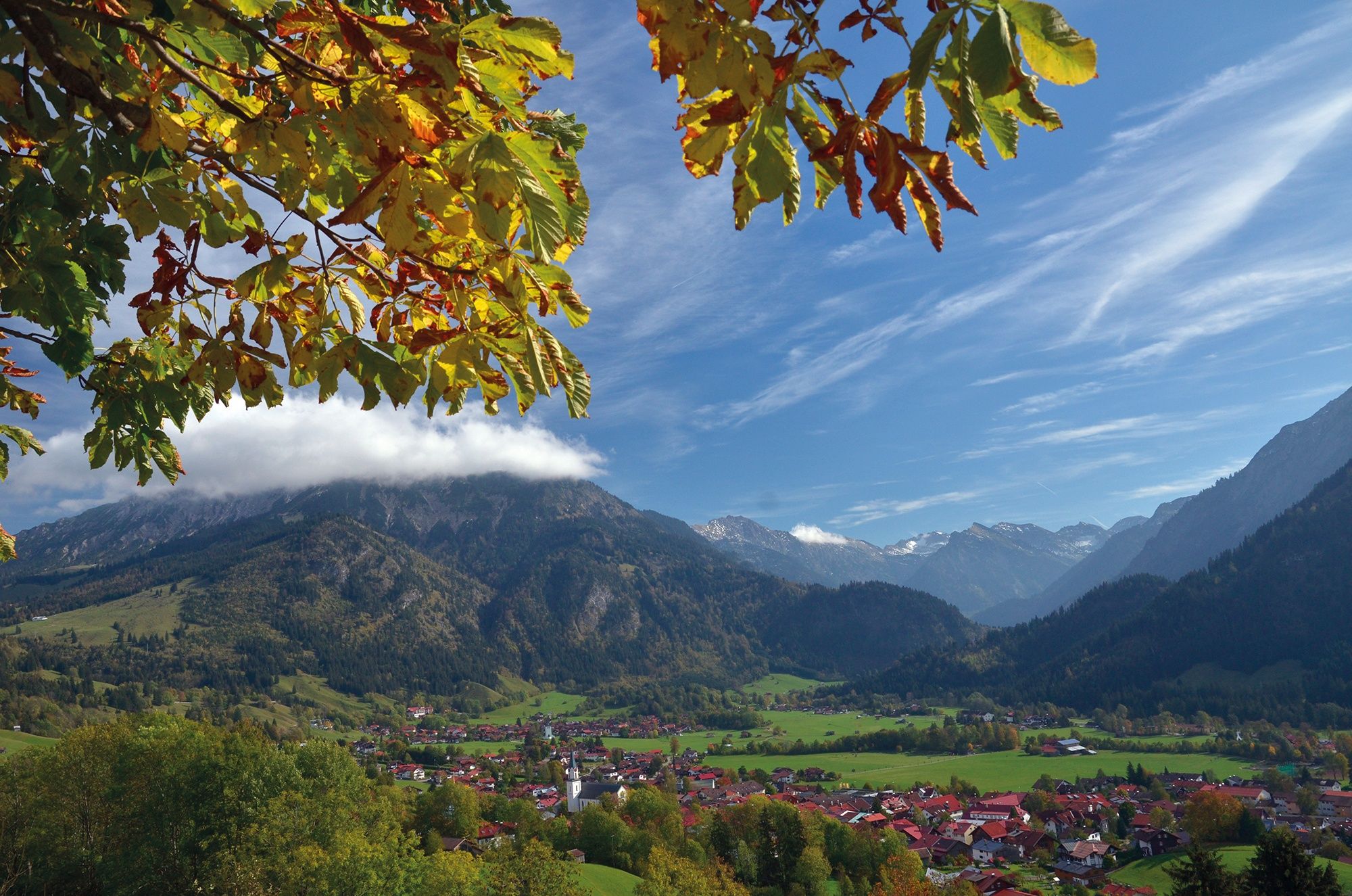
The wide Tannheimer Tal between steep rock teeth and mountain ridges forms the Tyrolean final stage. At Oberjoch the German part begins with a spectacular descent to Bad Hindelang, one of the most attractive spa and holiday communities in the Allgäu.

Tour information

  • Requirement: medium
  • Length: 19.8 km
  • Duration: 5:30 h
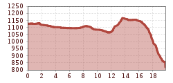
  • Elevation uphill:284 hm
  • Elevation downhill:592 hm
Highest point1,201 m

Starting point

Haldensee

Finishing point

Bad Oberdorf
  • Fitness level 3 / 6

Best time of year

  • January
  • February
  • March
  • April
  • May
  • June
  • July
  • August
  • September
  • October
  • November
  • December

Equipment

It should be noted that there is an increased risk of accidents and injuries on pilgrim paths. Despite careful route planning, a basic risk always remains. Tour preparation through endurance sports, appropriate technical training and mental preparation reduces the risk of accidents and injuries. But please never forget that the weather in the mountains can change very quickly. The personal pilgrim's equipment must be safe and serviceable and must meet the relevant technical standards. The rucksack should not exceed the weight of 15 kg. Every pilgrim is recommended to inform and prepare himself in detail in technical literature or on the Internet
Source: Tannheimer Tal

Description

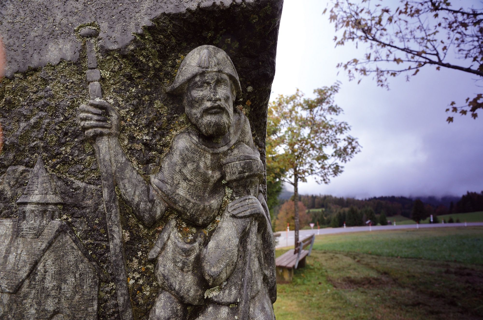
The Tyrol-Allgaeu Way of St James

This Alpine Route of St. James, which is both scenically and culturally very attractive, leads off the main roads over three Alpine passes, namely the Fernpass, the old Gaichtpass and the Jochpass. It crosses some of the most attractive hiking and holiday regions of Tyrol and southern Upper Allgäu on ancient Roman, trade and pilgrim paths.

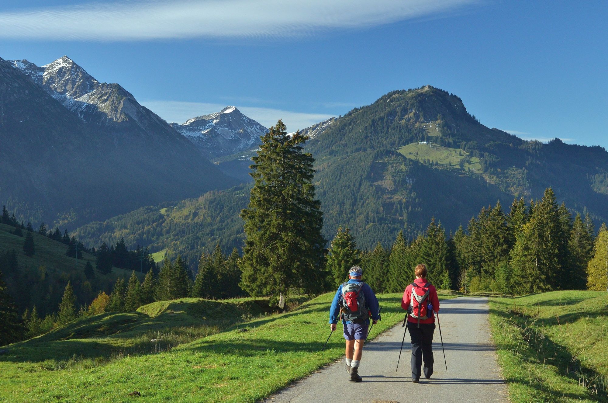
The pilgrims to St. James can undoubtedly look forward to a particularly impressive route here. All the more so, as it mostly leads through rural, tranquil mountain regions, where people have been deeply influenced by faith and fear of the forces of nature for centuries. These regions are therefore particularly rich in churches and chapels with numerous art-historical gems, often from very different eras. In combination with the magnificent panoramic views, the constantly changing perspectives and the meditative, but now and then strenuous hiking in wind and weather through these alpine natural landscapes, this "camino" becomes an unforgettable path that demands all the senses, rich in intense experiences, encounters, experiential and perhaps also new insights about oneself.

Integration into the Jakobwegenetz of Austria and Germany

The Tyrol-Allgaeu Way of St. James connects in Stams to the German-Austrian Way of St. James from Munich along the Isar, Loisach, Leutascher Ache and Inn rivers, as well as to the two Austrian ways of St. James which unite in Innsbruck: the route from Lofer/Salzburg to Innsbruck and the route from Lienz to Innsbruck. From Innsbruck, this bundled stream of St. James' Way leads on via Stams to the Arlberg or even from Stams on the Tyrol-Allgaeu route.

Pilgrim's stamp and pilgrim's identity card

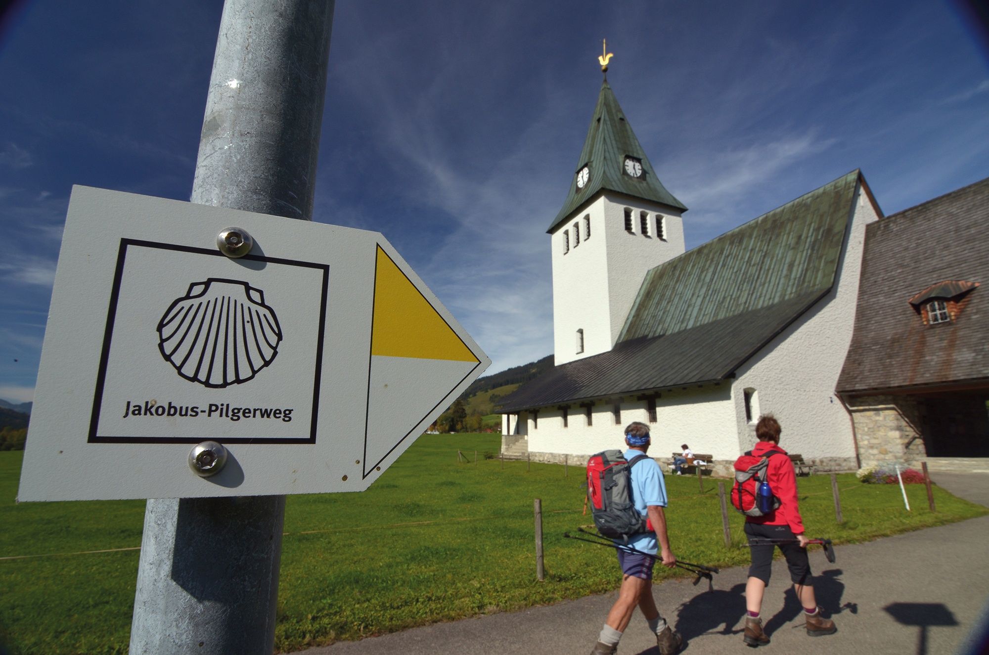
In the chapels of St. James and in the churches mentioned in the text there are stamped places along the St. James' Way. These pilgrim's stamps are nice memories in your own pilgrim's diary. In the intrnat. recognised pilgrim's identity card they serve as proof of the route completed. As an official document, the pilgrim's identity card also enables the pilgrim to stay overnight in special pilgrim accommodation, of which there are still few on this route. It can be obtained from the St. James pilgrim associations for a processing fee.

Getting here

  • Arrival by public transport

    Arrival via the easily accessible Sonthofen railway station. Further by bus via Bad Hindelang and Oberjoch into the Tannheimer Tal. Further arrival in summer by train and bus via the stations of the extra-city railway Kempten-Reutte: From the railway station Pfronten-Ried 16 km to Grän as well as from the railway station Reutte 24 km through the Lechtal via the Gaichtpass. Bus timetables and travel tips at: www.vvt.at (Tyrol), www.rva.de (Füssen/Pfronten and Oberstdorf area) and www.tannheimertal.com .

  • Parking

    No vignettes on the A7 Kempten-Reutte until the Oy- Mittelberg exit. On B310 to Oberjoch and on B308 into the Tannheimer Tal. Or A980 to exit Waltenhofen and on B19 to Sonthofen. Further on B308 via Bad Hindelang and Oberjoch. From direction Fernpass/Reutte the fastest way is on A7 to exit Oy-Mittelberg, on B310 to Oberjoch, on B308 into the Tannheimer Tal.
    In Grän at the community center - with costs

Weather

Today

clear sky
23°C/8°C
0%0l5 km/h

Mon

clear sky
23°C/8°C
0%0l10 km/h

Tue

mainly clear
22°C/9°C
0%0l10 km/h
Go to weather forecast
Newsletter

The mountain is calling? So does our newsletter!

In our monthly newsletter we reveal the best holiday tips for Tyrol.