
Difficulty:medium
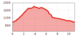
Length:14.6 kmDuration:3:30 hElevation uphill:85 m
Gipfel-Gratwanderung Schelleleskopf, Hochjoch, Soldatenköpfe
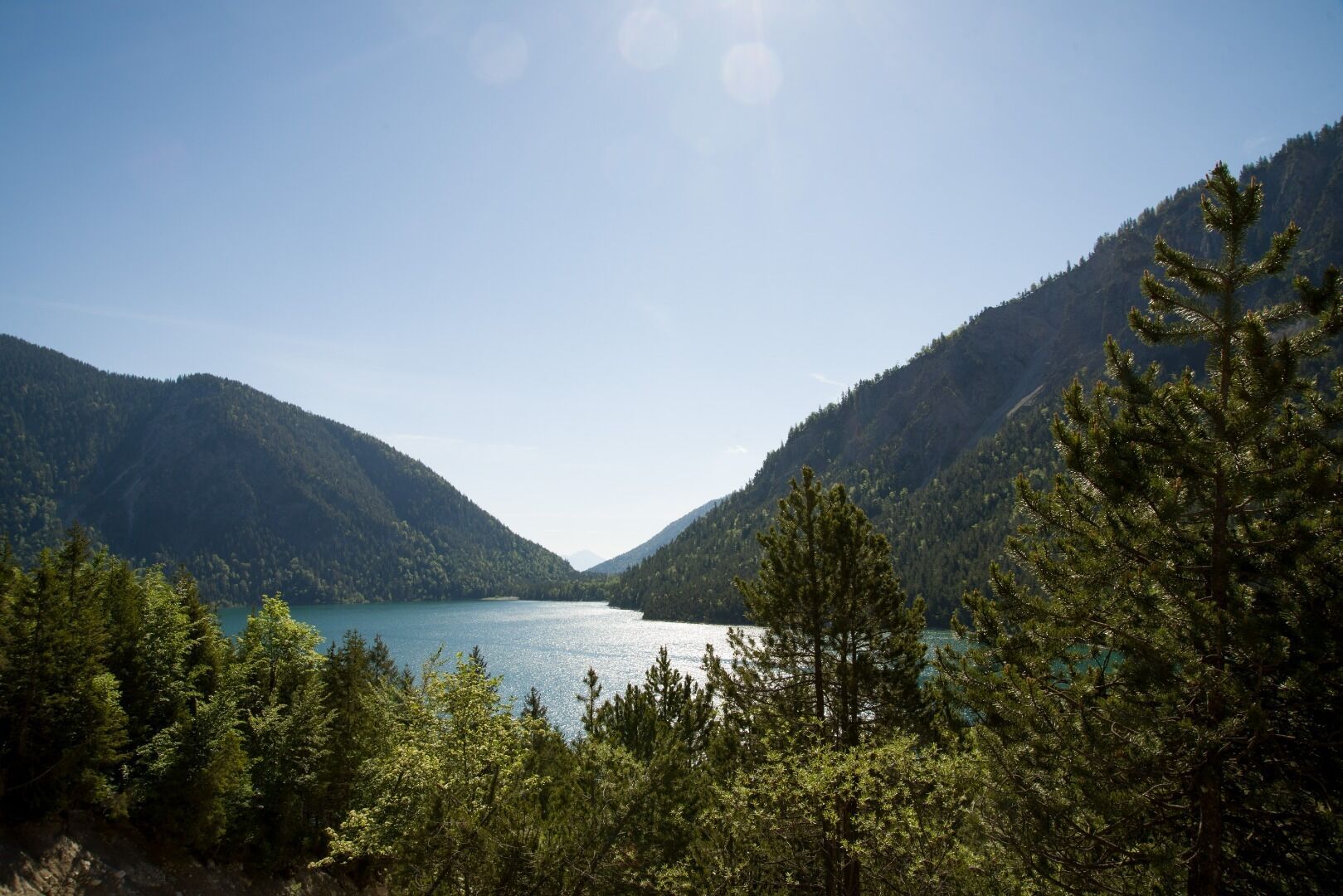
Experience a breathtaking summit tour amidst the picturesque landscape of the Plansee. The starting point of your tour is the campsite at the Seespitze, from where you hike up a small serpentine path to the Schelleleskopf (1,722 m) - the first summit of your tour. Continue east along the ridge for about a kilometer until you stand on the Hochjoch summit (1,823 m), the highest point of your hike. The view of the surrounding mountains will inspire you! After you have reached the third summit of the tour, the Soldatenköpfle (1,765 m), the descent begins. The last four kilometers are on a forest path until you finally arrive at the Hotel Forelle / the Sennalpe campsite.
.jpg")


