

Place:Breitenwang
:Alpine pasture / hut / mountain restaurant
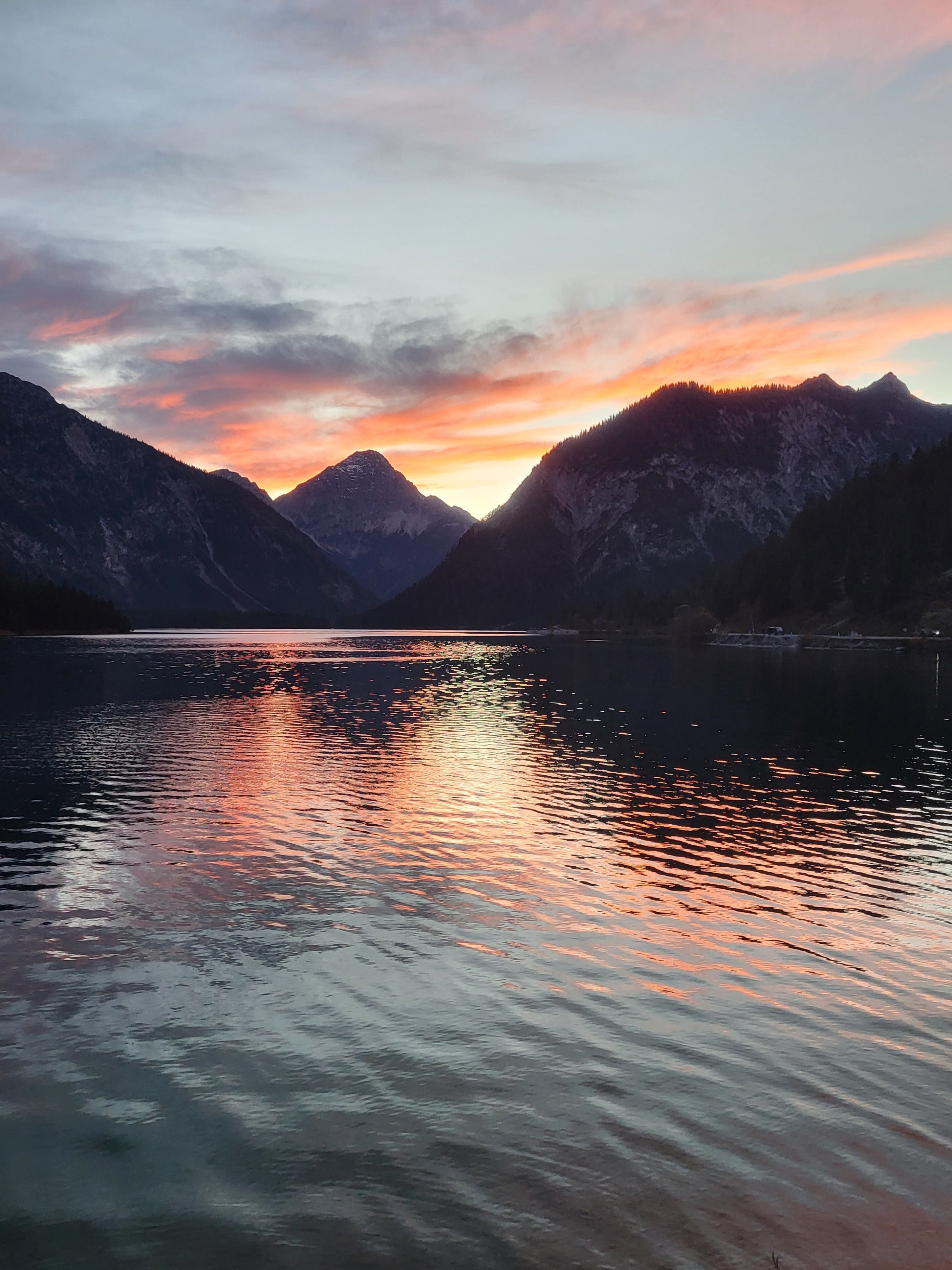
Here at Plansee, the path really is the destination - after all, the entire route runs either directly along the lakeshore or around the lake with panoramic views.
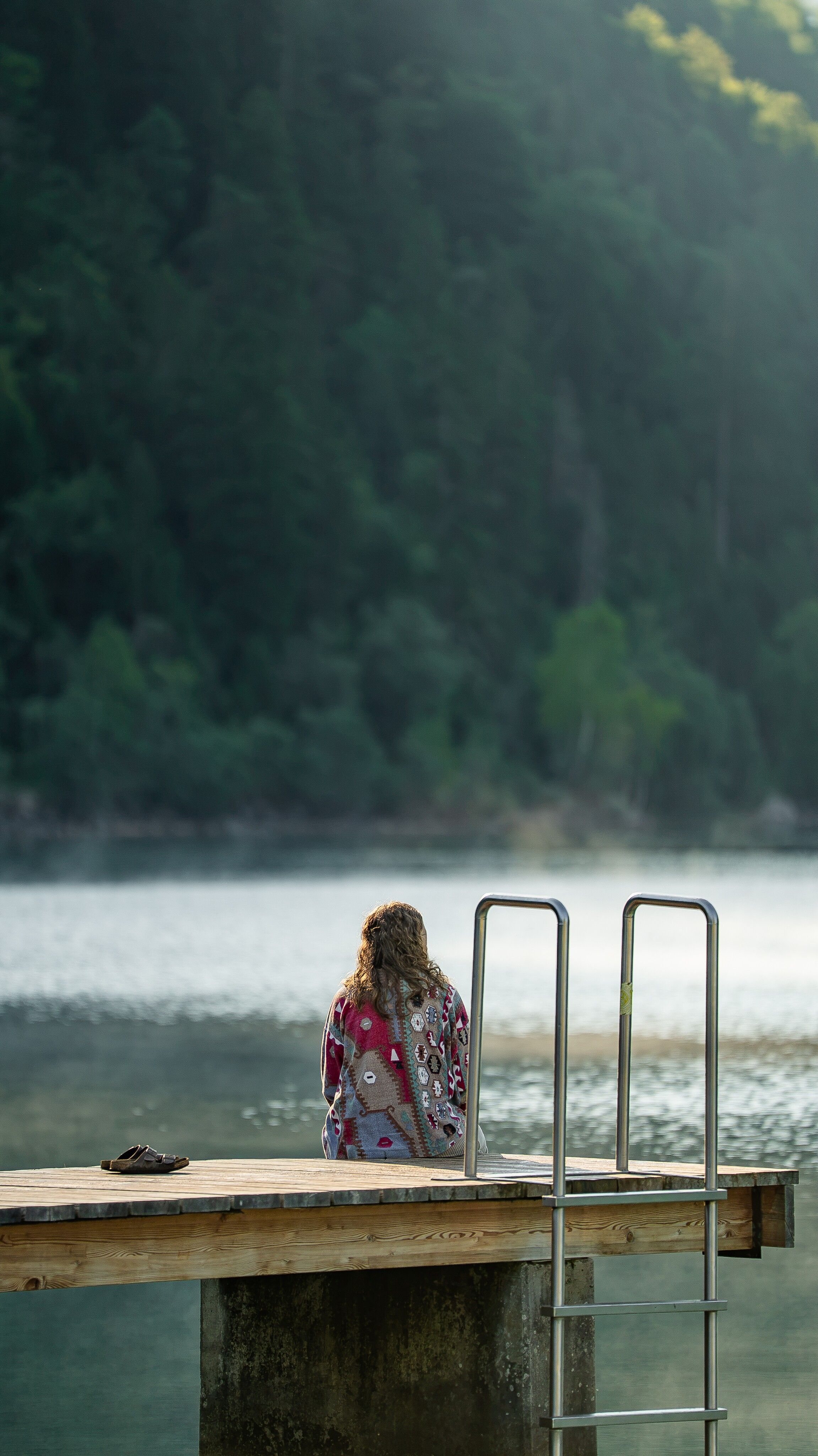
Flat circuit around the Plansee, the second largest mountain lake in Tyrol. The route leads partly along a panoramic path above the lakeside road and then directly along the lakeshore. There are refreshment stops and numerous bathing opportunities along the way, and you can take a shortcut by boat at two landing stages.
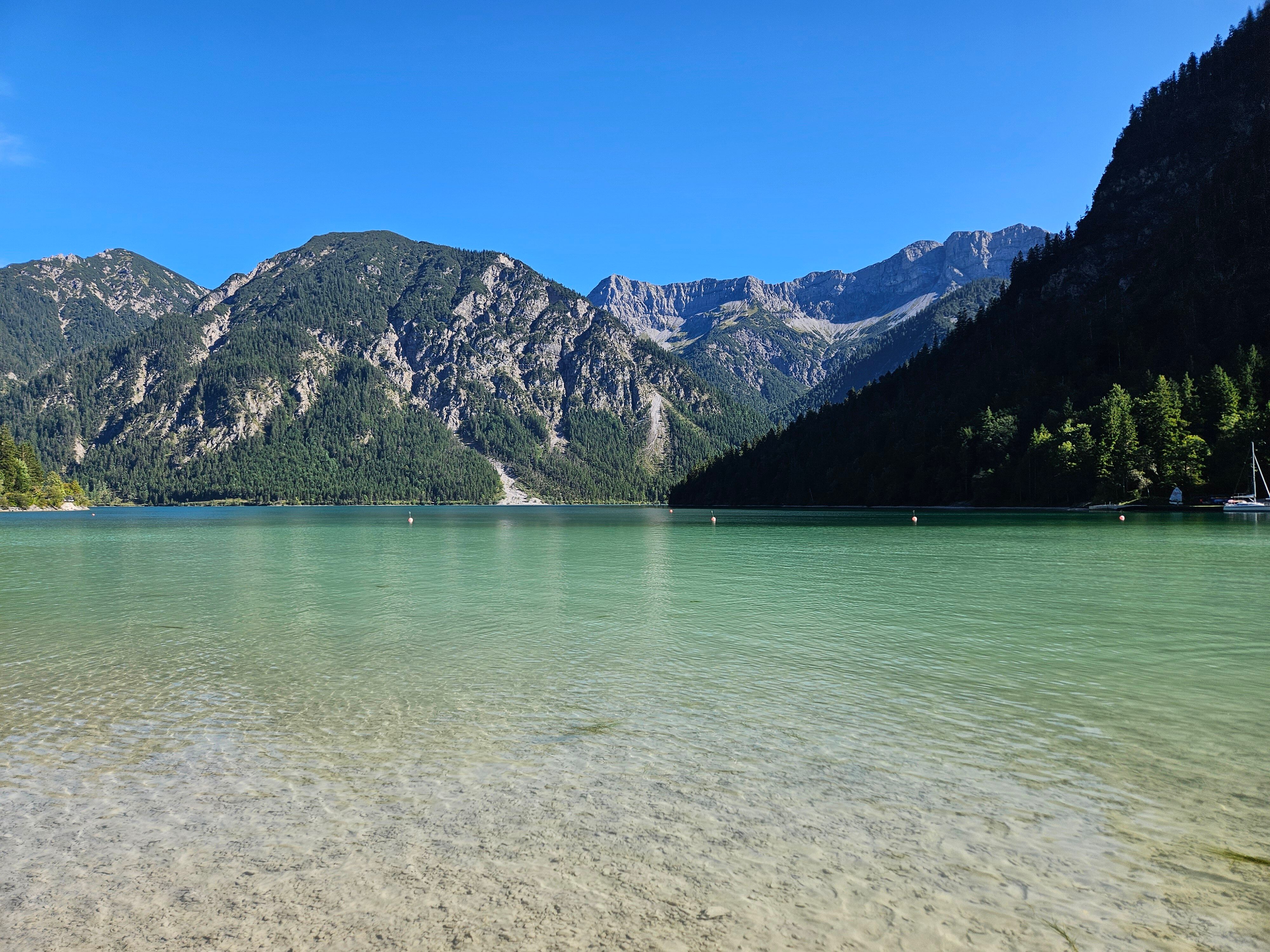
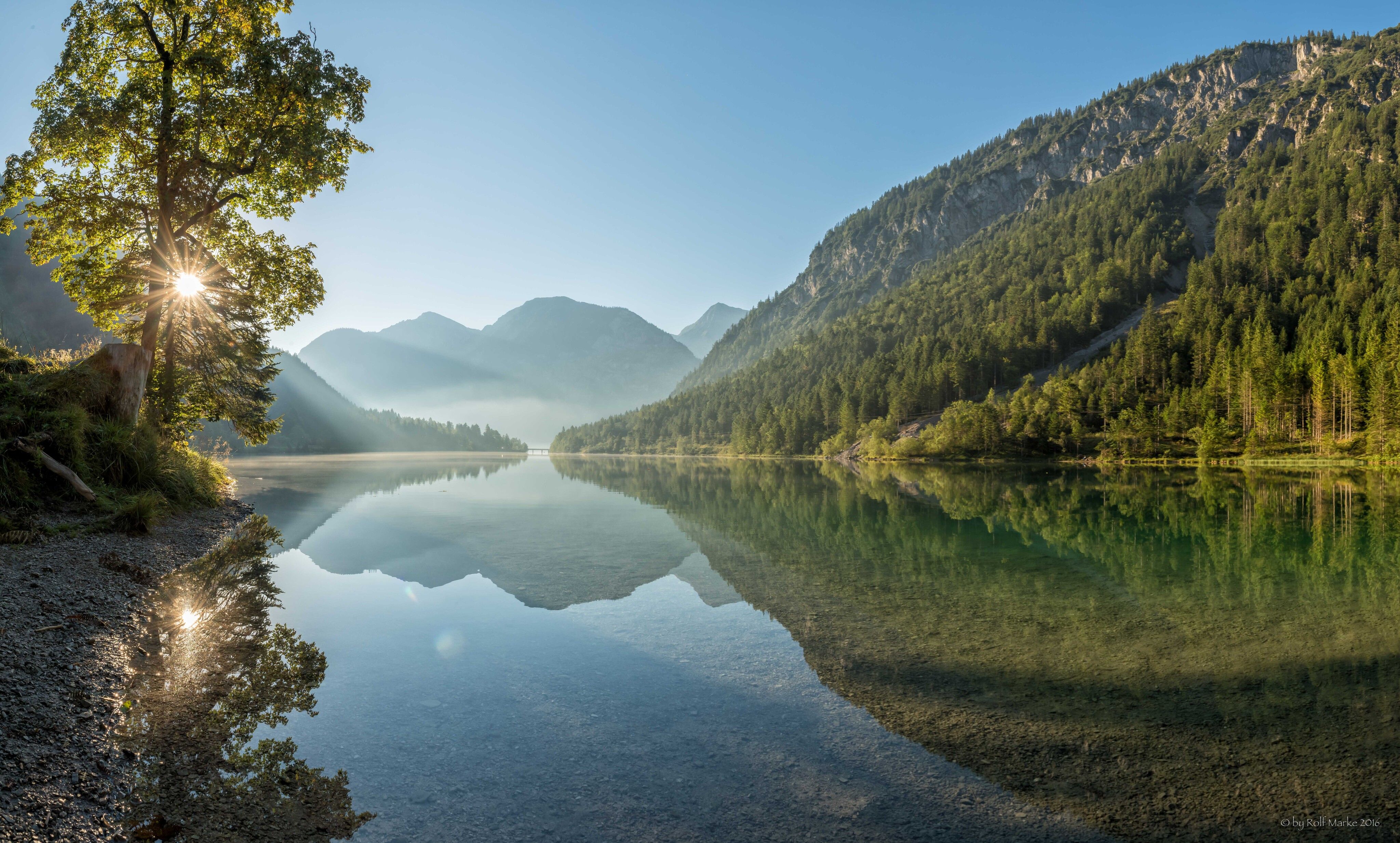
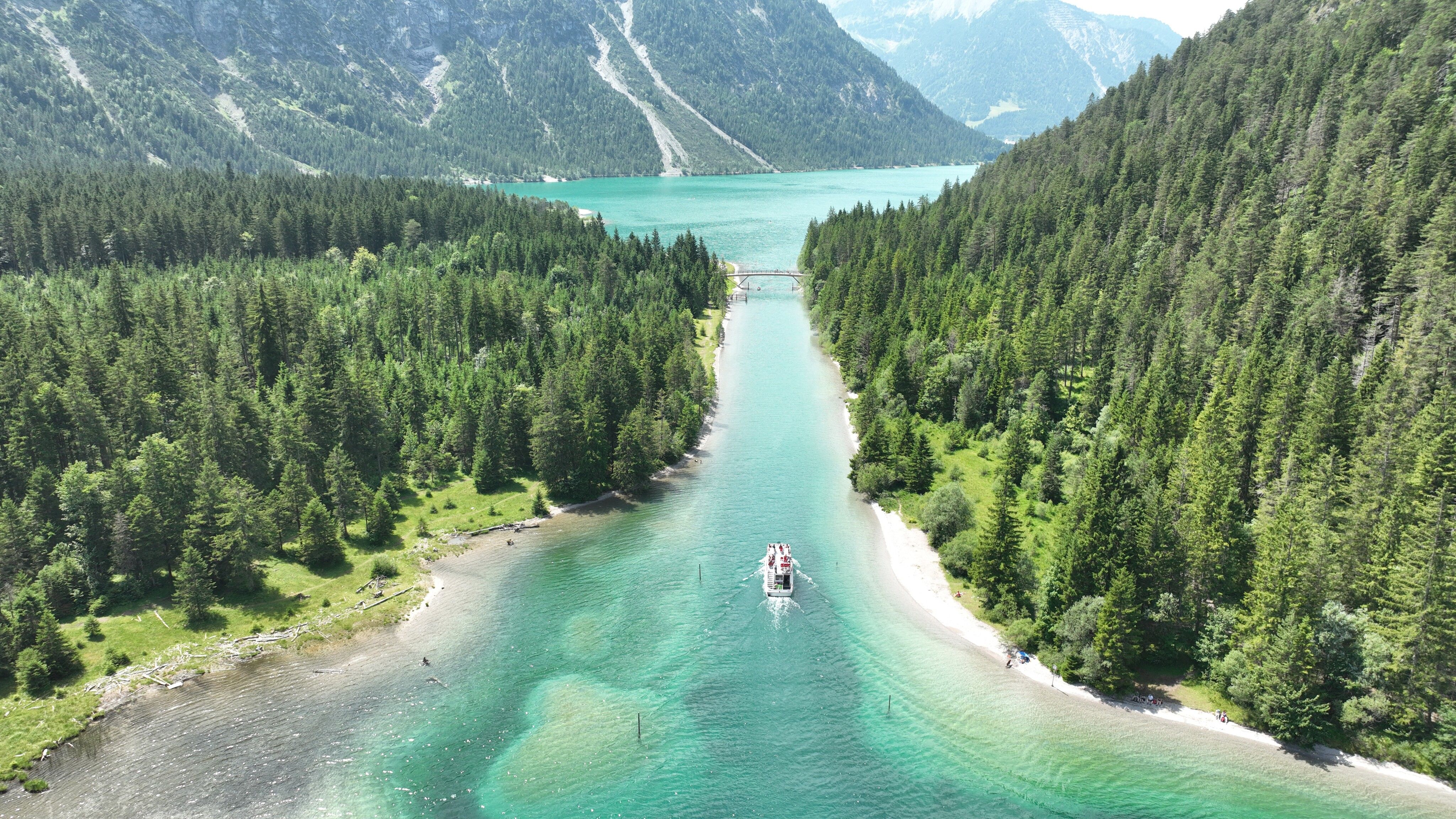
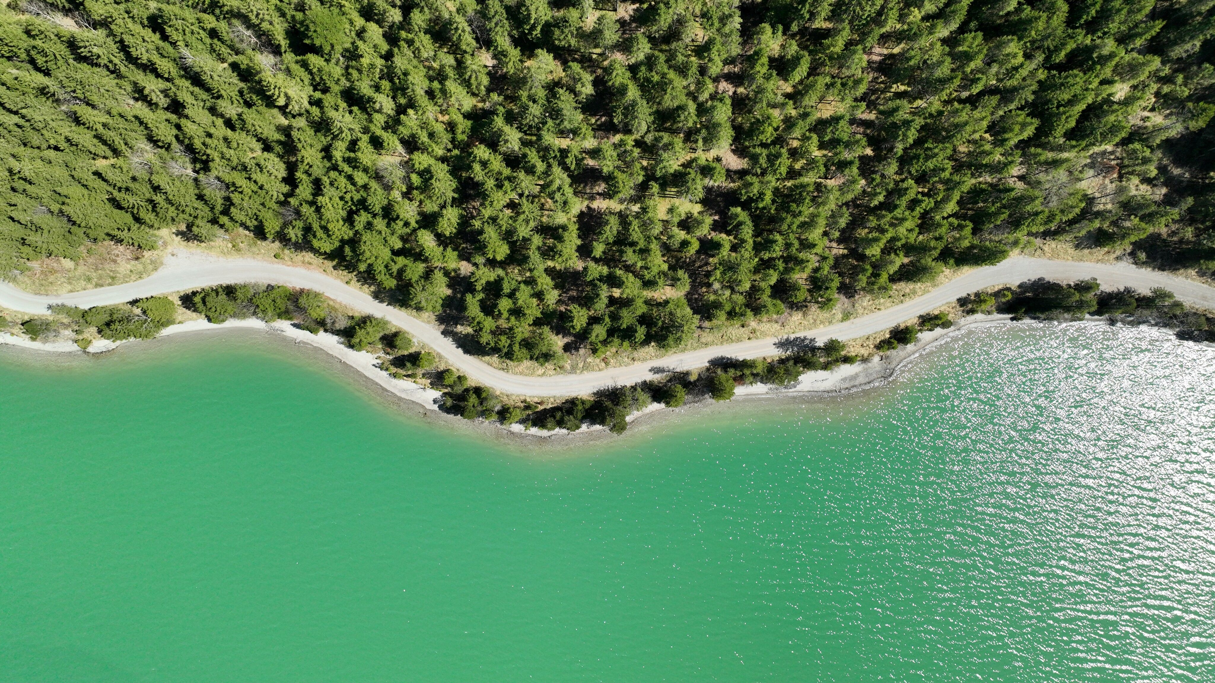
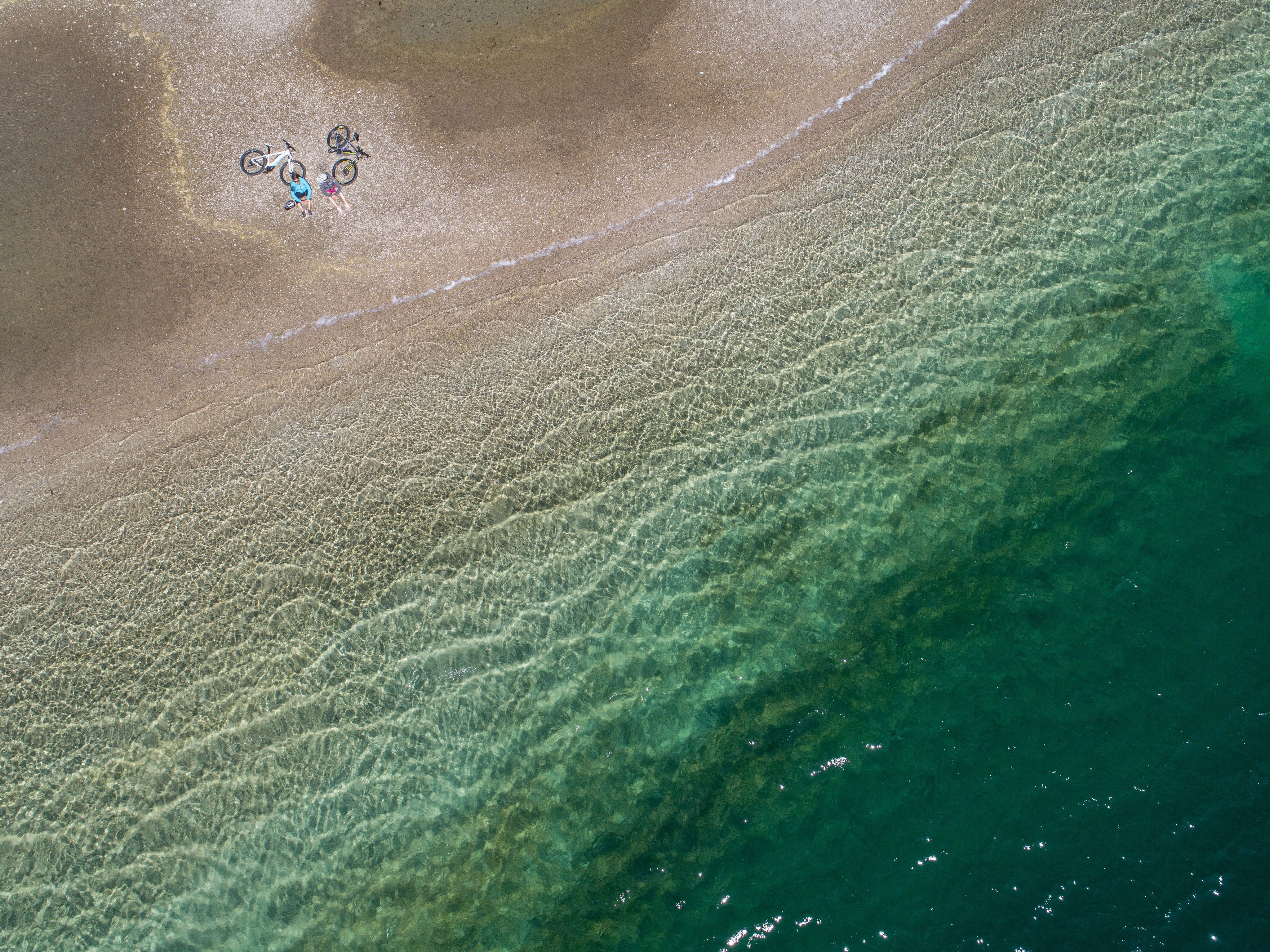
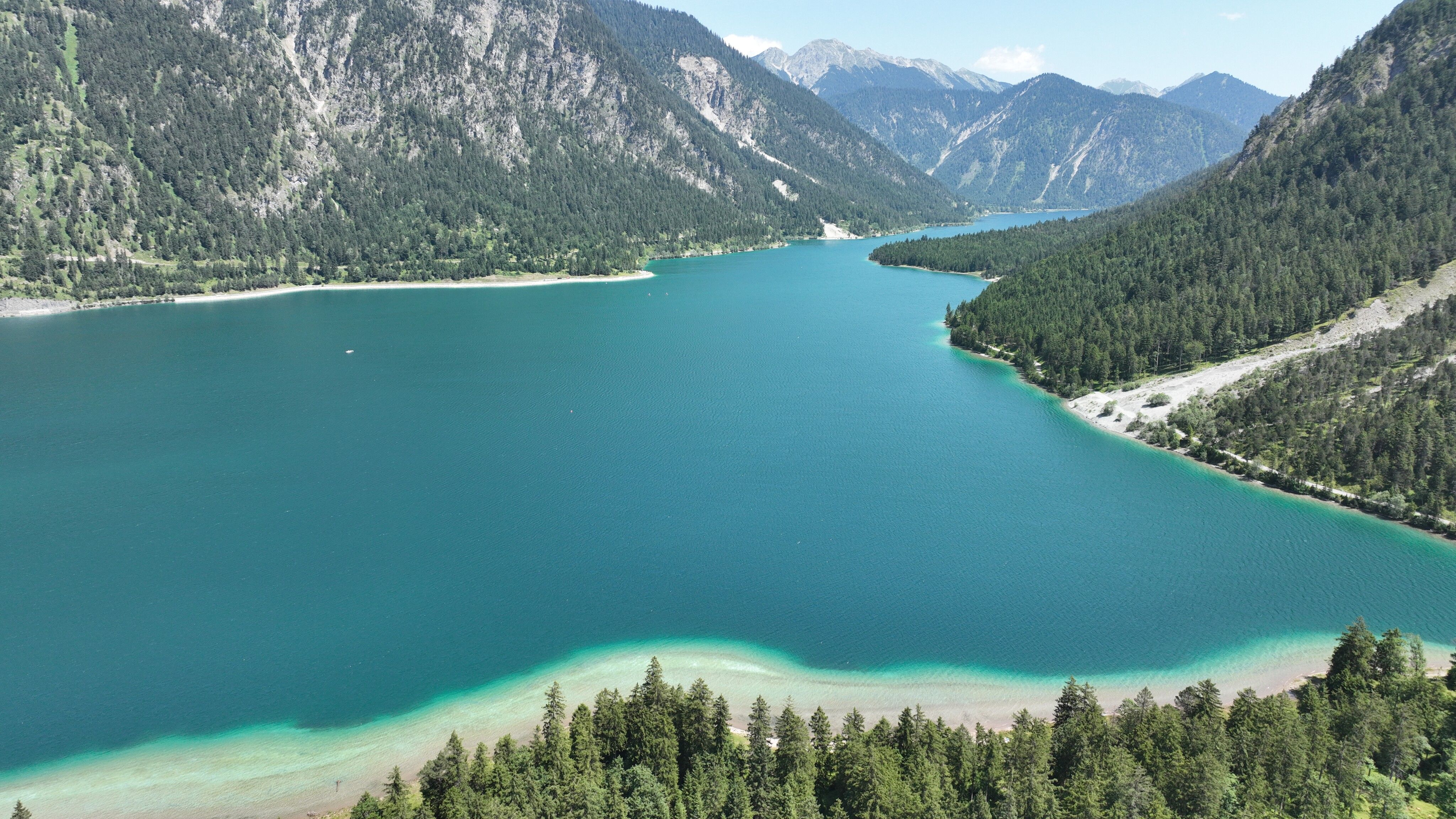

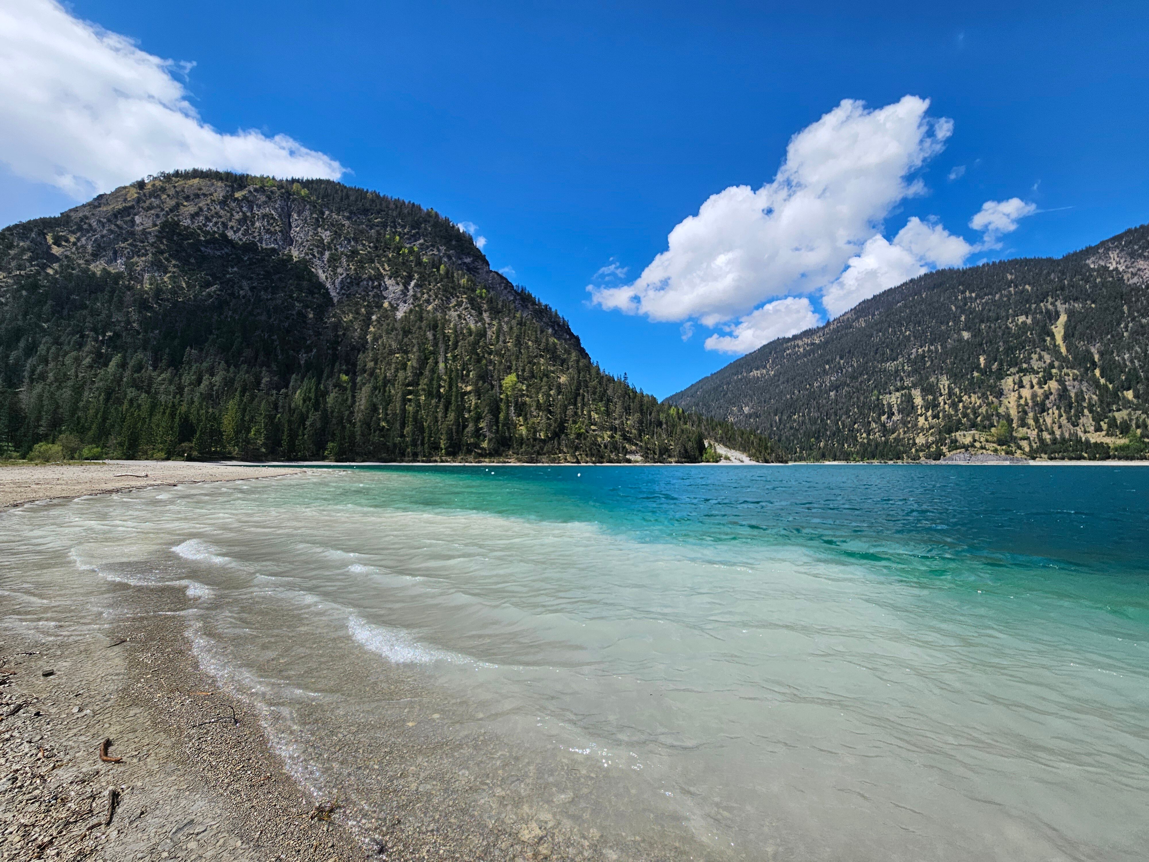
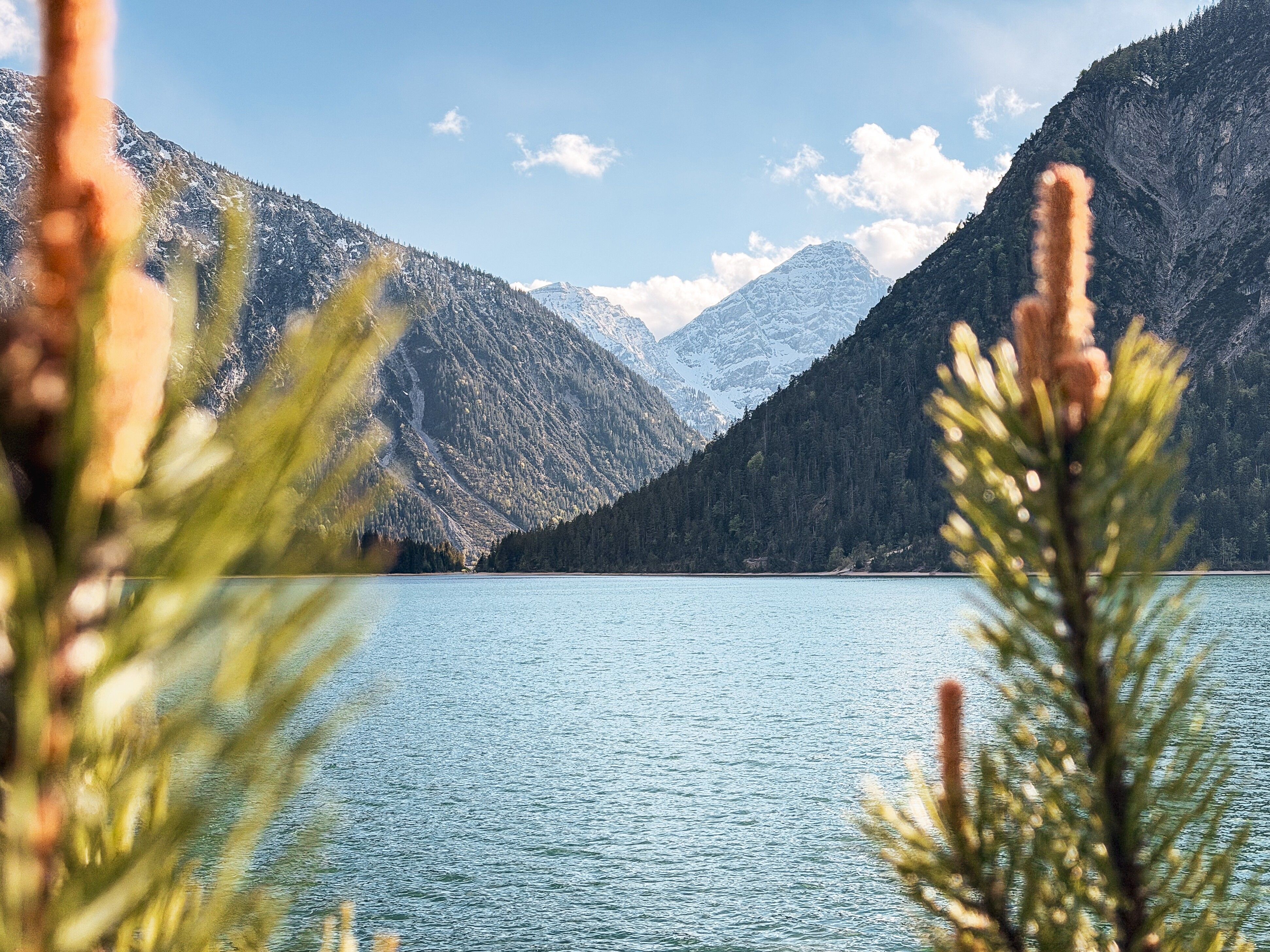
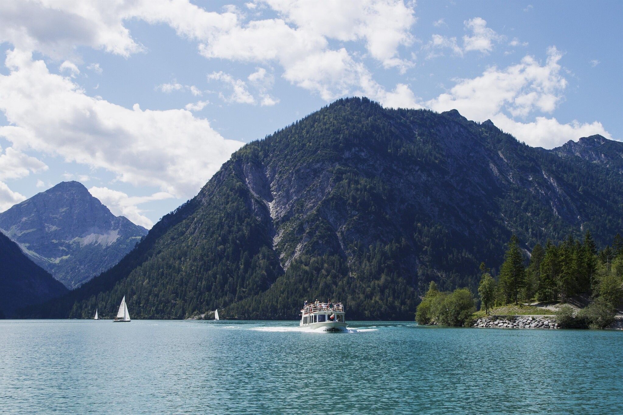
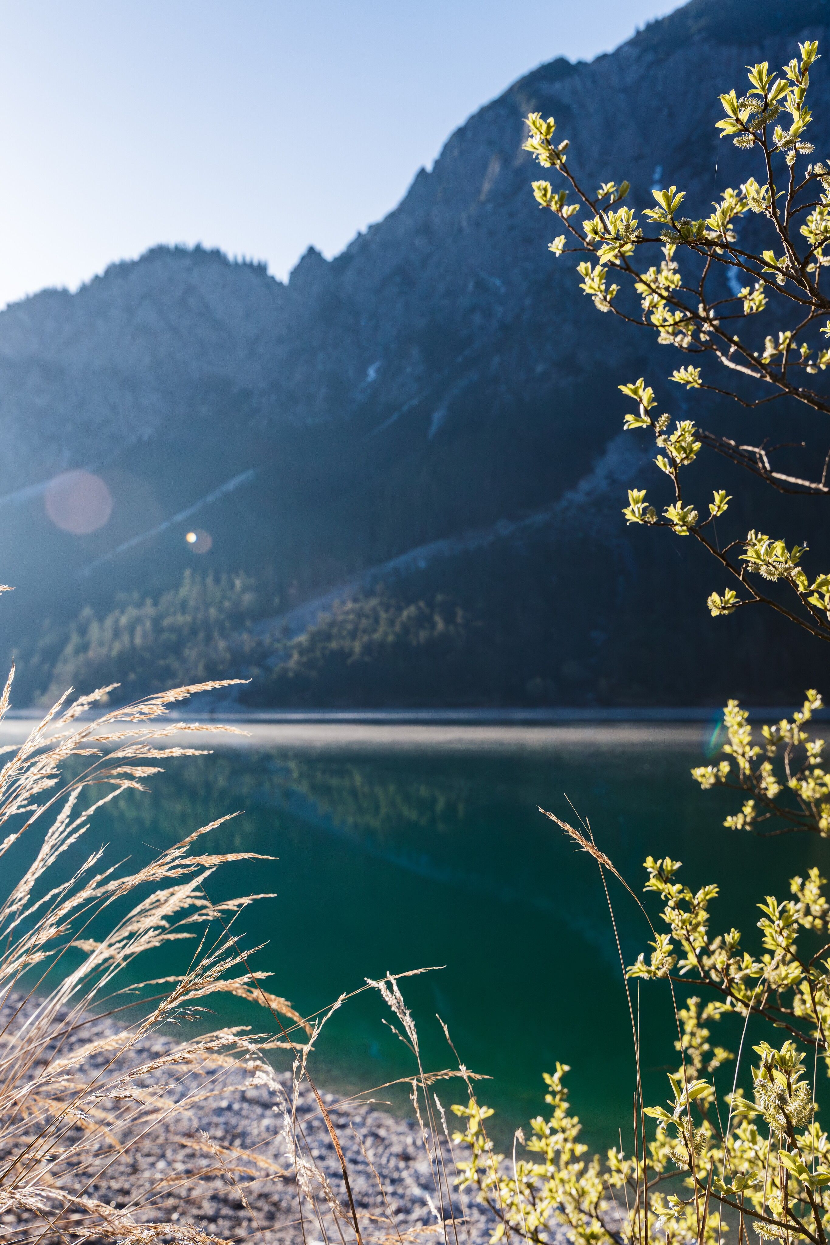
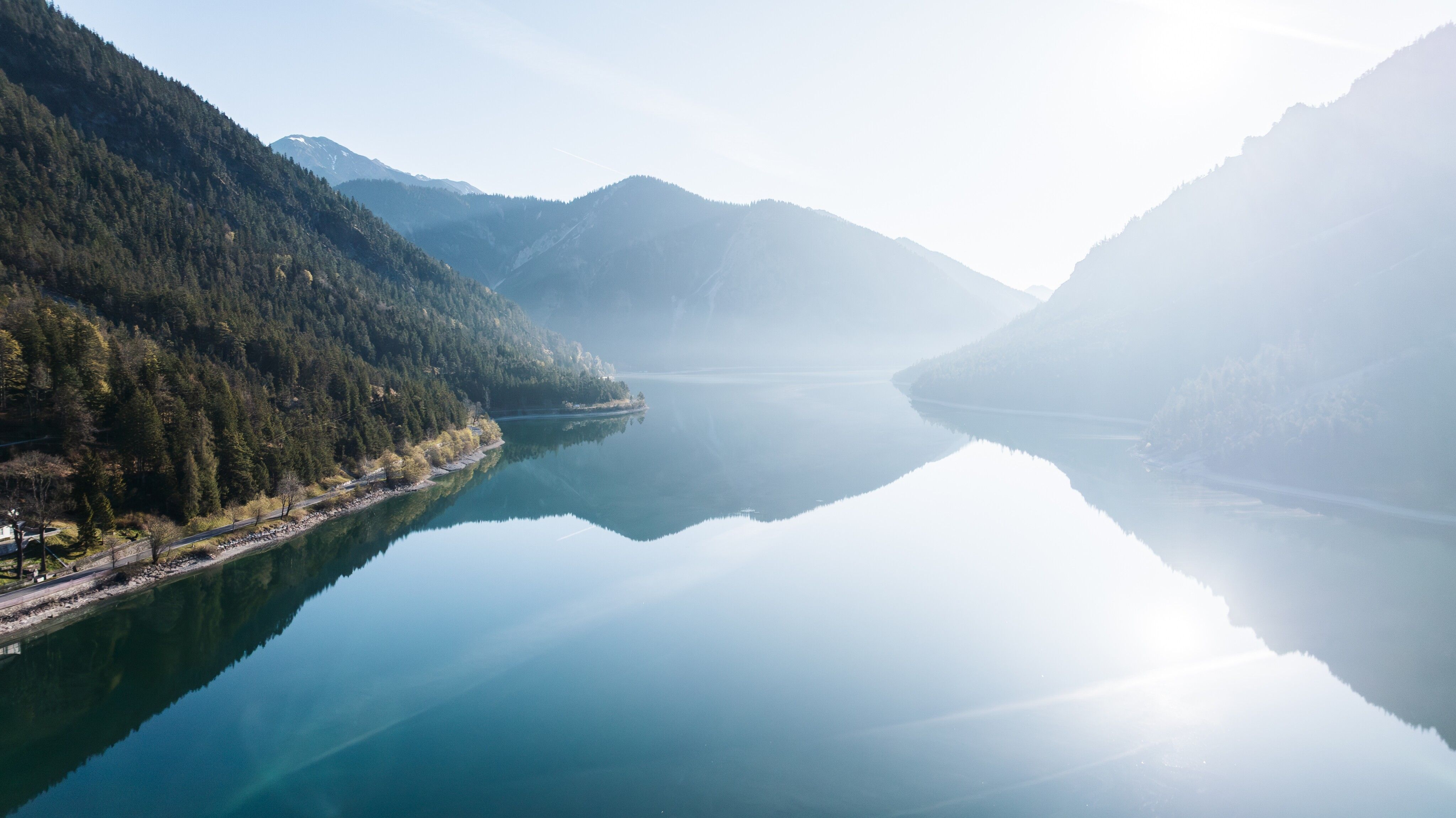
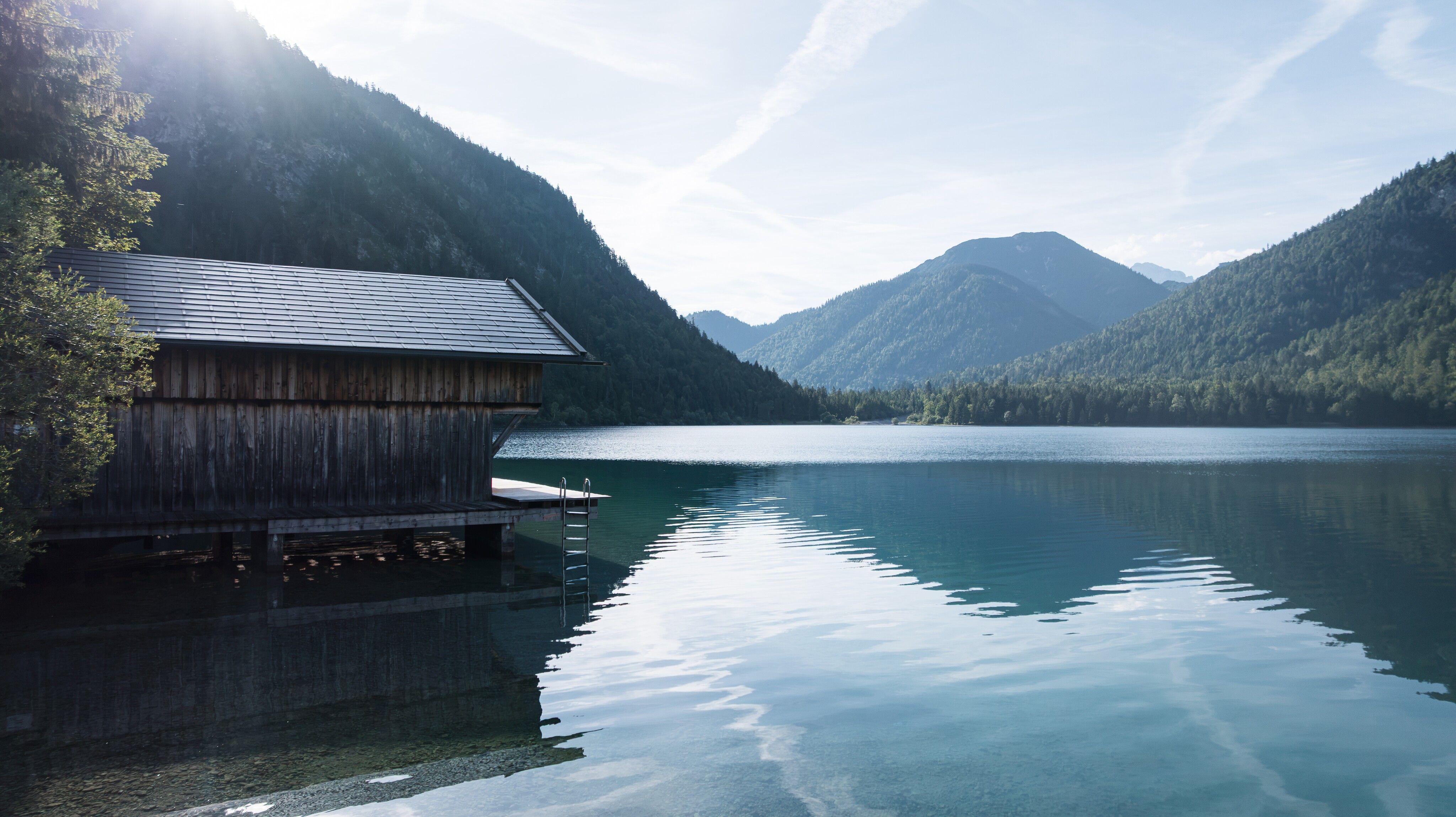
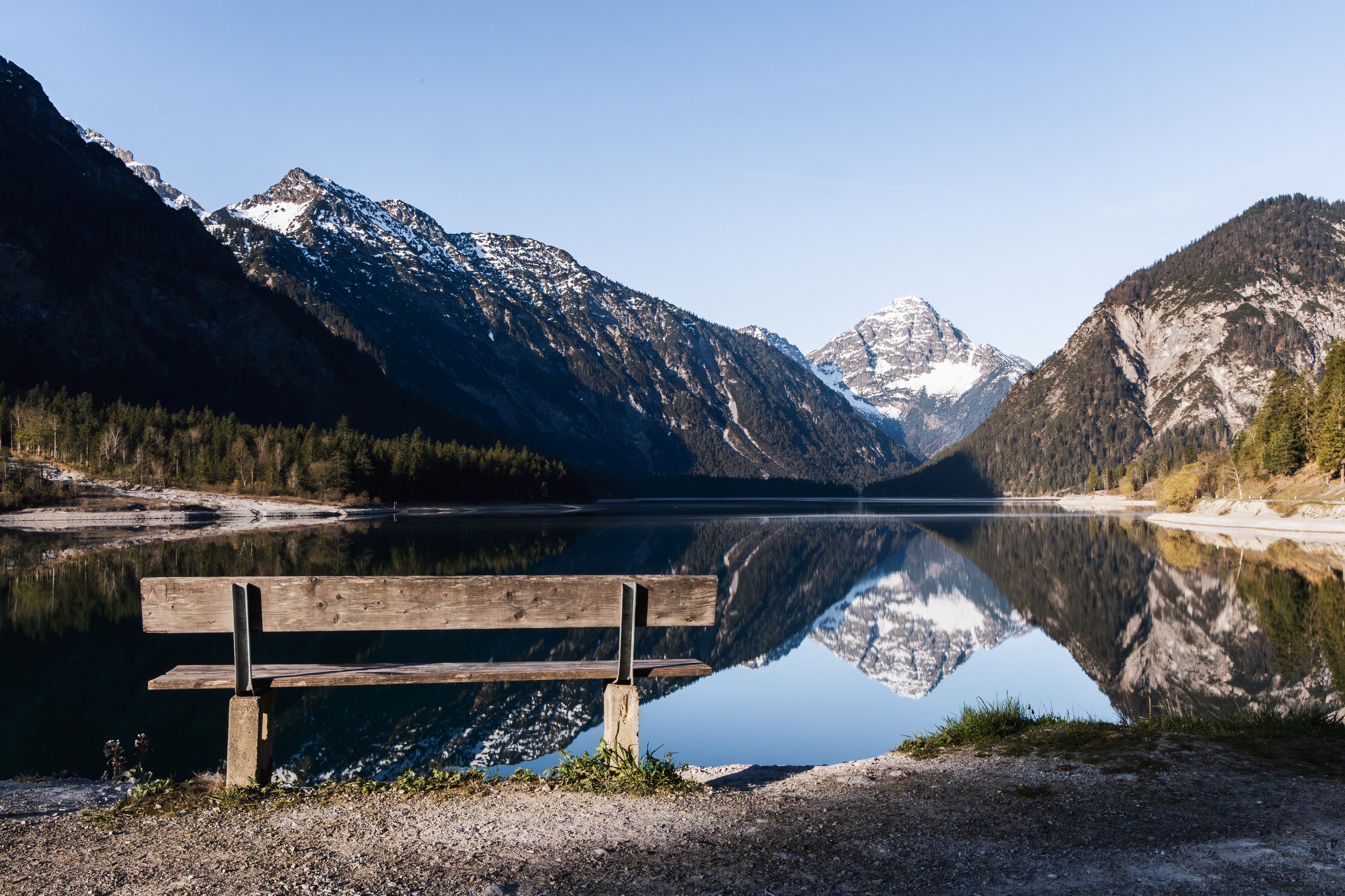
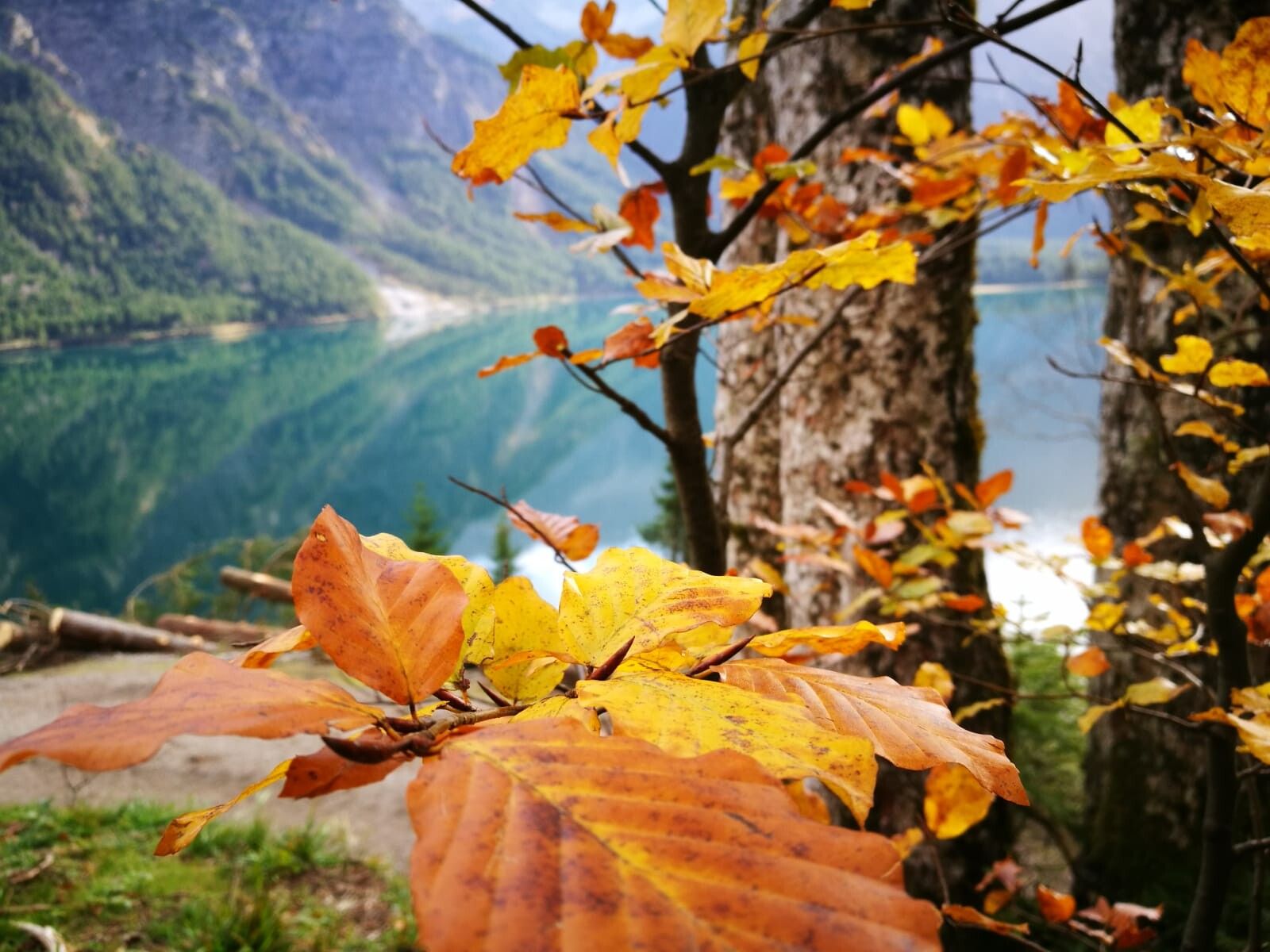
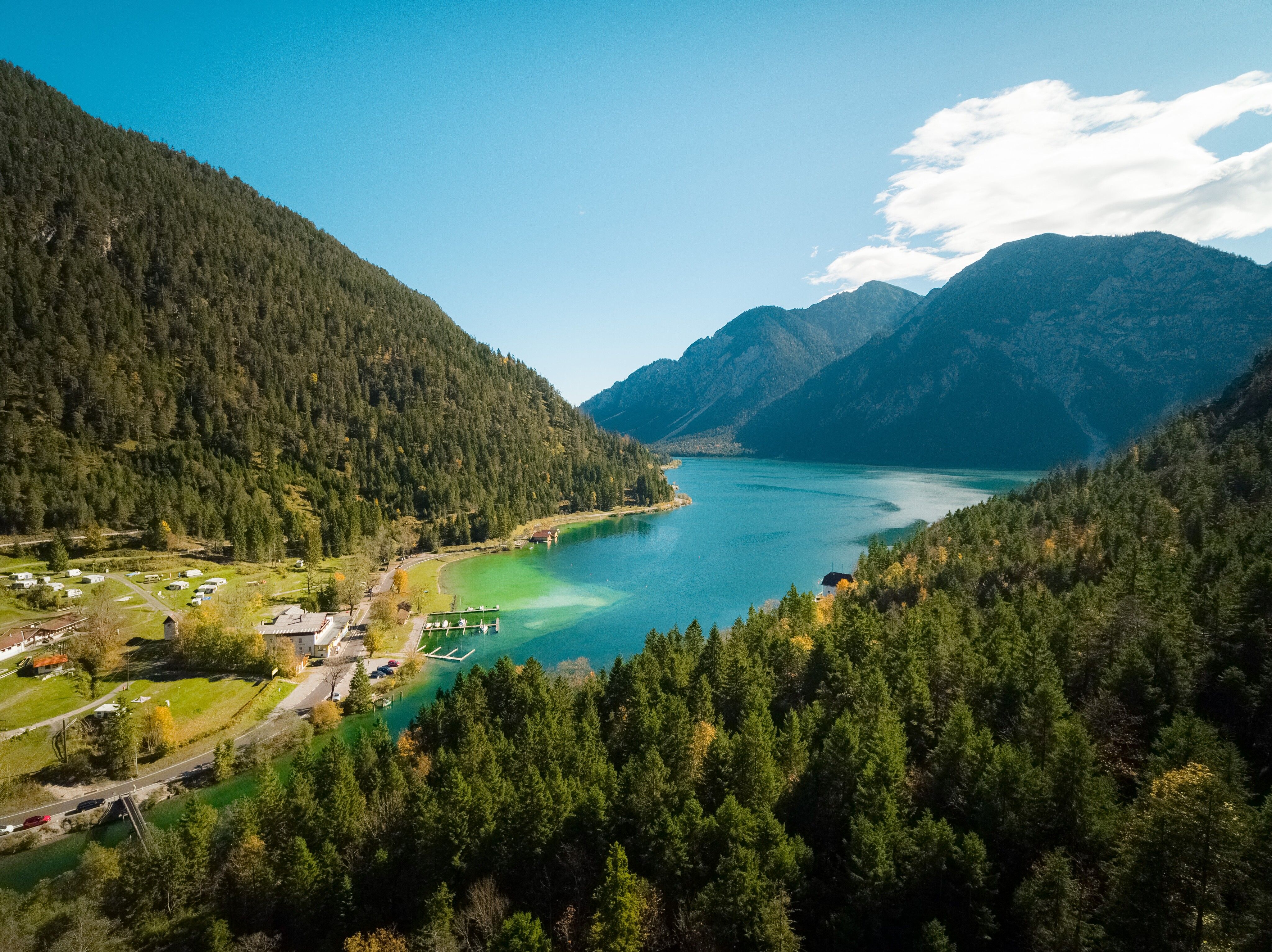
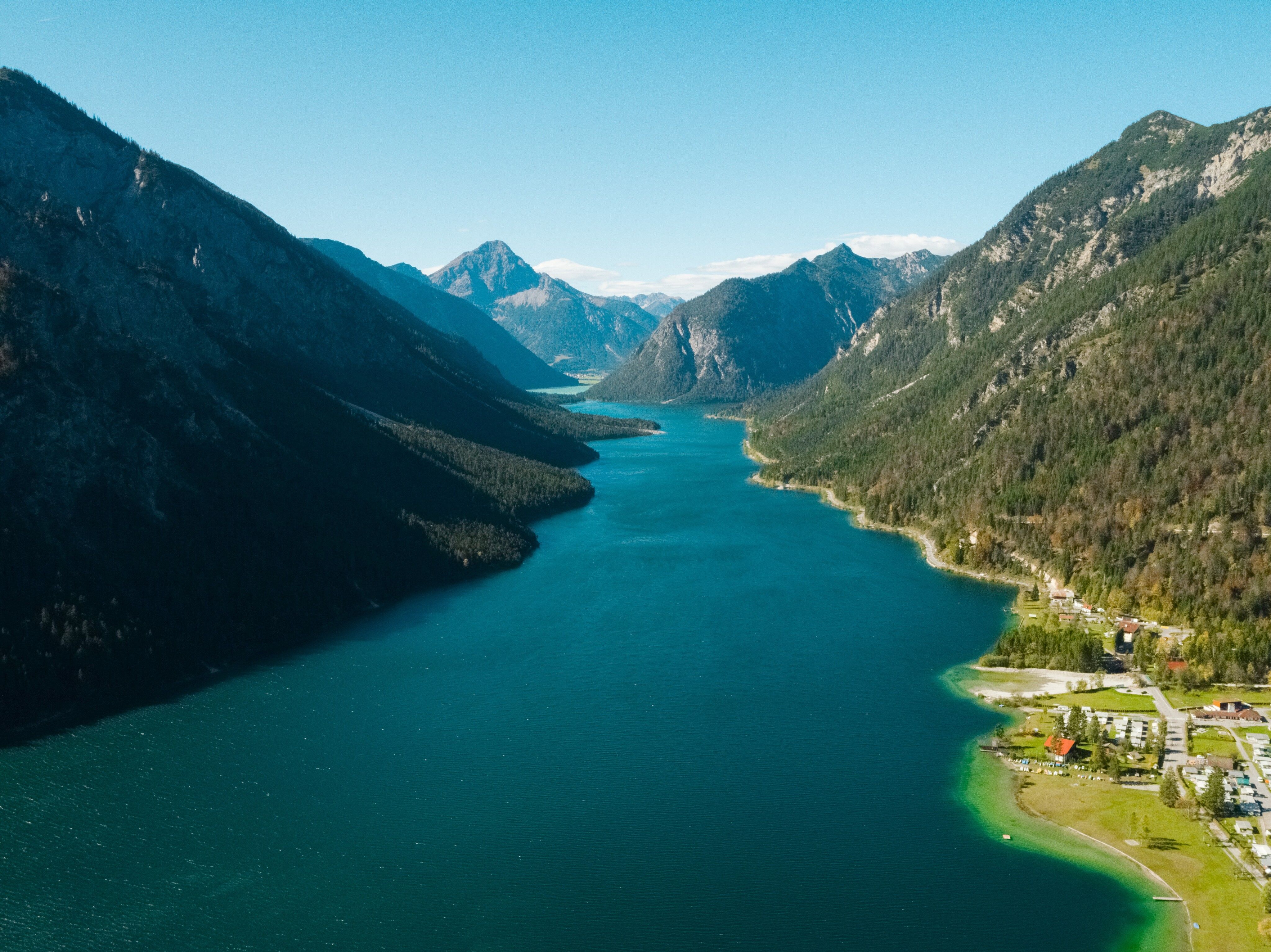
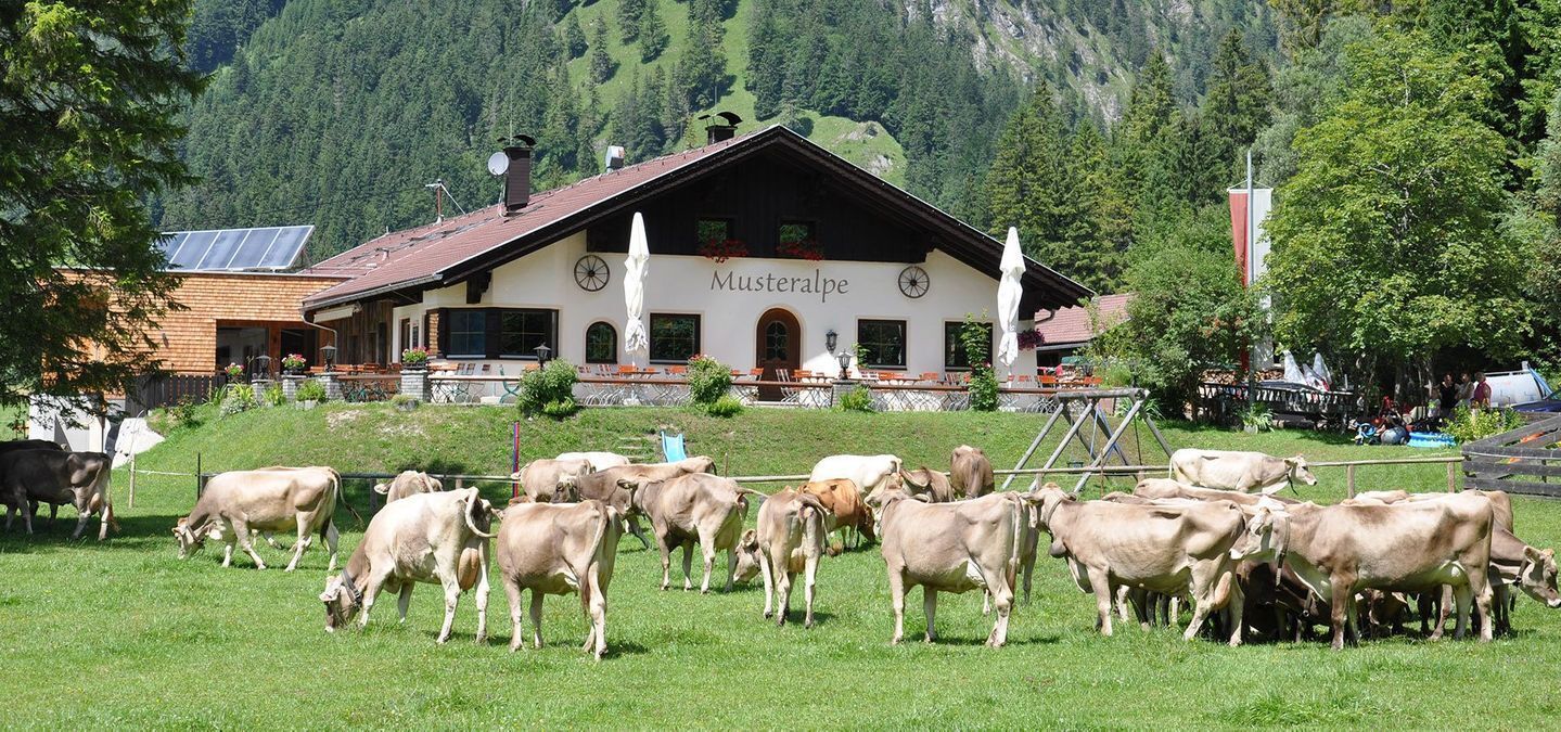

The hike starts at the Seespitze parking lot. Hike along the panoramic trail along the Zwieselberg to the eastern shore of the lake. After passing the Hotel Forelle, you will reach the Musteralm, a great place to stop for refreshments. Recharge your batteries and follow the path to Seewinkel. The path now leads along the shore to the canal bridge. After the bridge, turn right and walk to the new Seespitz bridge at the small Plansee lake. After crossing the bridge, turn right again and walk back to the starting point.
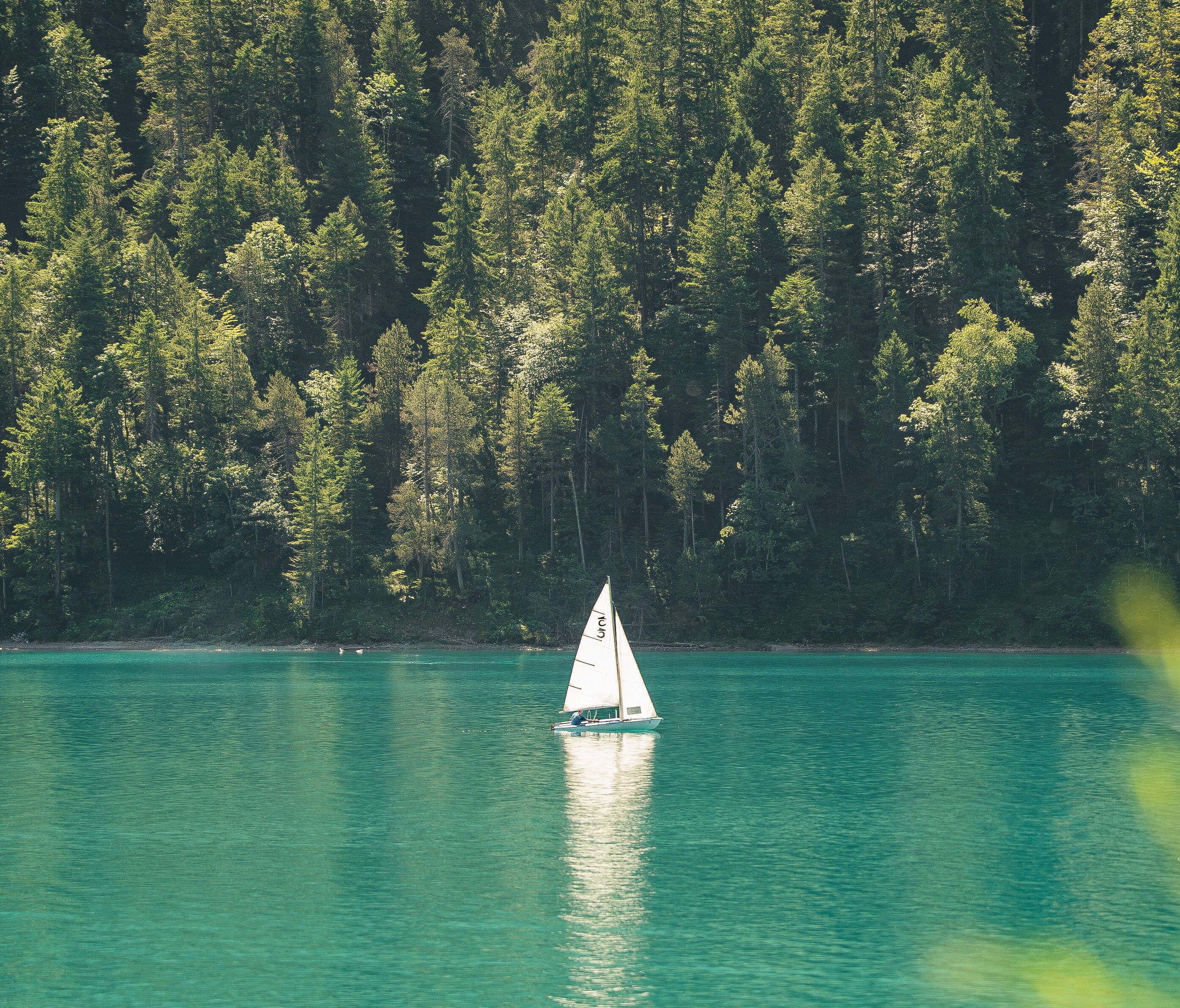
In summer, you can shorten part of the hike by boat. The landing stages are located at the Seespitze and Hotel Forelle, as well as at Hotel Fischer am See (Heiterwanger See). The sailing times of the boats depend on the weather and water level. Current opening and sailing times can be found on the Hotel Fischer am See website or at the tourist office.
Take the circular bus line 319 to the “Breitenwang Plansee Seespitze” stop. Timetables and bus stops can be found at: Circular Bus Line 319
Alternative option: RegioFlink on-demand shuttle – the flexible mobility service provided by VVT
The Reutte Nature Park Region can be reached by car as well as by public transport: Arrival & Mobility
Parking: Seespitz car park


