
Place:Oberhofen im Inntal
:Alpine pasture / hut / mountain restaurant:vegetarian
The Oberhofer Höhenweg trail
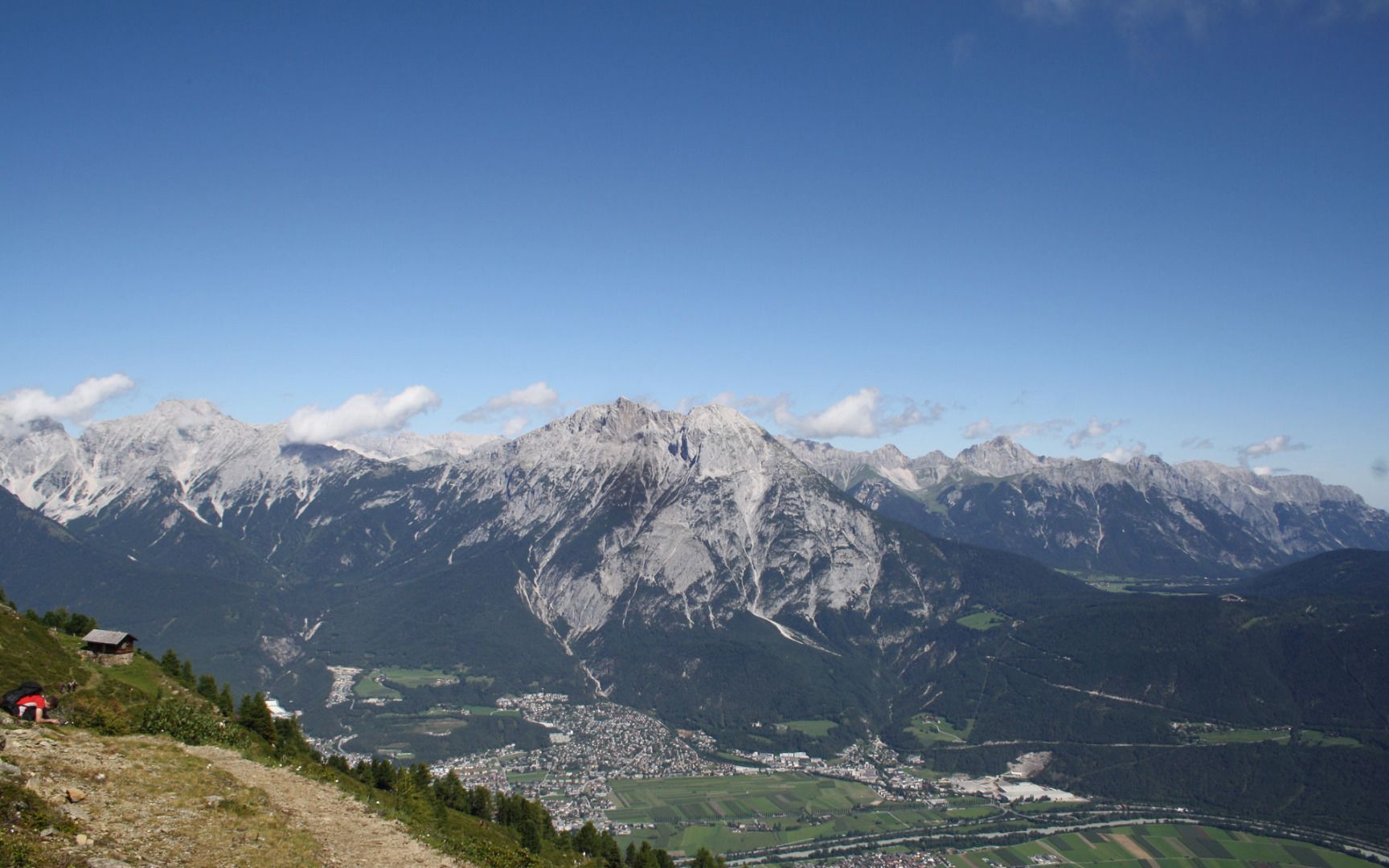
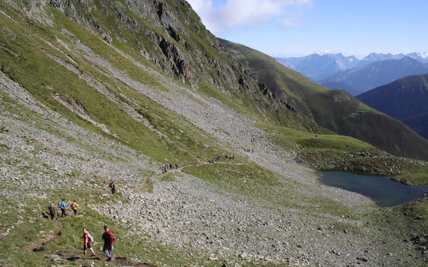
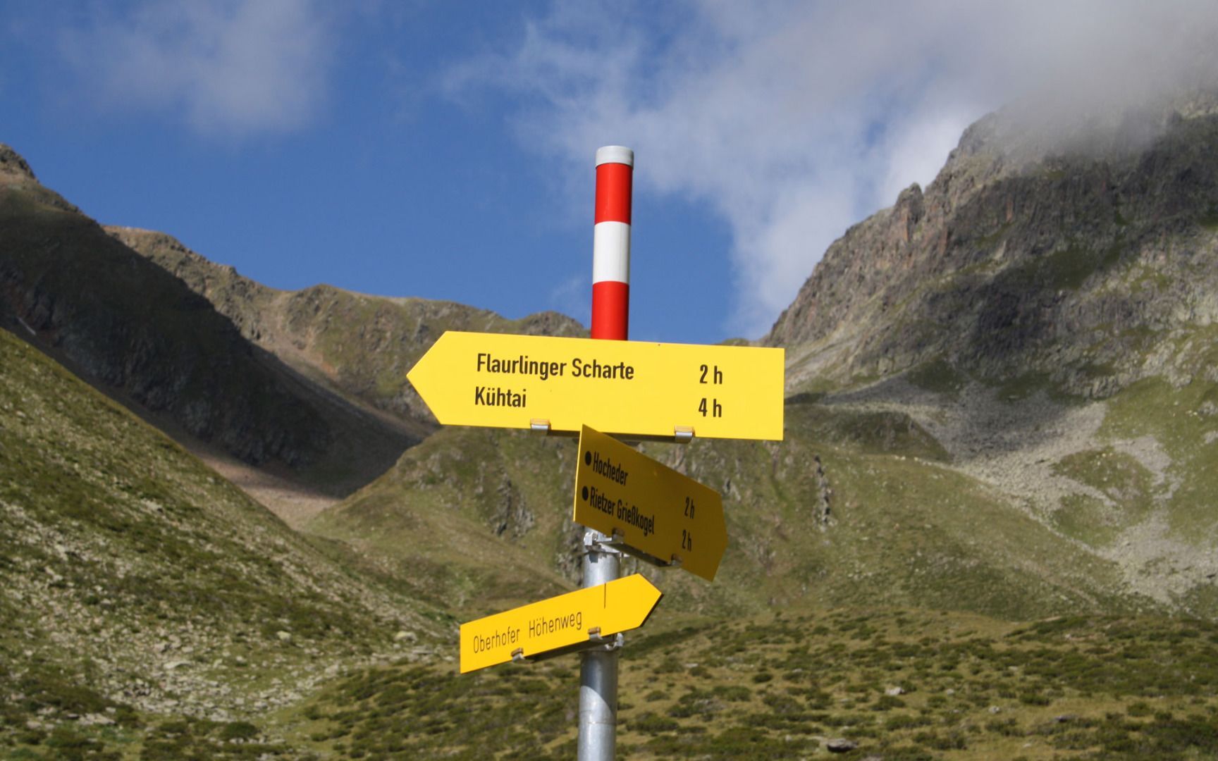
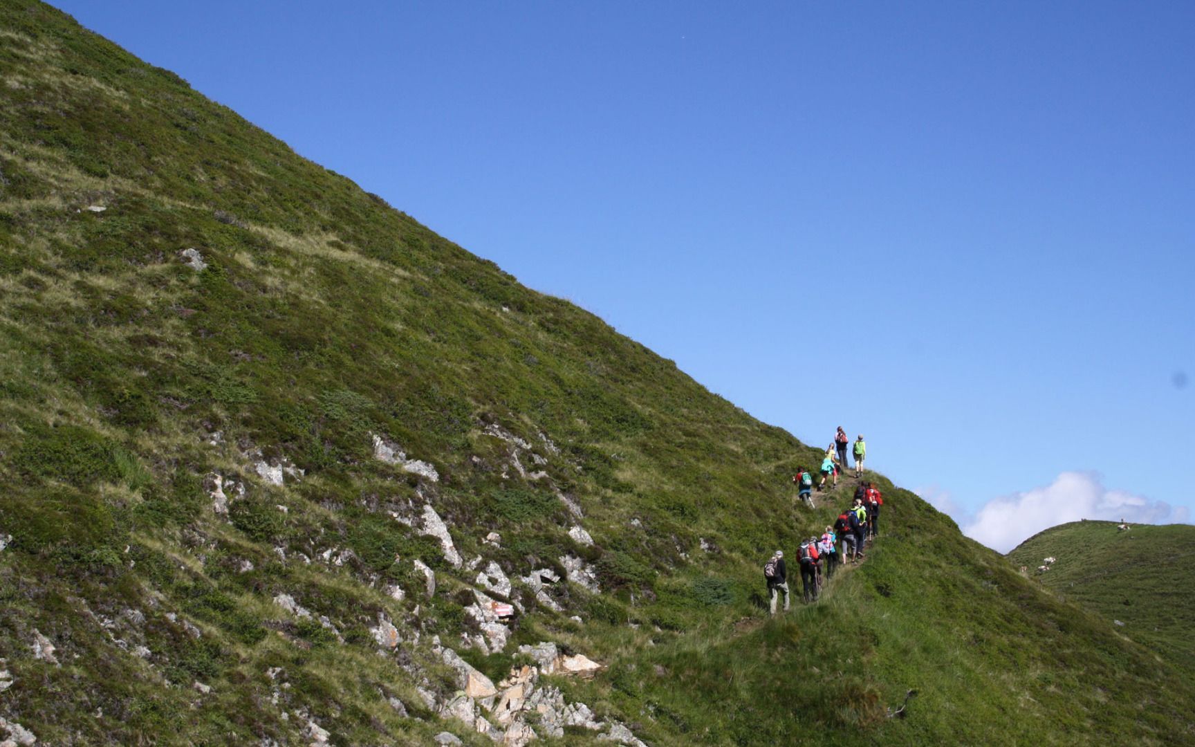
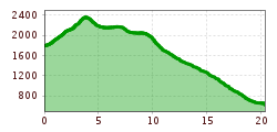
The Oberhofer Höhenweg trail leads from the Sellrain Valley to the Inn Valley. There are two possible starting points: the Zirnbachalm mountain hut near Kühtai or the car park and bus stop located between the snow sheds (the avalanche structures that protect the road) on the L13 road. Either way, the route starts by following a narrow path uphill to the Flaurlinger Scharte (2,400 m). On the Inn Valley side, the route then leads to the Oberhofer Melkalm hut (1,700 m), where you get wonderful views down into the valley. It is important to keep an eye on the time because there are no places to stay along the way. From the Oberhofer Melkalm hut, the route leads downhill to the village of Oberhofen.
Return journey: You can get back to the start of the hike on public transport.


