
Arrival by public transport
By train to Sonthofen, Pfronten/Ried or Reutte, then by bus to Grän.
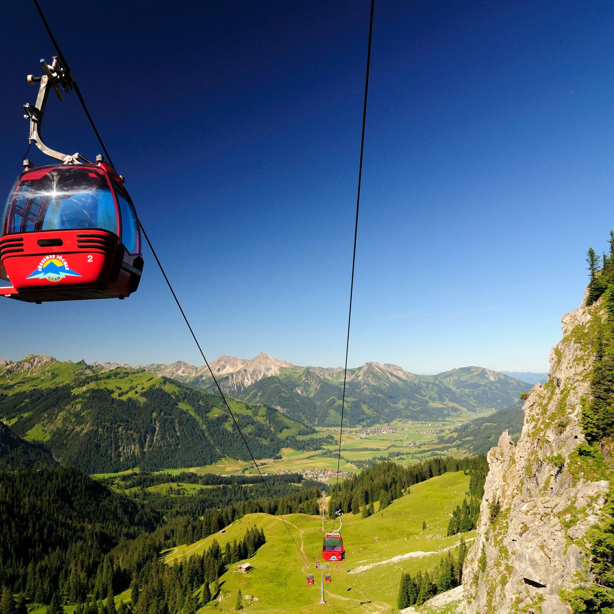
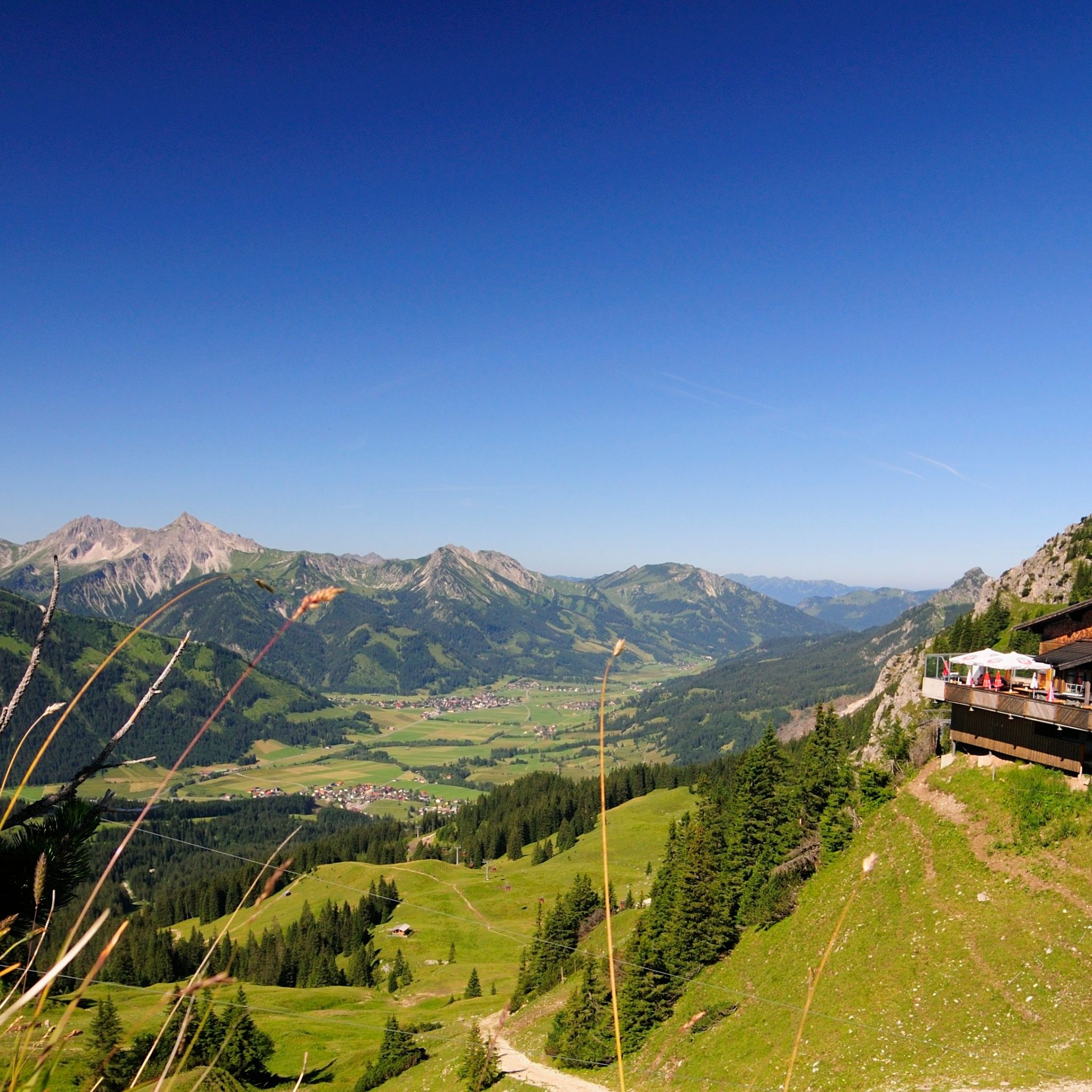
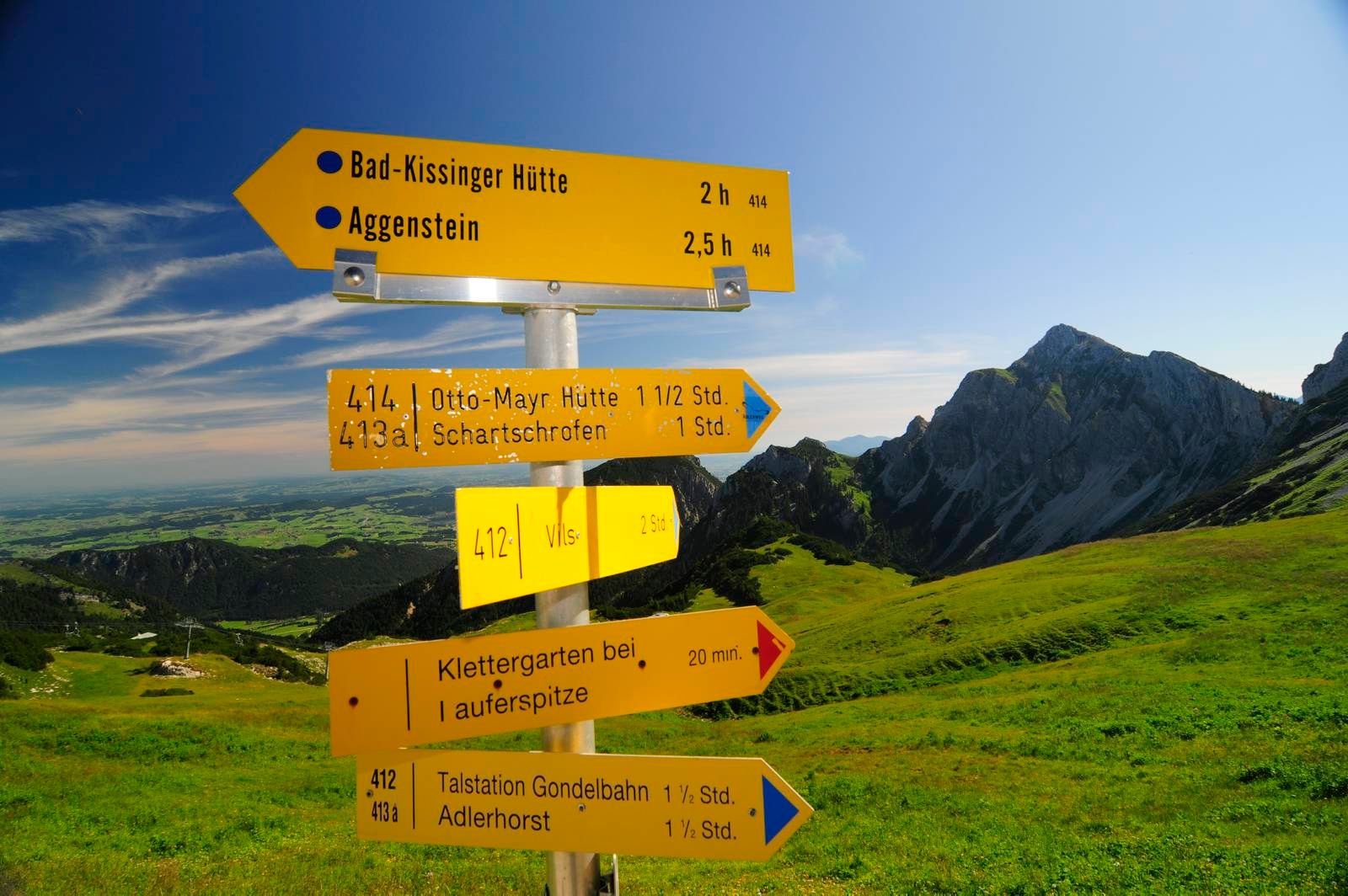
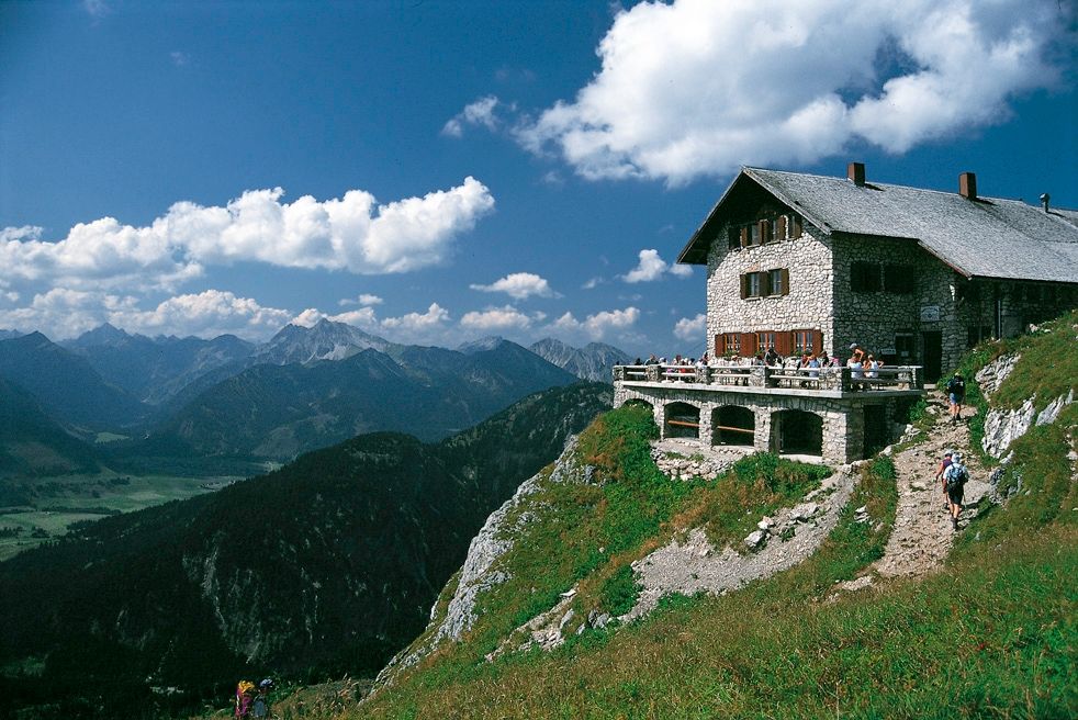
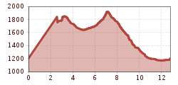
Wonderful high-altitude hike over the Gräner Höhenweg.
Please note that alpine sports can involve an increased risk of accidents and injuries. Despite careful route planning, there is always a basic risk. Preparation through endurance training, corresponding technical training and further education as well as personal caution reduces the risk of accidents and dangers. But please never forget that the weather in the mountains can change very quickly. Stay on the marked hiking trails.
Personal alpine sports equipment must be safe and functional and meet the respective technical standard. Every hiker is recommended to inform themselves about the planned routes in alpine literature or locally.
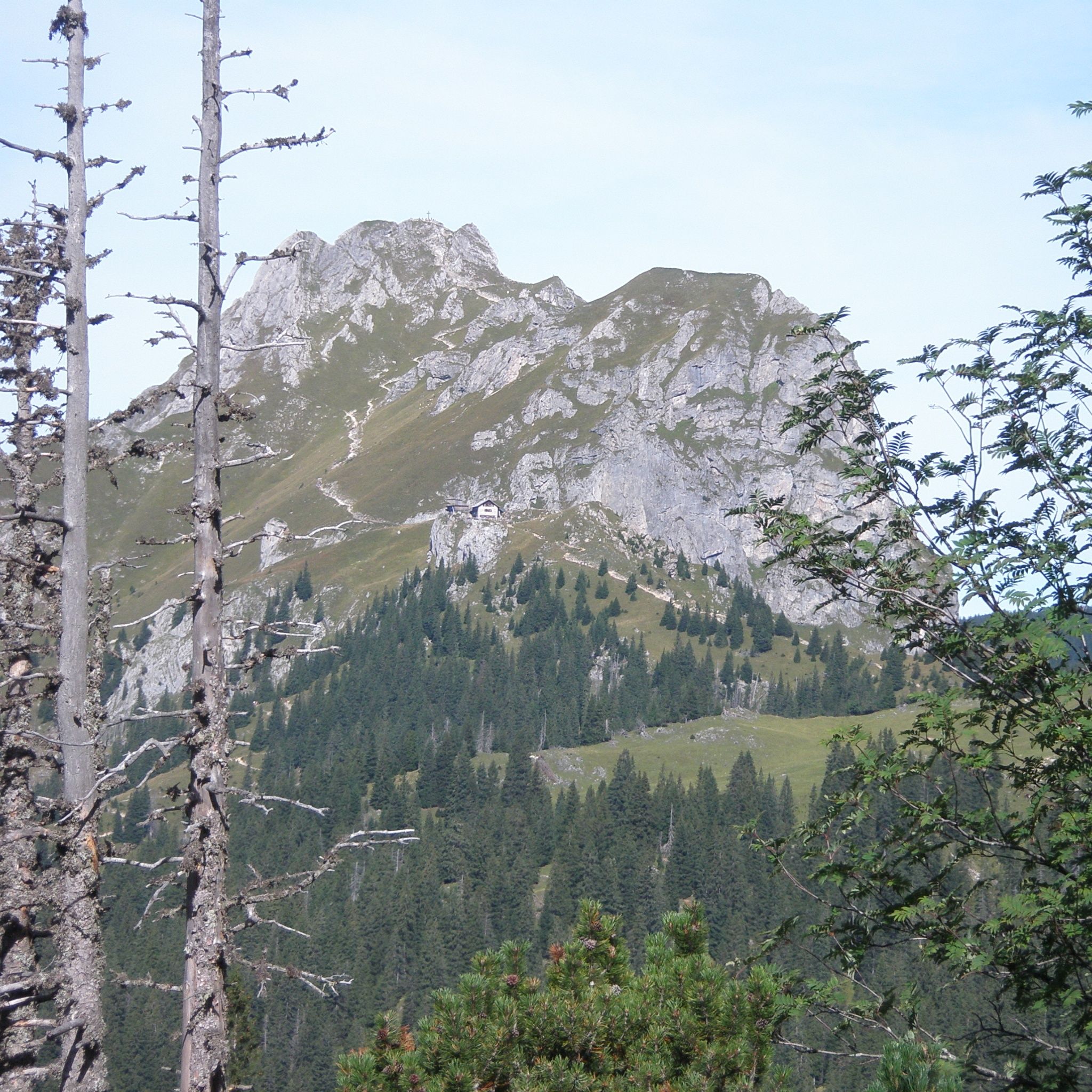
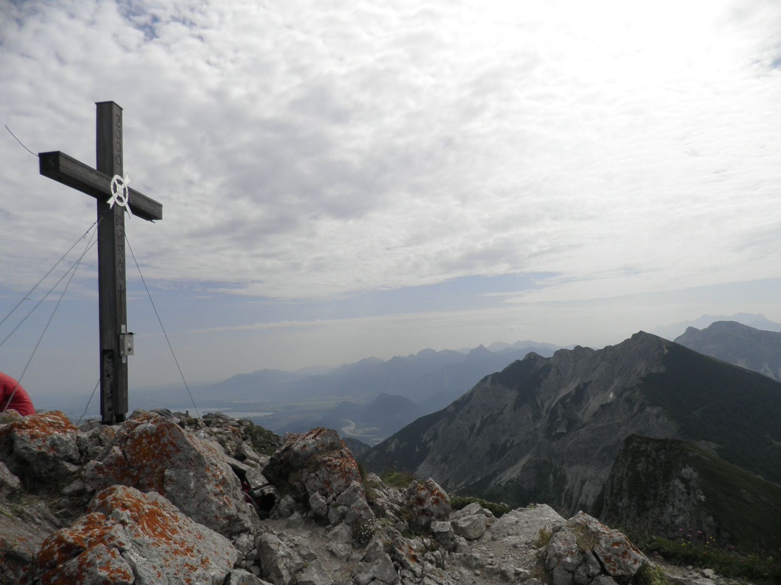
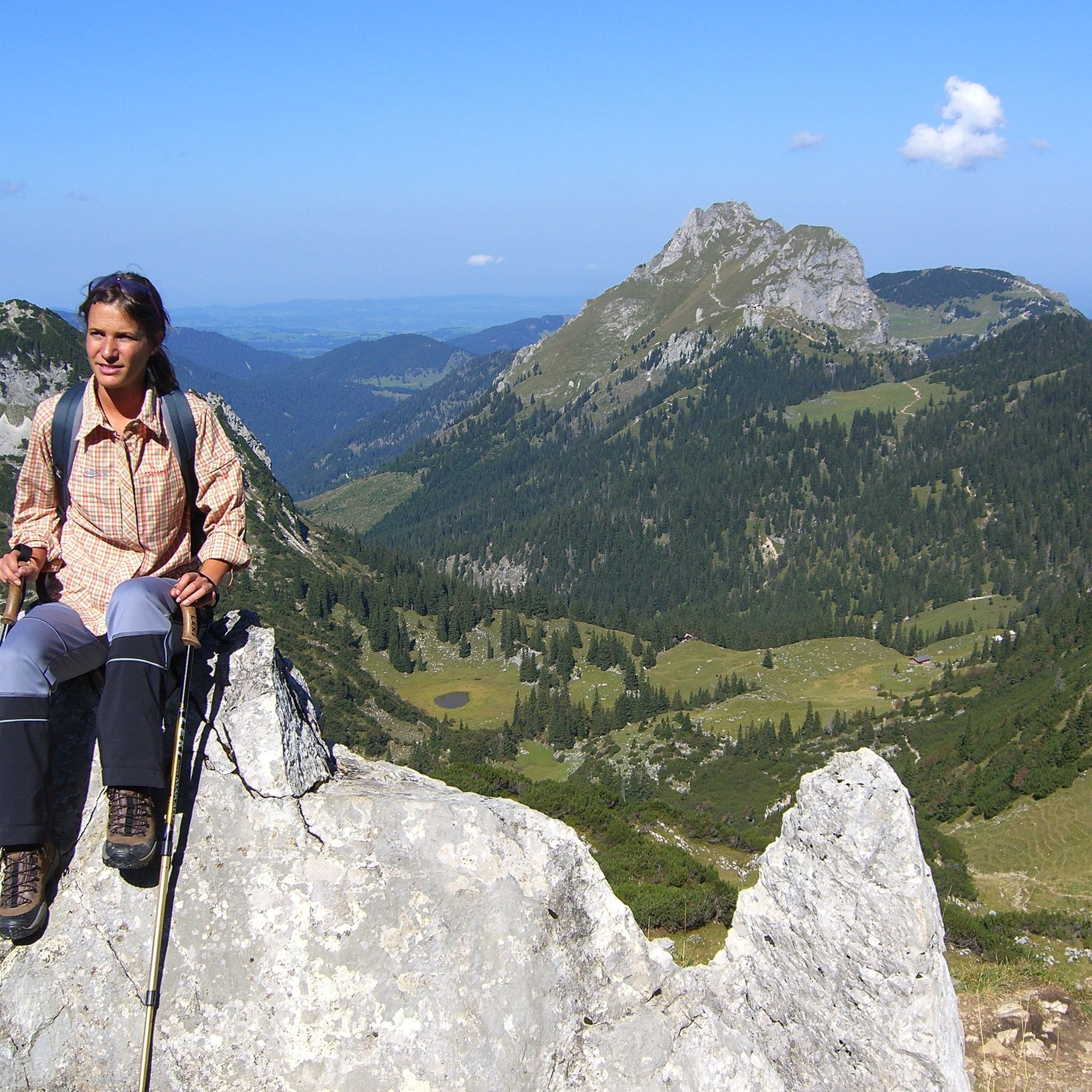
Certainly one of the most beautiful routes in the Tannheimer Tal. This dreamlike pleasure hike makes the hiker's heart beat faster. From the alpine rose to the gentian, this hike offers a wonderful insight into the flora and fauna of the mountains. Not only the mountain flowers distinguish this hike. Along the entire Gräner Höhenweg you can enjoy the wonderful view of the Tannheimer Tal and the surrounding area. As a crowning highlight, thesummit climb to the Aggenstein awaits.
By train to Sonthofen, Pfronten/Ried or Reutte, then by bus to Grän.
On highway A7 at the "Oy-Mittelberg" exit onto B310 towards Wertach and then to Oberjoch. There follow the signposts "Tannheimer Tal" B199, exit Grän, parking lot in the district Enge.From the Tyrolean side via Reutte on B198 towards Lechtal to Weißenbach, via Gaichtpass along B199 to exit Grän, parking lot in the district Enge.
You can park at the lift parking lot Füssener Jöchle - free of charge


