Mountain hikes Vorderhornbach - Grubachspitz

Vorderhornbach / Allgäuer Alpen
Difficulty ratings: medium
Route length: 5.5 km

The Grubachspitze is a very beautiful panoramic mountain, a great family tour.

Tour information

  • Requirement: medium
  • Length: 5.5 km
  • Elevation uphill:1,124 hm
Highest point2,088 m

Starting point

Parking lot at the town hall

Finishing point

Grubachspitze
  • Fitness level 3 / 6
  • Technique 3 / 6

Best time of year

  • January
  • February
  • March
  • April
  • May
  • June
  • July
  • August
  • September
  • October
  • November
  • December

Trail condition

Asphalt, gravel path, hiking trail

Equipment

Good equipment is essential for your hike. The following items should definitely be in your rucksack: - Food and drink - Functional clothing for rain, wind and cold - A change of clothes - Sun protection - First aid kit - Mobile phone with a full battery (Euro emergency number 112) - Hiking map or GPS - Hiking poles Nevertheless, the following applies: light luggage is also easier to carry, so you should not weigh down your rucksack with unnecessary ballast. In addition, your hiking equipment should of course also be adapted to your particular hiking tour.
Source: Lechtal-Reutte

Description

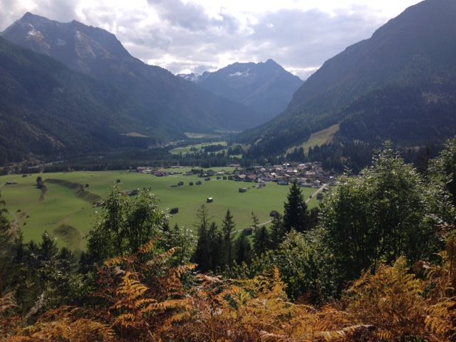
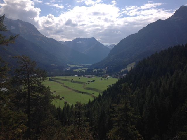
Walk from the village hall in the direction of Hinterhornbach and at the end of the village turn right to the Schröfle settlement.
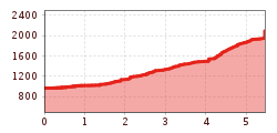
Past the settlement, your hiking trail then leads up to the waterfalls, your path then continues to the fir forest and up to the Schafkar. Very beautiful ascent to the summit at 2,100 m.

Getting here

  • Arrival by public transport

    Regional bus stop Vorderhornbach village

  • Parking

    Parking lot at the town hall, free of charge
     

More tours in the surrounding area

Newsletter

The mountain is calling? So does our newsletter!

In our monthly newsletter we reveal the best holiday tips for Tyrol.