
Arrival by public transport
By train to Sonthofen, Pfronten/Ried or Reutte, then by bus to Schattwald.
A hike following the traces of the "old smugglers"
It should be noted that there is an increased risk of accidents and injuries in mountaineering. Despite careful route planning, there is always a base risk. Preparing for the route through endurance training, appropriate technical training and education, as well as personal caution reduces the risk of accidents and dangers. But never forget that the weather in the mountains can change very quickly. Stay on the marked hiking trails.
Personal mountaineering equipment must be safe and usable and meet the current technical standards. Every hiker is advised to inform themselves about the planned routes in alpine specialist literature or on site.
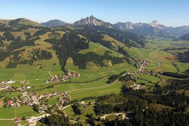
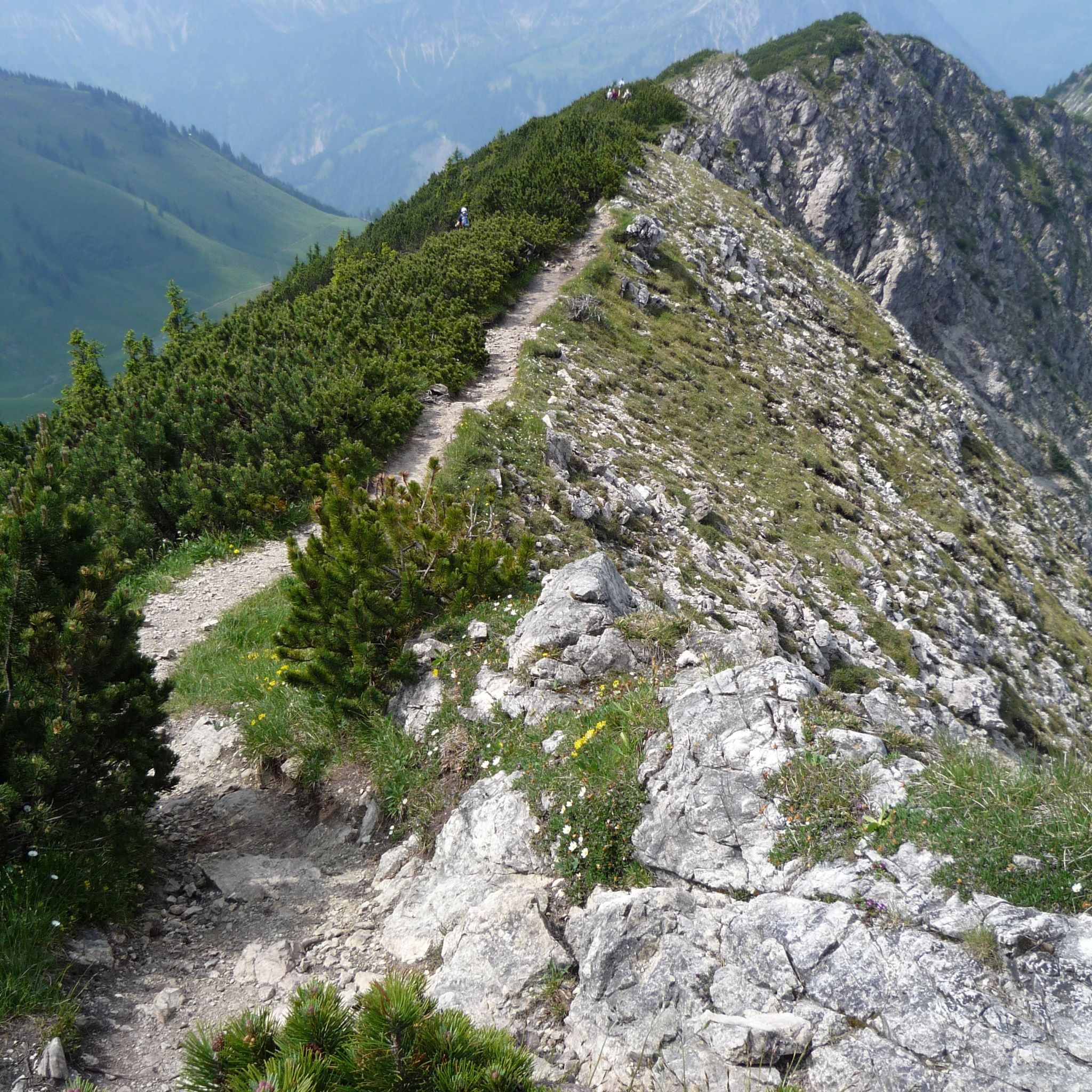
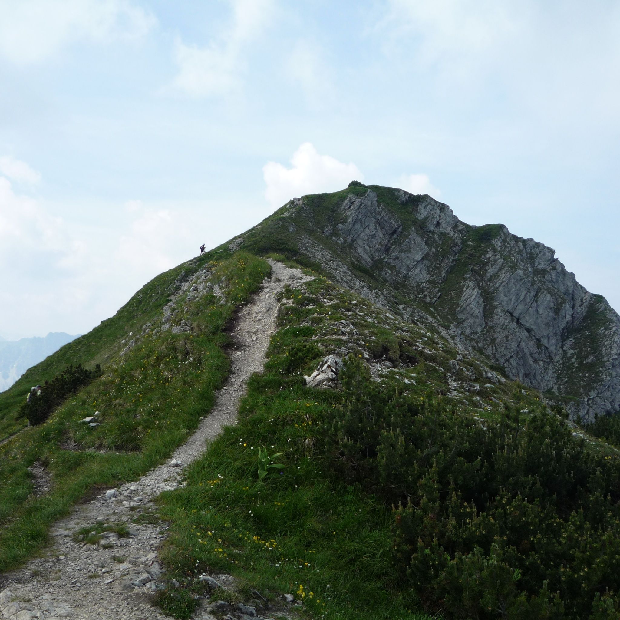
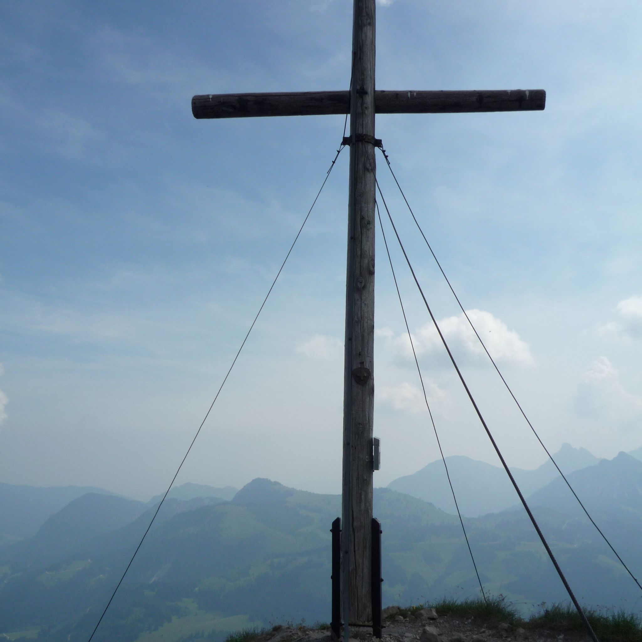
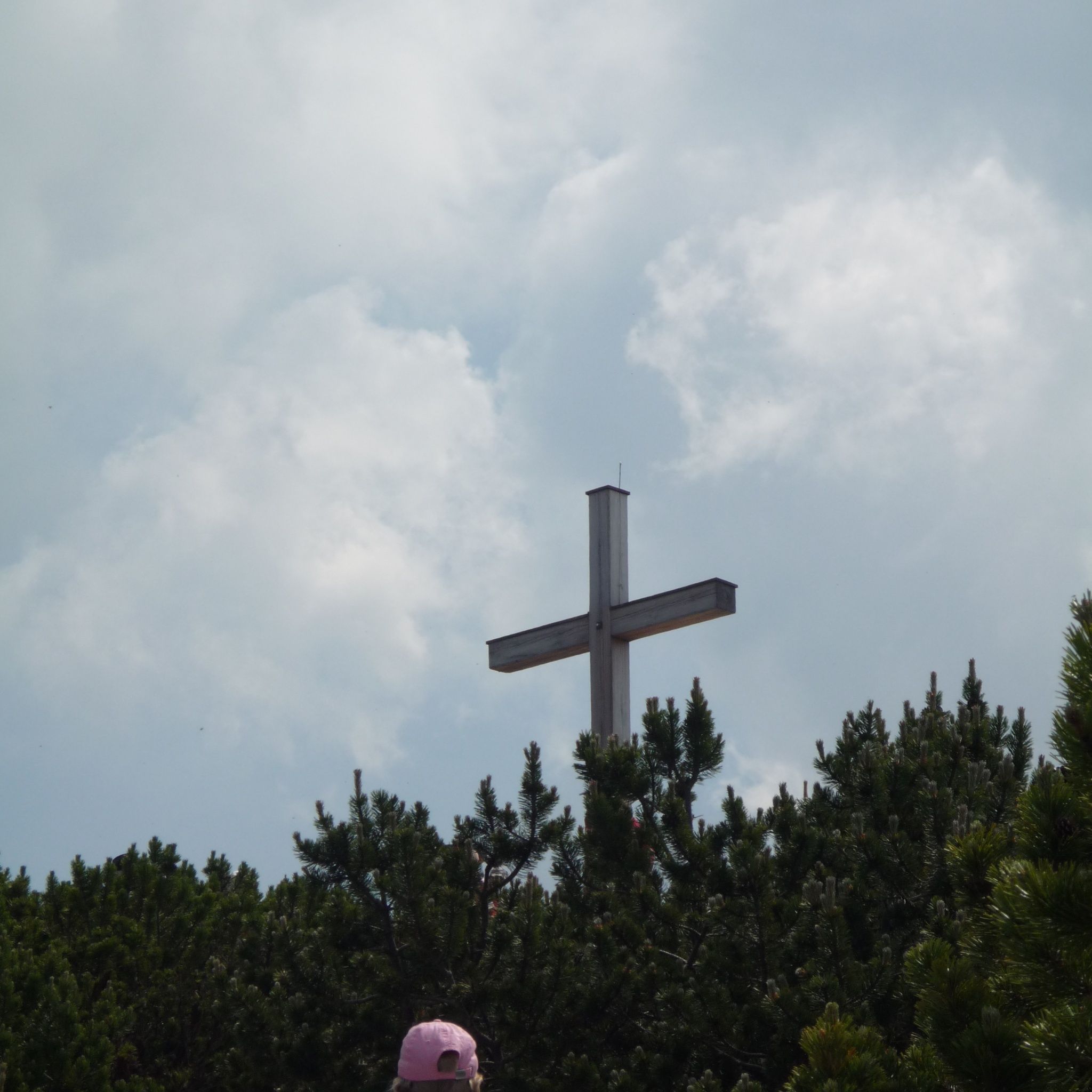
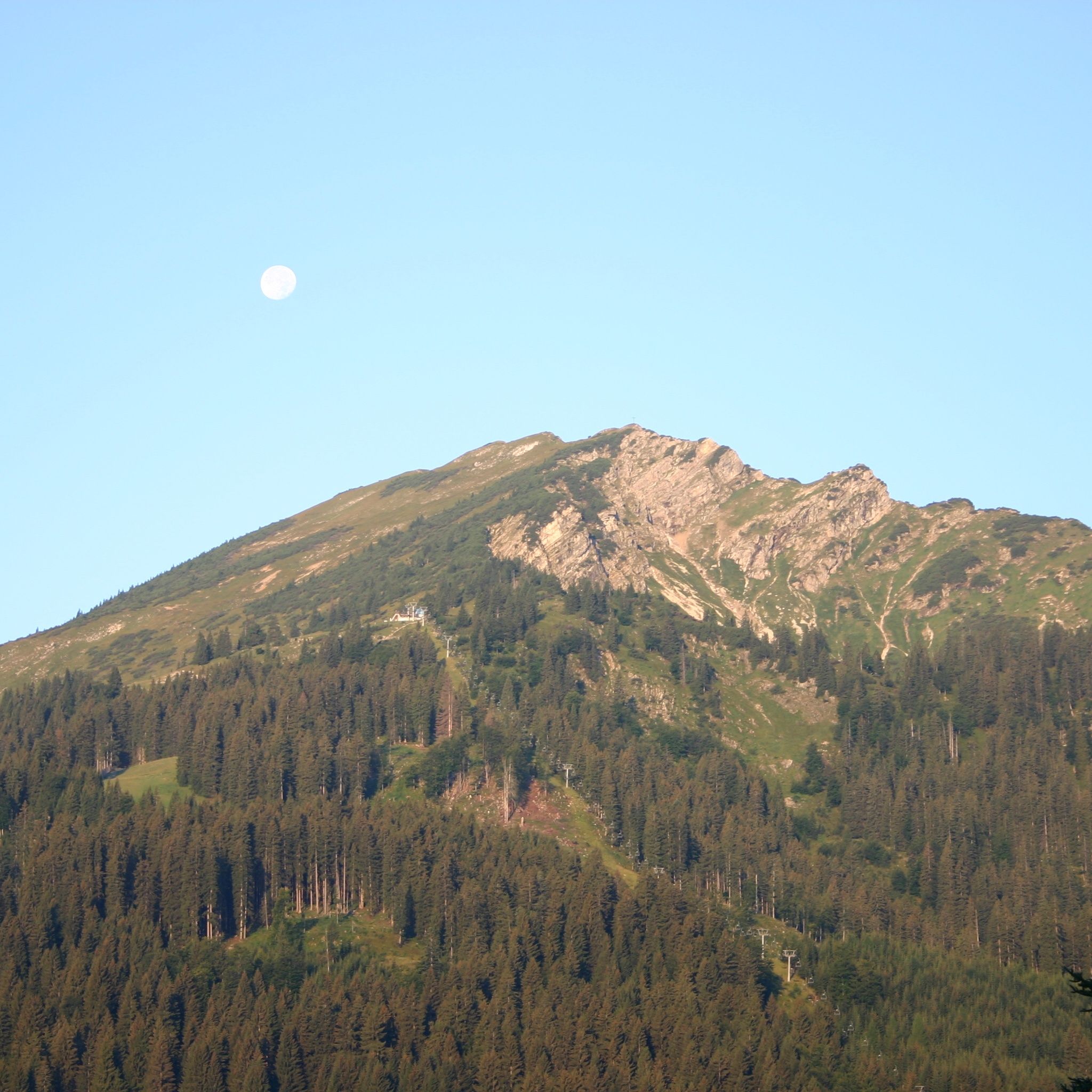
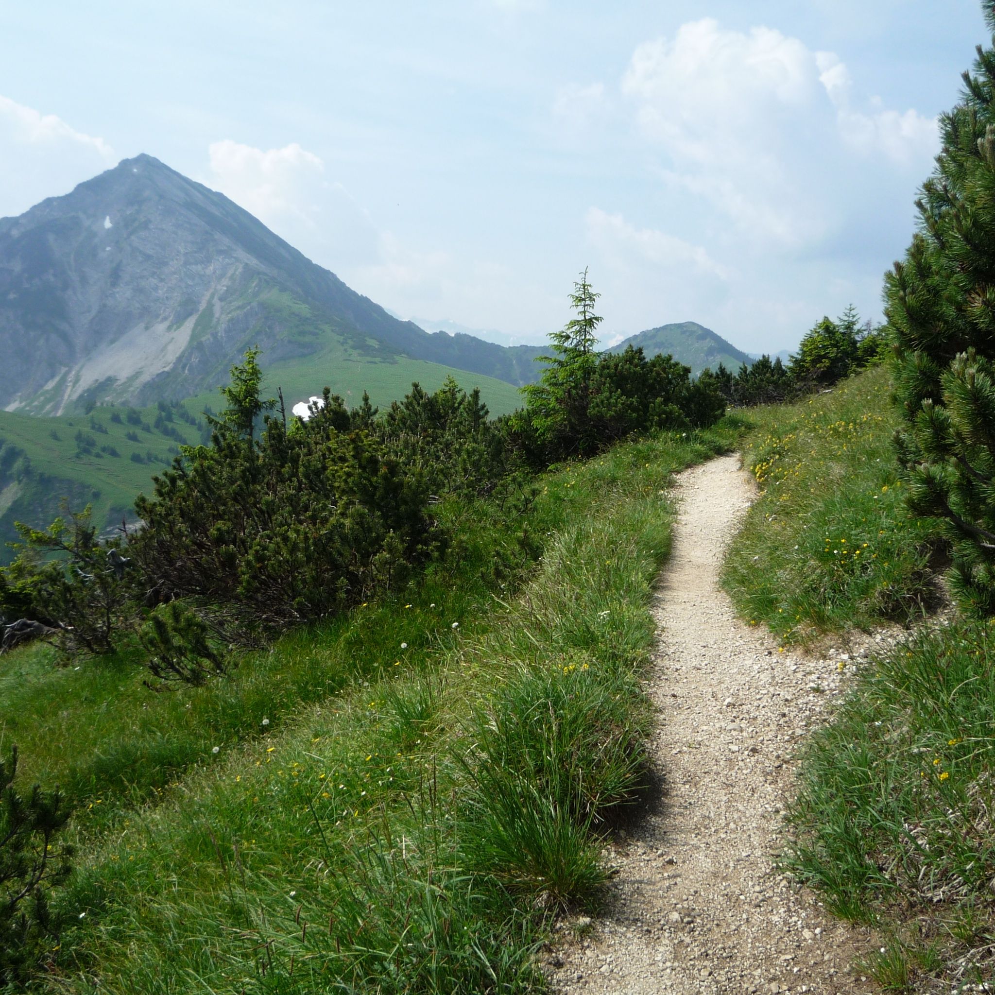
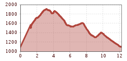
We are already standing at the mountain station of the Wannenjochbahn in Schattwald. The hiking trail is well signposted and already somewhat worn. The slope is moderately steep and can be walked without great difficulty. We quickly gain altitude and have already left the last dwarf pines behind us. Relatively late we see the summit cross, so the summit is reached after only a few minutes. At an altitude of 1852 m, we have an impressive view, almost to Lake Constance. The path continues now partly along the ridge. Moderate ups and downs, but maintaining the altitude and still with an impressive view. After almost an hour we reach the Iseler. After a break, we start the descent over the grass-covered slope to the saddle between Wannenjoch and Bscheißer. Looking towards the Wannenjoch, we see a straight clearing. Here runs the border between Austria and Germany. On the return journey we hike past the Zipfelsalpe and finally to the Stuibenalpe. From there we walk back along the Stuibenbach to Schattwald.
By train to Sonthofen, Pfronten/Ried or Reutte, then by bus to Schattwald.
On the A7 motorway at the "Oy-Mittelberg" exit on the B310 towards Wertach and Oberjoch. There follow the signposts "Tannheimer Tal" B199, exit Schattwald, direction Wannenjoch cable car.From the Tyrolean side via Reutte on the B198 towards Lechtal to Weißenbach, over the Gaichtpass along the B199 to exit Schattwald, direction Wannenjoch cable car.
You can park at the Wannenjochbahn in Schattwald


