Mountain hikes Wetterkreuz 2.229m

St. Jakob im Defereggental / Villgratner Berge
Difficulty ratings: medium
Route length: 6.0 km
Duration: 5:30 h

Wetterkreuz 2.229m

Tour information

  • Requirement: medium
  • Length: 6.0 km
  • Duration: 5:30 h
  • Elevation uphill:820 hm
  • Elevation downhill:830 hm
Highest point2,208 m

Starting point

Junior high school St. Jakob

Finishing point

Wetterkreuz
  • Fitness level 3 / 6
  • Technique 2 / 6

Best time of year

  • January
  • February
  • March
  • April
  • May
  • June
  • July
  • August
  • September
  • October
  • November
  • December
Source: TVB Osttirol

Description

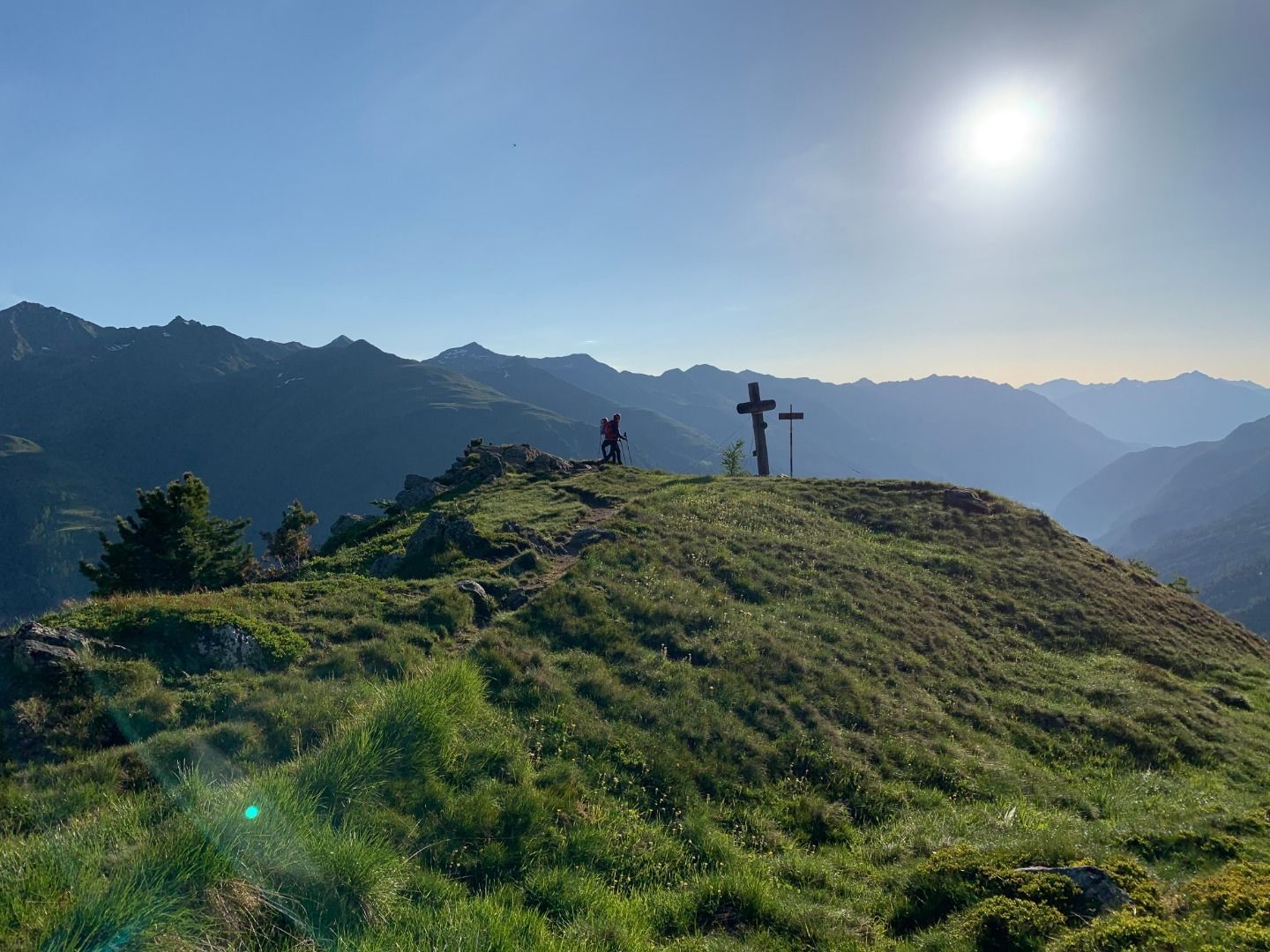
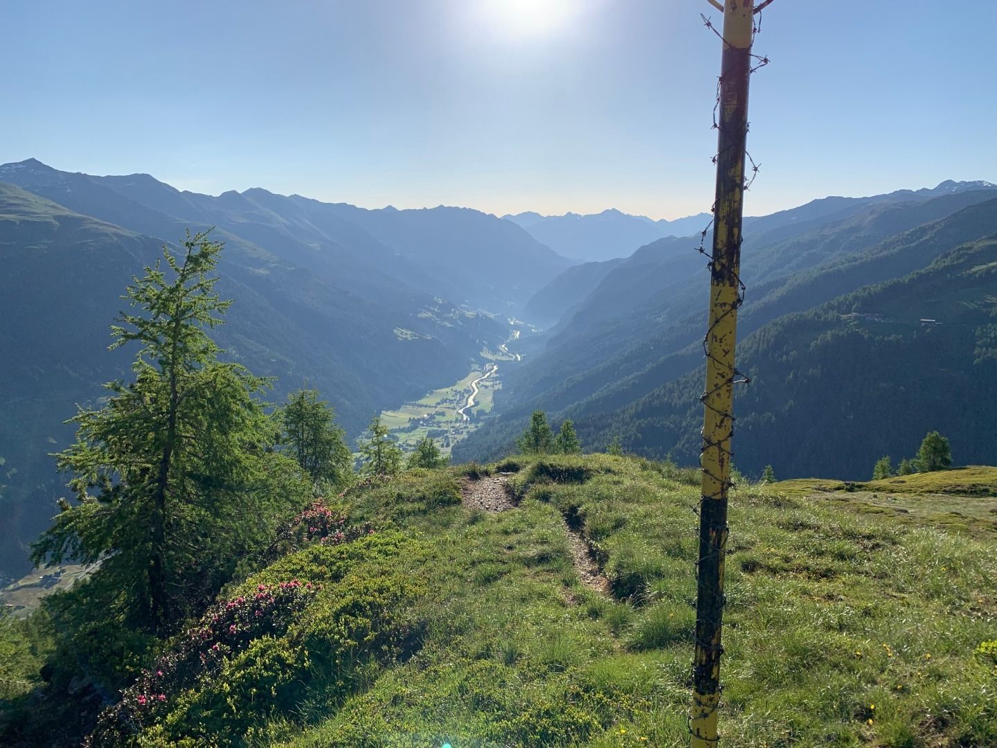
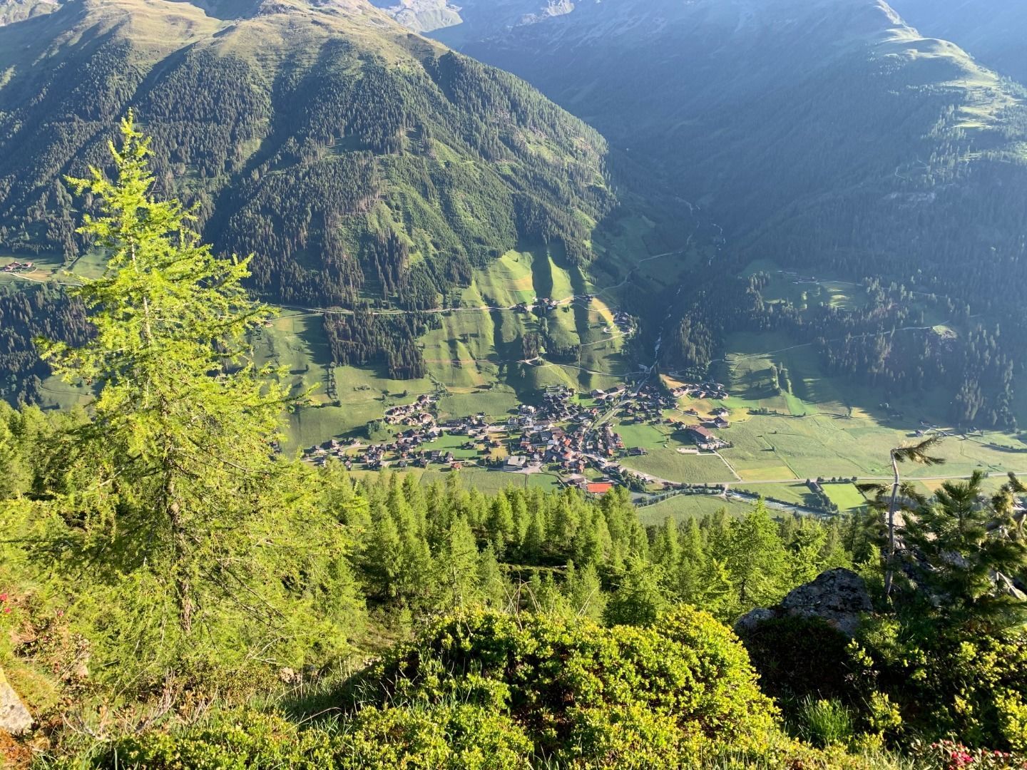
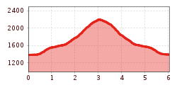
The Wetterkreuz (weather cross) is situated on the north-east ridge of the Langschneid. This summit provides a superb viewing area, with lovely views down into St. Jakob. From St. Jakob (847 metres altitude) – from the new secondary school in St. Jakob to the junction with signposts, via a steep and strenuous path up into the forest and the Wetterkreuz.

Getting here

  • Arrival by public transport

    Bushaltestelle St. Jakob i. D. Gemeindeamt

  • Parking

    Mehrere Parkmöglichkeiten direkt im Ort von St. Jakob

More tours in the surrounding area

  • Hike to Jagdhausalm 2.009m

    Difficulty: easy
    Length: 16.6 km Duration: 5:00 h Elevation uphill: 400 m
  • Oberseitsee - Seespitze 3.021 m

    Difficulty: difficult
    Length: 14.4 km Duration: 8:30 h Elevation uphill: 1,310 m
Newsletter

The mountain is calling? So does our newsletter!

In our monthly newsletter we reveal the best holiday tips for Tyrol.