

Difficulty:difficult
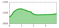
Length:12.8 kmDuration:5:20 hElevation uphill:934 m
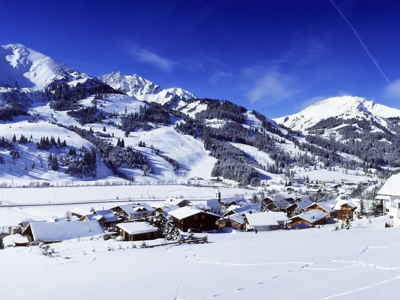
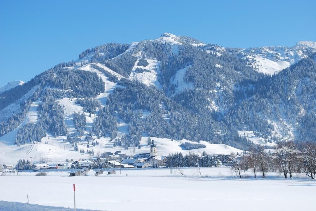
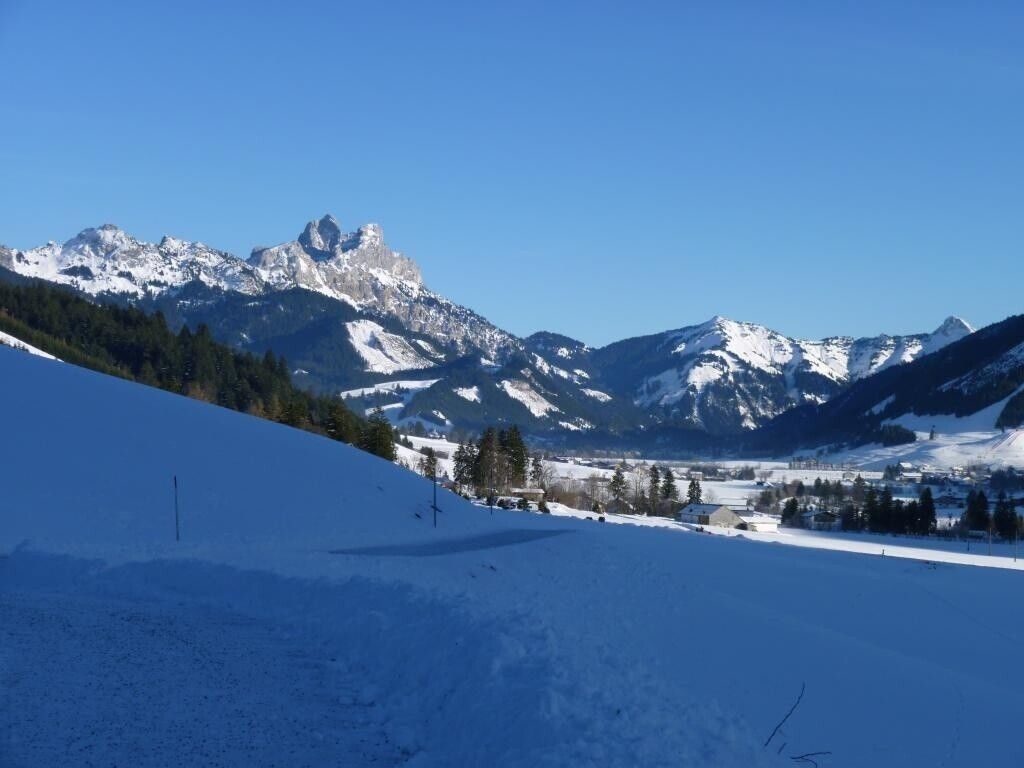
Short description:A beautiful winter hike through the snow-covered Tannheimer Valley. Enjoy the deep winter scenery between Zöblen and Tannheim.Technique: *Quality of experience: ******Recommended season:JanuaryFebruaryMarchAprilMayJuneJulyAugustSeptemberOctoberNovemberDecemberProperties:ScenicRefreshment stops availableFamily friendlyGeological highlightsBotanical highlightsFaunistic highlightsSuitable for strollersDisability access
Description:
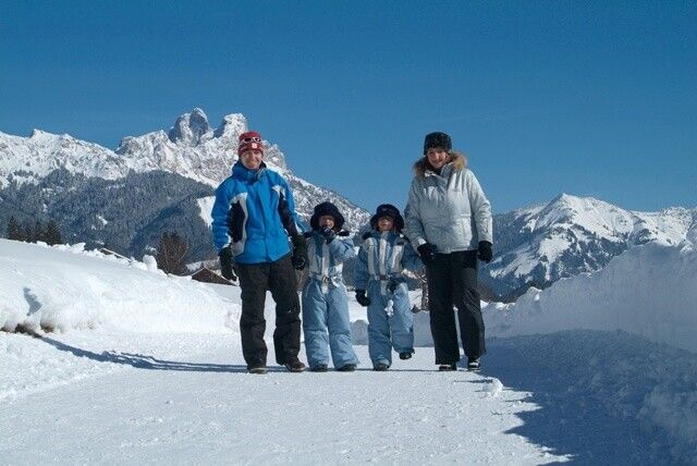
It doesn’t always have to be skiing, snowboarding, or cross-country skiing. Hikers can wander through the snow-covered fairy-tale landscape along nearly 81 kilometers of cleared trails. Along the way, cozy huts invite you to stop for a break. Sitting by the fireplace, warming up with a Jaga tea, or refueling with a snack for the next few kilometers—that’s how you can enjoy snowy walks to the fullest.
After all, along the roughly 81 kilometers of cleared hiking trails, there’s so much to discover and see, and so much fresh air to breathe in, that every step becomes a pleasure—and the inns and cafés along the routes offer plenty of opportunities to refuel and warm up. If you’re looking for a truly special experience, join a guided snowshoe hike at
. For those who want to aim high, the Tannheimer Valley offers two options for summiting a peak even in winter: the Neunerköpfle in Tannheim, home to the largest summit logbook in the Alps, or the Gamskopf with its panoramic information center in Grän.Directions:
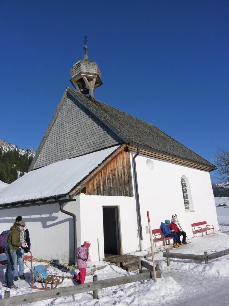
From the parking lot at the western entrance to town, head north through Zöblen and turn right before the bridge, continuing toward Tannheim. Pass the campground, cross the small pedestrian bridge, and continue toward Tannheim. Turn right at the chapel and walk parallel to the Vils River back toward Zöblen. Return to the small pedestrian bridge in front of the campground and turn left toward the state highway. Walk briefly east along the highway to reach the path through the Zöbler Moos. This path will take you back to the starting point.Tip:
You should visit the St. Leonhard Chapel (Plague Chapel) near Kienzen.Safety guidelines:
Please note that there is an increased risk of accidents and injuries even when hiking in winter. Especially in winter, you should pay close attention to trail conditions. Appropriate clothing, sturdy footwear, and, if necessary, hiking poles provide added safety. Stay on the marked trails.Equipment:
Modern, well-maintained gear (boots, poles, and clothing) not only provides a significant level of safety but also makes winter hiking much easier. Don’t forget sunscreen (with a high SPF) and sunglasses, if needed, as well as plenty of fluids.Additional information:
Tourismusinformation Tannheim


