
Difficulty:
difficult
Length:
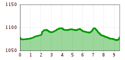
93.5 km
Elevation uphill:
7,700 m
Short description:Very beautiful and quiet winter hike from Zöblen over Tannheim and backTechnique: **Quality of experience: *****Recommended season:JanuaryFebruaryMarchAprilMayJuneJulyAugustSeptemberOctoberNovemberDecemberProperties:LoopScenicRefreshment stops availableFamily friendlyBotanical highlightsFaunistic highlightsInsider tip
Description:
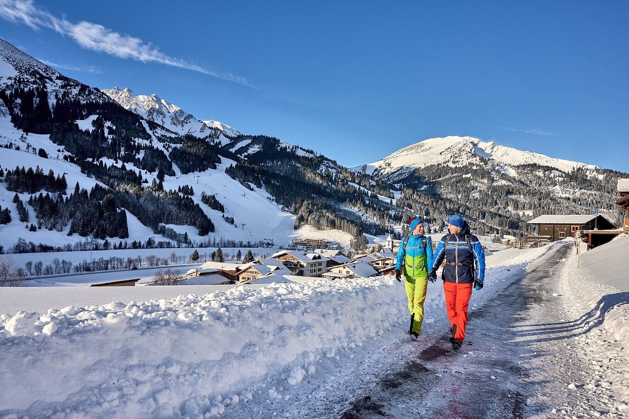
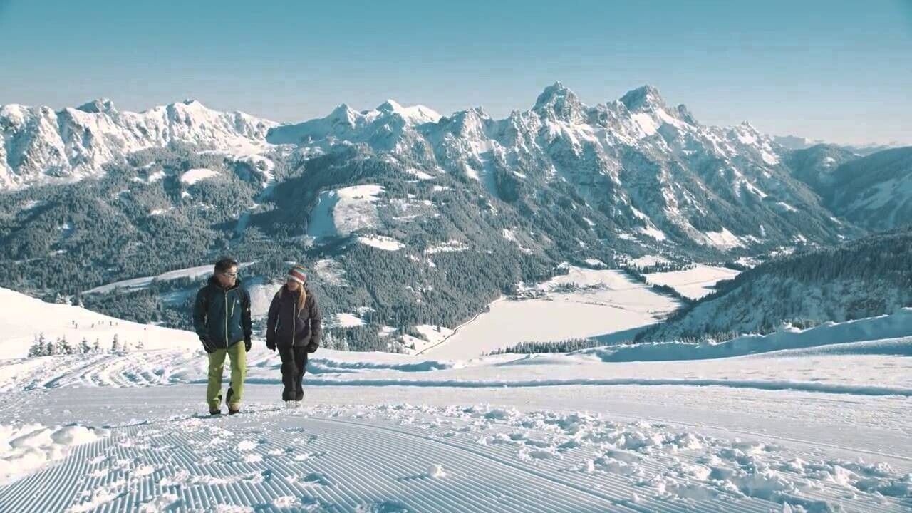
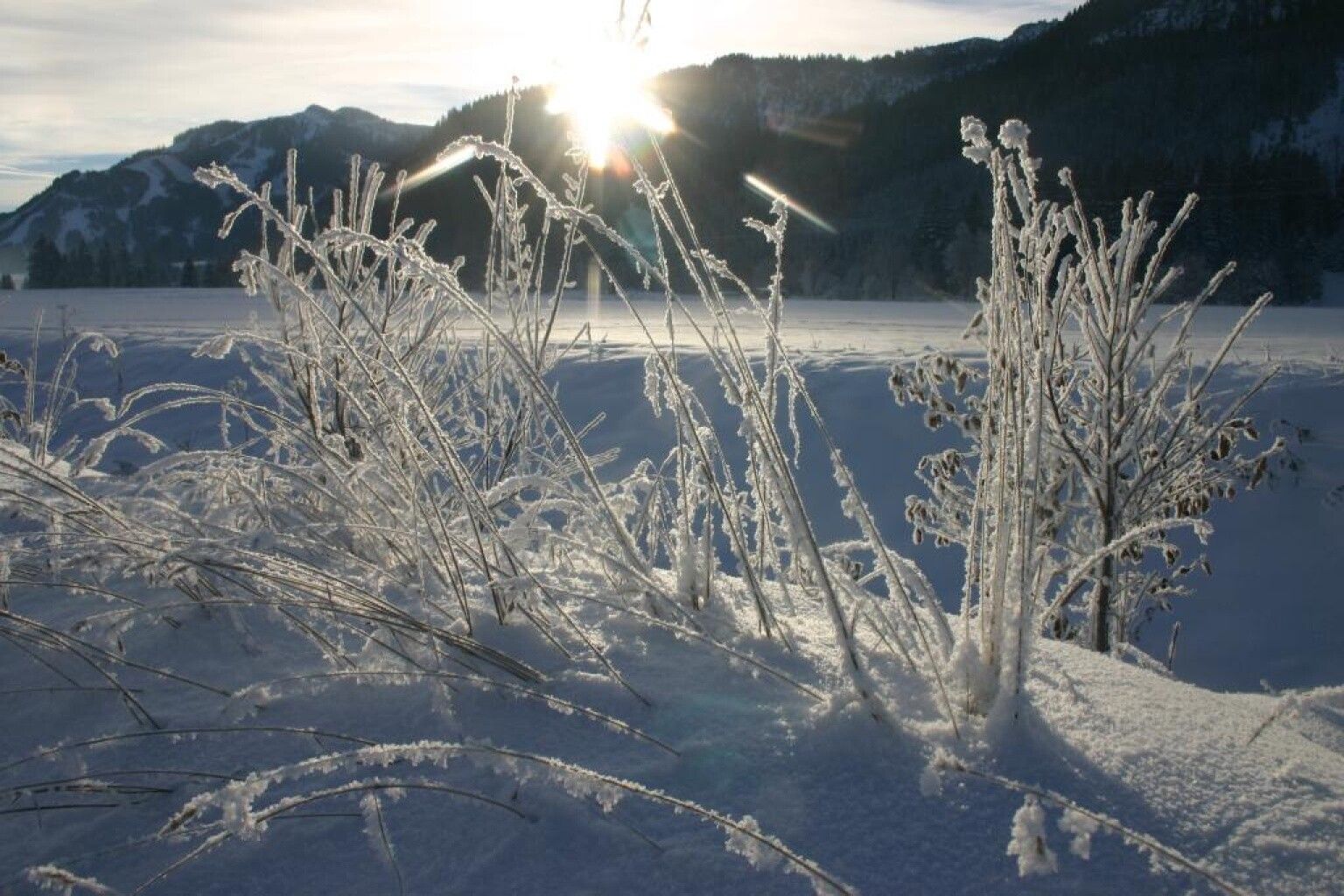
It doesn’t always have to be skiing, snowboarding, or cross-country skiing. On just under 81 kilometers of cleared paths, hikers wander through a snowy fairy-tale landscape. Cozy huts invite you to stop along the way. Sitting by the fireplace, warming up with a Jaga-Tea, or refueling with a snack for the next kilometers – this is how you can fully enjoy snow walks.
Because along the approximately 81 kilometers of cleared hiking trails, there is so much to discover and see, so much fresh air to breathe, that every step becomes a pleasure – with inns and cafés along the routes providing ample chances to refresh and warm up. Those who want to experience something very special can join a guided snowshoe hike. Those who want to go high have two options in the Tannheimer Tal to summit even in winter: the Neunerköpfle in Tannheim with the largest summit register in the Alps or the Gamskopf with the panorama informant in Grän.Directions:
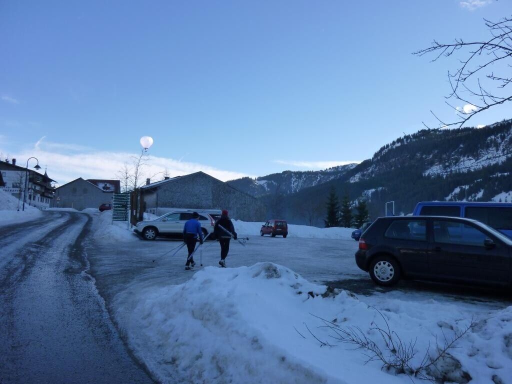
From the parking lot at the entrance to Zöblen West, go briefly west parallel to the federal road. Then cross the federal road, and the winter hiking trail follows the small stream eastward. At the height of the Kienzerle district, the street is crossed again before the path branches off to the right below the campsite. It leads past Untergschwend and the St. Leonhard chapel into the Berg district. There, go right towards the town center of Tannheim.
The return route leads through the town center towards Unterhöfen/Neu-Kienzen. After crossing a small bridge, keep left and follow the same path back to the starting point.
A visit to the plague chapel dedicated to the holy St. Leonhard is worthwhile.
Safety guidelines:It should be noted that there is an increased risk of accidents and injuries even when winter hiking. Especially in winter, special attention must be paid to the trail condition. Suitable clothing, good footwear, and possibly hiking poles provide additional safety. Stay on the marked paths.
Equipment:Contemporary and well-maintained equipment (shoes, poles, and clothing) not only provides a significant level of safety but also makes winter hiking much easier. Sun protection (high factor and possibly sunglasses) as well as enough fluids should not be forgotten.
Additional information:.jpg")


