Hut Hochjoch-Hospiz

Vent

The Hochjoch-Hospiz (2,413 meters above sea level) in the Ötztal Alps is an excursion destination as well as a base for glacier tours and high alpine hikes.

Information

Altitude

2,413 m

Mountain range

Ötztal Alps

Sleeps (number of guests)

  • Dormitory/beds:20
  • Dormitory with mattresses:30
  • Winter room:16 seats, not heatableThe winter room is not locked.

Facilities

  • Showers
  • Mobile phone reception

Suitable for:

  • High-altitude hikes
  • Ski touring

Coordinates

  • Geographic length:10.833888888889
  • Geographic width:46.825
  • UTM (east):5187367
  • UTM (east):639882
  • Reference Meridian:

Opening hours in summer

End of June to end of September

Opening hours in winter

Mid-March to early May
Source: Alpenverein

Description

A base with history at the transition to South Tyrol
DAV mountain hut, Berlin section

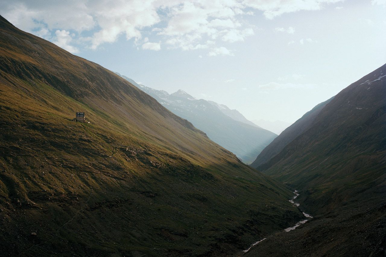
The Hochjoch Hospice stands there like a lonely post at the back of the Rofental valley, but this belies the central position of the refuge. Accessible from Vent via an easy hike, the hospice serves as an ascent aid for glacier aspirants and high-alpine tourers. The eponymous Hochjoch is an old crossing to South Tyrol. Alpine pioneer Franz Senn recognized its potential and, at his suggestion, the first Hochjoch Hospice was built as a flat stone structure in the Rofental valley around 1870. Scarred by weather and avalanches, the building was abandoned around 50 years later. A more stately successor was built on the other side of the mountain, at its current location, by 1927. The hospice offers 50 beds in rooms and mattress dormitories, and the hut is open from the end of June to the end of September.

Ascent to the hut

From Vent in approx. 2.5 hours.

Tours in the surrounding area (Tip!)

Fluchtkogel (3,500 meters), 4.5 hours (glacier equipment required), difficult
Kesselwandspitze (3,414 meters), 4.5 hours (glacier equipment required), difficult
Weißkugel (3,739 meters), 6 hours (glacier equipment required), difficult
Saykogel (3,355 meters), 3.5 hours, difficult
Middle Guslarspitze (3,128 meters), 2.5 hours, moderately difficult

Crossings to other huts, long-distance trails

Martin-Busch hut, 5.5 hours
Vernagthütte, 2 hours
Brandenburger Haus, 3.5 hours
Schöne Aussicht refuge (Rif. Bella Vista), 2.5 hrs.

The Hochjoch hospice is located on the Ötztaltrek (stage 13/14).

Getting here

Nearby huts

  • Schweinfurter Hütte

    Place: Stubai Alps
    : 2,028 m
    : Suitable for mountain hikingHigh-altitude hikesRock climbingMountain bikeSki touring
  • Siegerlandhütte

    Place: Stubai Alps
    : 2,710 m
    : Suitable for mountain hikingHigh-altitude hikesRock climbingSki touring
  • Langtalereckhütte

    Place: Ötztal Alps
    : 2,450 m
    : Suitable for mountain hikingHigh-altitude hikescross country skiingSki touring
  • Ramolhaus

    Place: Ötztal Alps
    : 3,006 m
    : Suitable for High-altitude hikes
  • Vernagthütte

    Place: Ötztal Alps
    : 2,755 m
    : Suitable for mountain hikingHigh-altitude hikesRock climbingSki touring
  • Martin-Busch-Hütte

    Place: Ötztal Alps
    : 2,501 m
    : Suitable for mountain hikingHigh-altitude hikesMountain bikeSki touring
  • Winnebachseehütte

    Place: Stubai Alps
    : 2,372 m
    : Suitable for mountain hikingRock climbingSki touring
  • Hochwildehaus

    Place: Ötztal Alps
    : 2,885 m
    : Suitable for High-altitude hikesSki touring
  • Hildesheimer Hütte

    Place: Stubai Alps
    : 2,899 m
    : Suitable for mountain hikingHigh-altitude hikesRock climbingSki touring
  • Hochstubaihütte

    Place: Stubai Alps
    : 3,173 m
    : Suitable for High-altitude hikesRock climbingSki touring
  • Neue Bielefelder Hütte

    Place: Stubai Alps
    : 2,112 m
    : Suitable for alpine skiingmountain hikingHigh-altitude hikesRock climbingSki touring
  • Brandenburger Haus

    Place: Ötztal Alps
    : 3,277 m
    : Suitable for High-altitude hikesSki touring
  • Erlanger Hütte

    Place: Ötztal Alps
    : 2,550 m
    : Suitable for mountain hikingHigh-altitude hikesSki touring
  • Amberger Hütte

    Place: Stubai Alps
    : 2,135 m
    : Suitable for mountain hikingHigh-altitude hikesRock climbingMountain bikeSki touring
Newsletter

The mountain is calling? So does our newsletter!

In our monthly newsletter we reveal the best holiday tips for Tyrol.