
Arrival by public transport
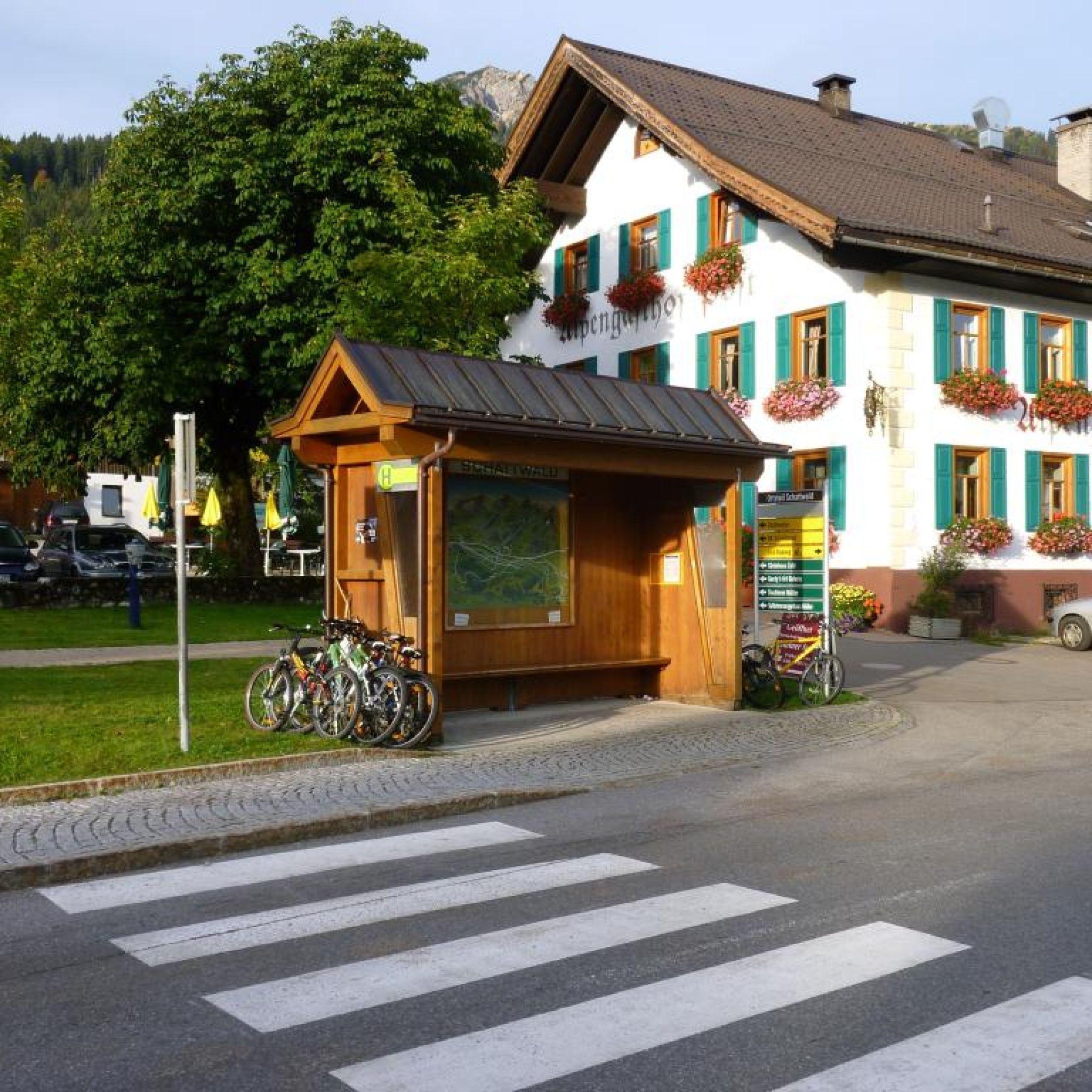
By train to Sonthofen, Pfronten/Ried or Reutte, then by bus to Schattwald.
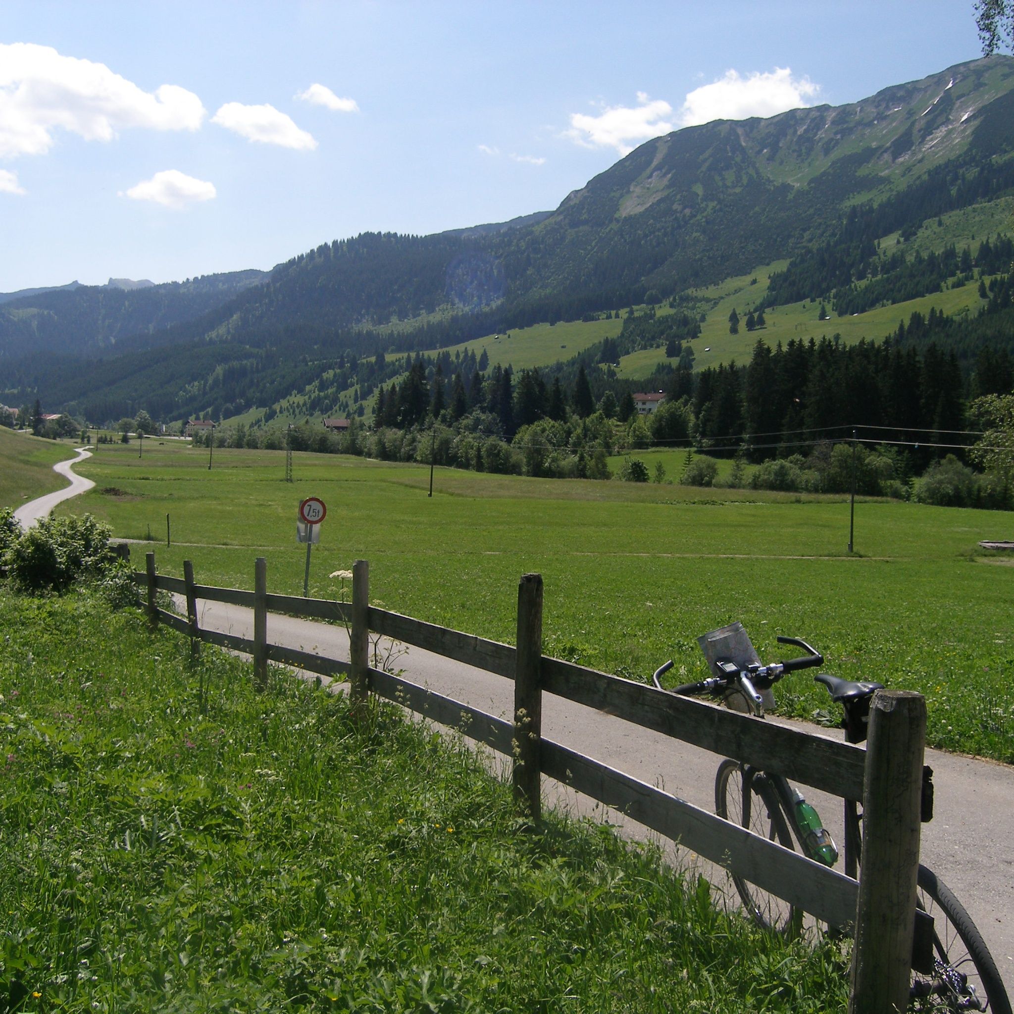
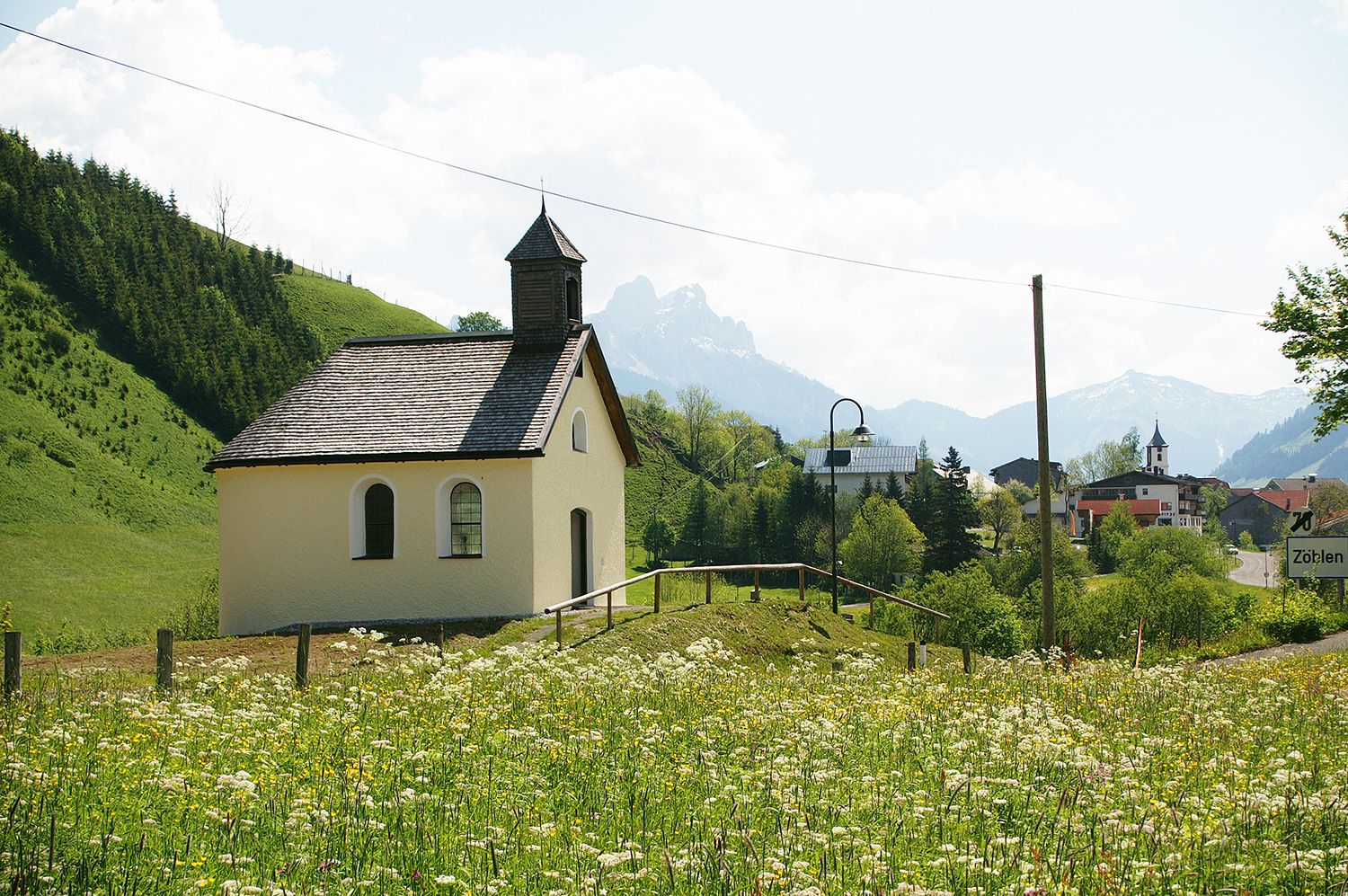
Great route between Schattwald and the neighboring village of Zöblen.
It should be noted that running and walking sports carry an increased risk of accidents and injuries. Despite careful route planning, a basic risk always remains. Preparation through endurance sports, appropriate technical training and education as well as personal caution reduces the risk of accidents and hazards.
Personal equipment must be safe and functional and meet the respective technical standard. Everyone is advised to inform themselves about the planned routes in specialist literature or on site. Complete equipment is highly recommended even for experienced people!Experience the Running and Nordic Walking Arena Tannheimer Tal
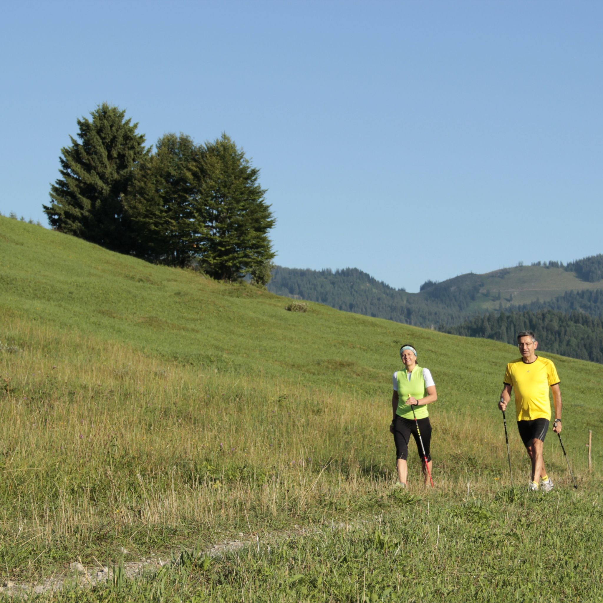
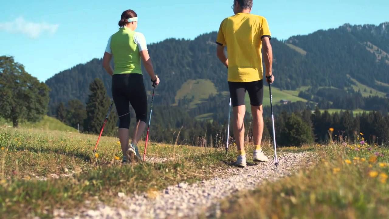
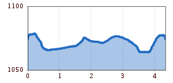
Whether breathless beginner or well-trained mountaineer: in Tannheimer Tal everyone benefits who wants to exercise in fresh air and explore the surrounding mountains on foot. All active people, from hobby athletes to professionals, have a hard choice every day: the largest network of trails in Tyrol offers 26 marked routes extending over a total of 186 kilometers. Beginner loops are included as well as demanding mountain runs. And so that all guests know which path suits their fitness and demands, a specially designed map and small signs provide information on elevation profile, difficulty level, and length of the route - the Running and Nordic Walking Map.
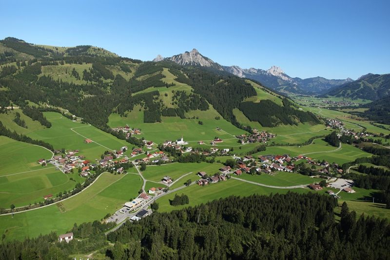
Along meadows, over green alpine pastures, by sparkling mountain lakes... Walking and running in Tannheimer Tal is not only the best training for the body but above all balm for the soul. The starting points for all those eager to move lie in the six villages Tannheim, Grän-Haldensee, Nesselwängle-Haller, Zöblen, Schattwald, and Jungholz. From here, walkers, Nordic walkers, and runners follow the signs. They are easy to recognize: figures with sticks. Moreover, all routes, as well as ski slopes, are classified into the categories black, red, and blue. An optimal classification which, among other things, has contributed to the fact that this probably most beautiful high valley in Europe has officially been called a "Running and Walking Competence Center" since 2005.
By train to Sonthofen, Pfronten/Ried or Reutte, then by bus to Schattwald.
On the A7 motorway at the "Oy-Mittelberg" exit onto the B310 towards Wertach and then to Oberjoch. There follow the signs "Tannheimer Tal" B199 until reaching Schattwald. From the Tyrol side via Reutte on the B198 towards Lechtal to Weißenbach, over the Gaichtpass along the B199 to Schattwald.
Parking lot at the community center in Schattwald - paid


