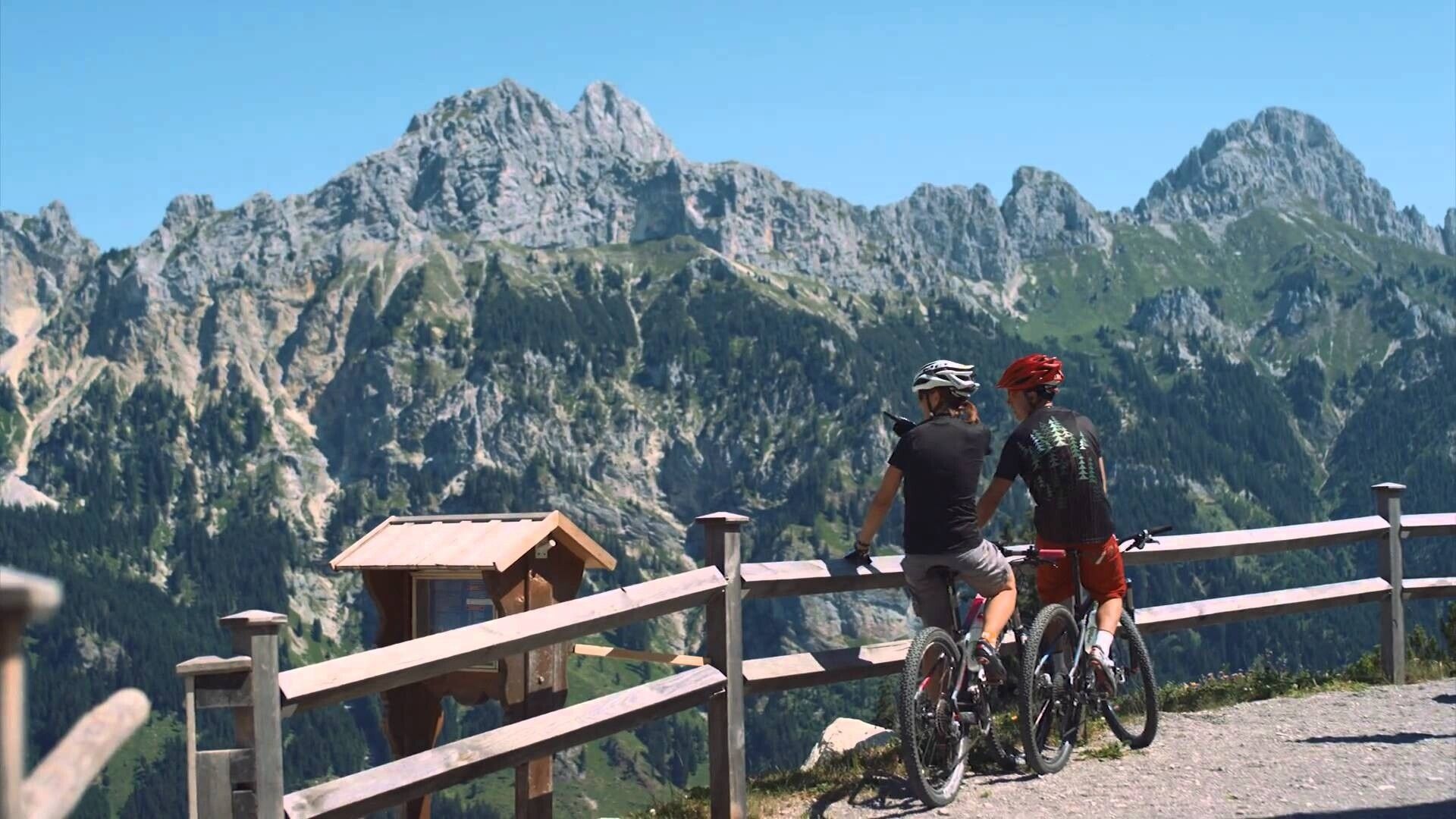
Short description:Wonderful route through meadows and fields.Technique: *Quality of experience: ******Recommended season:MayJuneJulyAugustSeptemberOctoberProperties:Multi-stage routeScenicRefreshment stops availableFamily friendlyBotanical highlightsFaunistic highlights
Description:
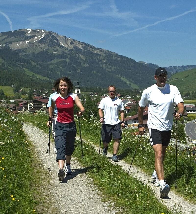
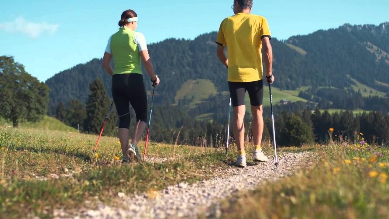
Experience the Running and Nordic Walking Arena Tannheimer Tal
Whether breathless beginner or well-trained mountain athlete: in the Tannheimer Tal, everyone benefits who wants to exercise in the fresh air and explore the surrounding mountains on foot. All active people, from hobby athletes to professionals, face a daily choice: the largest network of trails in Tyrol offers 26 marked routes, covering a total of 186 kilometers. There are beginner loops as well as demanding mountain runs. And to help guests know which path suits their condition and requirements, a specially designed map and small signs provide information about elevation profile, difficulty level, and route length - the running and Nordic walking map.
Along meadows, over green alpine pastures, past sparkling mountain lakes... Walking and running in the Tannheimer Tal is not only the best training for the body but also balm for the soul. The starting points for all those eager to move are in the six villages of Tannheim, Grän-Haldensee, Nesselwängle-Haller, Zöblen, Schattwald, and Jungholz. From there, walkers, Nordic walkers, and runners follow the signposts. They are easy to recognize: figures with poles. In addition, all routes, like ski slopes, are categorized into black, red, and blue. An optimal marking that helped contribute to this probably most beautiful high valley in Europe being officially called a "Running and Walking Competence Center" since 2005.
Directions:
.jpg")


