

Opening hours:Open today
Place:Fließ
:Alpine pasture / hut / mountain restaurant
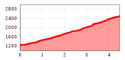
In ideal snow conditions, the tour can be started just above the castle and leads up to the Glanderspitze at 2,512 m.
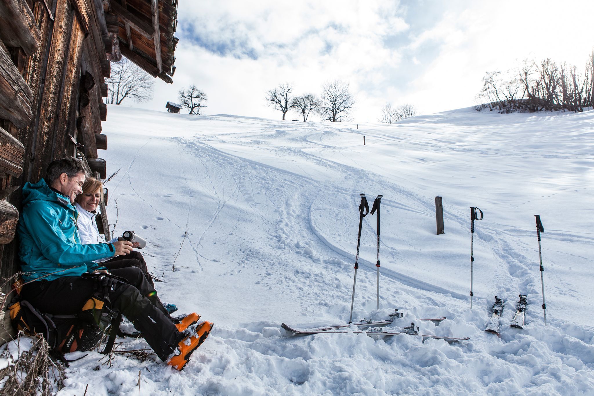
In winter, the area above, due to the large wind sensitivity of the terrain, with great caution. With exceptionally safe avalanche conditions, the tour also leaves nothing to be desired as a powder tour.
(© www.skitours-paradise.com)
Length: 3847 m Ascent: 823 m Descent: 8 m Lowest point: 948 m Highest point: 1764 m
Length: 3847 m Ascent: 823 m Descent: 8 m Lowest point: 948 m Highest point: 1764 m


