Grosser Beil

Wildschönau / Kitzbühel Alps
Route length: 7.0 km
Duration: 4:00 h

A demanding ski tour to the Wildschönau's highest peak

Tour information

  • Length: 7.0 km
  • Duration: 4:00 h
  • Elevation uphill:1,100 hm
  • Elevation downhill:1,100 hm
Highest point2,309 m

Starting point

Schönangeralm

Finishing point

Großer Beil
  • Fitness level 3 / 6
  • Technique 4 / 6

Best time of year

  • January
  • February
  • March
  • April
  • May
  • June
  • July
  • August
  • September
  • October
  • November
  • December

Equipment

LVS, Sonde, Schaufel, Harscheisen, Verpflegung
Source: TVB Wildschönau

Description

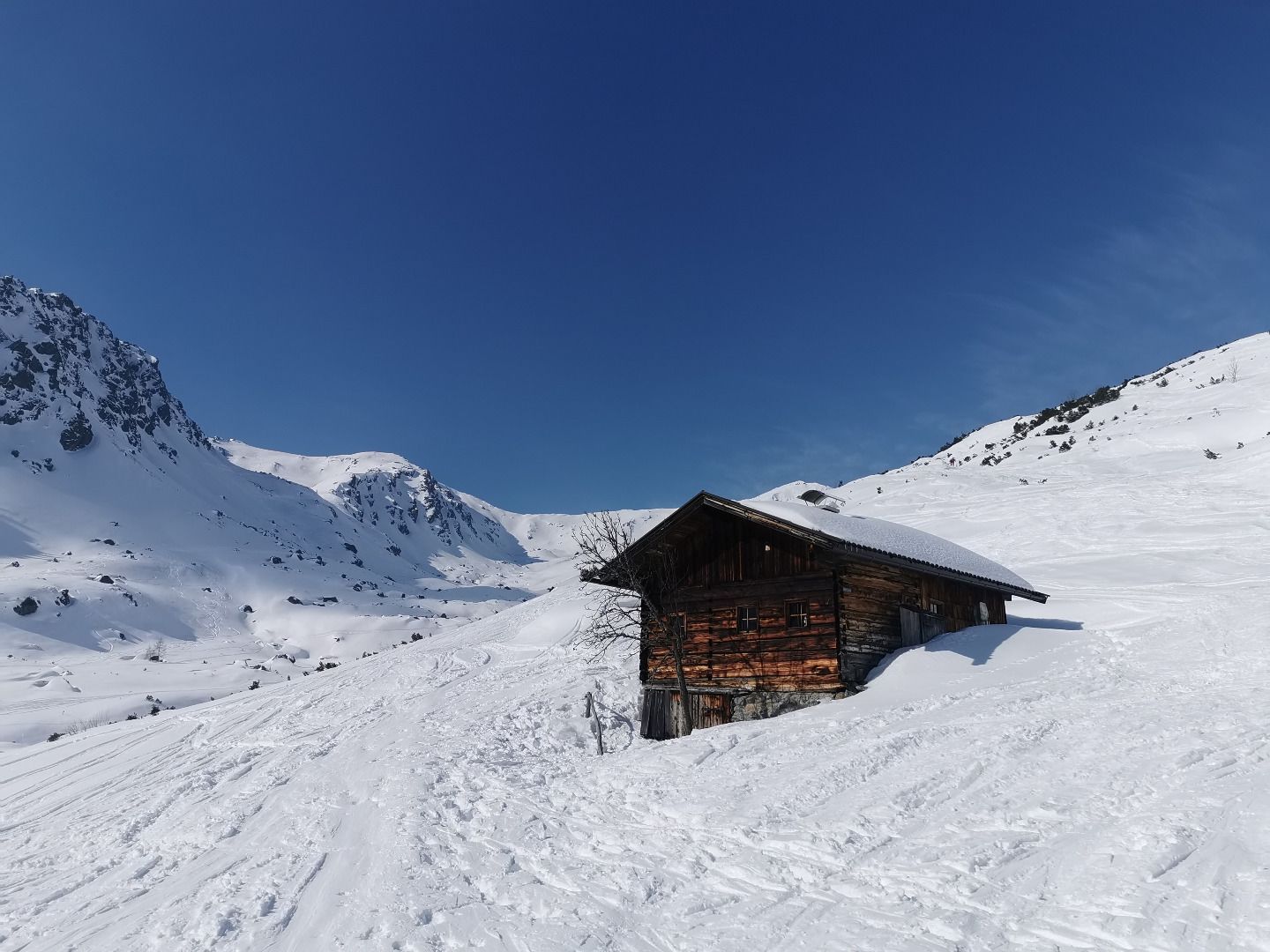
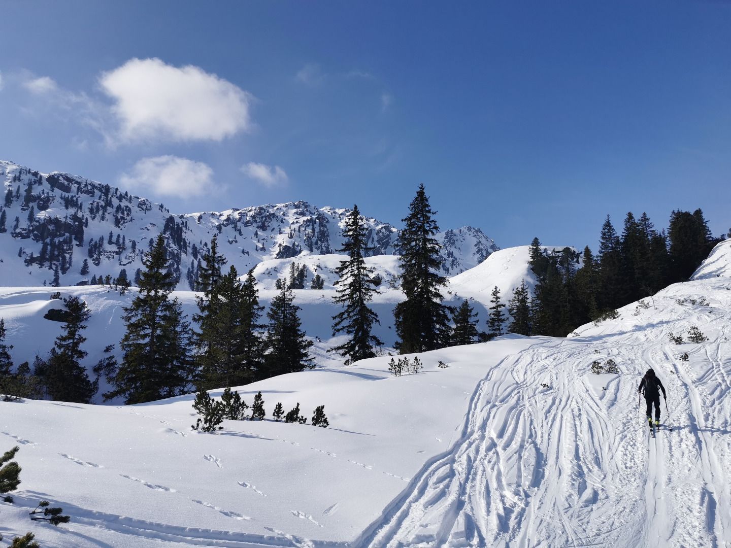
Park at the Schönanger Alm, then continue on to the Kundl Alm bridge. Take the steep "Kastensteig" route (secured with ropes - if there isn't enough snow you may have to carry your skis) to the Gressenstein Alm.
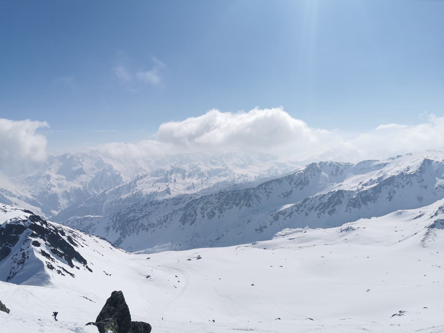
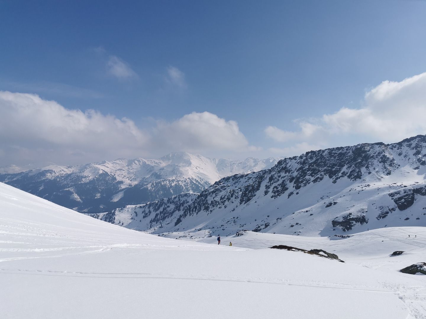
Continue up over super slopes with varying steepness from the south up to the steep summit.


More tours in the surrounding area

  • Breiteggspitze

    Difficulty:easy
    Length:3.4 kmDuration:2:00 hElevation uphill:700 m
Newsletter

The mountain is calling? So does our newsletter!

In our monthly newsletter we reveal the best holiday tips for Tyrol.