
Opening hours:Today closed
Place:Alpbach
:Alpine pasture / hut / mountain restaurant
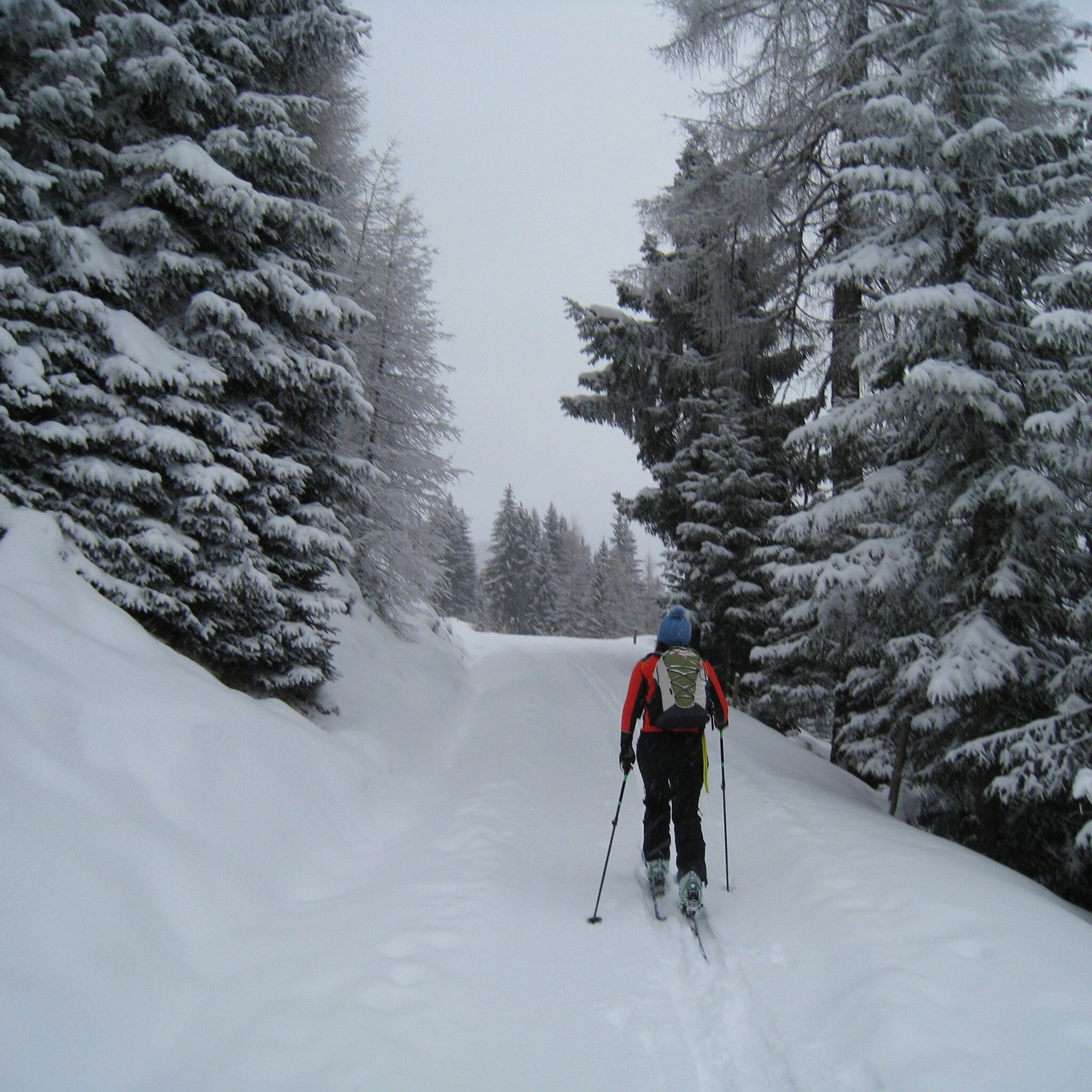
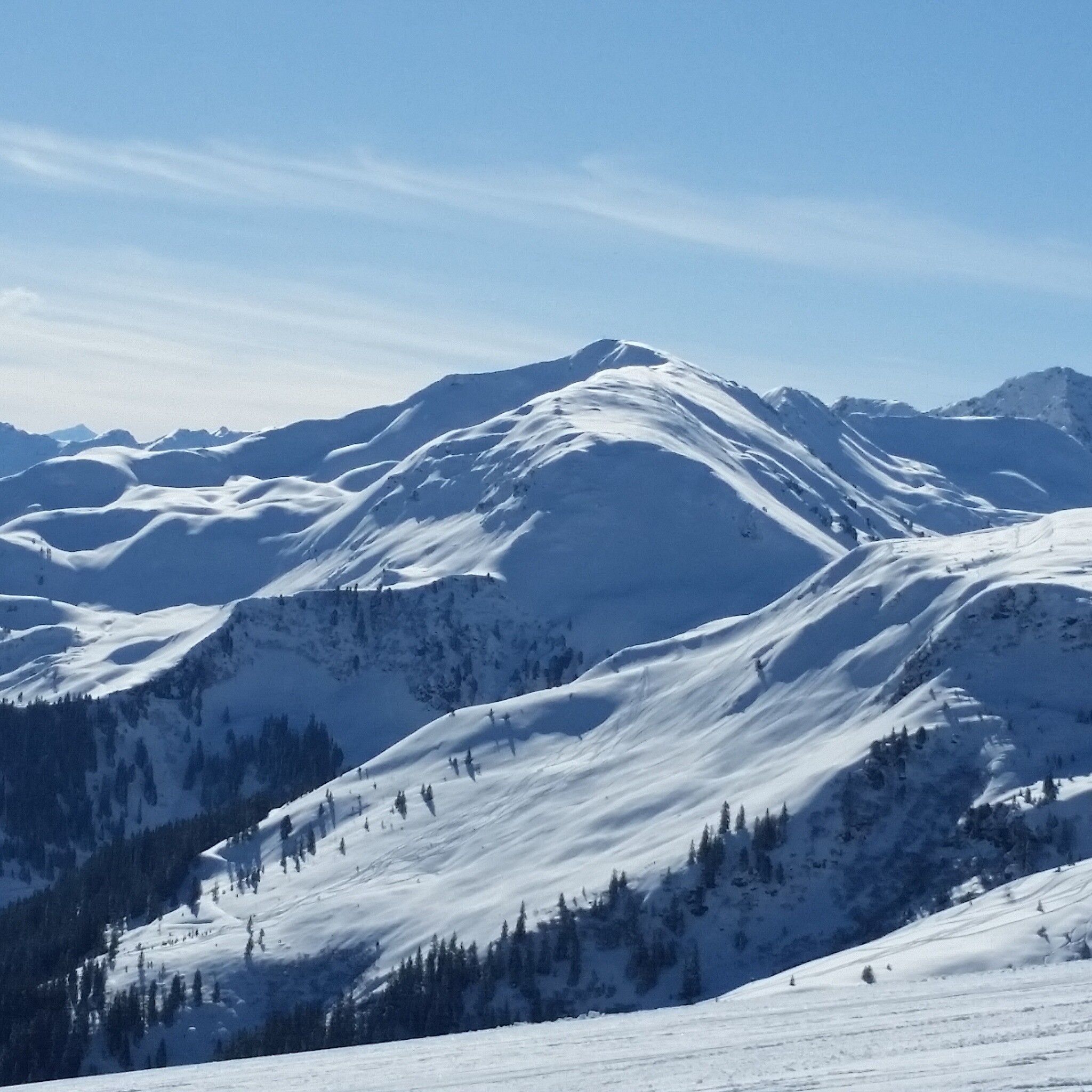
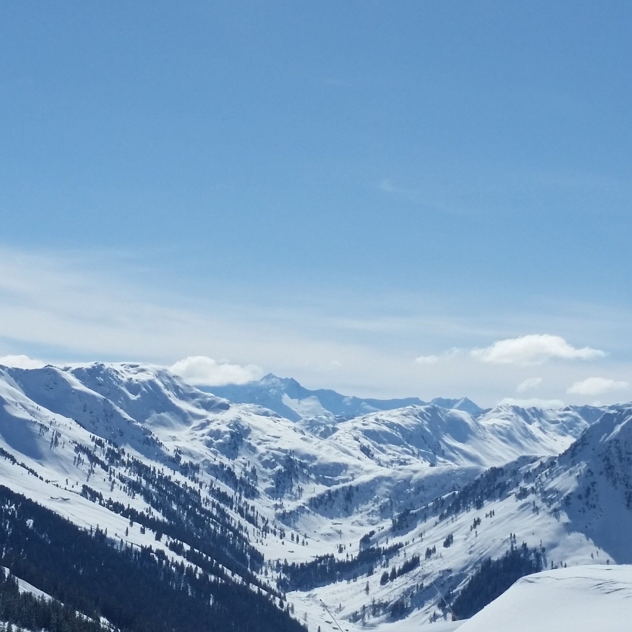
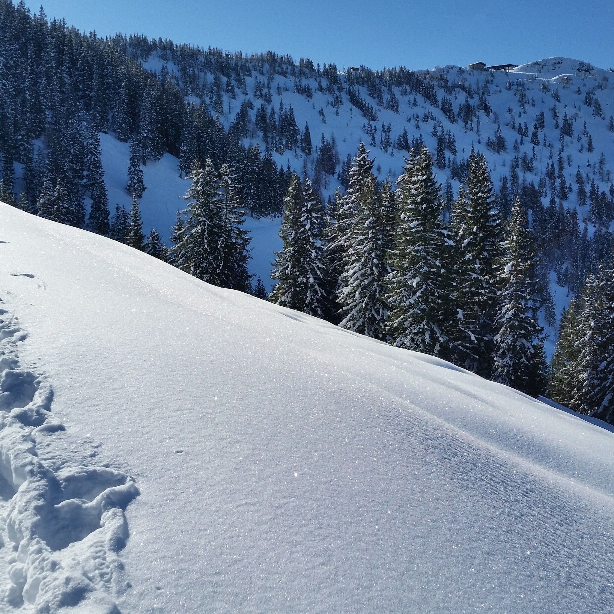
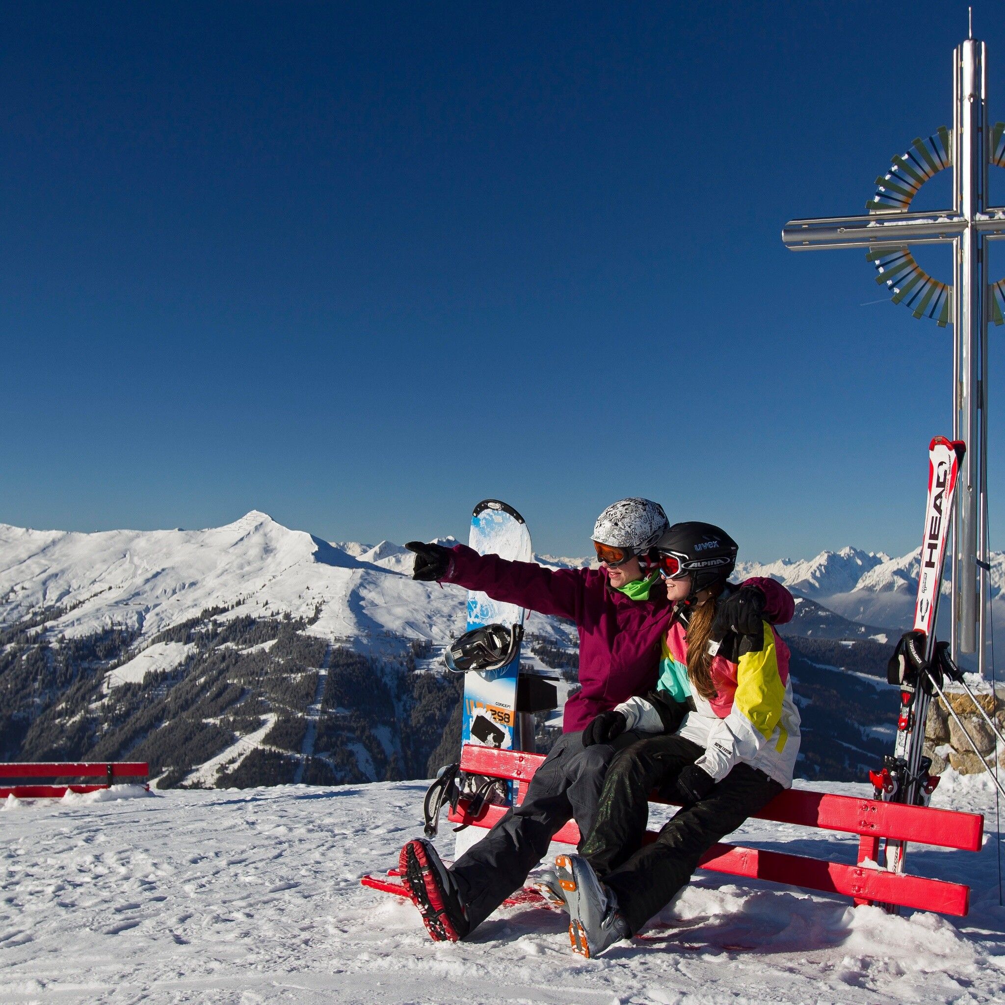
Easy ski route with relatively few altitude meters to the Schatzberg with a magnificent view
Pay attention to the current avalanche situation on every ski tour!
Tyrol Avalanche Warning Service
Ski touring equipment, sufficient drinks and provisions
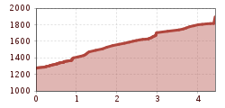
Walking time: 2 h – 600 m ascent
From the starting point, follow the path upwards to the right (signposted towards Schatzberg). At the second hairpin bend, continue straight up to the Thaleralm. Above the alm, continue slightly ascending on the path until you reach the forest, then go upwards over open terrain and along the left side of the wooded strip to the Zottaalm. Above the alm, follow the flat path to the pass (Krinnjoch); after the pass, continue on the ski trail of the Schatzberg cable cars upwards to the mountain station; here go straight across the ridge, past the mountain station of the connecting cable car Alpbach/Wildschönau, to the summit of the Schatzberg.
Descent: same as ascent route
not possible
Alpbach Oberthaler parking lot

