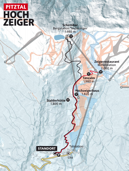
Sechszeiger Route - black

Jerzens im Pitztal / Ötztal Alps
Route length: 4.6 km
Duration: 2:30 h

Tour information

  • Length: 4.6 km
  • Duration: 2:30 h
  • Elevation uphill:920 hm
  • Elevation downhill:0 hm
Highest point2,370 m

Starting point

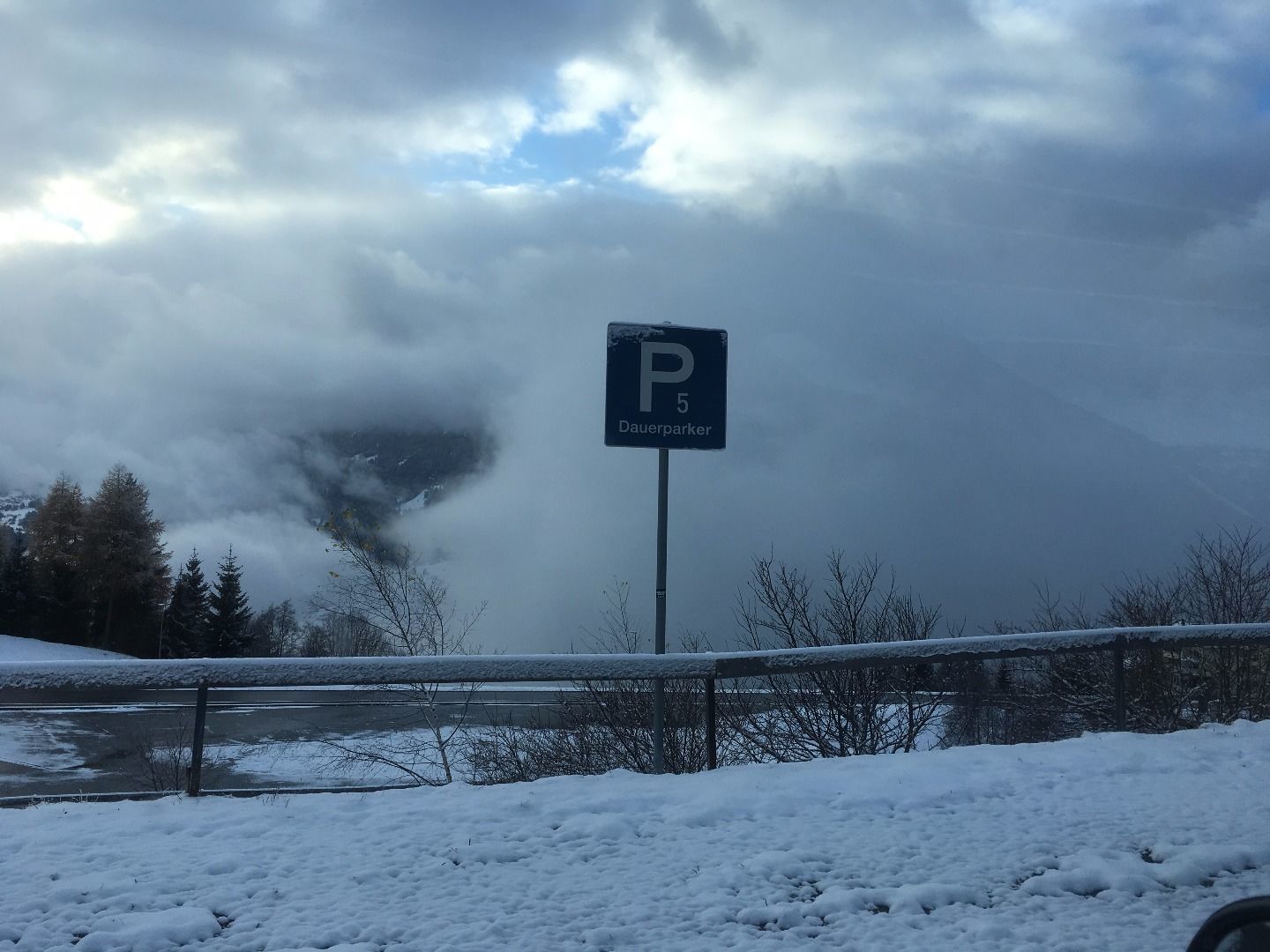
Car park Liss/Hochzeiger Bergbahnen P5

Finishing point

Sechzeiger

Best time of year

  • January
  • February
  • March
  • April
  • May
  • June
  • July
  • August
  • September
  • October
  • November
  • December
Source: TVB Pitztal

Description

Follow the route to the intermediate station until you reach the underpass. However, do not go through it and do not stay on the toboggan run but turn left next to piste no.9 instead – it’s an ascent through woodland terrain. Once you have reached the logging road of the Sechzeiger slope no.7 – follow it for approx. 200 m and then continue across a slightly hilly terrain through a small valley until you arrive just below the mountain station of the Sechzeiger ski lift. 
 

Nearby huts and mountain restaurants

Getting here

  • Parking

    Take the bus till the bus stop Jerzens Hochzeiger. If you arrive by car, you can use the car park Liss/Hochzeiger Bergbahnen for free.

Weather

Today

partly Cloudy
6°C/0°C
5 km/h
Snow depth
Now: 0 cm,
Next snowfall: No data available
Go to weather forecast Go to snow report
Newsletter

The mountain is calling? So does our newsletter!

In our monthly newsletter we reveal the best holiday tips for Tyrol.