Vorderunnutz (2,078m)

Steinberg am Rofan / Brandenberg Alps (Rofan)
Streckenlänge: 6.4 km
Dauer: 3:30 h

Ski tour with splendid vistas between Steinberg and Achenkirch. A good sense of direction is recommended.

Toureninformation

  • Länge: 6.4 km
  • Dauer: 3:30 h
  • Höhenmeter Bergauf:1,050 hm
  • Höhenmeter Bergab:0 hm
Höchster Punkt2,078 m

Ausgangspunkt

Steinberg, Liftstüberl car park

Endpunkt

Steinberg, Vorderunnütz (2,078 m)

Beste Jahreszeit

  • January
  • February
  • March
  • April
  • May
  • June
  • July
  • August
  • September
  • October
  • November
  • December

Ausrüstung

Snacks and drinks, helmet, avalanche safety gear (transceiver, shovel and probe), first aid kit, bivvy bag, and mobile phone. Avalanche airbags improve your chance of survival.
Quelle: Achensee Tourismus

Beschreibung

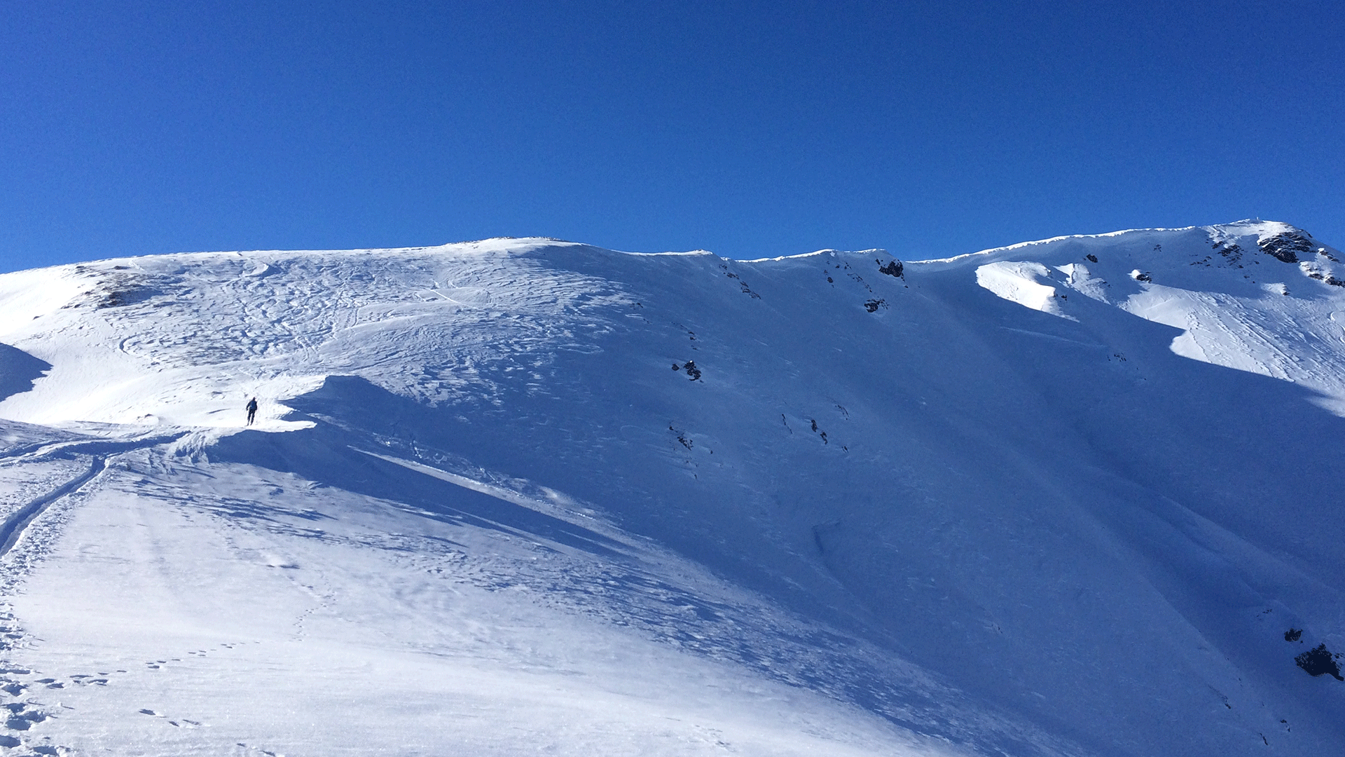
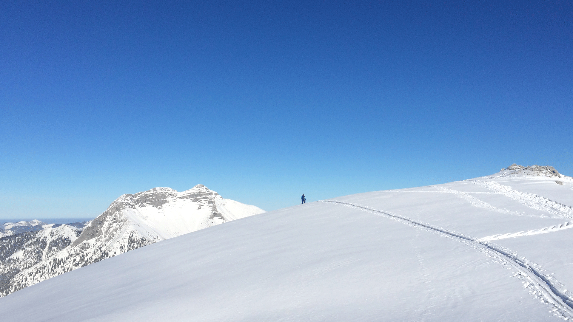
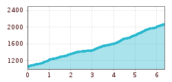
Ascend along the right edge of the ski slope. After a few metres, turn right into the forest and follow the wide path westwards through a gully.  At the signpost, turn right and follow the summer hiking path in a westerly direction next to a ridge. Leave the path in front of the ditch and head to the Schlagkopf (1,688m) via the wooded ridge. South of the Schaarwandkopf (1,867m) continue in a wide arch to the west. Finally walk alongside a wide ridge in a northerly direction to the summit.  
The descent follows the ascent route.

Einkehrmöglichkeiten

  • Silberwaldhütte

    Öffnungszeiten:gesperrt
    Ort:Steinberg am Rofan
    :Alpine pasture / hut / mountain restaurant

Anreise

  • Anreise mit den Öffis

    Take the regional bus (line 4080 to Achenkirch, change to line 7801 to Steinberg) to the Rofanlifte II car park in Steinberg am Rofan. Get off at the "Steinberg a. R. Rofanlift II" stop.

  • Parken

    Liftstüberl car park in Steinberg (free of charge)

Tirol Newsletter

The mountain is calling? So does our newsletter!

In our monthly newsletter we reveal the best holiday tips for Tyrol.