Trail running Breitenbach North Face Trail – Ascherjoch, Plessenberg & Heuberg 20K

Breitenbach am Inn / Brandenberg Alps (Rofan)
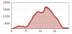
Route length: 20.0 km
Duration: 4:55 h

20 km and 1,450 m of ascent: steep mountain trails, Ascherjoch, Plessenberg and Heuberg make this a demanding alpine trail-running route.
Tour information

  • Length: 20.0 km
  • Duration: 4:55 h
  • Elevation uphill:1,448 hm
  • Elevation downhill:1,448 hm
Highest point1,744 m

Starting point

Breitenbach

Finishing point

Breitenbach
  • Fitness level 4 / 6

Best time of year

  • January
  • February
  • March
  • April
  • May
  • June
  • July
  • August
  • September
  • October
  • November
  • December

Equipment

The route runs mostly on well runnable trails but contains some slightly technical sections. Pay attention to suitable shoes with grippy soles and adjust your pace to the terrain. Also for this route: inform yourself beforehand about the weather conditions – sections can be slippery when wet.
  • Closed trail running shoes with grippy soles
  • Mobile phone
  • Container for taking in fluids at the refreshment station (e.g. soft cup or soft flask)
  • Completed data sheet on the back of the bib number
  • Rescue blanket
  • Additionally, the following are mandatory for the CLASSIC challenge:
  • Rain jacket with at least 10,000mm waterproof rating
  • Small first aid kit (compress, gauze bandage, fixing tape)
Source: Alpbachtal Tourismus

Description

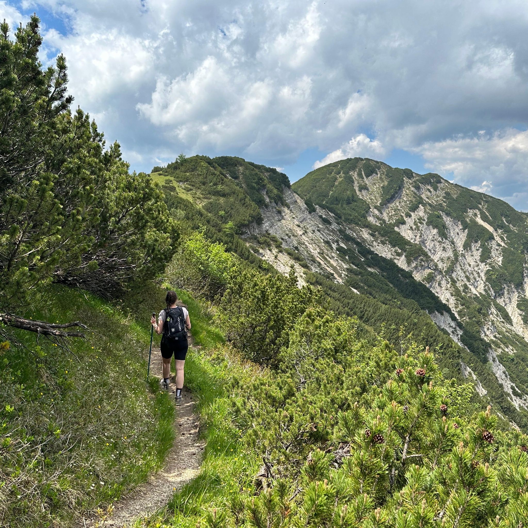
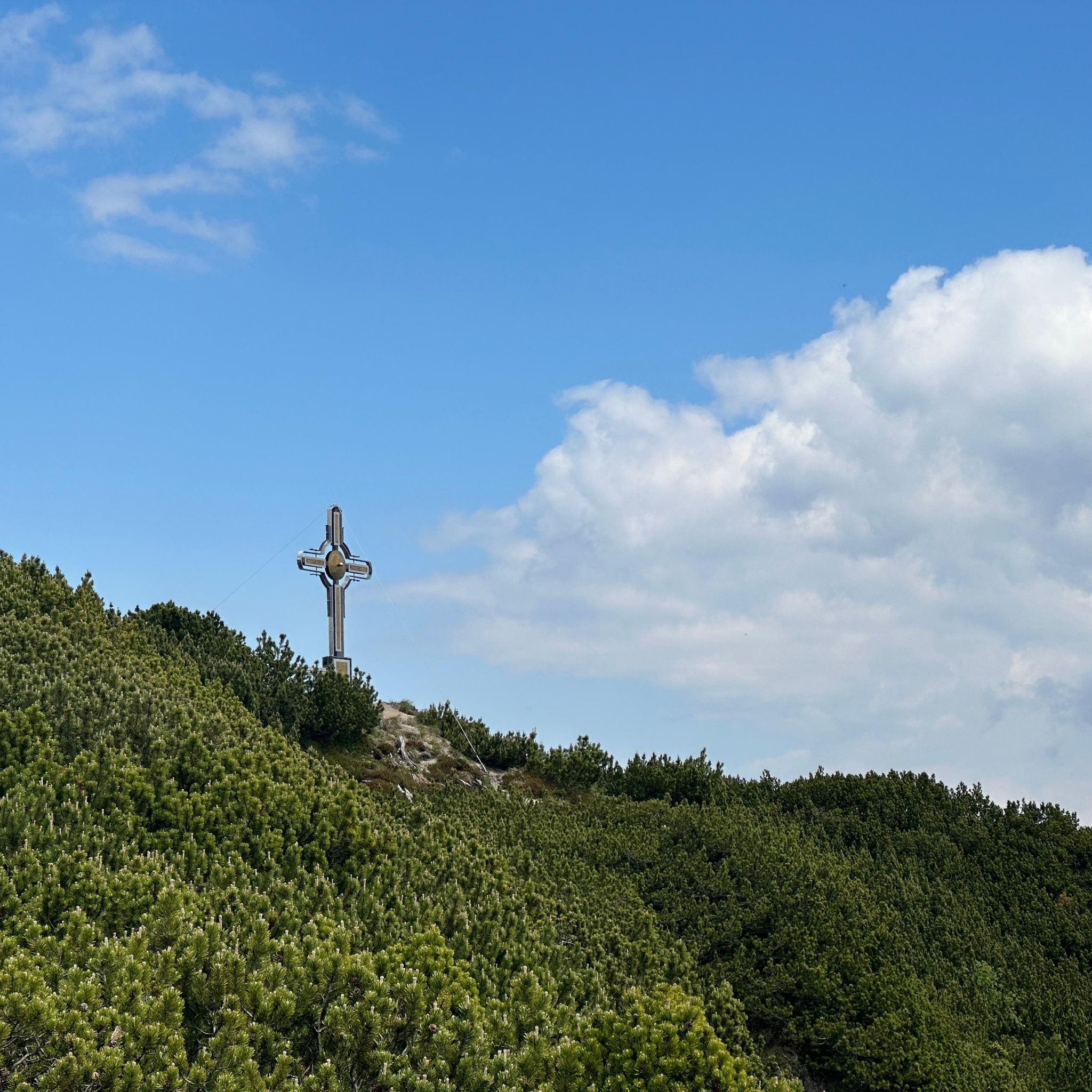
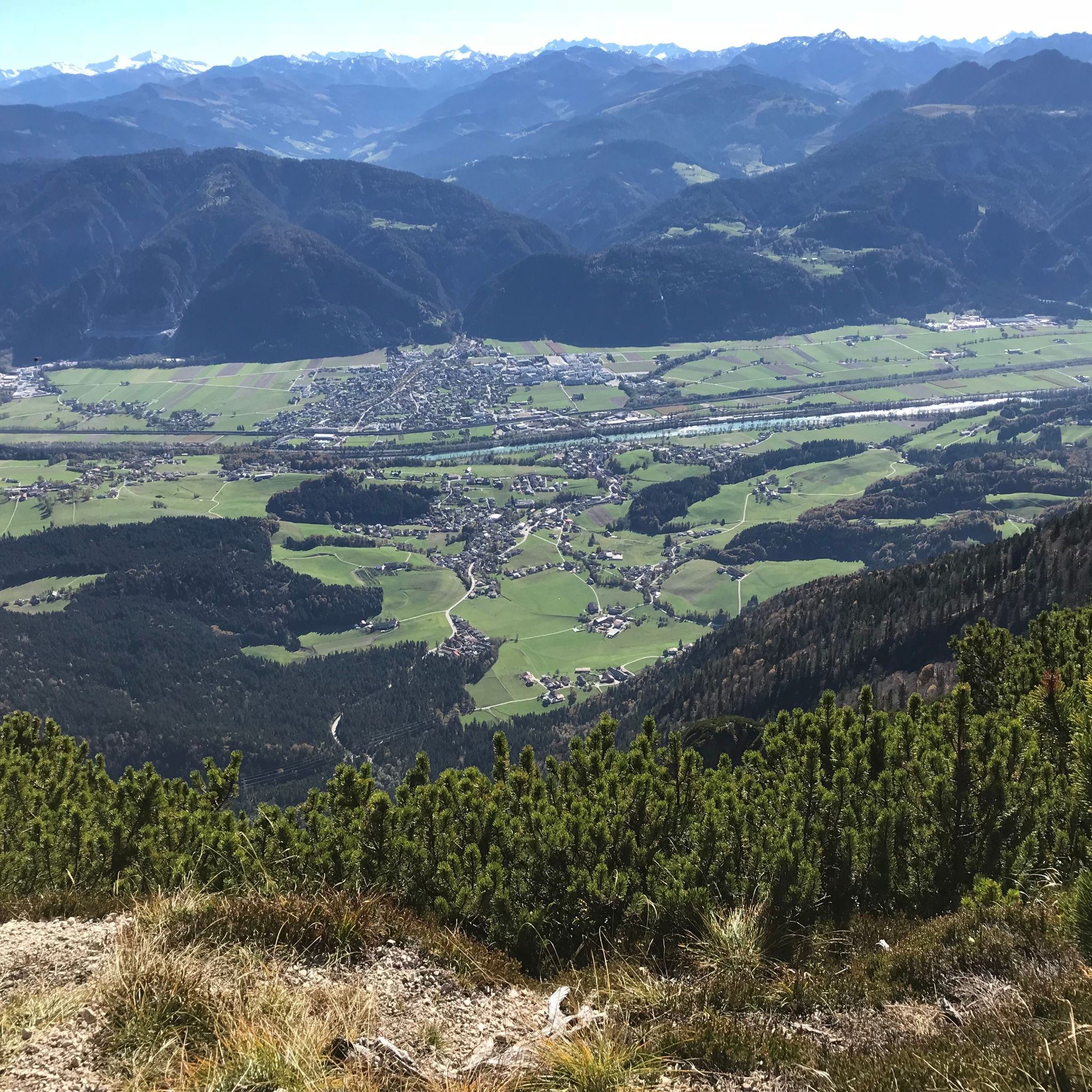
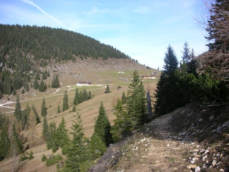
This challenging trail run starts and finishes by the church in the centre of Breitenbach. The first section follows the Way of St. James through the hamlets and forests around the village, with gentle gradients that are ideal for warming up. In Schönau, the route becomes much steeper, climbing on demanding mountain trails towards Nachberg Hochleger. From there, it follows the Eagle Walk via Ascherjoch to Plessenberg. This section requires sure-footedness and concentration, with technical passages and a short cable-secured section. Scenic trails continue towards Heuberg, the highest part of the route. A narrow, steep hiking trail then descends to Jocher Chapel before returning to the village. With 20 km, 1,450 m of ascent and a highest point of 1,744 m, this route is best suited to experienced trail runners with strong fitness and confident footing.

Nearby huts and mountain restaurants

Getting here

  • Parking

    Zentrum

Weather

Today

clear sky
25°C/14°C
0%0l5 km/h

Mon

light rain showers
27°C/13°C
50%1.1l5 km/h

Tue

clear sky
30°C/15°C
30%1.4l5 km/h
Go to weather forecast
Newsletter

The mountain is calling? So does our newsletter!

In our monthly newsletter we reveal the best holiday tips for Tyrol.