Description
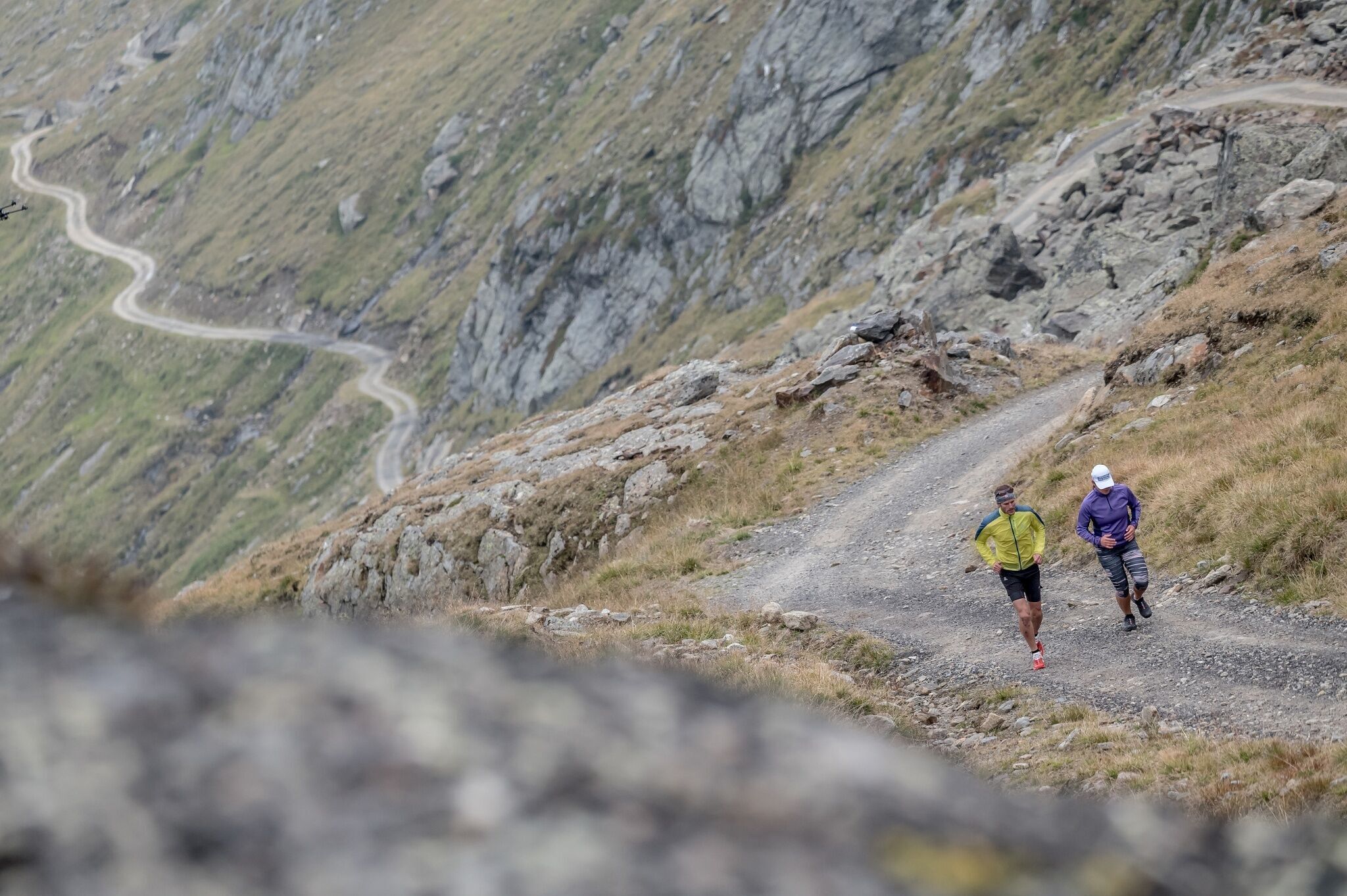
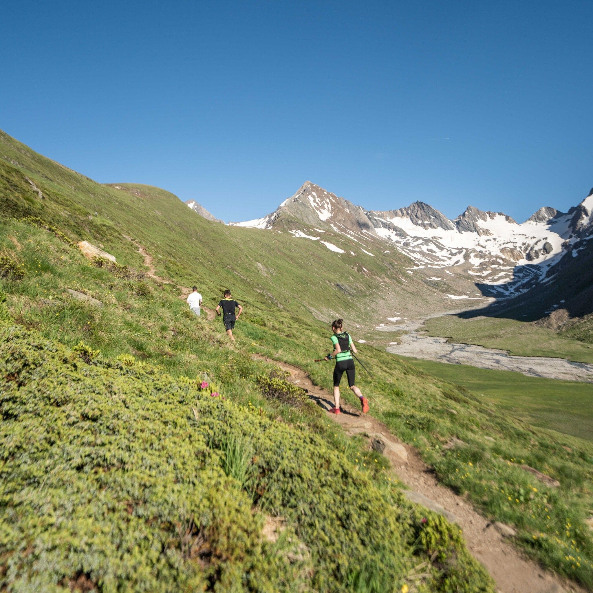
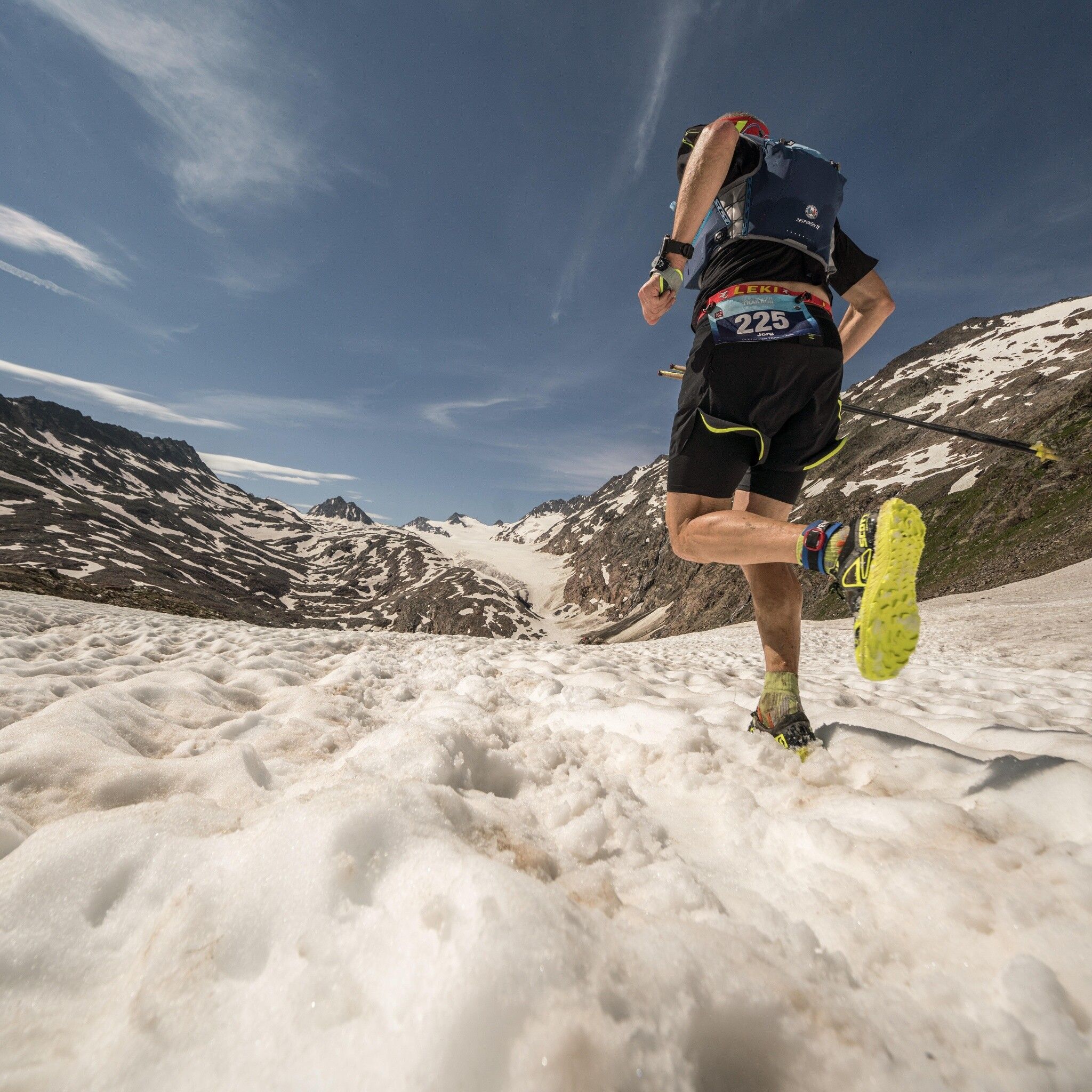
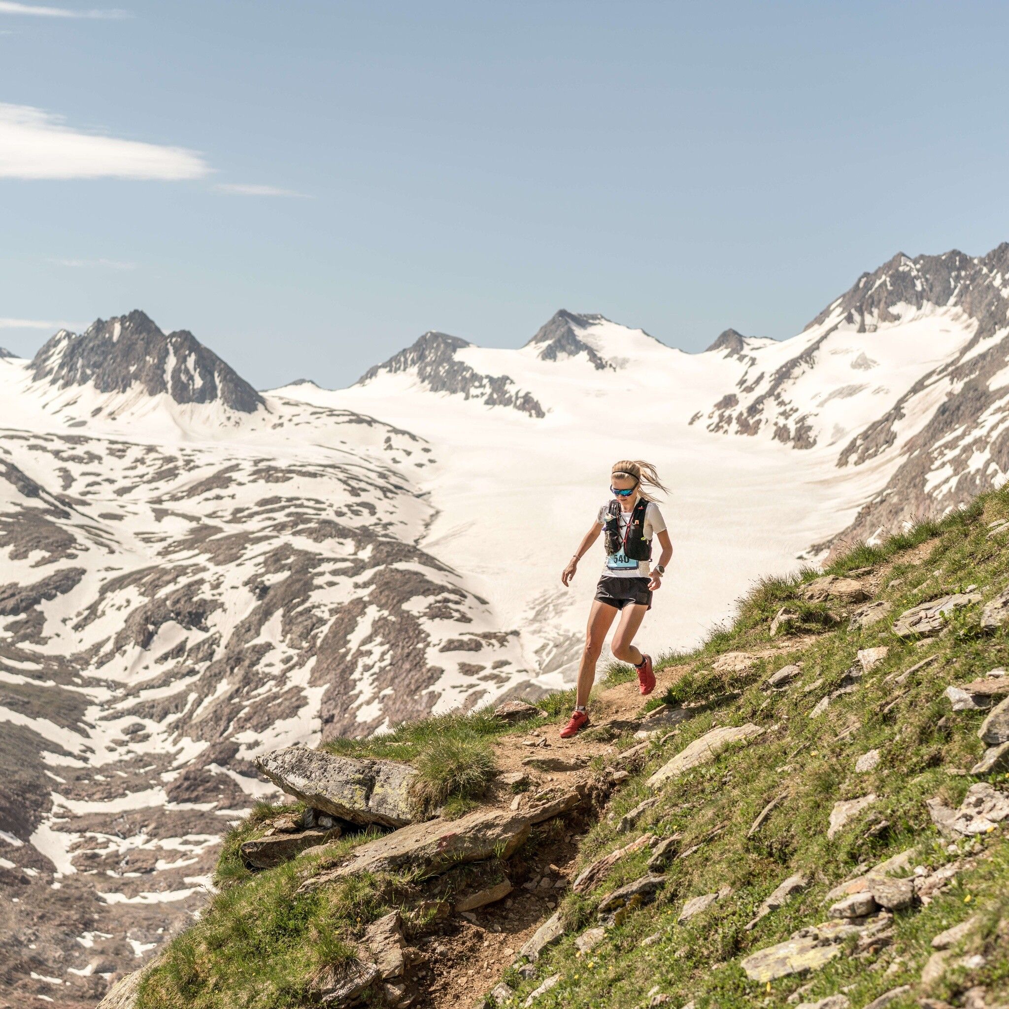
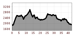
The start takes place at almost 2,000m above sea level in Obergurgl. After two kilometers to warm up, it goes straight to business – a 700m ascent awaits the participants. Upon arrival at Soomsee, trail runners can enjoy breathtaking panoramic views amid the Ötztal and Stubai Alps. At about 2,500m above sea level, the route runs again downhill through a beautiful trail to the first refreshment station (Küppelehütte), before it climbs steeply to the highest point of the race, the Ramolhaus above 3,000m. After recording the intermediate time there, participants run a technically very demanding downhill to the Piccard Bridge, where a breathtaking panorama of the Ötztal glacier world opens up. Continuing over the Schwärzenkamm to the Langtalereckhütte, runners tackle the next kilometers of the race on the forest road to the Schönwieshütte. After the next refreshment station, the route goes into the beautiful Rotmoostal, up to the Hohe Mut Alm. Upon reaching 2,636m, runners enjoy the panorama before a downhill through the Gaisbergtal leads towards Festkogl. Here, runners have to gather all their energy once again before continuing through the Verwall and Königstal to the last downhill trail through a beautiful stone pine forest towards Obergurgl. In the final 2 km, participants enjoy the encouragement of the spectators until the finish line.


.png")


")

 Andi Frank_TVB PillerseeTal (133).jpg")


