Trail running Lämpersberg Trail

Wildschönau / Kitzbüheler Alpen
Route length: 24.0 km

Great, rather solitary round

Tour information

  • Length: 24.0 km
  • Elevation uphill:1,600 hm
  • Elevation downhill:1,600 hm
Highest point2,199 m

Starting point

Schatzbergbahn Auffach

Finishing point

Schatzbergbahn Auffach
  • Fitness level 5 / 6
  • Technique 5 / 6

Best time of year

  • January
  • February
  • March
  • April
  • May
  • June
  • July
  • August
  • September
  • October
  • November
  • December
Source: TVB Wildschönau

Description

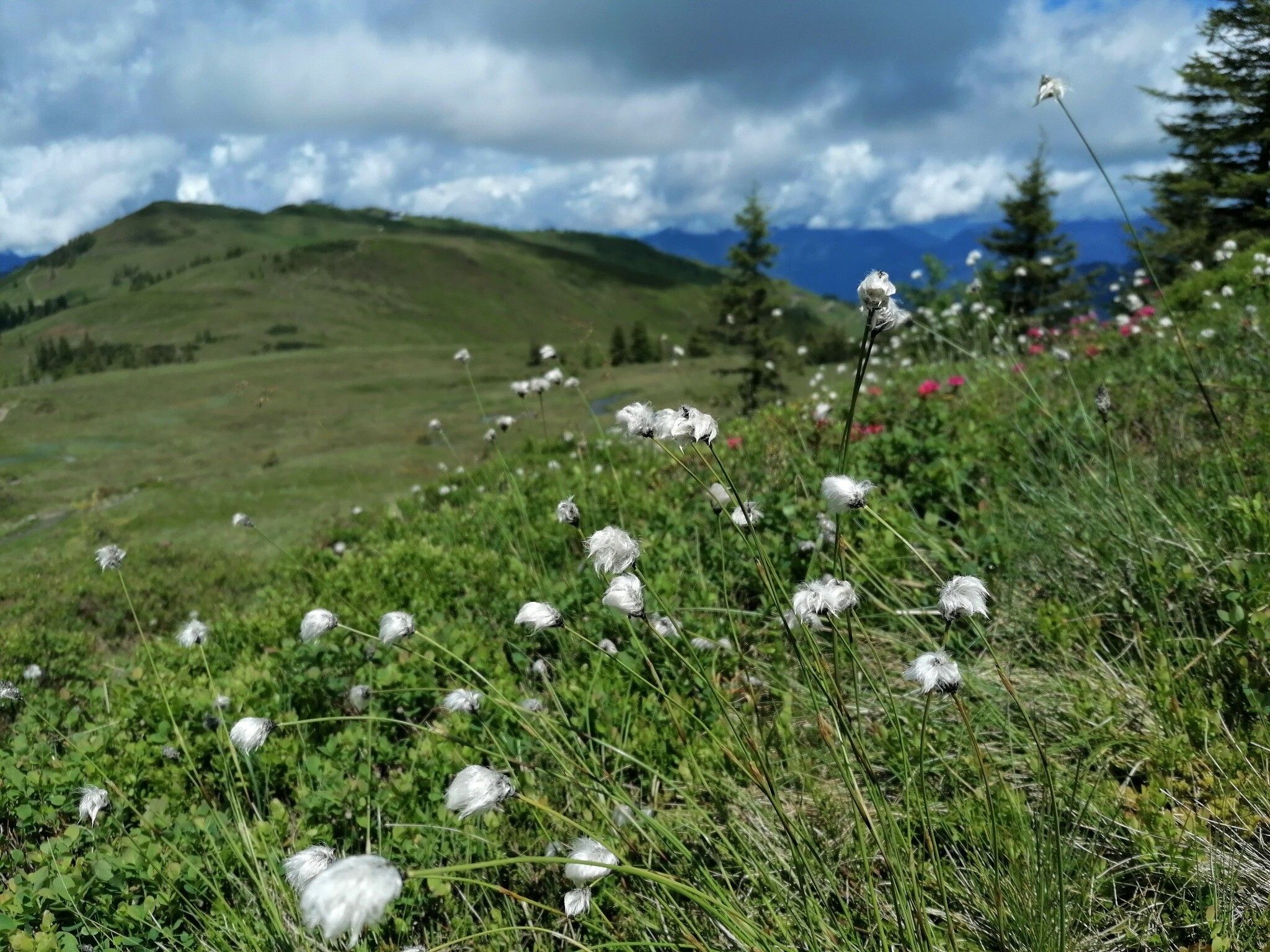
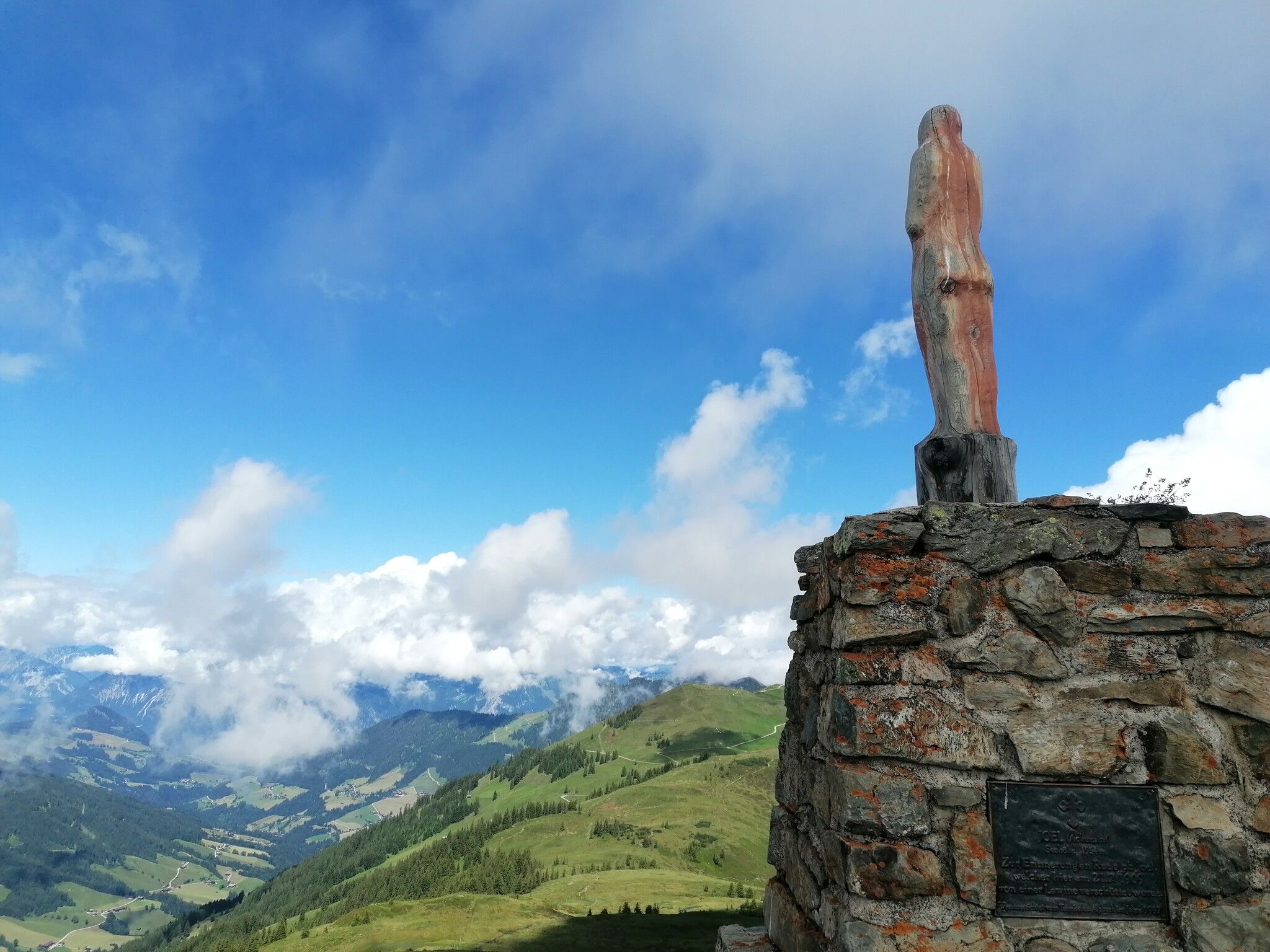
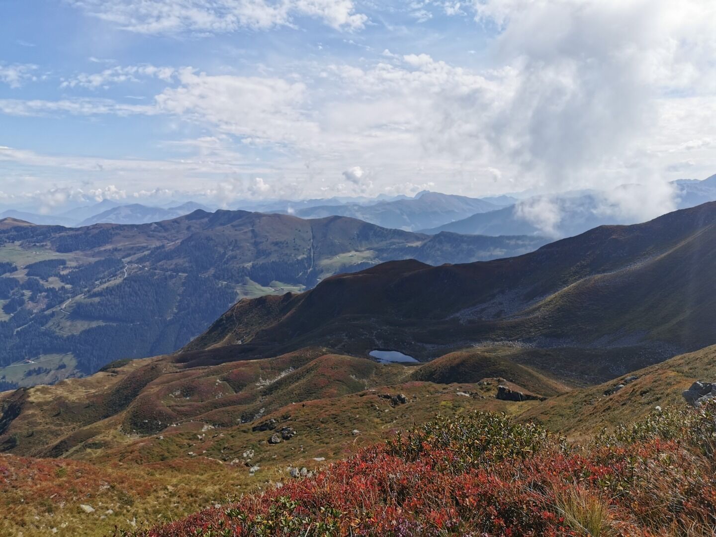
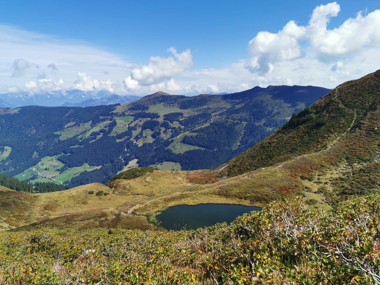
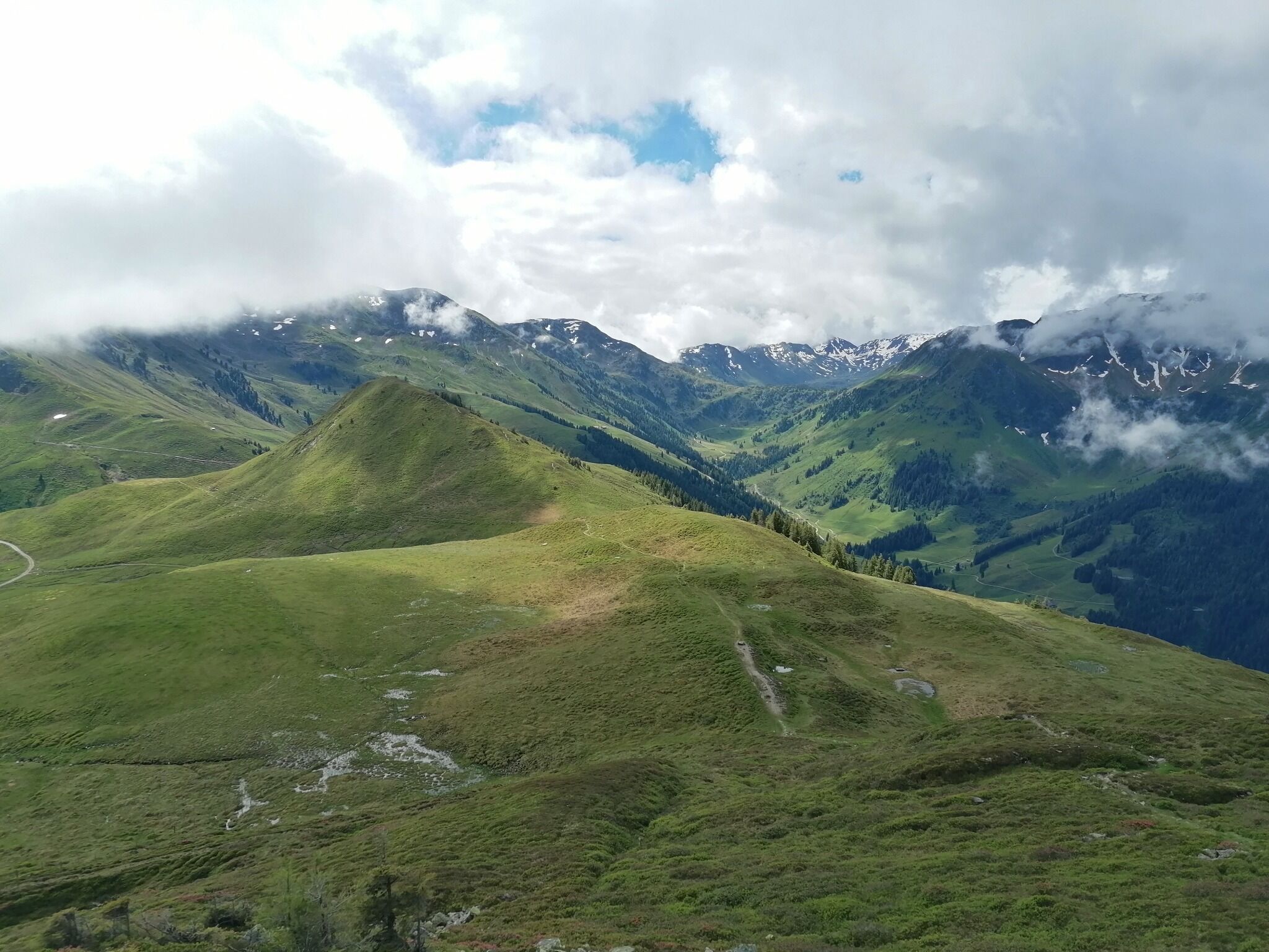
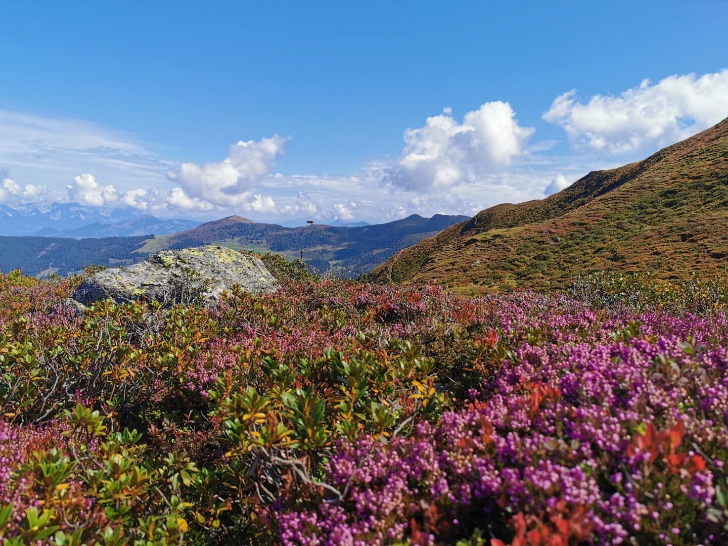
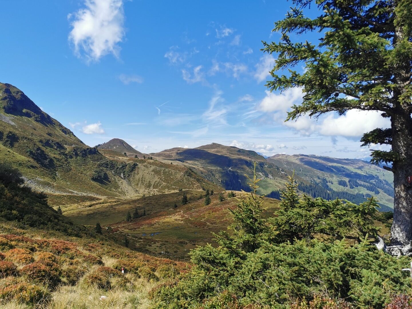
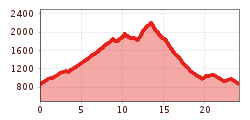
The starting and finishing point of this route is the Schatzbergbahn parking lot in Auffach. Immediately after the start, a steady climb begins towards the Mitterbergalm. From there, the trail continues in switchbacks up to the Schatzberg. From the Schatzberg, the route leads via the Sternboden and on over the Joelspitze to the Lämpersberg. This section runs predominantly along high-altitude terrain. From the Lämpersberg, a steep descent leads down to the Baumgartenalm. From there, the trail continues downhill back to Auffach and the starting point at the Schatzbergbahn.

Getting here

  • Arrival by public transport

    VVT line 770

  • Parking

    Schatzbergbahn 

Newsletter

The mountain is calling? So does our newsletter!

In our monthly newsletter we reveal the best holiday tips for Tyrol.