

Place:Kappl
:Alpine pasture / hut / mountain restaurant
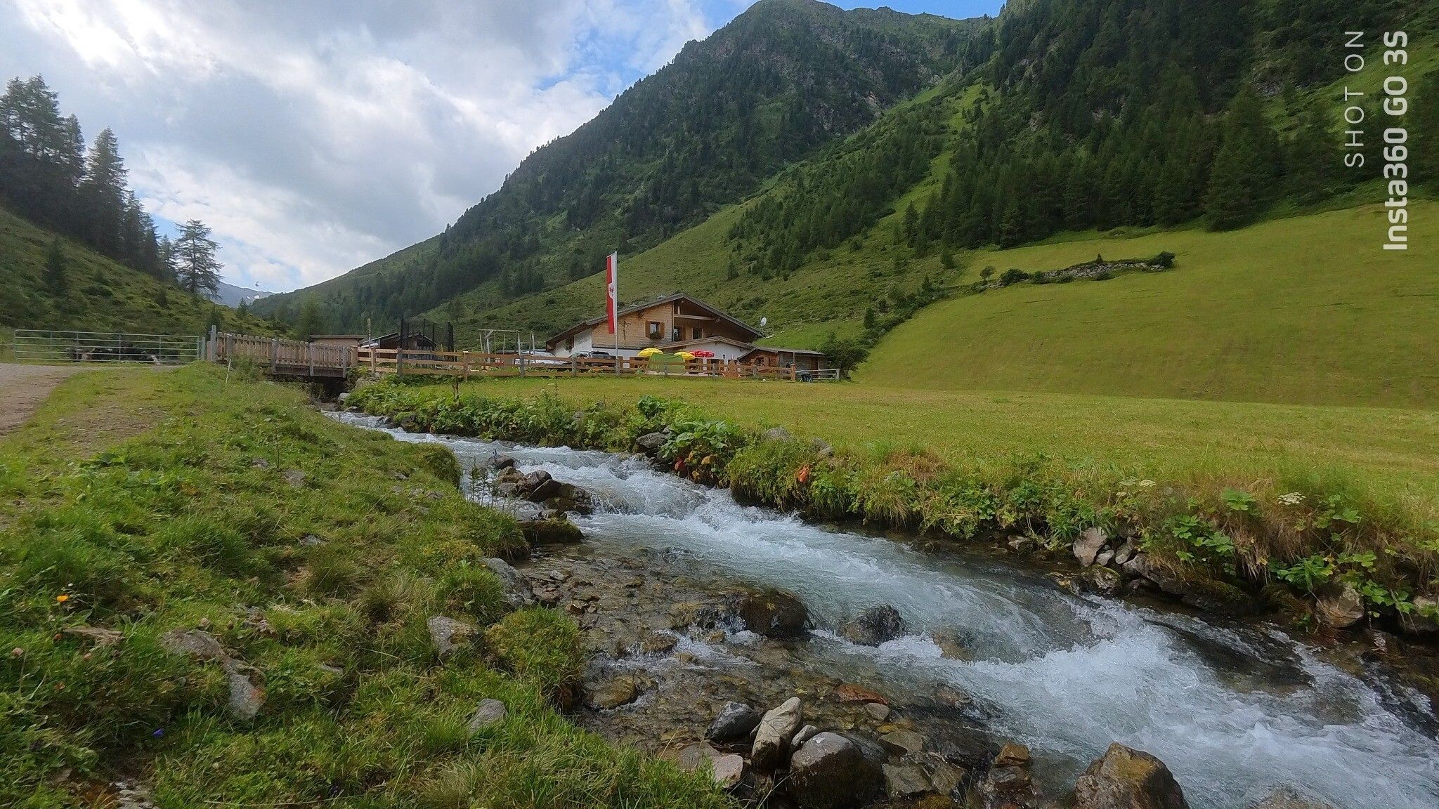

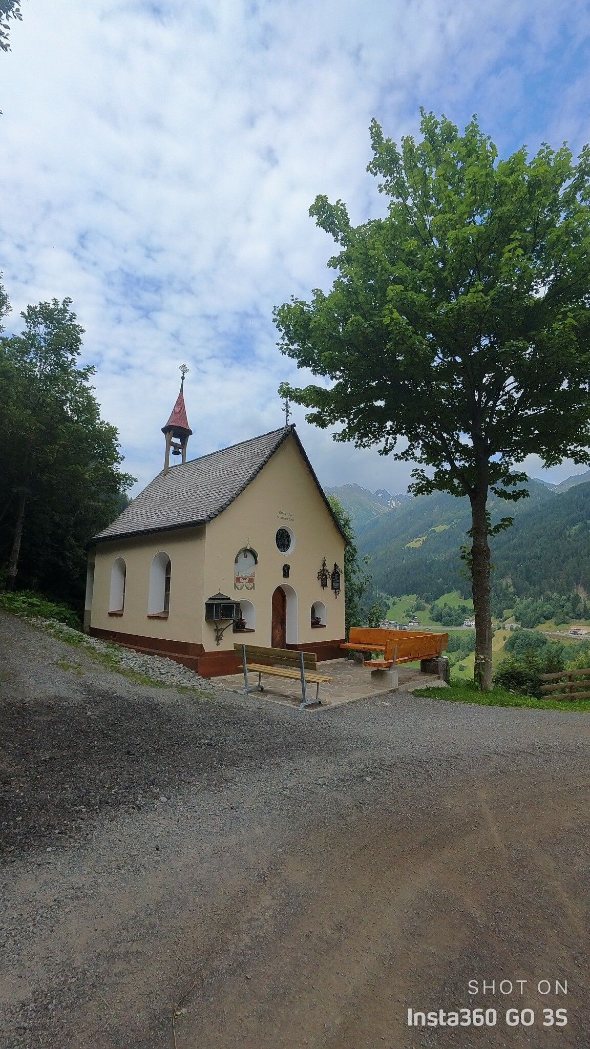
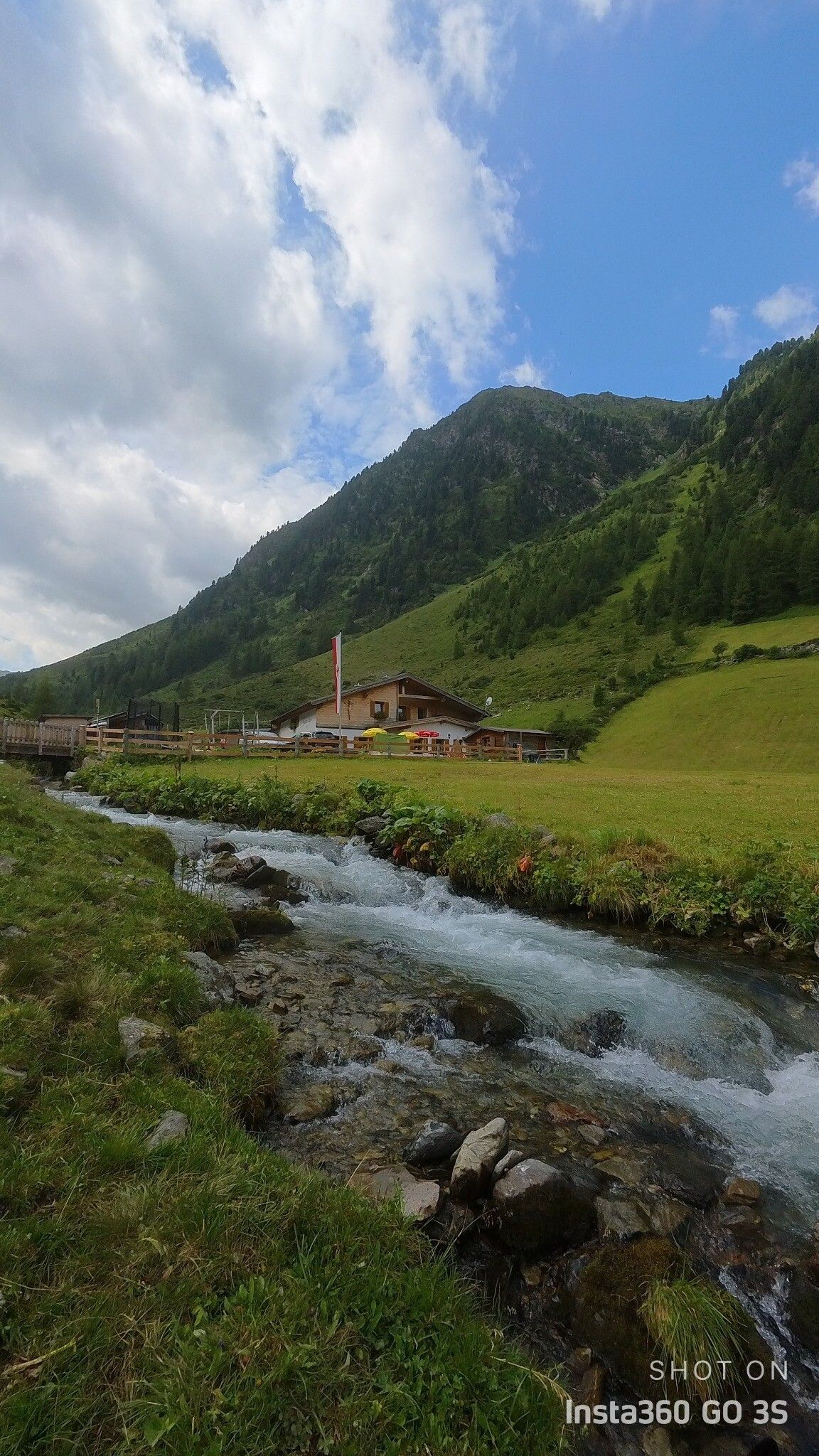
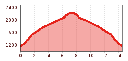
The mountain run to the Mittagskopf is ideal for experienced trail runners who want to combine an impressive landscape with a varied route. From the car park of the Diasbahn cable car in Kappl, the route passes the rushing waterfall to the Rotwegkapelle and on to the Visnitz Alpe lodge. The last section leads up to the Mittagskopf, where an impressive view of the surrounding mountain landscape opens up.
With the railway station in Landeck, the Paznaun is optimally connected to the Austrian train network. From Landeck-Zams station, only a short bus ride separates you from the Paznaun. Every half hour, line bus 260 runs from there through the valley. Bus stop: Kappl Bergbahn
The autoroute (A12 (westbound) or A14 (eastbound)) leads you to the Arlbergschnellstraße (S 16). At the exit for Pians, turn onto the Paznauntalstraße (B 188) and follow its course into the Paznaun.
Parking area Bergbahnen Kappl


