
Trail running Mountainrun Pezinerspitze See

See /
Route length: 22.5 km
Duration: 5:00 h

Tour information

  • Length: 22.5 km
  • Duration: 5:00 h
  • Elevation uphill:1,644 hm
  • Elevation downhill:1,646 hm
Highest point2,545 m

Starting point

Valley Station Cable car See

Finishing point

Valley Station Cable car See

Best time of year

  • January
  • February
  • March
  • April
  • May
  • June
  • July
  • August
  • September
  • October
  • November
  • December
Source: Tourismusverband Paznaun - Ischgl

Description

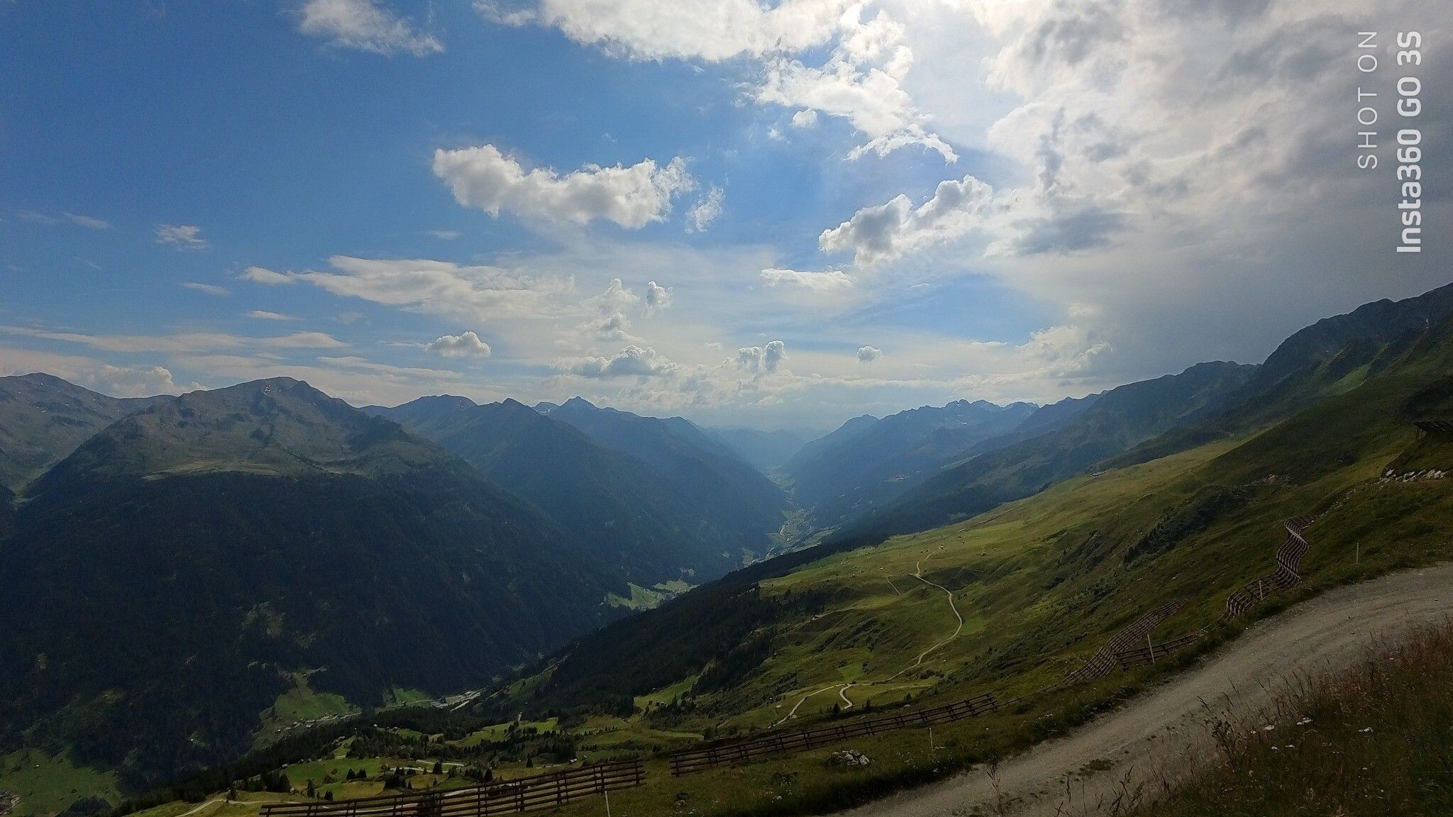
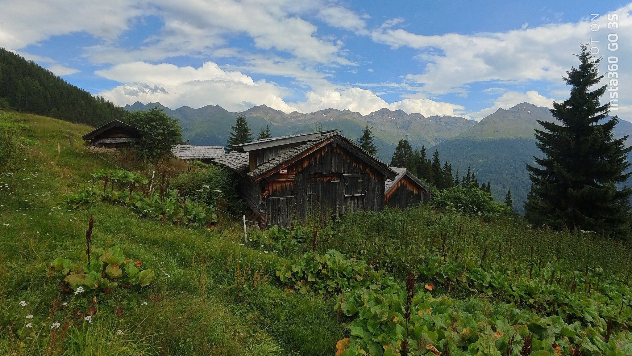
The mountain run to the Pezinerspitze in See is a very demanding tour for experienced trail runners who love alpine challenges. From the starting point at the Bergbahnen See, the route initially heads north up to Schrofen and to the village Außerlangesthei. From there, it goes uphill over the Langestheialpe to the Pezinerspitze.
 

Getting here

  • Arrival by public transport

    With the railway station in Landeck, the Paznaun is optimally connected to the Austrian train network. From Landeck-Zams station, only a short bus ride separates you from the Paznaun. Every half an hour, line bus 260 runs from there through the valley. Bus stop: See Dorf/Bergbahn

  • Parking

    The autoroute (A12 (westbound) or A14 (eastbound)) leads you to the Arlbergschnellstraße (S 16). At the exit for Pians, turn onto the Paznauntalstraße (B 188) and follow its course into the Paznaun to the valley station of the cable car in See.
    Parkingarea Medrigjochbahn See

Weather

Today

light rain showers
10°C/5°C
80%0.8l5 km/h

Wed

partly Cloudy
13°C/5°C
50%1.3l5 km/h

Thu

light rain showers
11°C/5°C
85%9.8l5 km/h
Newsletter

The mountain is calling? So does our newsletter!

In our monthly newsletter we reveal the best holiday tips for Tyrol.
