Trail running Panorama Trail Längenfeld 6.5k

Längenfeld / Stubaier Alpen
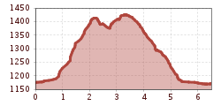
Route length: 6.5 km
Duration: 1:30 h

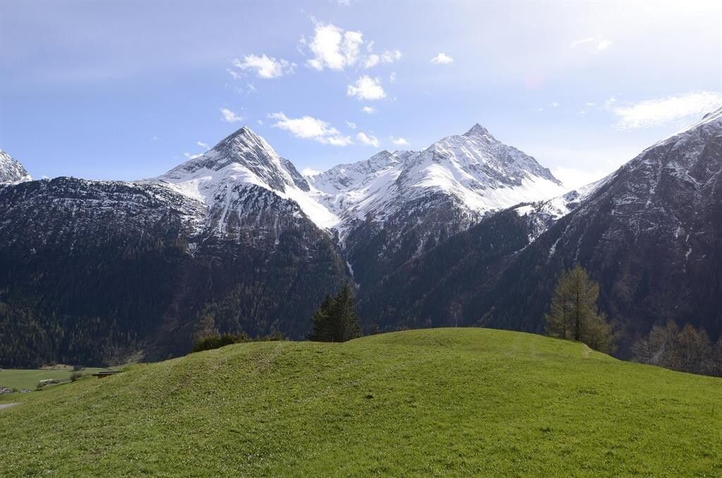
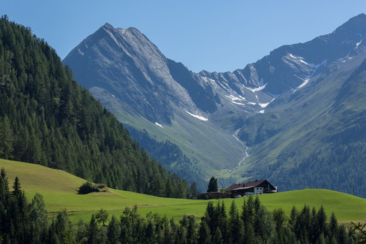
Beautiful, short trail running route around the Ötztal village Längenfeld with a nice view from above of the valley.

Tour information

  • Length: 6.5 km
  • Duration: 1:30 h
  • Elevation uphill:427 hm
  • Elevation downhill:428 hm
Highest point1,440 m

Starting point

Sports Center Längenfeld

Finishing point

Sports Center Längenfeld
  • Fitness level 3 / 6

Best time of year

  • January
  • February
  • March
  • April
  • May
  • June
  • July
  • August
  • September
  • October
  • November
  • December

Equipment

Please observe any path closures and be considerate of pedestrians. This route is especially busy with walkers and hikers on beautiful summer days. The paths are very well developed and wide enough for all outdoor athletes to have space.

Alpine emergency number: 140

Safe travels!

Download the mountain rescue emergency app in advance. If you need assistance, you can transmit your exact coordinates via the app.

EMERGENCY APP for download:

Android: https://play.google.com/store/apps/details?id=at.tirol_notfall&hl=de

iPhone: https://apps.apple.com/at/app/sos-eu-alp/id400099520

Good footwear (trail running shoes), rain jacket, provisions for a 4.5 km run.

Source: Ötztal

Description

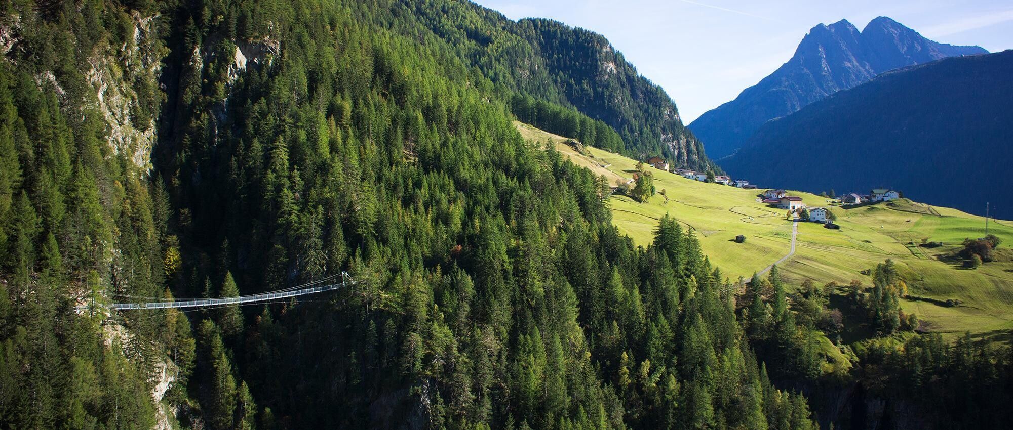
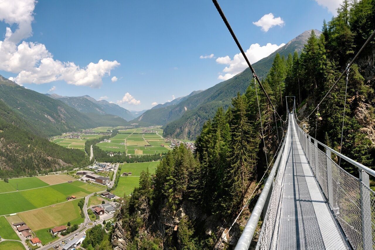
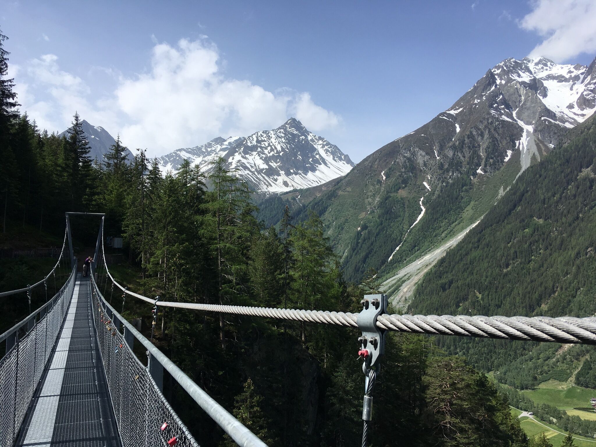
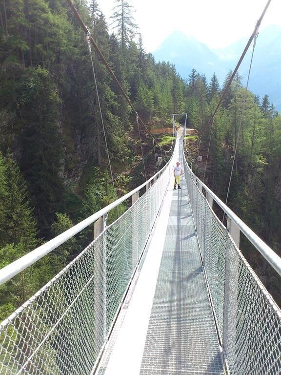
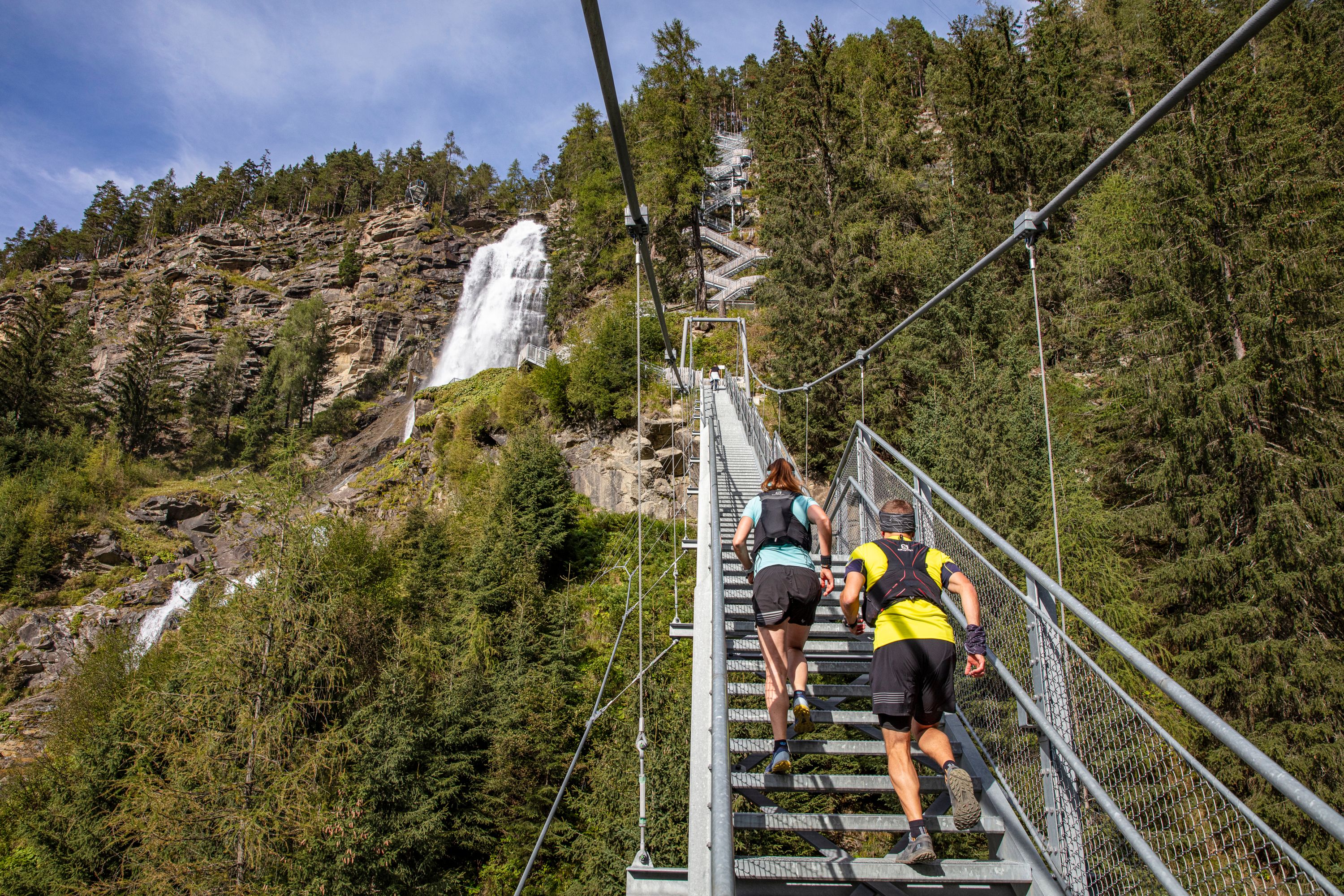
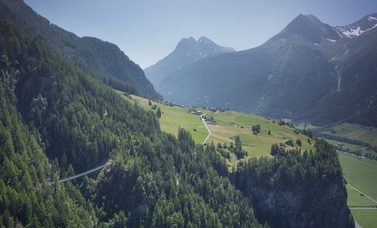
The start is directly at the sports center in the village center of Längenfeld. Parking is available there, and the bus stop is only about 200m away right by the church. Along the newly built Fischbach promenade, you then cross the federal road and continue towards the "Strelesperre" or further towards the mountain hamlet "Brand." The small settlement with two houses (a farm and a guesthouse) is not reached directly but bypassed somewhat above by a forest path. This leads south directly to the suspension bridge. From there, you have a magnificent view of Längenfeld and the valley basin; shortly after, you reach the somewhat larger hamlet Burgstein. There are dining options here; otherwise, take the path via the so-called "old Burgstein road" - a gravel road - back down to the valley to Längenfeld. After crossing the main road again, you can already see the AQUA DOME - the Tirol thermal spa Längenfeld right in front of you; to the right of it, the path returns to the Fischbach and after 6.5 kilometers you are back at the starting point sports center. A nice short route with about 450 meters of elevation gain and some highlights of Längenfeld.


Getting here

  • Arrival by public transport

    Travel comfortably and safely by train. The final stop or exit point is ÖTZTAL station. Afterwards, travel conveniently and quickly with public transportation or local taxi companies to the middle of the valley to the municipality of Längenfeld. From the "Kirche" stop, follow the signs to the "Sports Ground," which is about 200 meters (10 minutes) from the bus stop. The current bus schedule is available at: http://fahrplan.vvt.at
  • Parking

    Free parking is available directly at the starting point near the sports center.

More tours in the surrounding area

Newsletter

The mountain is calling? So does our newsletter!

In our monthly newsletter we reveal the best holiday tips for Tyrol.