
Trail loop in Jochberg requiring good fitness. This route rewards all with sensational downhill sections and views of Kitzbühel and the Wilder Kaiser.
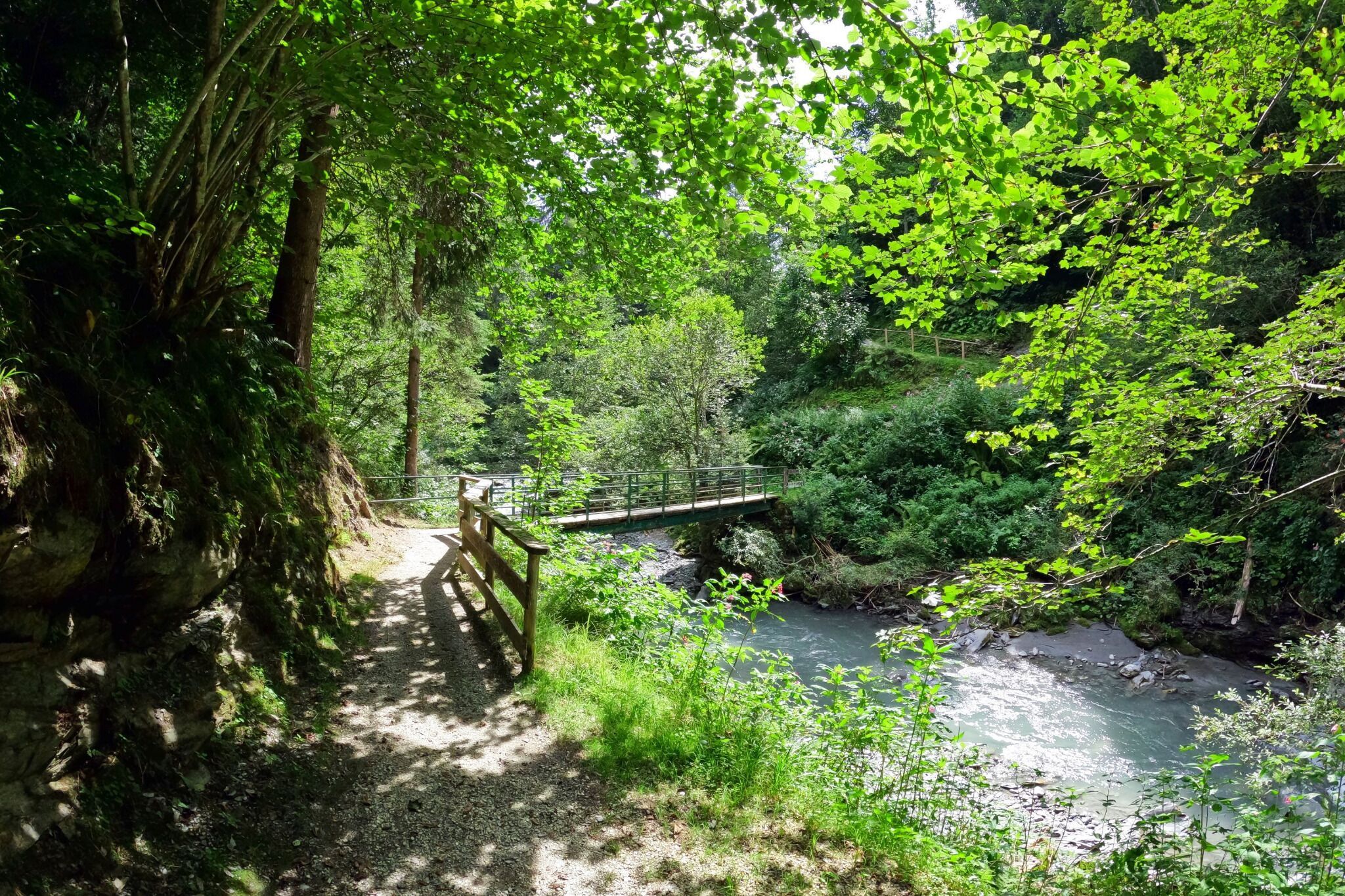
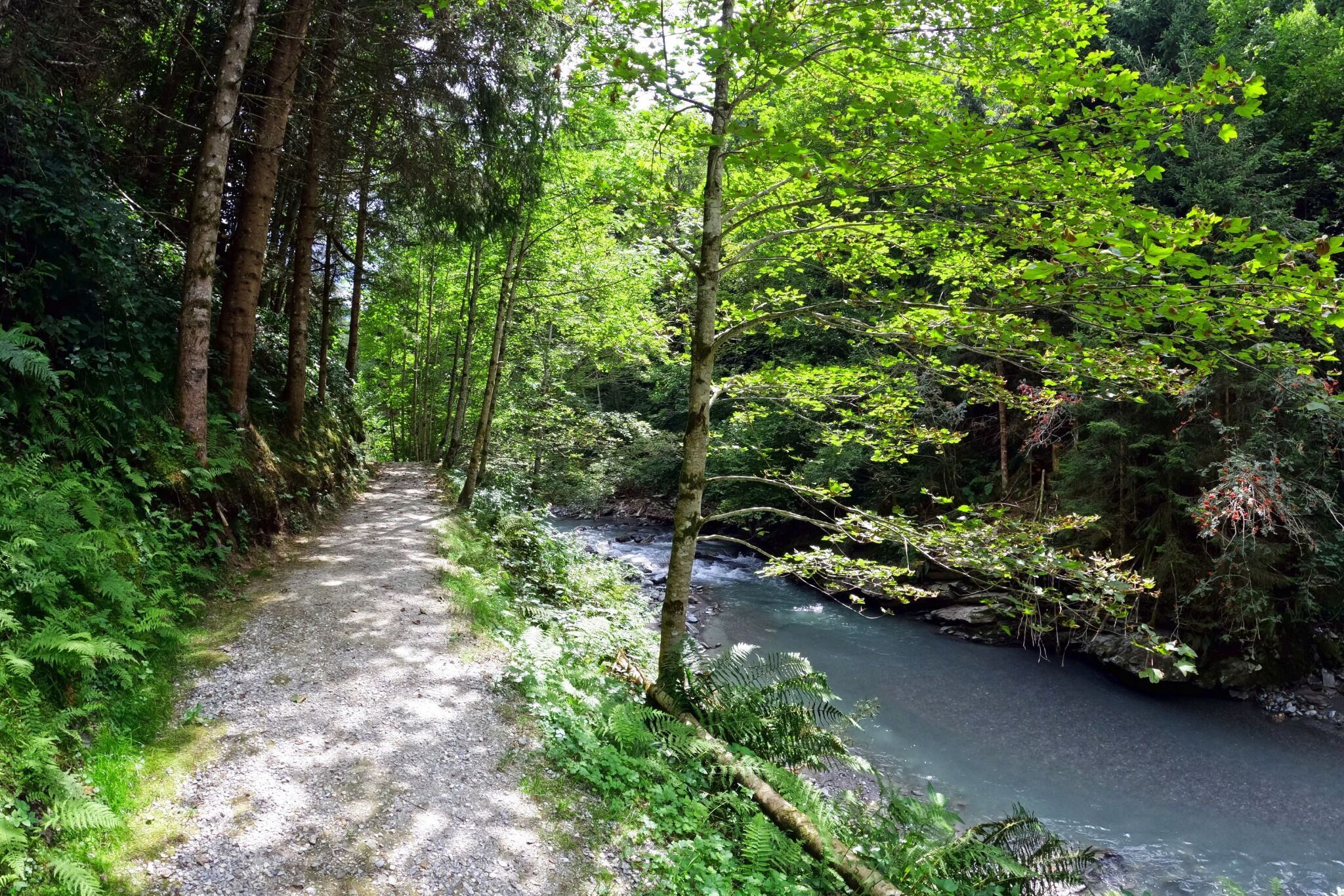
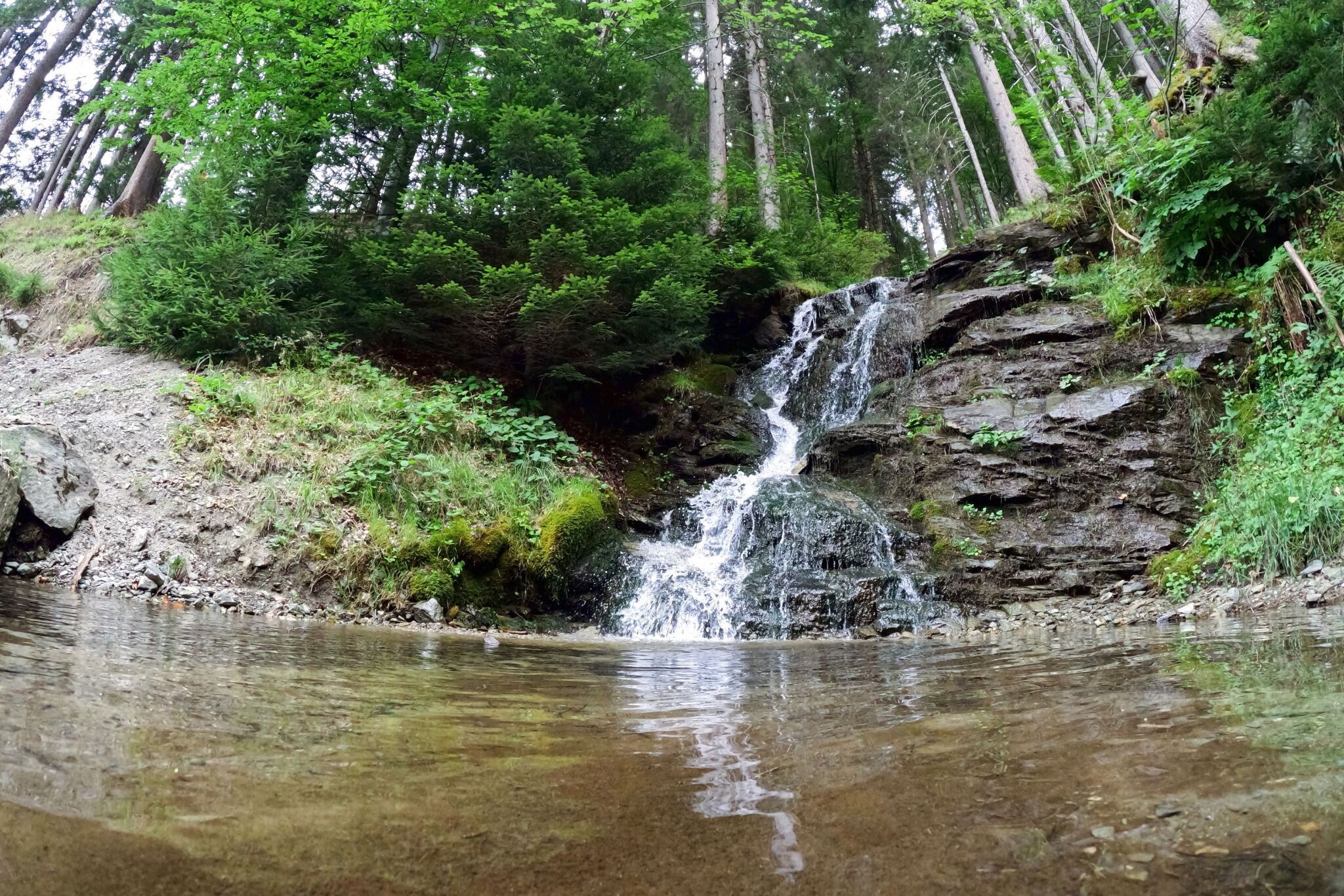
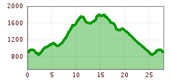
Start this loop in Jochberg at the Wagstätt gondla valley station. Head towards the church, then turn right towards "Waldschwimmbad" (wild swimming pool). The trail leads into the forest, running along the Kitzbüheler River before ascending to the "Waldschwimmbad." Pass the pool and turn left in the Waldhausbichl district. After a short stretch on an asphalt road, turn right onto a gravel road towards "Talalm."
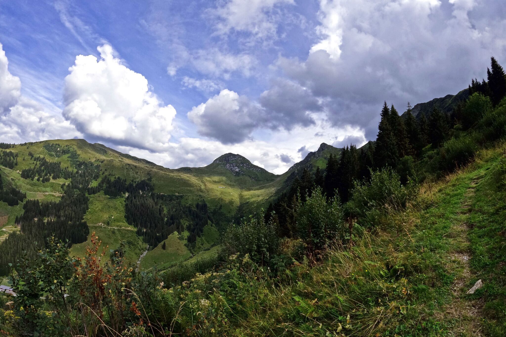
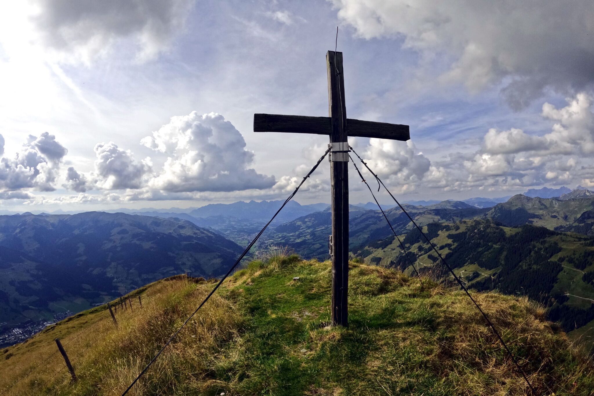
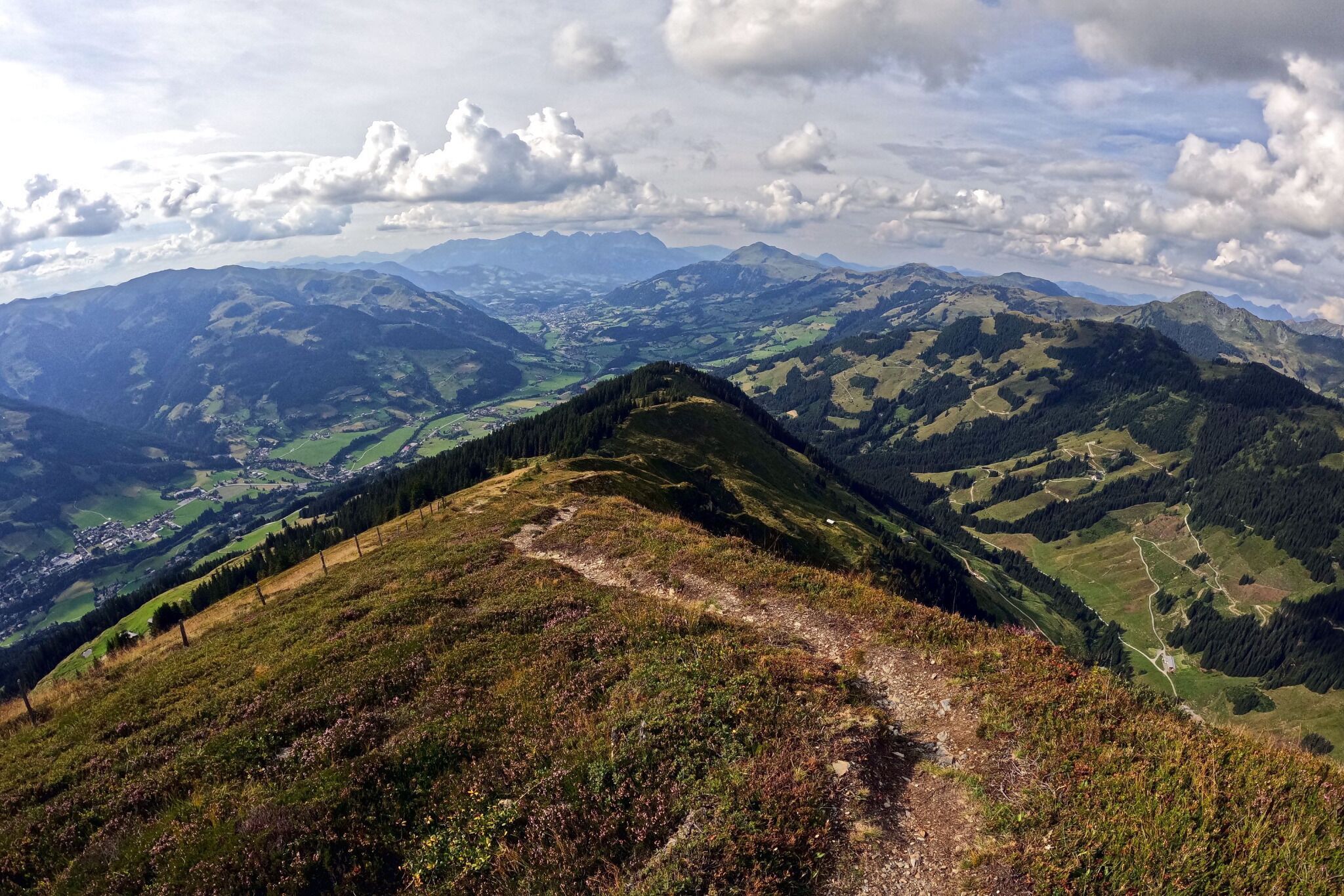
Climb up the forest road until just below "Obere Talalm," where you turn left onto a hiking trail. The trail fun begins here, circling the mountain ridge with lovely views of Kelchalm and Tristkogel. Before reaching Schlichtenalm (hut), the trail ascends steeply but is technically easy. This steep path leads to the ridge, which you follow to the summit of Schützkogel, a beautiful viewpoint in Jochberg.
From the summit, the downhill is 99% trails back to the starting point. Follow signs to "Wildalm" and then towards "Jochberg." The trail descends into the valley bottom, with a final short climb bringing you back to the starting point. The ridge and downhill make you quickly forget the initial gravel section.


