

Place:Leutasch
:Restaurant
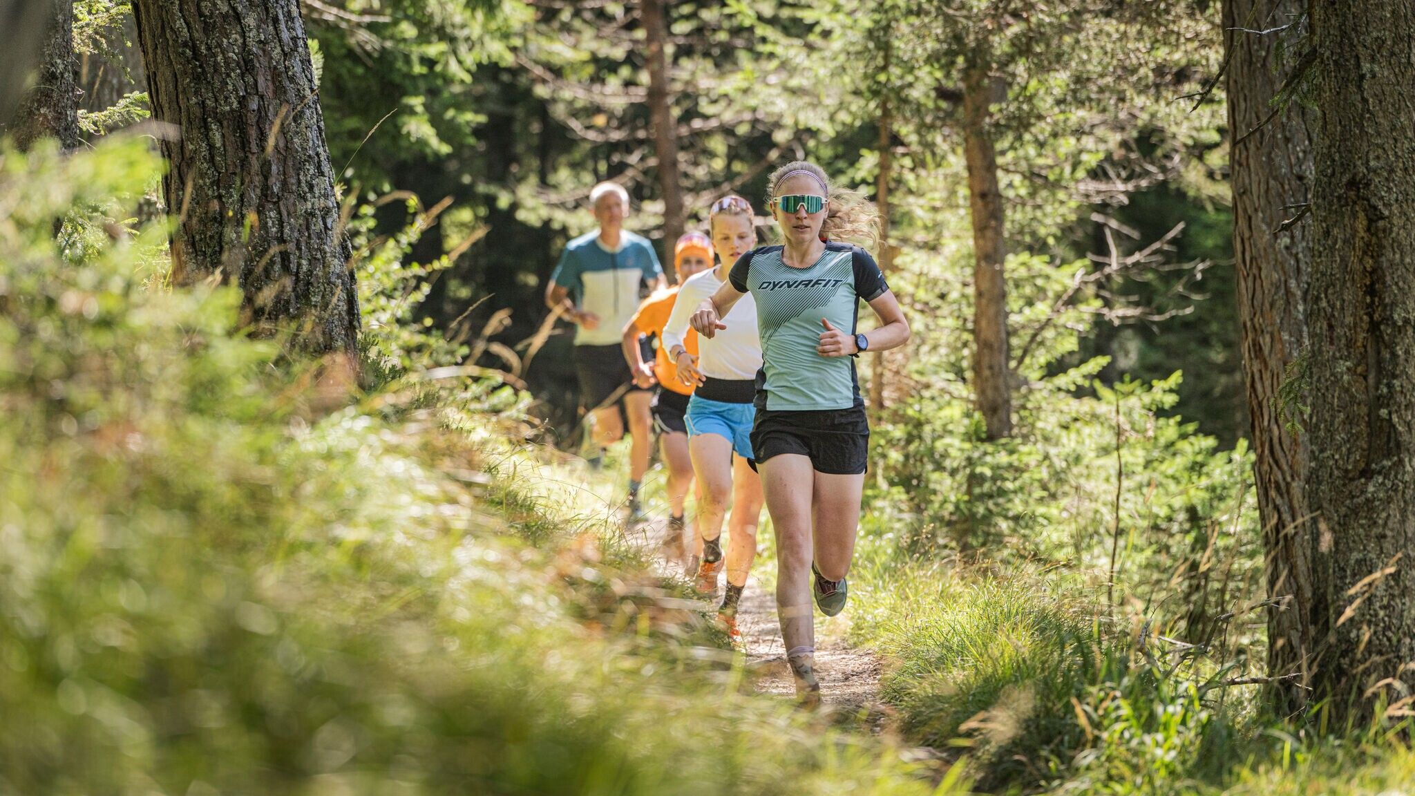
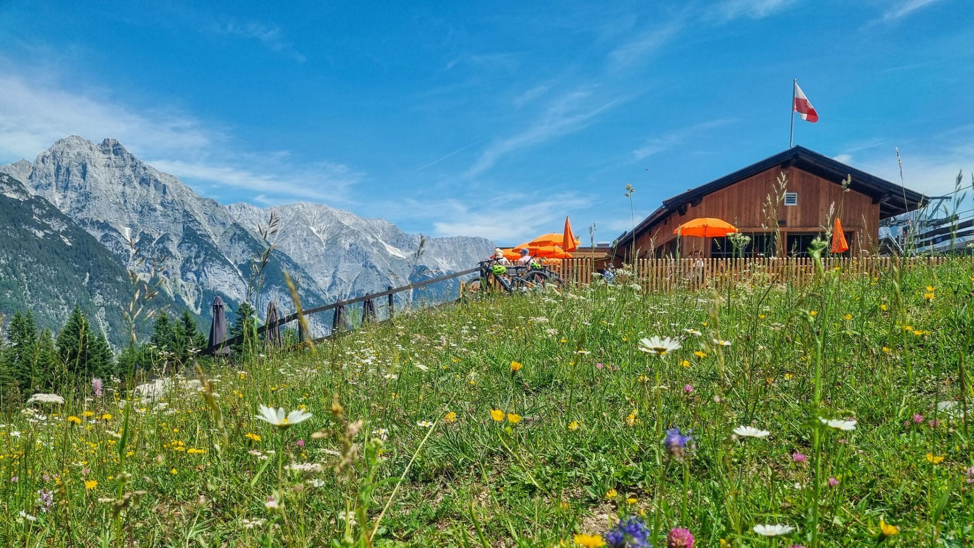
Easy trail running loop from Leutasch along the Leutascher Ache, through Hochmoos, and via the Steckenweg to the Katzenkopfhütte.
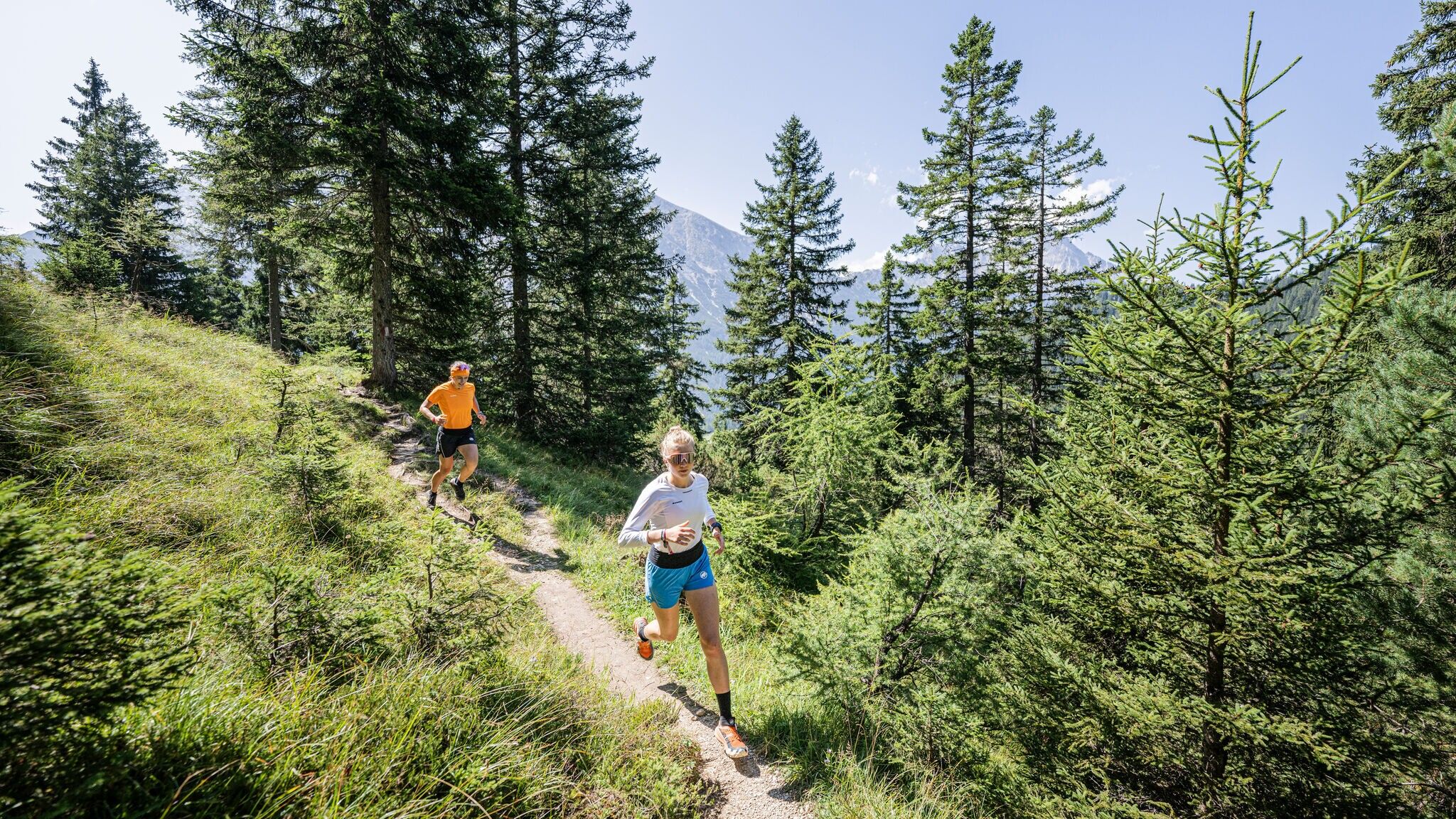
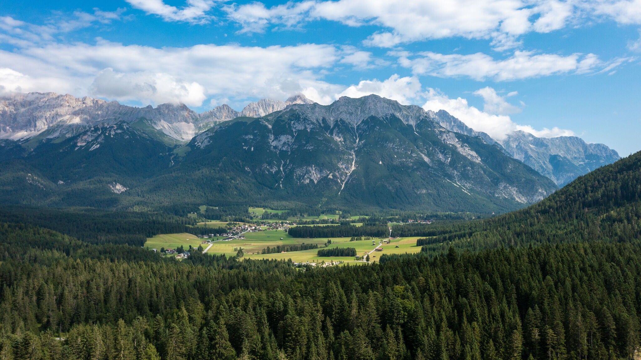
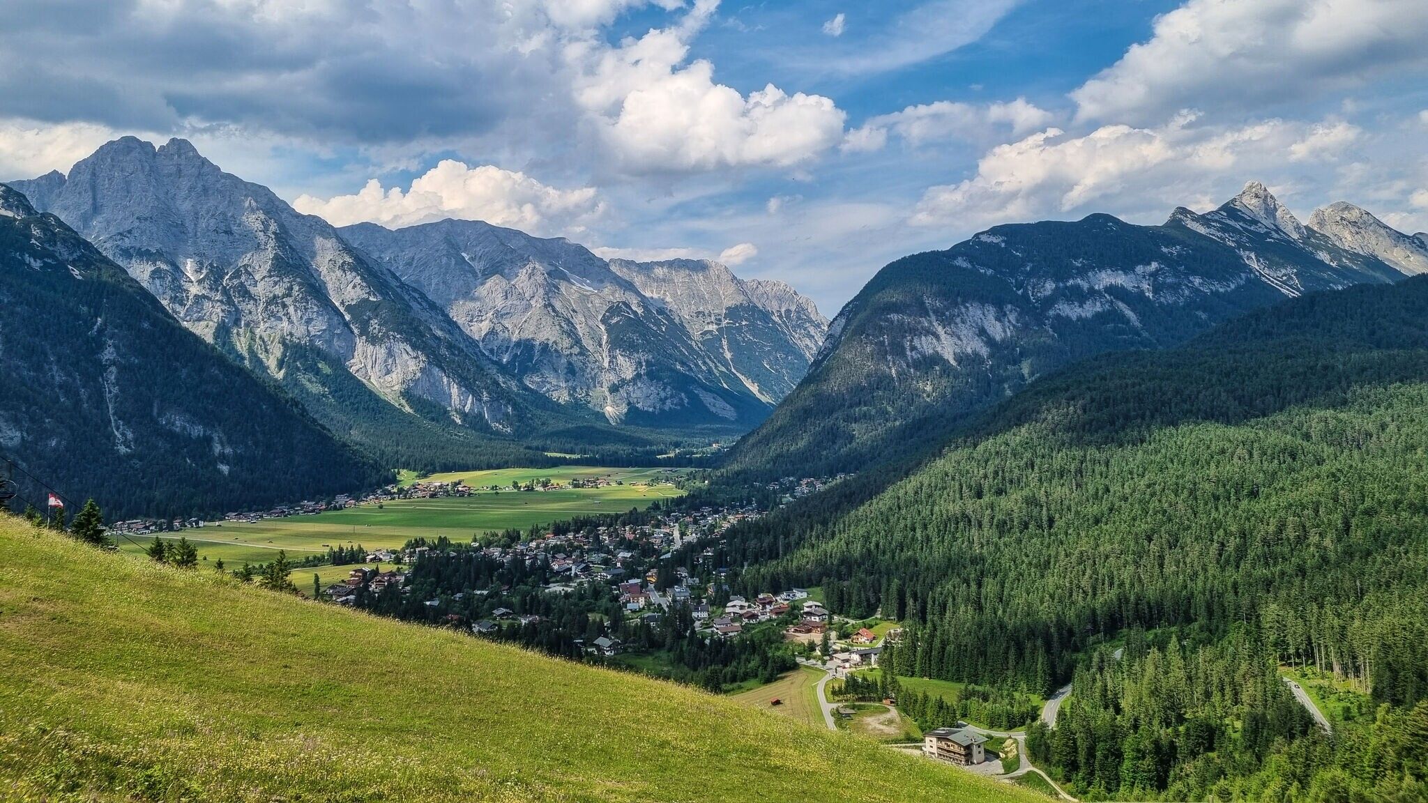
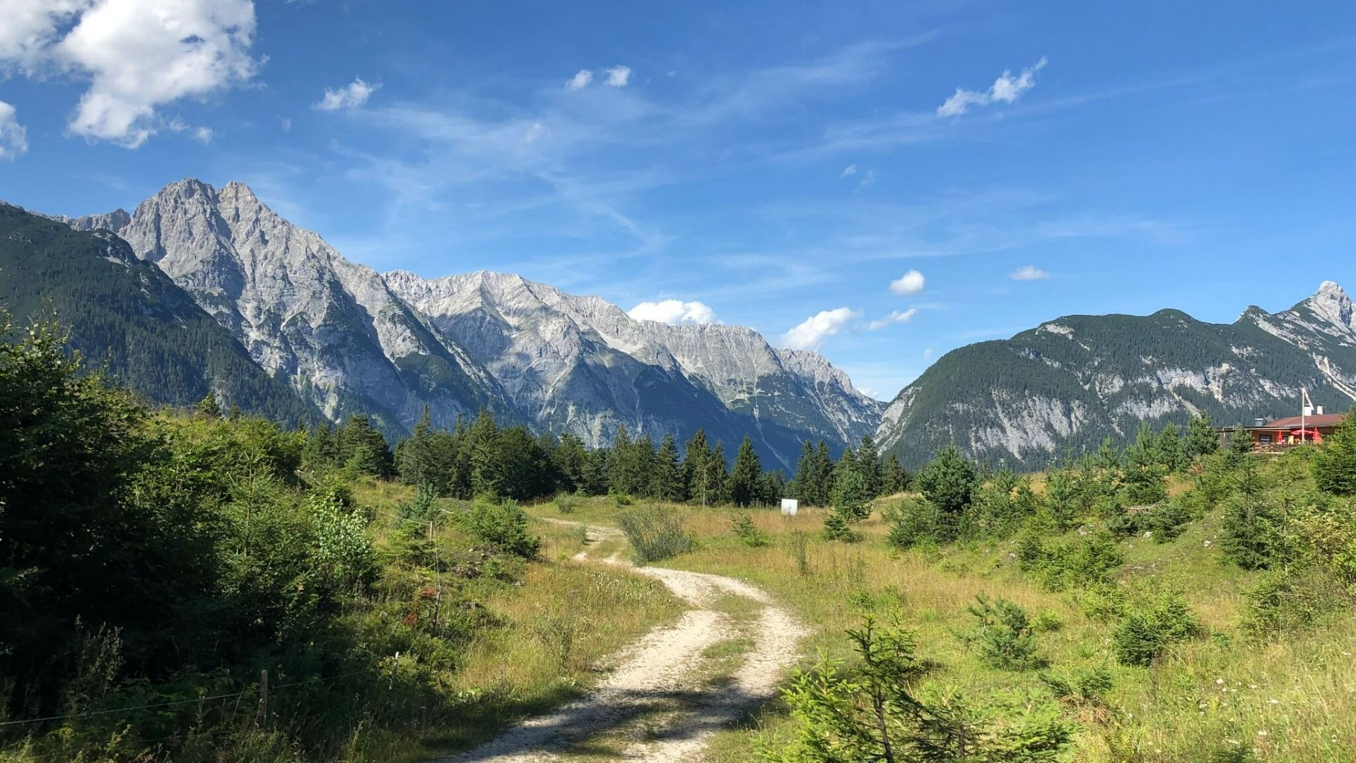
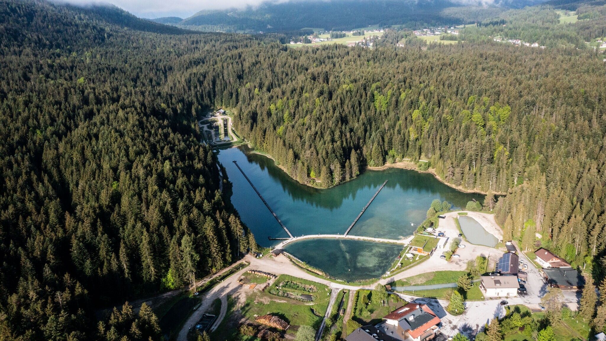
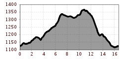
The route starts at Alpenbad Leutasch, following the Leutascher Ache upstream until the Achweg junction. Here, take a left turn, followed by a short right curve onto a gravel path.
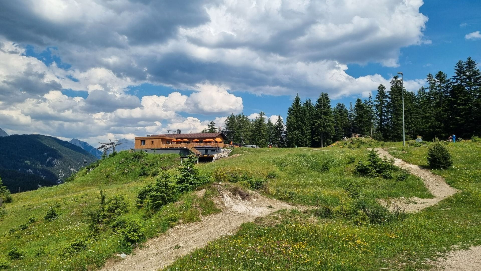
After about 3 kilometers, the first ascent begins at Buchener Straße, continuing on a gravel path. Shortly before reaching the highest point, the route transitions into a forest trail, leading slightly downhill towards the Katzenkopfhütte.
From the Katzenkopfhütte, the trail turns left onto the Wurzelsteig—a narrow, technically demanding path with numerous roots—before reaching a forest road. Here, take a right turn, then follow the path downhill back to the starting point.
This loop combines runnable gravel paths with more challenging forest trails, offering an exciting technical section on the Wurzelsteig.
The indicated running time is a guideline and depends on personal fitness.
Take the bus from Seefeld, Telfs or Mittenwald to the "Weidach Alpenbad/Brücke" stop.
All real-time connections can be found in the route planner.
From Innsbruck, take the A12 Inntal Motorway to the Seefeld/Garmisch exit, then continue over Zirlerberg to Seefeld and on to Leutasch. From Landeck/Reschen, follow the A12 to the Telfs East exit, then take the Telfer Berg route to Leutasch. From Garmisch, travel via Mittenwald to reach Leutasch.
In Leutasch, take the Buchener Landesstraße to the Ganghoferbogen near the soccer field. Cross the bridge, then turn right towards the Alpenbad Leutasch. Parking is available at "Parkplatz Alpenbad" P23.
Parking P23 "Parkplatz Alpenbad"
Alternatively, you can park at "Parkplatz Fußballplatz" P21 and access the trail from there.
You can find all other parking options in Leutasch here.


