
Trail running Sunseita Trail 1000hm

Kappl /
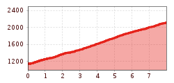
Route length: 8.0 km
Duration: 1:30 h

Tour information

  • Length: 8.0 km
  • Duration: 1:30 h
  • Elevation uphill:1,000 hm
  • Elevation downhill:0 hm
Highest point2,119 m

Starting point

Bushaltestelle Kappl Ahlesbrücke

Finishing point

Kappl Spiduralpe

Best time of year

  • January
  • February
  • March
  • April
  • May
  • June
  • July
  • August
  • September
  • October
  • November
  • December
Source: Tourismusverband Paznaun - Ischgl

Description

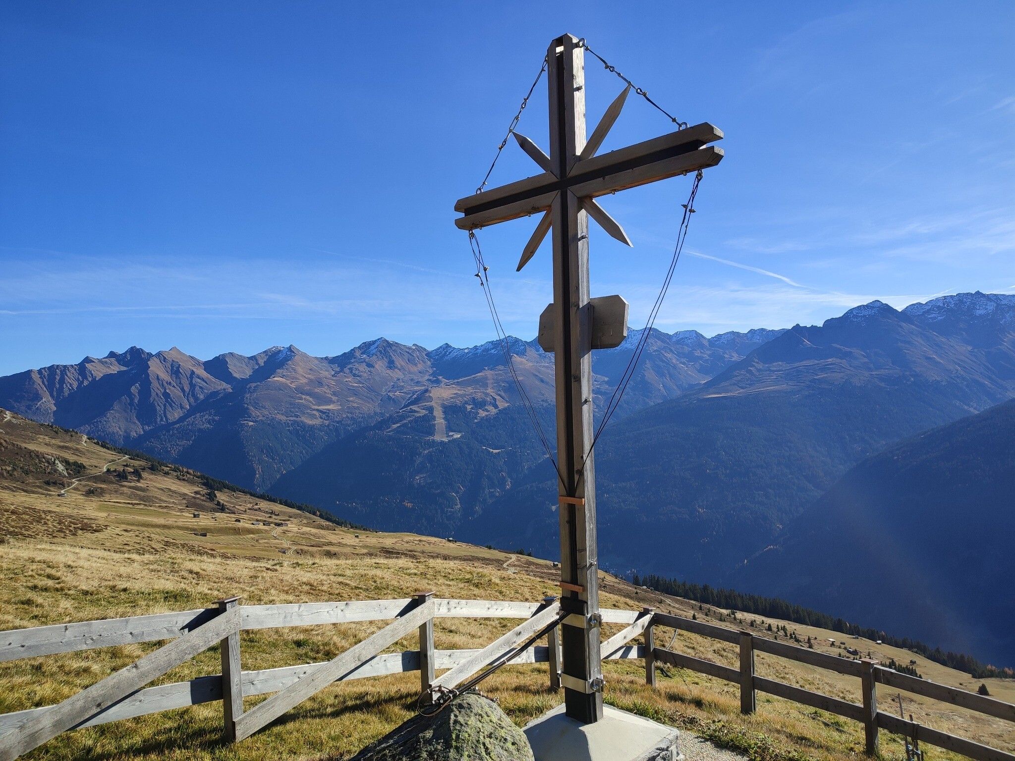
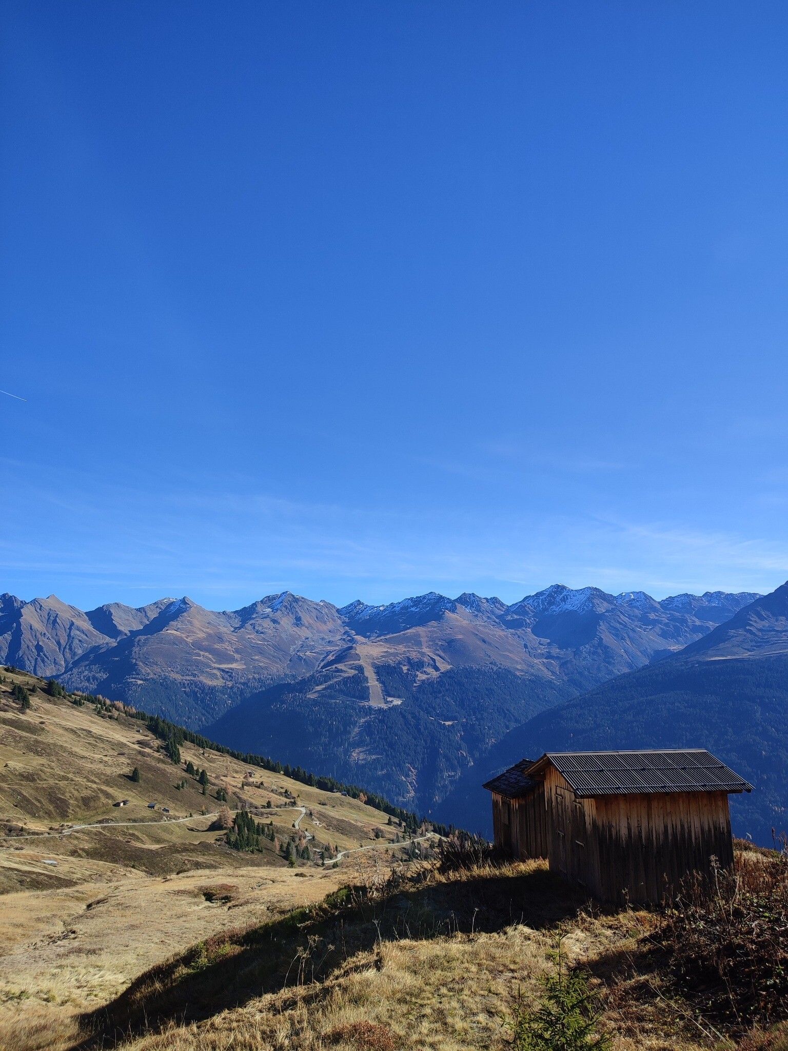
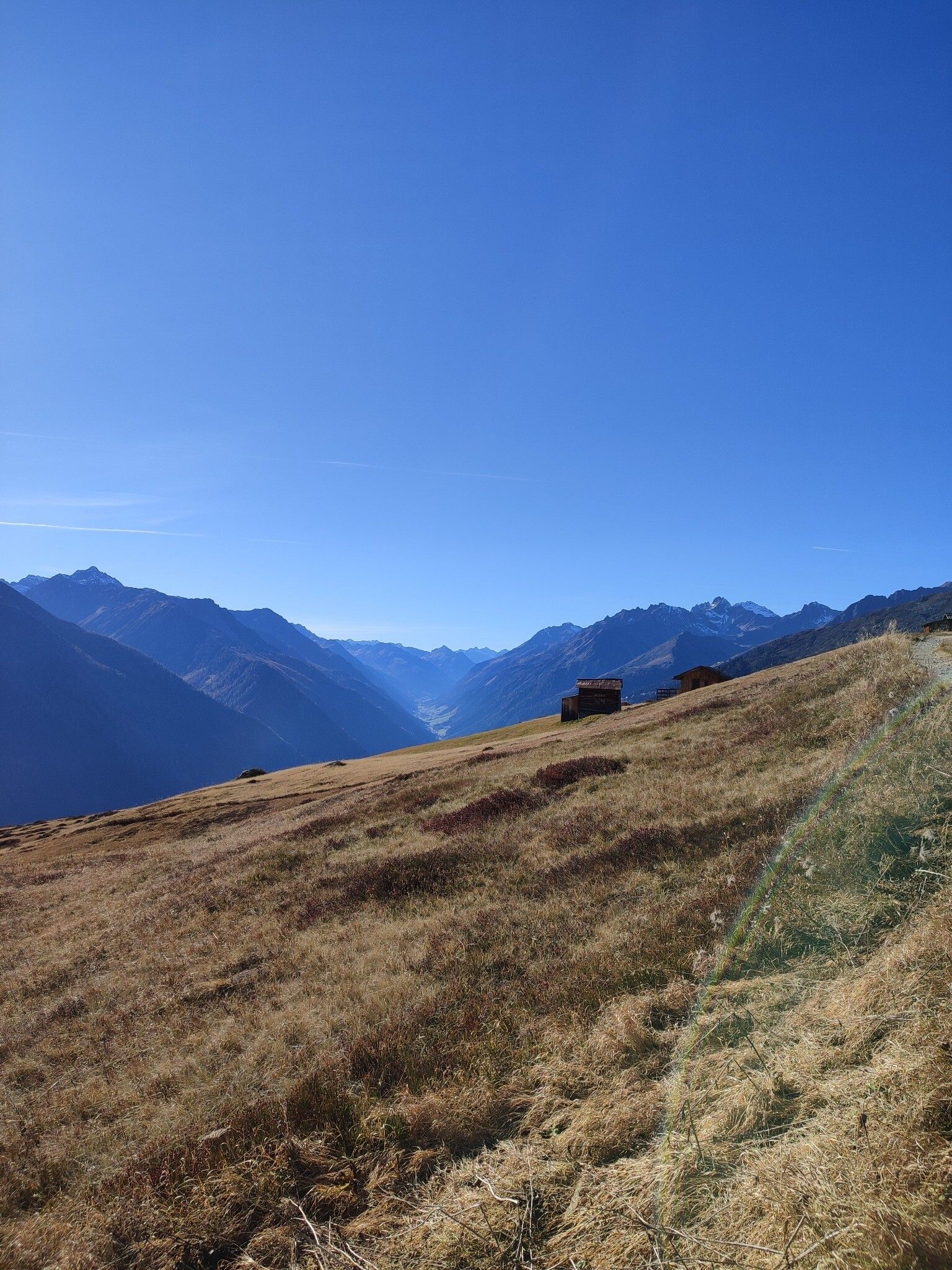
The Sunseita Trail is an 8 km forest path with 1000 m elevation gain on the sunny side of Kappl. Along the way, you'll pass charming wooden barns and mountain huts, all while enjoying stunning views of the Paznaun Valley.
 

Getting here

  • Arrival by public transport

    With the railway station in Landeck, the Paznaun is optimally connected to the Austrian train network. From Landeck-Zams station, only a short bus ride separates you from the Paznaun. Every half hour, line bus 260 runs from there through the valley. Bus stop: Ahlesbrücke Kappl

  • Parking

    The autoroute (A12 (westbound) or A14 (eastbound)) leads you to the Arlbergschnellstraße (S 16). At the exit for Pians, turn onto the Paznauntalstraße (B 188) and follow its course into the Paznaun.

Weather

Today

partly Cloudy
9°C/0°C
70%5.3l5 km/h

Sat

cloudy
5°C/0°C
65%2.7l0 km/h

Sun

light rain
10°C/0°C
75%7.8l5 km/h
Go to weather forecast
Newsletter

The mountain is calling? So does our newsletter!

In our monthly newsletter we reveal the best holiday tips for Tyrol.
