
Parking
bus J - stop "Vill Dorfstraße"
Parking is possible in Bilgerstraße in Igls at the old valley station of the Patscherkofel cable car. From there follow the signs "Zulauf-Lanser-Kopf-Loop" to the starting point.
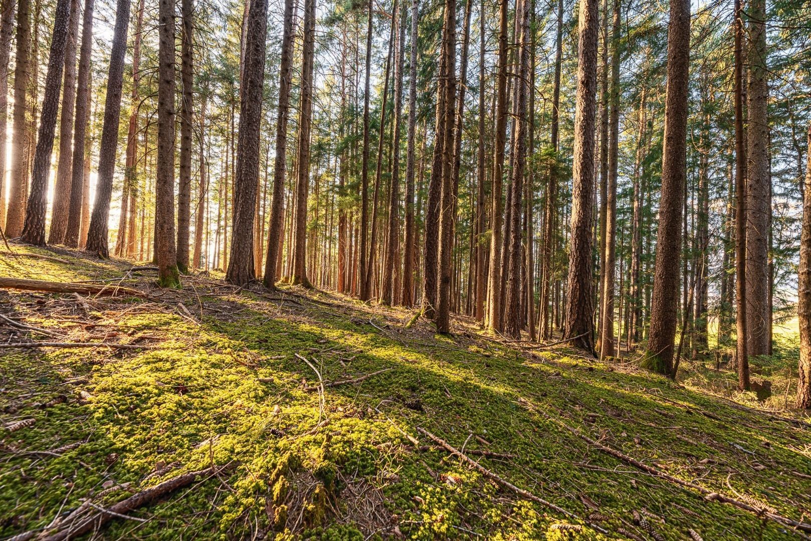
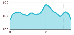
A short run around Lanser See lake and Villerkopf peak with a few short and beautiful trail sections.
This route has the same starting point as the Lanser Kopf Loop, at the Seeweg/Bachgangweg junction in the "Viller Moor" in Vill.
After a short ascent in a northerly direction, turn sharp right after approx. 200m. On the south side of the Viller Kopf hill, the trail continues in an easterly direction past the Lanser See lake and the Seerosenweiher pond until you reach a 4-way junction (trail/forest path). Turn left here in a northerly direction and after approx. 500m continue again in a westerly direction. After a 90° bend on the left, head south past the Grillhof seminar centre back to the starting point (forest path).
bus J - stop "Vill Dorfstraße"
Parking is possible in Bilgerstraße in Igls at the old valley station of the Patscherkofel cable car. From there follow the signs "Zulauf-Lanser-Kopf-Loop" to the starting point.


