Trail running Wehralm Trail 10K – Kramsach

Kramsach / Brandenberg Alps (Rofan)
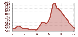
Route length: 10.2 km
Duration: 2:15 h

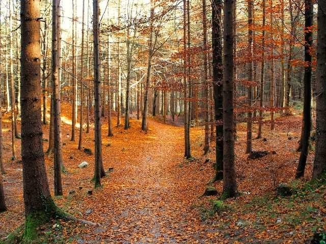
A punchy 10 km trail run with 600 m of ascent: steep forest trails, Kramsach marble, the Habach stream and Wehralm make for a varied route.
Tour information

  • Length: 10.2 km
  • Duration: 2:15 h
  • Elevation uphill:575 hm
  • Elevation downhill:575 hm
Highest point996 m

Starting point

Kramsach

Finishing point

Kramsach
  • Fitness level 4 / 6

Best time of year

  • January
  • February
  • March
  • April
  • May
  • June
  • July
  • August
  • September
  • October
  • November
  • December

Equipment

The route runs mostly on well runnable trails but contains some slightly technical sections. Pay attention to suitable shoes with grippy soles and adjust your pace to the terrain. Also for this route: inform yourself beforehand about the weather conditions – sections can be slippery when wet.
  •  
  • Closed trail running shoes with grippy soles
  • Mobile phone
  • Container for taking in fluids at the refreshment station (e.g. soft cup or soft flask)
  • Completed data sheet on the back of the bib number
  • Rescue blanket
  • Additionally, the following are mandatory for the CLASSIC challenge:
  • Rain jacket with at least 10,000mm waterproof rating
  • Small first aid kit (compress, gauze bandage, fixing tape)
Source: Alpbachtal Tourismus

Description

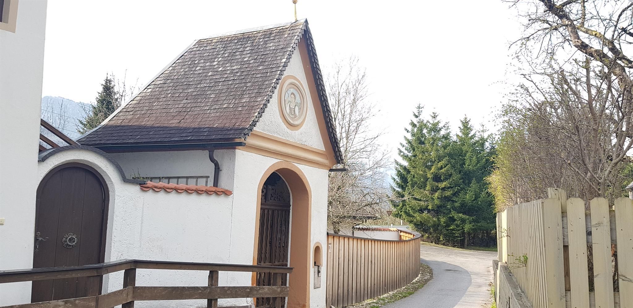
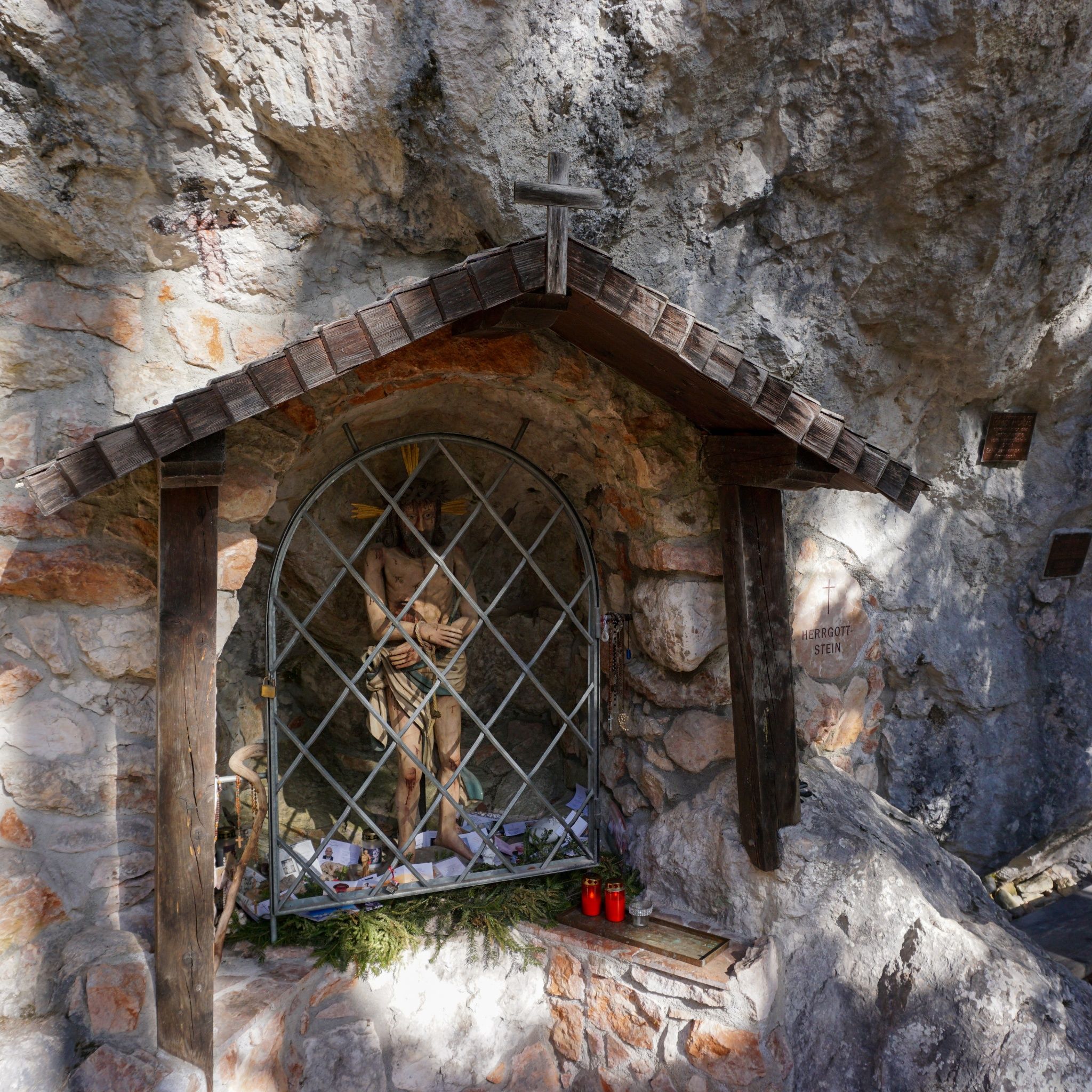
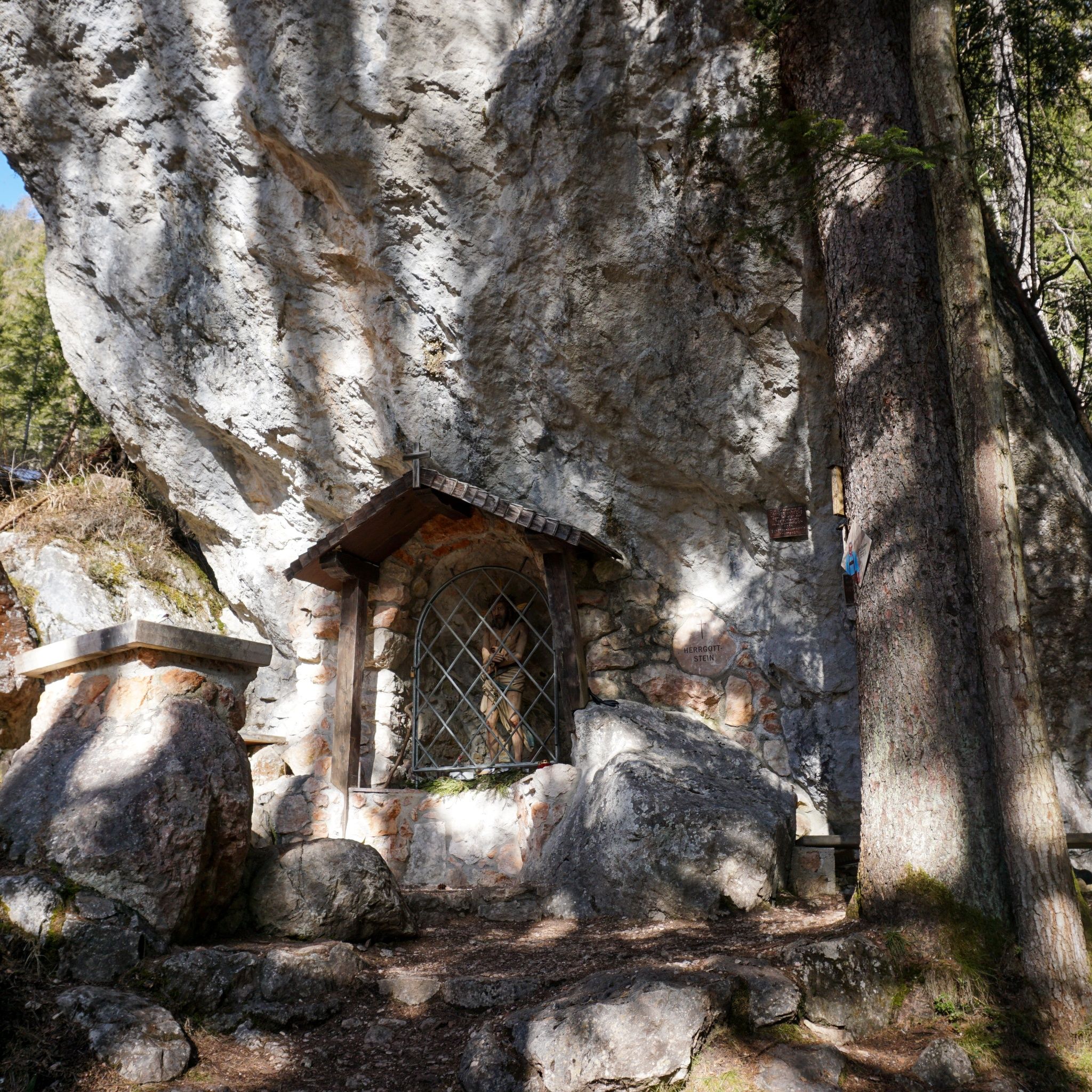
A 10K with plenty of bite: starting at the Wittberg car park, the route first follows the Forstmeile around Hilariberg. In Winkl, the first trail climb begins at Radlstein. Passing the Kramsach marble quarry, the route continues towards Münster, crosses the footbridge over the Habach stream and then climbs steeply towards Wehralm. After crossing the Grünsbach forest road, the trail climbs sharply through the woods near Großer Wetterstein. From Wehralm, a varied descent follows on narrow, sometimes tight trails, crossing the Habach once again. The final section leads along a narrow forest road past Herrgottstein and Kaltes Wasser before descending back to the starting point. With 10 km, 600 m of ascent and several steep trail sections, this compact route is ideal for trail runners looking to collect plenty of elevation over a short distance.

Nearby huts and mountain restaurants

Getting here

  • Arrival by public transport

    Bus 611 www.vvt.at Kramsach Sonnwendjochbahn

  • Parking

    ehem. Liftparkplatz der Sonnwendjochbahn

Weather

Today

clear sky
31°C/14°C
60%1.5l5 km/h

Wed

light rain showers
20°C/12°C
90%21.3l5 km/h

Thu

cloudy
18°C/11°C
35%1.1l5 km/h
Go to weather forecast
Newsletter

The mountain is calling? So does our newsletter!

In our monthly newsletter we reveal the best holiday tips for Tyrol.